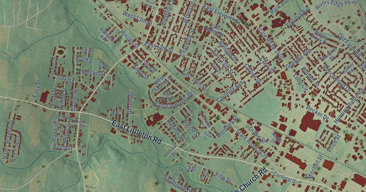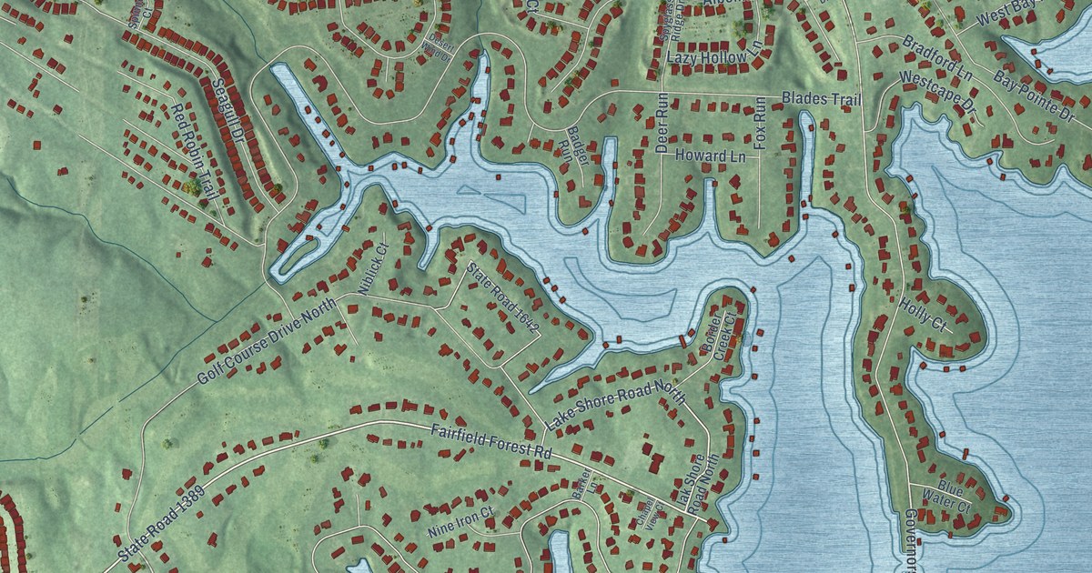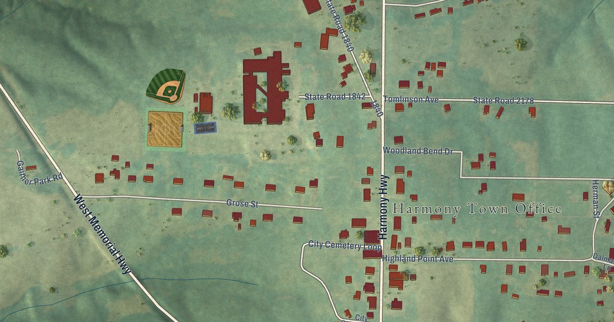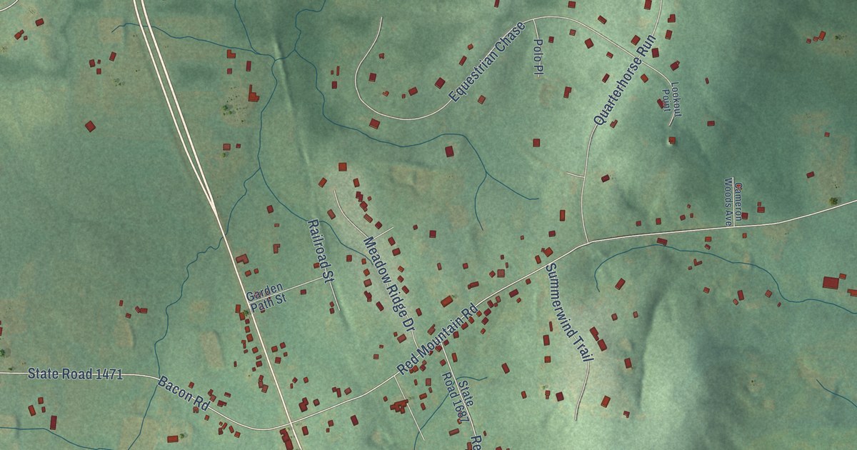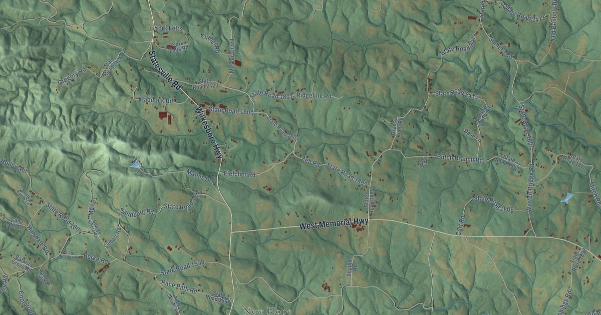
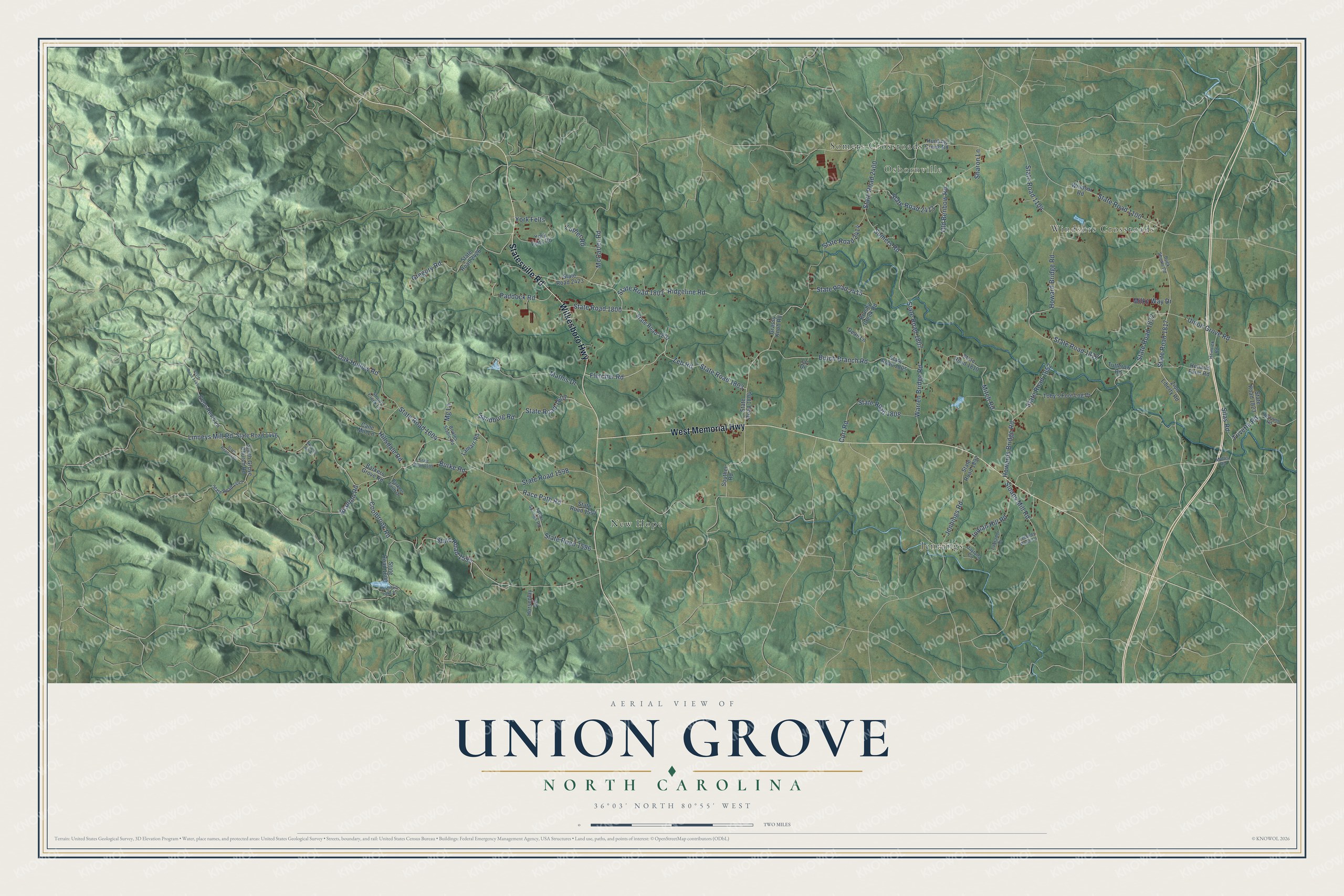
This beautifully detailed map of Union Grove, North Carolina was created in 2026 using aerial imagery combined with modern topographical, census, street and landmark data. It’s a one-of-a-kind view of Union Grove that combines accurate data with a vintage aesthetic. The map shows every building in its true location, many of the roads carry their names, and the shaded topographic relief shows the shape of the land.
Explore an aerial view of Union Grove, North Carolina
On the map you’ll find Osbornville, New Hope, Jennings, Windsors Crossroads, and Somers Crossroads, along with West Memorial Highway, Wilkesboro Highway, Statesville Road, State Road 1832, Union Grove Road, McCarter Road, State Road 1817, and more. If you look closely you can even find your house accurately drawn in its correct location. Zoom in on the preview to look for yours.
Did You Know?
From Internet Archive: "Williams formed a Presbytery at Union Grove, and organized and constituted a church of same faith and order."
Union Grove is a community in Iredell County.
Take a closer look at the Union Grove map
Names on this map
These names are printed on this map.
Places: Osbornville, New Hope, Jennings, Windsors Crossroads and Somers Crossroads.
Streets and roads: West Memorial Highway, Wilkesboro Highway, Statesville Road, State Road 1832, Union Grove Road, McCarter Road, State Road 1817, State Road 1800, Zeb Road, Ridgeline Road, State Road 1802, Old Benbow Road.
More street names, A to Z
Barkers Farm Drive, Barkers Grove Road, Bowles Stable Road, Branton Road, Brushy Creek Road, Buck Shoals Road, Burke Road, Butch Branch Road, Cane Mill Lane, Coolbrook Road, Curt Road, Daytona Circle, Dean Lane, Fletcher Road, Gene Revis Lane, Grassy Knob Road, Gregory Road, Hemrick Road, Hillsdale Road, Holcomb Road, Holland Farm Road, Horseplay Lane, Howard Bridge Road, Howards Bridge Road, Hunting Creek Road, Indian Hill Road, Irelands Pond Lane, Jennings Road, Labrador Drive, Lamarr Road, Linneys Mill Road, Lp Drive, Luther Road, Mathis Drive, Mg Lane, Milky Way Drive, Mitch Road, Mountain Lake Drive, Mullis Road, Oak Hollow Road, Paddock Road, Race Path Road, Sandburg Road, Sharon Lane, Silas Road, Skyview Hill Drive, Sloans Mill Road, Smith Grove Church Road, Somers Road, Souther Road, State Road 1100, State Road 1104, State Road 1443, State Road 1444, State Road 1445, State Road 1446, State Road 1595, State Road 1596, State Road 1597, State Road 1598, State Road 1599, State Road 1600, State Road 1604, State Road 1607, State Road 1801, State Road 1803, State Road 1804, State Road 1805, State Road 1807, State Road 1808, State Road 1810, State Road 1812, State Road 1823, State Road 1852, State Road 1892, State Road 2400, State Road 2413, State Road 2414, State Road 2415, State Road 2423, State Road 2426, Stoney Creek Lane, Taylor Springs Road, Toby's Foot Log Drive, Trivette Road, Tutterow Road, Warren Bridge Road, Windsor Road, York Felts, York Felts Road, Zion Liberty Road.
See it on a wall
The Union Grove map as a framed print. Swipe for more.


This beautifully detailed map of Union Grove makes an attractive addition to your office, library, or den, and it can even be used to teach children the geography and history of the area. It also makes a great gift for someone who left Union Grove and still calls it home. When you’re done exploring, click here to get your copy of the Union Grove map.