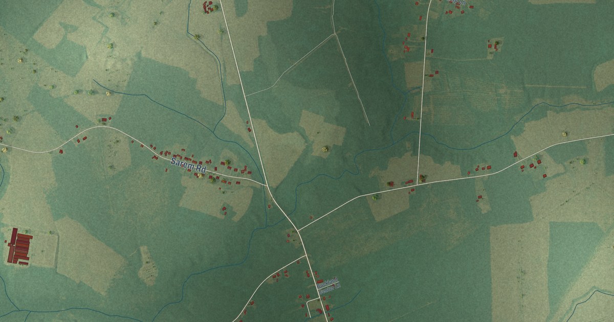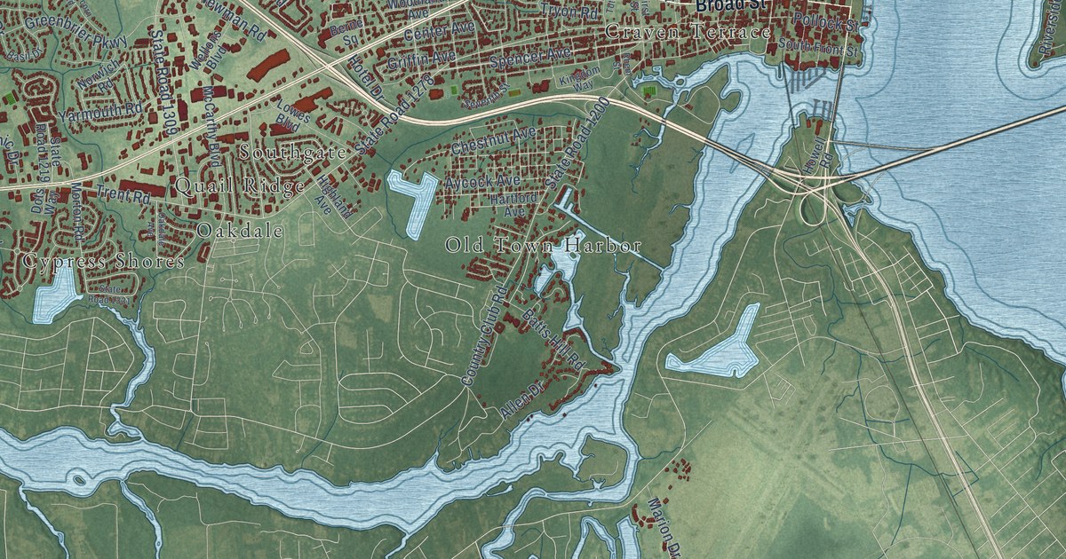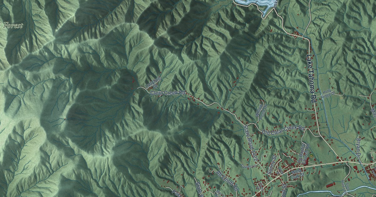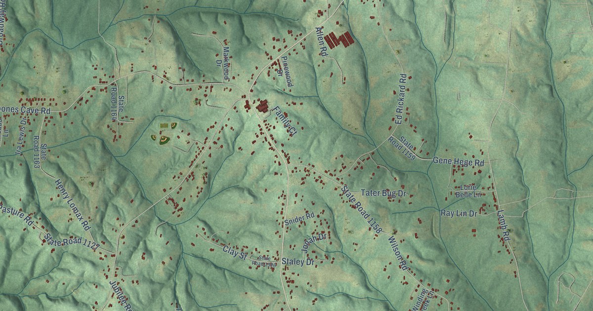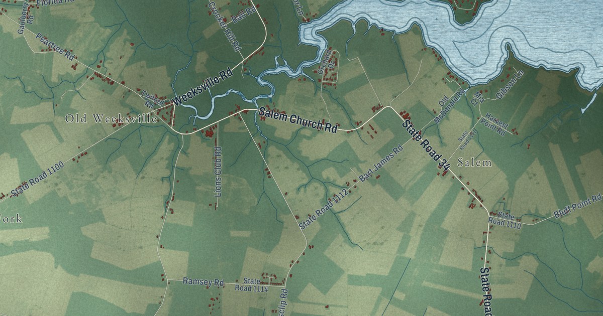
This beautifully detailed map of Weeksville, North Carolina was created in 2026 using aerial imagery combined with modern topographical, census, street and landmark data. It’s a one-of-a-kind view of Weeksville that combines accurate data with a vintage aesthetic. The map shows every building in its true location, many of the roads carry their names, and the shaded topographic relief shows the shape of the land.
Explore an aerial view of Weeksville, North Carolina
On the map you’ll find Old Weeksville, Listers Corner, Glen Cove, Frog Island, Symonds Creek, Salem, Winslow, and Bob White Fork, along with Salem Church Road, State Road 34, Soundneck Road, State Road 1102, and more. If you look closely you can even find your house accurately drawn in its correct location. Zoom in on the preview to look for yours.
Take a closer look at the Weeksville map
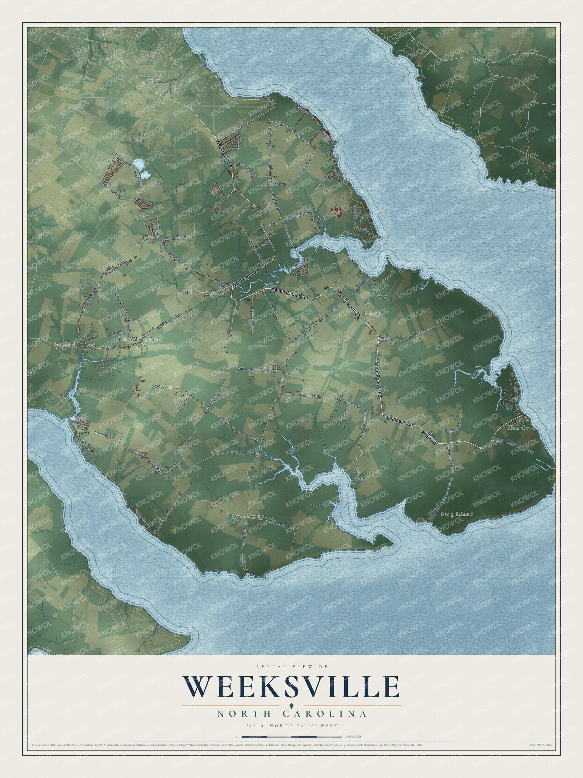
Names on this map
These names are printed on this map.
Places: Old Weeksville, Listers Corner, Glen Cove, Frog Island, Symonds Creek, Salem, Winslow and Bob White Fork.
Streets and roads: Salem Church Road, State Road 34, Soundneck Road, State Road 1102, Weeksville Road, Consolidated Road, State Road 1131, State Road 1103, State Road 1128, Shandneck Road, State Road 1118, Dry Ridge Road.
More street names, A to Z
Albemarle Drive, Aline Drive, Ballast Drive, Ball Road, Bart James Road, Bateman Drive, Bayshore Drive, Bayside Drive, Bayside Road, Bluff Point Road, Broomfield Trail, Chances Lane, Coppersmith Road, Crocker Hill Road, Daniels Drive, Davis Bay Road, Doublebridge Road, Esclip Road, Eyrie Lane, Florida Road, Folley Road, Frog Island Road, Gaulberry Road, Gibson Lane, Griffin Swamp Road, Hammer Road, Harris Road, Harvest Point Road, Hobbs Landing Road, John White Road, Leigh Farm Road, Lions Club Road, Little River Drive, Ludford Road, Lula Meads Road, Maggie Lane, Meadstown Road, Mia Court, New Road, Nixonton Road, O'Connor Lane, Old McDonald Road, Olivet Circle, Orchard Drive, Owens Drive, Parkers Lane, Peartree Road, Pine Shore Road, Poplar Drive, Quaker Drive, Ramsey Road, Rebellion Point Road, Seagull Drive, Shadneck Road, Small Drive, Spindrift Trail, State Road 1100, State Road 1101, State Road 1104, State Road 1107, State Road 1110, State Road 1111, State Road 1112, State Road 1114, State Road 1115, State Road 1116, State Road 1122, State Road 1124, State Road 1126, State Road 1129, State Road 1132, State Road 1134, State Road 1182, State Road 1214, State Road 1222, Toxey Road, Twiford Road, Wades Point Road, Wiley Drive, William Drive, Wills Road.
See it on a wall
The Weeksville map as a framed print. Swipe for more.


This beautifully detailed map of Weeksville makes an attractive addition to your office, library, or den, and it can even be used to teach children the geography and history of the area. It also makes a great gift for anyone with Weeksville roots. When you’re done exploring, click here to get your copy of the Weeksville map.