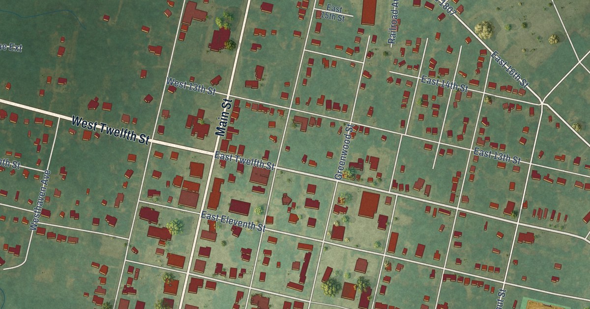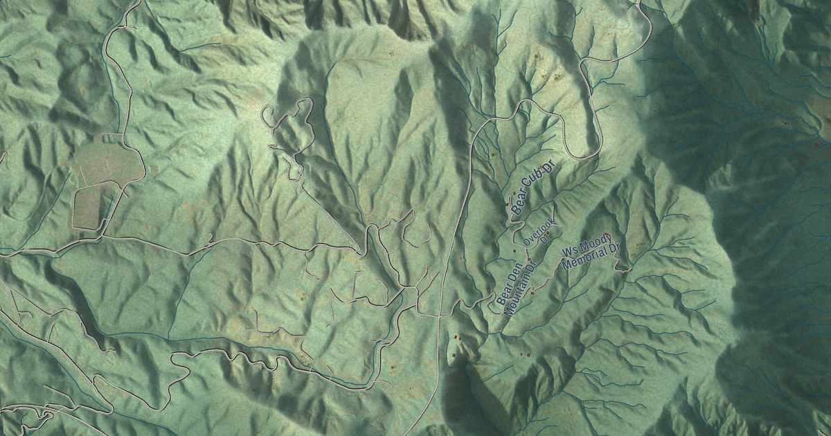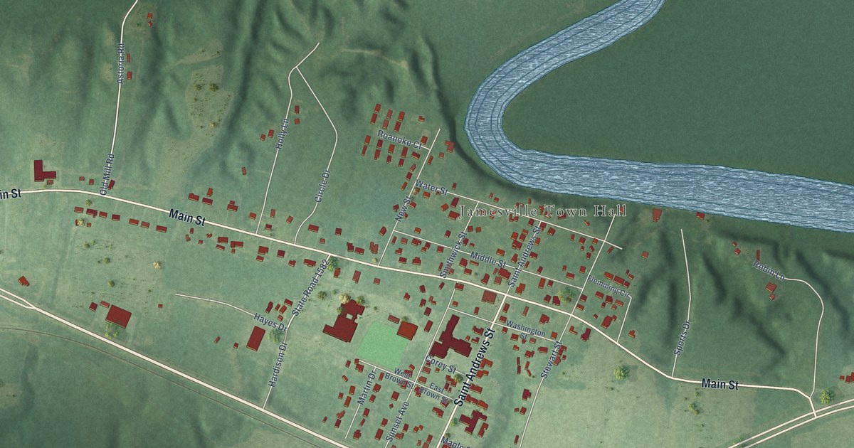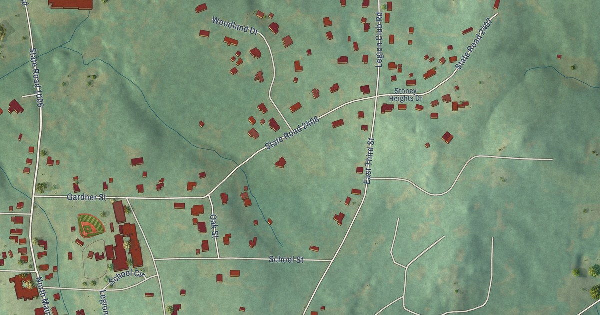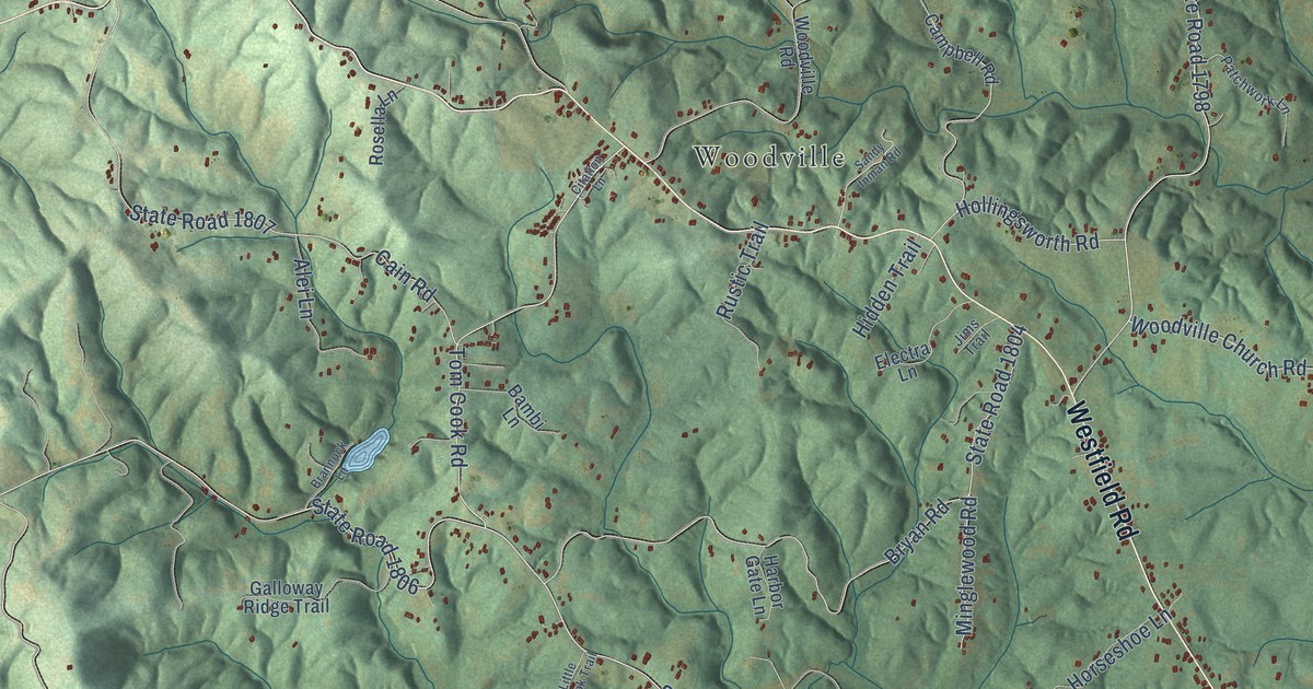
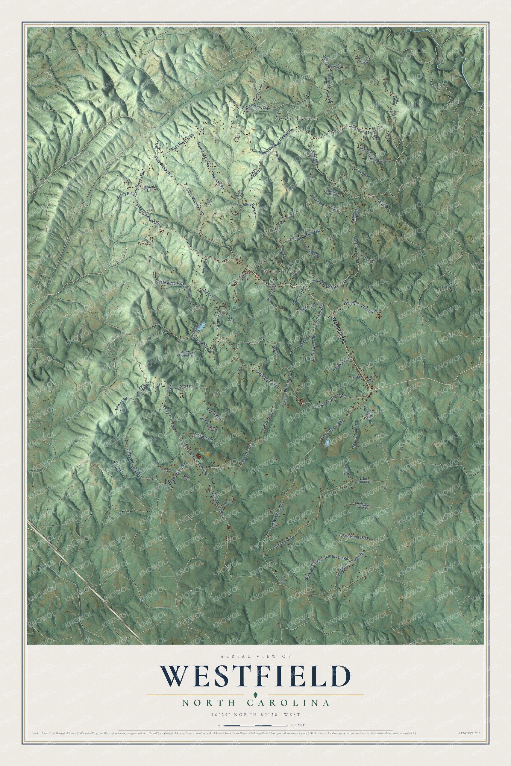
This beautifully detailed map of Westfield, North Carolina was created in 2026 using aerial imagery combined with modern topographical, census, street and landmark data. It’s a one-of-a-kind view of Westfield that combines accurate data with a vintage aesthetic. The map shows every building in its true location, many of the roads carry their names, and the shaded topographic relief shows the shape of the land.
Explore an aerial view of Westfield, North Carolina
On the map you’ll find Mount Herman, Albion, and Woodville, along with Westfield Road, State Road 1798, Woodville Church Road, State Road 1789, Cleo Cain Road, State Road 1808, State Road 1806, Tom Cook Road, Toms Creek Church Road, and more. If you look closely you can even find your house accurately drawn in its correct location. Zoom in on the preview to look for yours.
Did You Know?
From Internet Archive: "Renshaw, with the steamers Westfield, Harriet Lane, Owasco, and Clifton, and the mortar schooner Henry Janes, captured the defences of the harbor and city of Galveston without the loss of a man."
Westfield is a community in Surry County.
Take a closer look at the Westfield map
Names on this map
These names are printed on this map.
Places: Mount Herman, Albion and Woodville.
Streets and roads: Westfield Road, State Road 1798, Woodville Church Road, State Road 1789, Cleo Cain Road, State Road 1808, State Road 1806, Tom Cook Road, Toms Creek Church Road, Jessup Grove Church Road, Gusty Road, Mount Herman Church Road.
More street names, A to Z
Albion Church Road, Alei Lane, Alley Cat Lane, Athey Simmons Road, Bambi Lane, Banks Valley Lane, Bear Lane, Big Sky Trail, Blueboy Lane, Bob Jessup Road, Bosea Way, Bradford Lane, Brannock Lane, Brim Road, Brown Mountain Road, Brown Road, Bryan Road, Burdo Trail, Cain Road, Campbell Road, Century Farm Trail, Childress Road, Citation Lane, Cook Road, Cook School Road, Cory Trail, Cox Road, Dan Bryant Road, Electra Lane, Ella Lane, Epperson Church Road, Faith Lane, Falcon Lane, Five Forks Trail, Galloway Ridge Trail, Gilley Road, Harbor Gate Lane, Hidden Trail, Hollingsworth Road, Hooker Road, Horseshoe Lane, Howell Road, Jim Hill Road, Jims Trail, Johnson Farm Road, Little Brook Trail, Marlboro Trail, Mears Road, Millard Lane, Minglewood Road, Morton Lane, Norman Road, North Johnson Lane, Old Farm Trail, Old Westfield Road, Owens Lane, Patchwork Lane, Pat Irwin Road, Pee Wee Lane, Precinct Road, Rosella Lane, Rustic Trail, Ryan Road, Sandy Inman Road, Sheba Trail, Slate Mountain Road, Snody Road, State Road 1786, State Road 1787, State Road 1791, State Road 1793, State Road 1794, State Road 1795, State Road 1796, State Road 1799, State Road 1804, State Road 1807, State Road 1809, State Road 1811, State Road 1812, State Road 1814, State Road 1815, State Road 1816, State Road 1817, State Road 1823, State Road 1831, State Road 1833, State Road 1834, State Road 1835, State Road 1848, State Road 1881, State Road 1920, Swansboro Lane, Tadpole Lane, Top Dog Trail, Woodville Road.
See it on a wall
The Westfield map as a framed print. Swipe for more.


This beautifully detailed map of Westfield makes an attractive addition to your office, library, or den, and it can even be used to teach children the geography and history of the area. It also makes a great gift for anyone who grew up in Westfield or moved away. When you’re done exploring, click here to get your copy of the Westfield map.