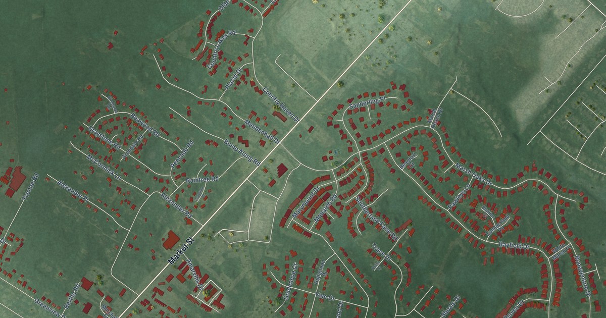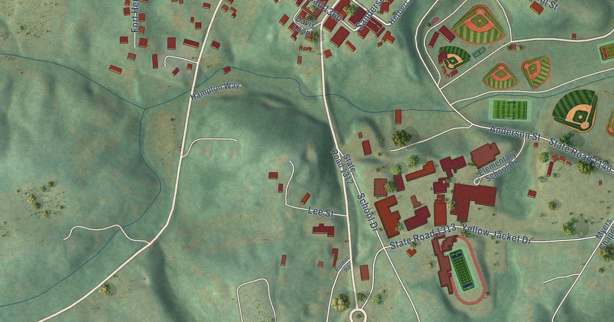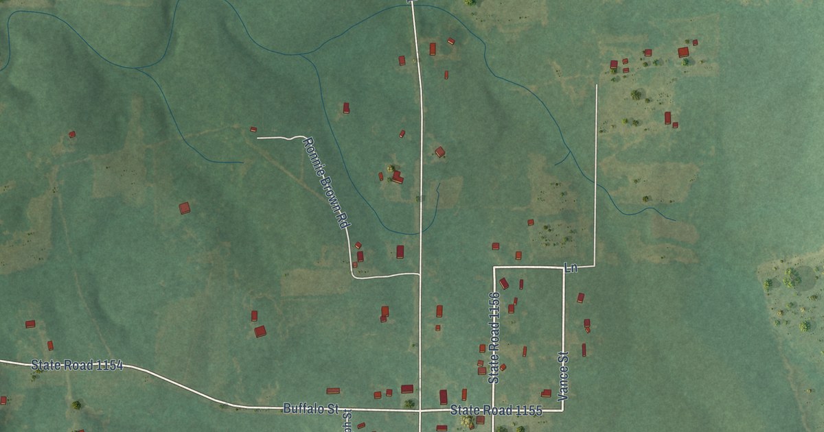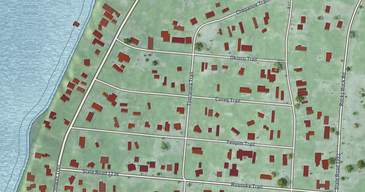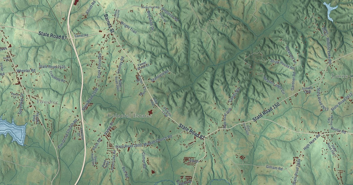
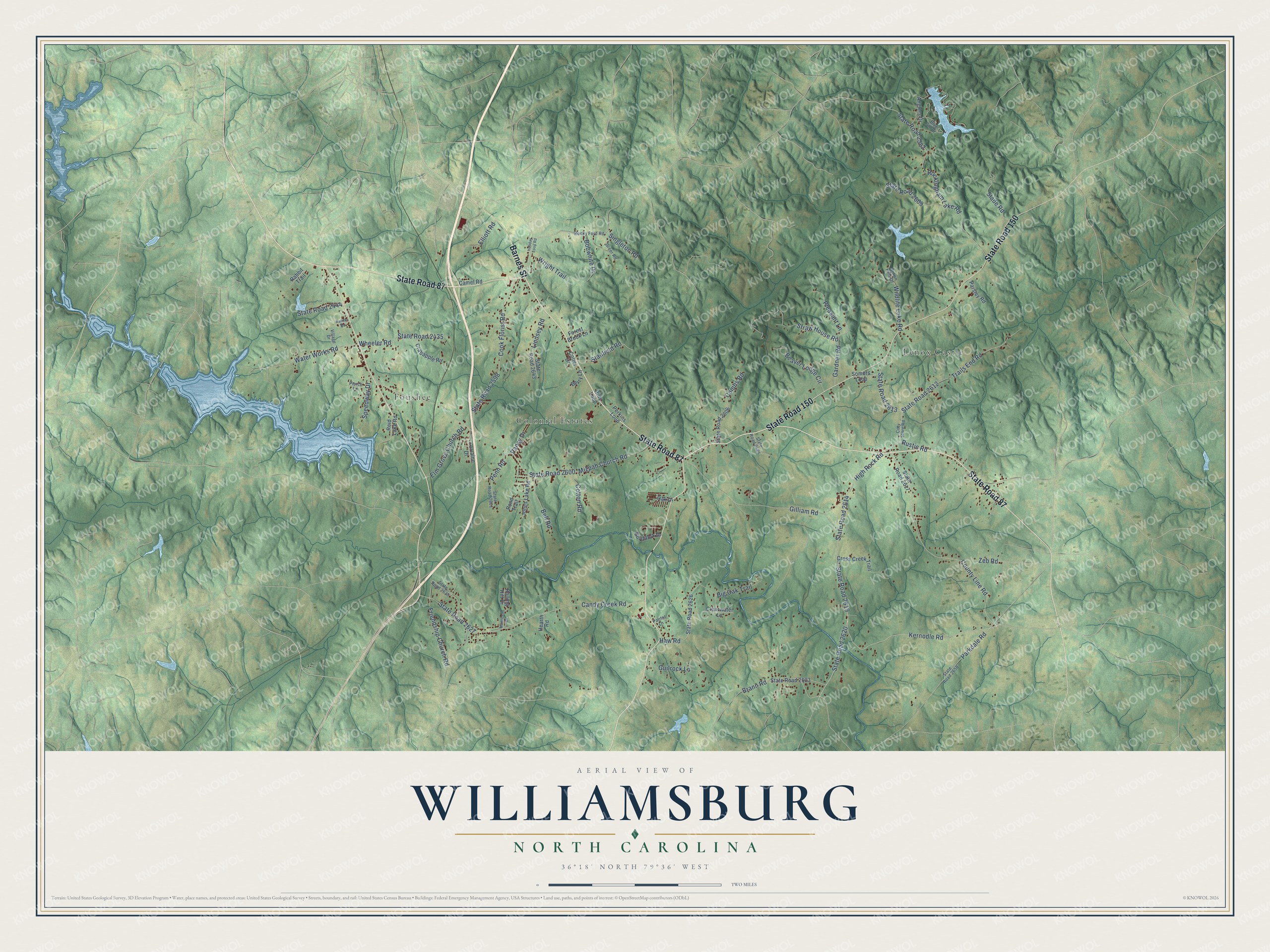
This beautifully detailed map of Williamsburg, North Carolina was created in 2026 using aerial imagery combined with modern topographical, census, street and landmark data. It’s a one-of-a-kind view of Williamsburg that combines accurate data with a vintage aesthetic. The map shows every building in its true location, many of the roads carry their names, and the shaded topographic relief shows the shape of the land.
Explore an aerial view of Williamsburg, North Carolina
On the map you’ll find Colonial Estates, Lenox Castle, and Foushee, along with State Road 87, State Road 150, Barnes Street, High Rock Road, State Road 2613, Kernodle Road, State Road 2620, State Road 2582, State Road 2619, and more. If you look closely you can even find your house accurately drawn in its correct location. Zoom in on the preview to look for yours.
Did You Know?
From Internet Archive: "According to the Neujahrsblatt, Christopher's eldest son came at the time of the settlement and stayed here after his father's departure, settling finally in Williamsburg, New York, where he married."
Williamsburg is a community in Rockingham County.
Take a closer look at the Williamsburg map
Names on this map
These names are printed on this map.
Places: Colonial Estates, Lenox Castle and Foushee.
Streets and roads: State Road 87, State Road 150, Barnes Street, High Rock Road, State Road 2613, Kernodle Road, State Road 2620, State Road 2582, State Road 2619, Mizpah Church Road, State Road 2600, State Road 2627.
More street names, A to Z
Anglers Drive, Beaver Lodge Circle, Bell Road, Berry Lane, Big Oak Trail, Blue Gill Drive, Bobwhite Drive, Brann Road, Brown Hills Drive, Camel Road, Candy Creek Road, Citty Store Road, Clearwater Lane, Colter Drive, Combs Road, Cook Florist Road, Cotton Road, County Line Road, Crabapple Road, Cross Creek Trail, Elliott Road, Elm Grove Church Road, Forest Brook Lane, Friendship Church Road, Gardner Road, Gilliam Road, Greer Road, Guilrock Lane, Haw Road, Hearth Road, Hills Loop, Holiday Loop Road, Jones Lake Road, Lindsey Road, Lorraine Drive, Monticello Drive, Northfork Drive, Oak Drive, Palmer Road, Pansy Drive, Parkdale Road, Parsley Road, Patriot Lane, Penn Road, Perkins Loop, Pierce Lane, Pleasant Lane, Pond Trail, Rabbit Trail, Reid Lake Road, Rockingham Lake Road, Rocky Ford Road, Rolling Hill Drive, Rustic Road, Singleton Road, Slade Road, Somers Loop, Speedway Drive, Stanfield Road, State Road 2435, State Road 2444, State Road 2598, State Road 2601, State Road 2606, State Road 2609, State Road 2612, State Road 2614, State Road 2617, State Road 2623, State Road 2625, State Road 2626, State Road 2629, State Road 2643, State Road 2658, Straw House Road, Trails End Road, Village Drive, Water Works Road, Wheeler Road, Wildlife Lake Road, Wright Trail, Zeb Road.
See it on a wall
The Williamsburg map as a framed print. Swipe for more.


This beautifully detailed map of Williamsburg makes an attractive addition to your office, library, or den, and it can even be used to teach children the geography and history of the area. It also makes a great gift for anyone with Williamsburg roots. When you’re done exploring, click here to get your copy of the Williamsburg map.