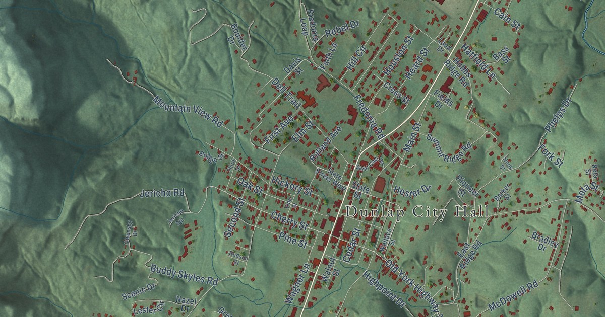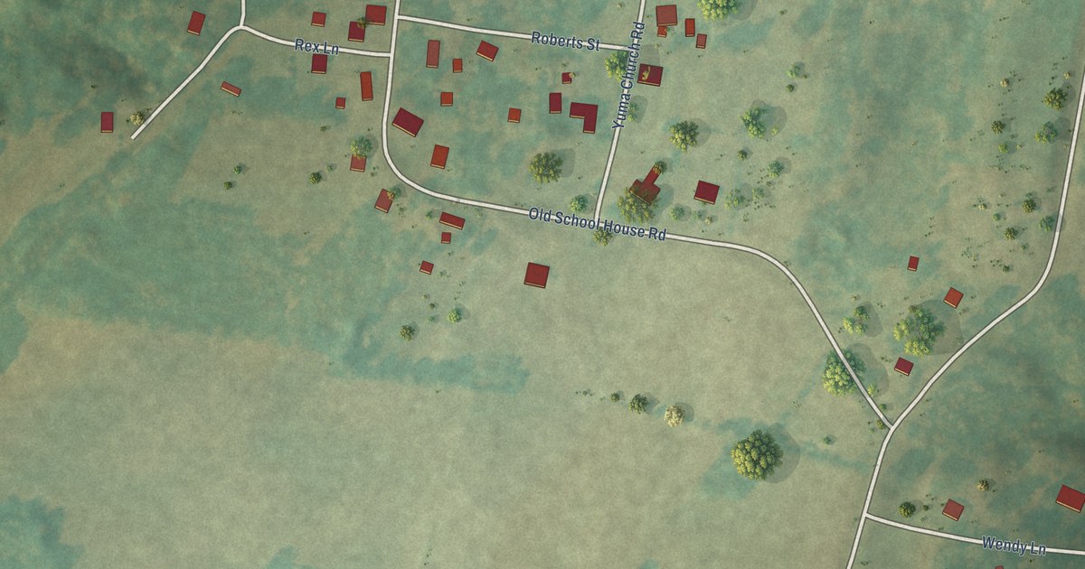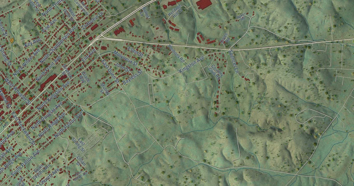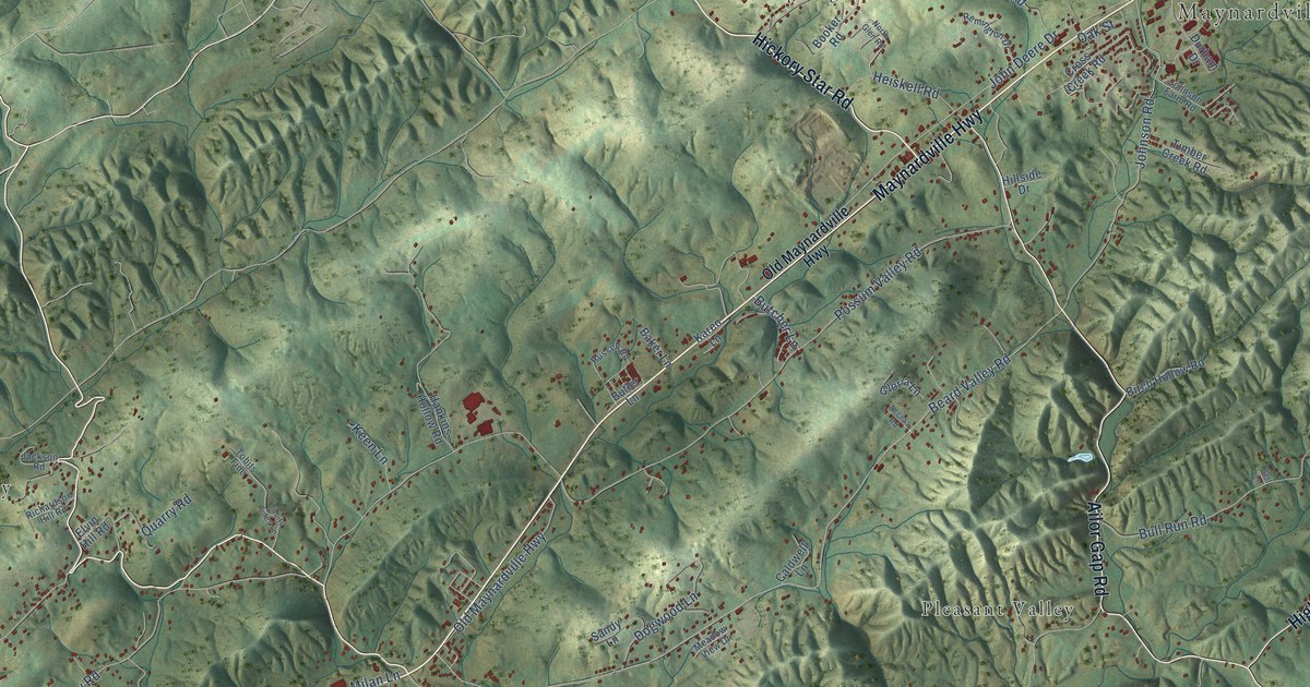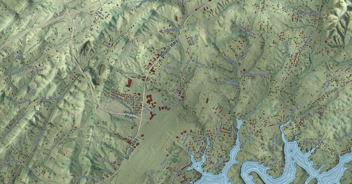
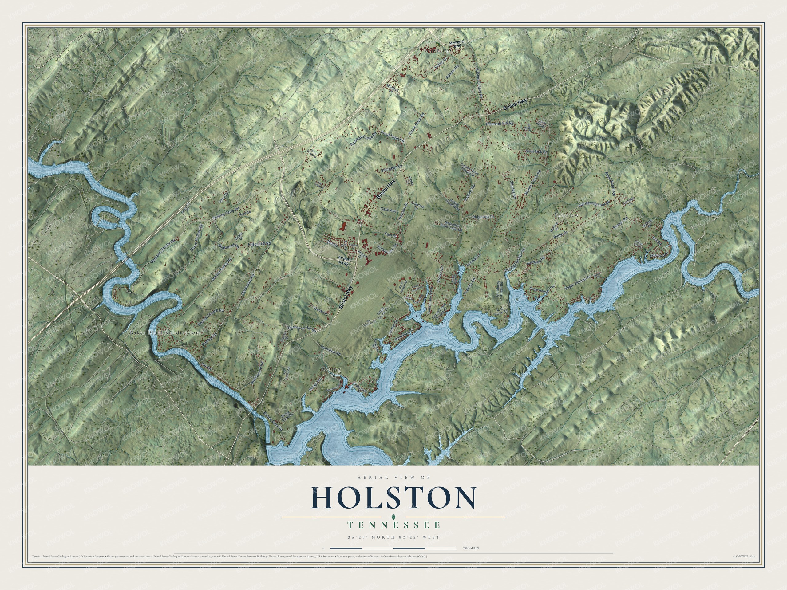
This beautifully detailed map of Holston, Tennessee was created in 2026 using aerial imagery combined with modern topographical, census, street and landmark data. It’s a one-of-a-kind view of Holston that combines accurate data with a vintage aesthetic. The map shows every building in its true location, many of the roads carry their names, and the shaded topographic relief shows the shape of the land.
Explore an aerial view of Holston, Tennessee
On the map you’ll find Boring, Gunnings, Fairview, and Baker Bluff Subdivision, along with Bristol Highway, Shipley Ferry Road, Boone Dam Road, Muddy Creek Road, Hamilton Road, Dunlap Road, Centenary Road, Hawley Road, and more. If you look closely you can even find your house accurately drawn in its correct location. Zoom in on the preview to look for yours.
Did You Know?
From Internet Archive: "Some time after this they came to the West, stopping one or two years in the Holston country, and finally settled near Goshen, in Maury county, Tennessee."
Holston is a community in Sullivan County.
Take a closer look at the Holston map
Names on this map
These names are printed on this map.
Places: Boring, Gunnings, Fairview and Baker Bluff Subdivision.
Streets and roads: Bristol Highway, Shipley Ferry Road, Boone Dam Road, Muddy Creek Road, Hamilton Road, Dunlap Road, Centenary Road, Hawley Road, Fairview School Road, Wahoo Valley Road, Devault Bridge Road, Gottland Shoals Road.
More street names, A to Z
Adams Chapel Road, Adams Road, Airport Circle, Airport Parkway, Arch Hicks Road, Bell Street, Beulah Church Road, Bill Road, Bond Town Road, Bowman Creek Road, Brown Circle, Bruce Doan Road, Buffalo Road, Buttermilk Road, Candy Creek Private Drive, Cargo Center Drive, Carol Hill Drive, Carol Lane, Carriage Lane, Cash Avenue, Center Drive, Charlie Avenue, Country View Private Drive, Crawford Lane, Deck Lane, Derick Private Drive, Doran Hollow Road, Ethel Beard Road, Fain Drive, Flat Creek Lane, Ford Road, Forest Lane North, Forest Lane South, Gammon Road, Goods Drive, Grande Harbor Way, Green Lane, Hamilton Drive, Hawley Road West, Herron Drive, Hilton Hill Road, Holston Drive, Holston Pvt Drive, Isley Drive, Lakeside Drive, Memorial Boulevard, Methodist Bible Camp Road, Minga Road, Minga Store Road, Mitchell Kidd Drive, Morelock Drive, North Hangar Road, Old Hamilton Road, Old Muddy Creek Road, Piercy Street, Pitt Road, Pleasant Hill Road, Ridge Drive, Ridgeway Drive, Robinwood Road, Rutledge Lane, Sam Gammon Road, Sanders Street, Sandy Point Drive, Shanks Road, Shaver Road, Spangler Road, Spurgeon Lane, Steadman Road, Stevenson Hill Road, Sugar Hollow Road, Sugar Hollow Trail, Sunset Road, Valley Drive, Walling Road, Wexford Lane, Wildwood Road, Yoakley Road.
See it on a wall
The Holston map as a framed print. Swipe for more.


This beautifully detailed map of Holston makes an attractive addition to your office, library, or den, and it can even be used to teach children the geography and history of the area. It also makes a great gift for anyone with Holston roots. When you’re done exploring, click here to get your copy of the Holston map.