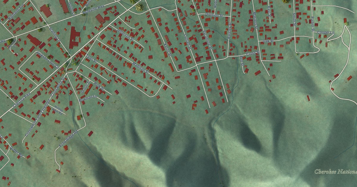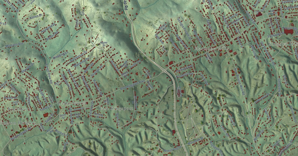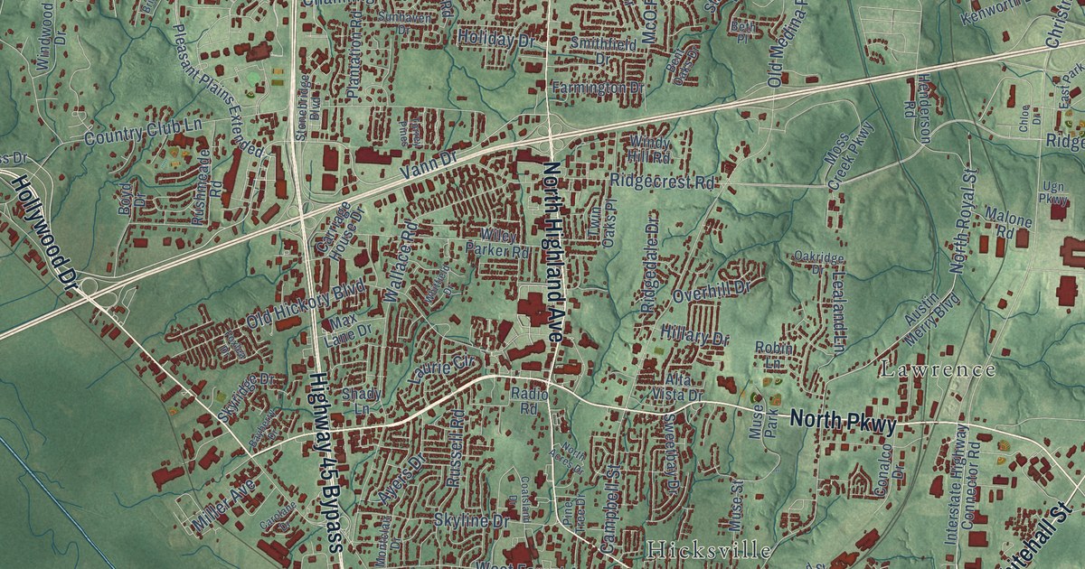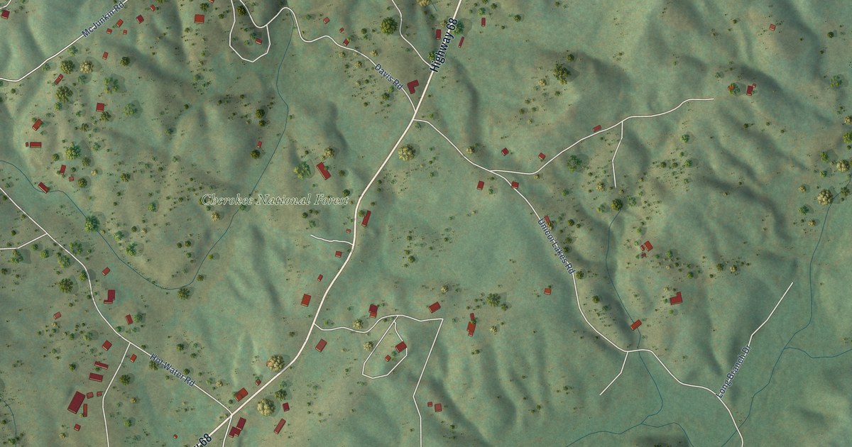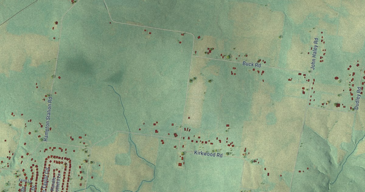
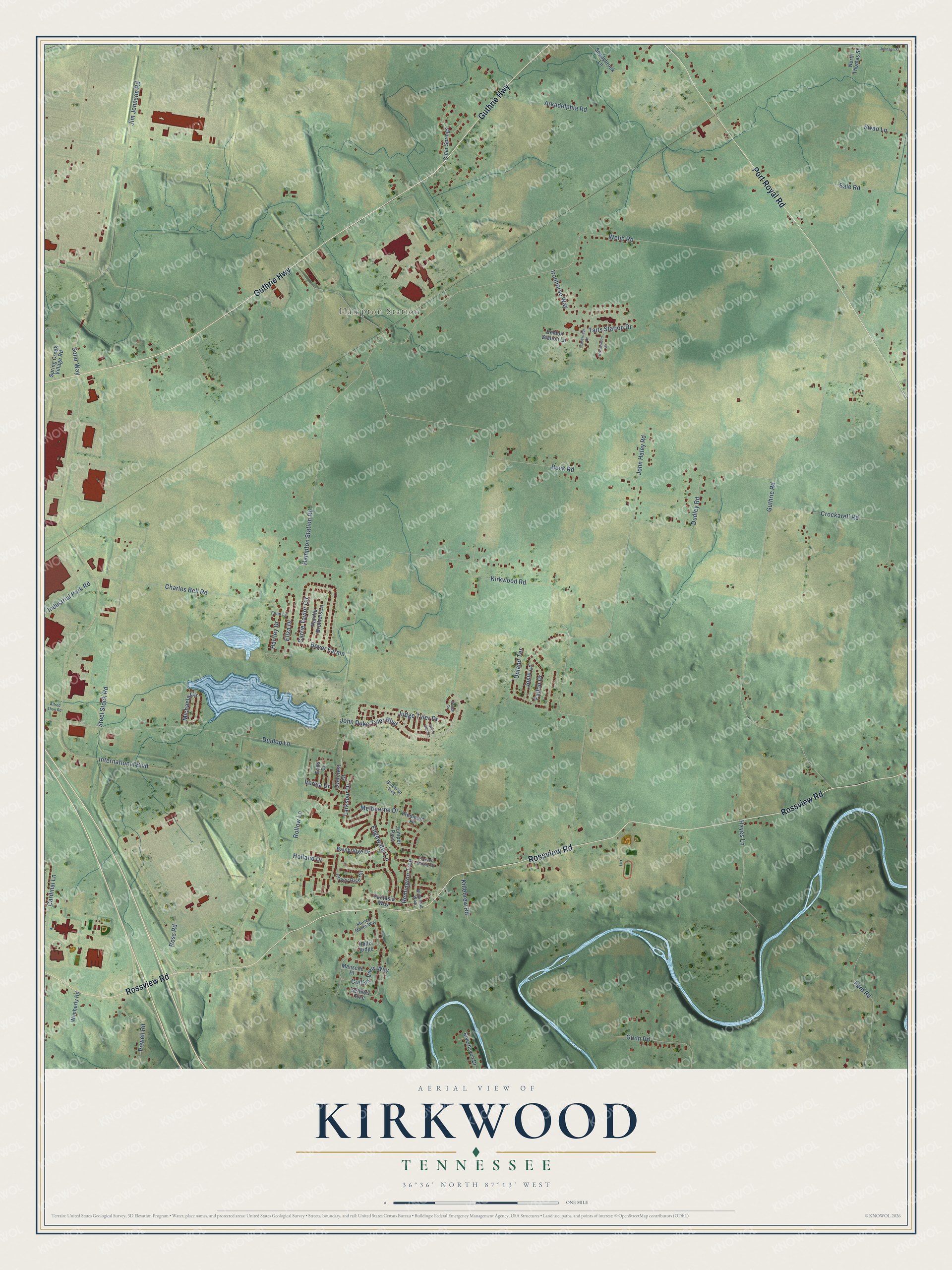
This beautifully detailed map of Kirkwood, Tennessee was created in 2026 using aerial imagery combined with modern topographical, census, street and landmark data. It’s a one-of-a-kind view of Kirkwood that combines accurate data with a vintage aesthetic. The map shows every building in its true location, many of the roads carry their names, and the shaded topographic relief shows the shape of the land.
Explore an aerial view of Kirkwood, Tennessee
On the map you’ll find Hampton Station, along with Rossview Road, Guthrie Highway, Port Royal Road, Dunlop Lane, Guthrie Road, International Boulevard, Kirkwood Road, Webb Road, Jim Johnson Road, Hampton Station Road, Buck Road, and more. If you look closely you can even find your house accurately drawn in its correct location. Zoom in on the preview to look for yours.
Take a closer look at the Kirkwood map
Names on this map
These names are printed on this map.
Places: Hampton Station.
Streets and roads: Rossview Road, Guthrie Highway, Port Royal Road, Dunlop Lane, Guthrie Road, International Boulevard, Kirkwood Road, Webb Road, Jim Johnson Road, Hampton Station Road, Buck Road, John Duke Tyler Boulevard.
More street names, A to Z
Alfred Thun Road, Arkadelphia Road, Bainbridge Drive, Beldon Station Lane, Black Gum Lane, Bluebriar Trce, Boyer Farms, Browning Way, Buggy Cv, Cardinal Lane, Carrie Taylor Circle, Carson Bailey Court, Charles Bell Road, Clear Springs, Collins View Way, Covey Rise Circle, Crockarell Road, Crossroads Drive, Dudley Road, Eads Court, Edgewater Lane, Eliza Drive, Fallon Drive, Fantasia Way, Fenn Lane, Ford Road, Grovewood Court, Gunn Road, Hartley Drive, Hayes Lane, Holland Drive, Hollis Ridge, Industrial Park Road, Ironhorse Way, John Haley Road, Johnson Street, Josie Lane, Judge Tyler Drive, Juniper Pass, Killebrew Road, Larkspur Drive, Manscoe Place, Melbourne Drive, Michaela Circle, North Thomas Street, Overcrest Court, Piedmont Place, Powell Road, Randle Brothers Lane, Remington Trce, Riverhaven Drive, Rollow Lane, Ross Road, Sale Road, Settlers Trce, Shadybrook Lane, Solar Way, Spring Creek Village Road, Steel Stock Road, Stones Manor Way, Swan Lane, Taits Station Drive, Upland Terrace, Verisa Drive, Wimberly Road.
See it on a wall
The Kirkwood map as a framed print. Swipe for more.


This beautifully detailed map of Kirkwood makes an attractive addition to your office, library, or den, and it can even be used to teach children the geography and history of the area. It also makes a great gift for someone who left Kirkwood and still calls it home. When you’re done exploring, click here to get your copy of the Kirkwood map.