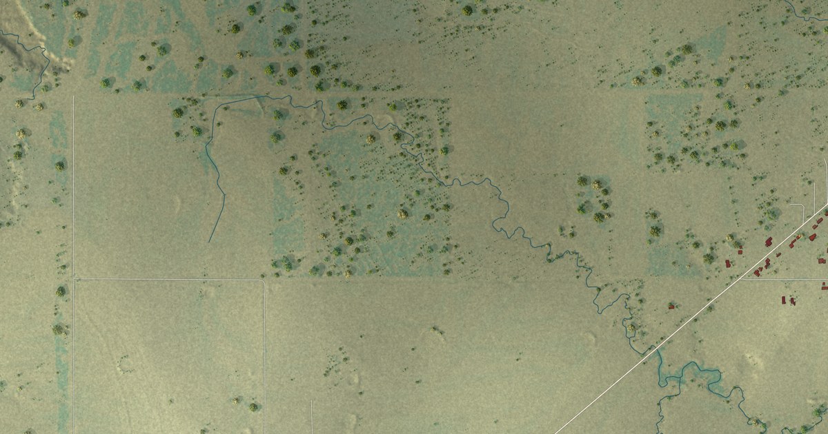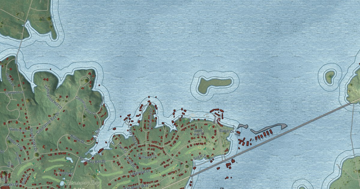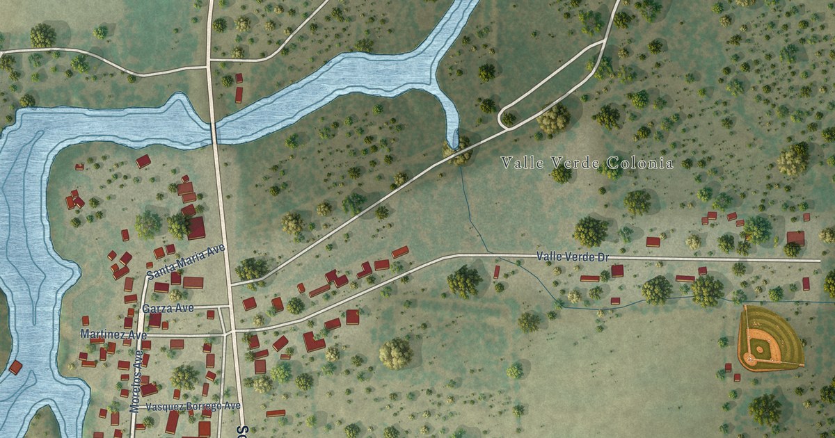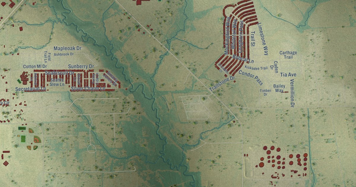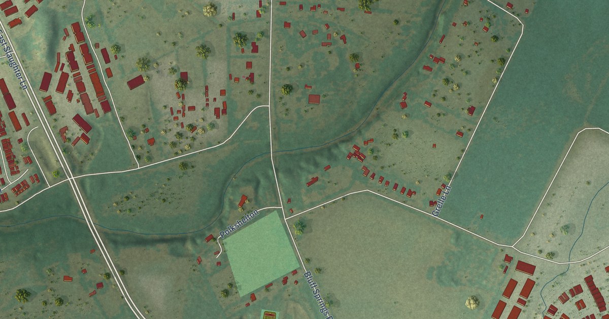
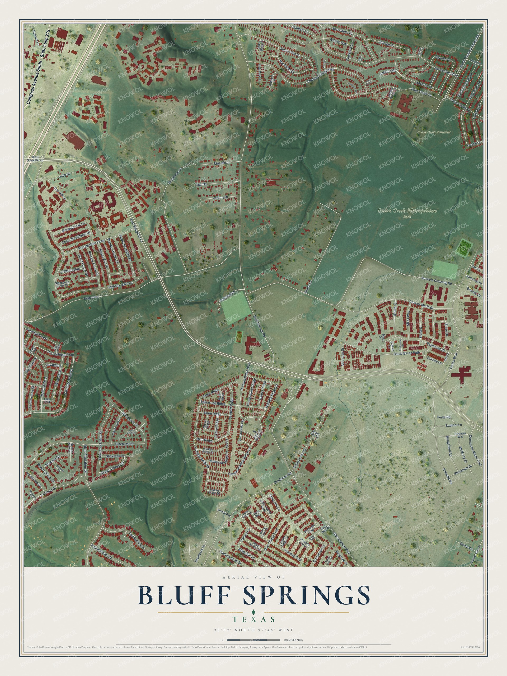
This beautifully detailed map of Bluff Springs, Texas was created in 2026 using aerial imagery combined with modern topographical, census, street and landmark data. It’s a one-of-a-kind view of Bluff Springs that combines accurate data with a vintage aesthetic. The map shows every building in its true location, many of the roads carry their names, and the shaded topographic relief shows the shape of the land.
Explore an aerial view of Bluff Springs, Texas
On the map you’ll find Onion Creek Greenbelt, Onion Creek Metropolitan Park, and Dale Ridge, along with State Loop 275, Congress Avenue South, East Slaughter Lane, Vandale Ridge Drive, Winfield Ridge Drive, Steinbeck Drive, Dry Tortugas Trail, Bluff Springs Road, Nuckols Crossing Road, and more. If you look closely you can even find your house accurately drawn in its correct location. Zoom in on the preview to look for yours.
Take a closer look at the Bluff Springs map
Names on this map
These names are printed on this map.
Places: Onion Creek Greenbelt, Onion Creek Metropolitan Park, National Park and Crater Lake.
Streets and roads: State Loop 275, Congress Avenue South, East Slaughter Lane, Vandale Ridge Drive, Winfield Ridge Drive, Dale Ridge, Steinbeck Drive, Dry Tortugas Trail, Bluff Springs Road, Nuckols Crossing Road, Old Lockhart Highway, Brandt Road.
More street names, A to Z
Abby Ann Lane, Afton Ridge, Alderman Drive, Andravida Drive, Arbor Hill Lane, Arbor Ridge Court, Ardmore Circle, Ashley Way, Barkdale Court, Baythorne Drive, Belgrave Drive, Big Boggy, Big Thicket Drive, Blaze Drive, Borage Drive, Bradshaw Road, Braemar Cv, Braemar Drive, Brandts Woods Street, Brents Elm Drive, Brockman Lane, Brumby Drive, Buttonbush Drive, Cameo Lane, Candlemeadow Ridge Drive, Canella Drive, Capitol View Drive, Cattalo Lane, Cattle Baron Path, Cecil Drive, Channel Island Drive, Charles Merle Drive, Charlotte Estates Drive, Chateau Village Way, Cheryl Lynn Road, Colonial Club Drive, Comanche Moon Trail, Copper Ridge Cv, Corrine Lane, Cowman Way, Crescendo Lane, Deer Chase Trail, Dolce Vista Drive, Dome Vw, Donley Ridge, Dyer Drive, Edge Creek Drive, Edge Park Circle, Emerald Ridge Drive, Essex, Febo Way, Forest Grove Drive, Forks Road, Gertrudis Loop, Grand Cypress Drive, Grant Forest Drive, Grelle Lane, Grove Ridge, Hidden Brook Court, Holly Oak Circle, Hubach Lane, Idlewilde Run, Innisbrook Drive, Interlachen Lane, Jenibeth Lane, Judy Drive, Jupiter Hills Drive, Karen Ann Court, Katydid Lane, Kleberg Trail, Knottingwood Court, La Costa Drive, Ladybug Street, Lake Clark, Lautner Lane, Little Theater Bend, Lone Pine Lane, Mark Ridge, McMurty Street, Meadow Lake Boulevard, Melbrook Ridge Drive, Melissa Oaks Lane, Meridian Oak Lane, Mina Drive, Mozelle Lane, Muirlands Drive, Murfield Circle, Narrow Glen Parkway, Newport Ridge, Oak Hill Lane, Onion Creek Drive, Onion Crossing Drive, Orangewood Ridge, Orchard Ridge Boulevard, Panhandle Drive, Perkins Drive, Petrified Forest, Pinehurst Drive, Pinnacle Crst Lp, Pioneer Forest Drive, Poinsetta Lane, Polkshelton, Prairie Dunes Drive, Quarry Ridge, Quicksilver Boulevard, Rangeland Road, River Plantation Drive, Rotunda Vw, Rowlands Sayle Road, Royal Lytham Drive, Ruby Hills, Ruby Hills Road, Saguaro Road, Savorey Lane, Shinnecock Hills Drive, Shire Ridge, Sikes Way, Silver Screen Drive, Silverstone Drive, Slater Drive, Slickrock Cv, South Pleasant Valley Road, Springville Lane, Stephanne Creek Cv, Stockman Drive, Sunny Hills Drive, Tallowood Ridge, Tee Drive, Travers Ridge Drive, Vanley Ridge Drive, Ventura Ridge Road, Vertex Boulevard, Vienna Avenue, Vinca Circle, Voyageurs, West Slaughter Lane, Whitter Drive, Wild Dunes Court, Wild Dunes Drive, Wild Onion Drive, Wind Cave, Yellowstone Drive, Zachary Scott Street.
See it on a wall
The Bluff Springs map as a framed print. Swipe for more.


This beautifully detailed map of Bluff Springs makes an attractive addition to your office, library, or den, and it can even be used to teach children the geography and history of the area. It also makes a great gift for anyone who grew up in Bluff Springs or moved away. When you’re done exploring, click here to get your copy of the Bluff Springs map.