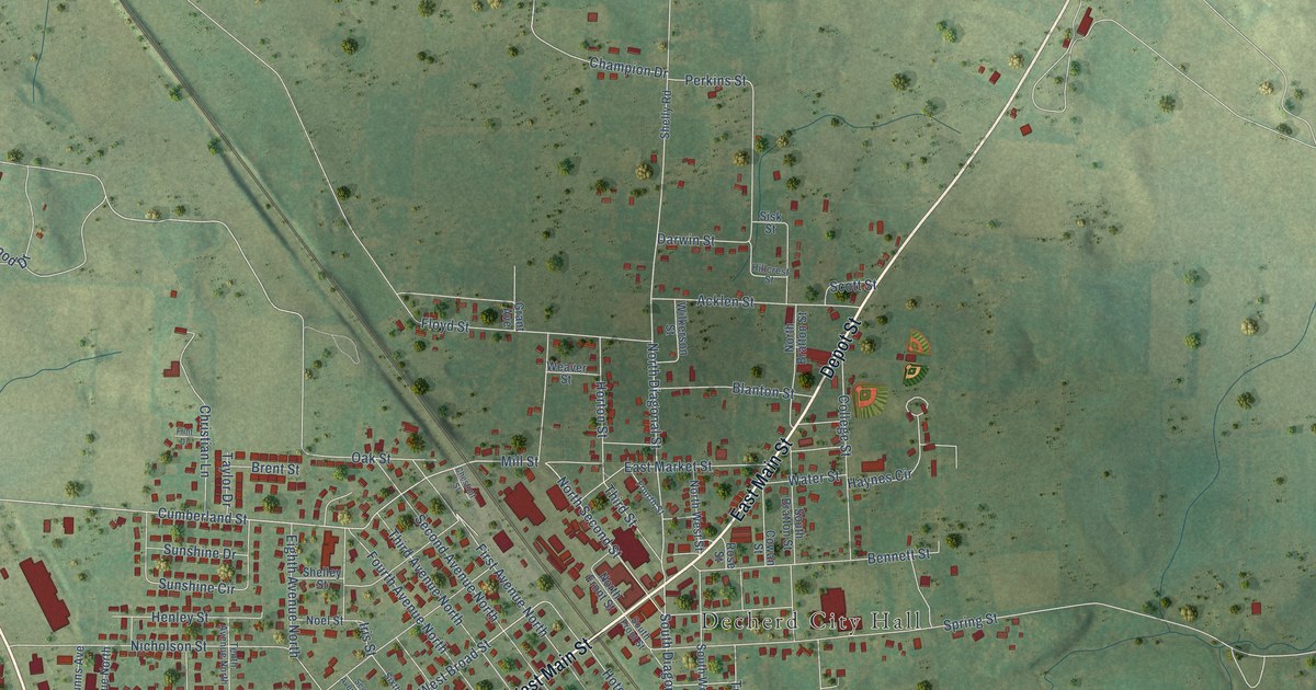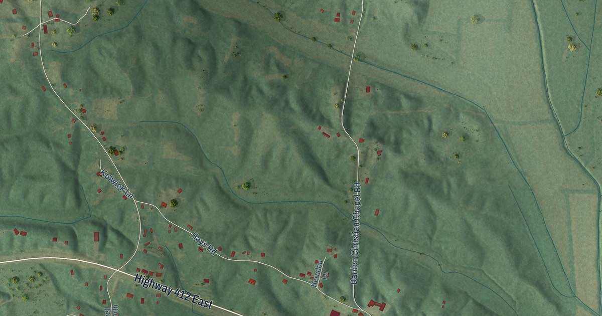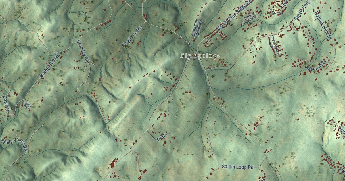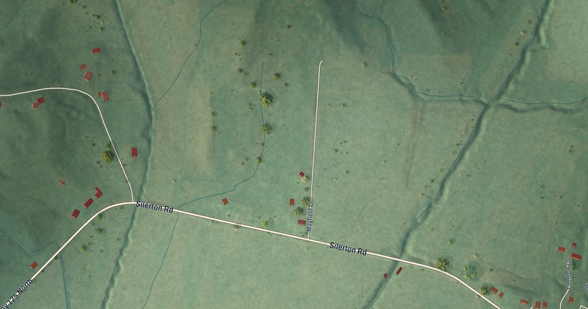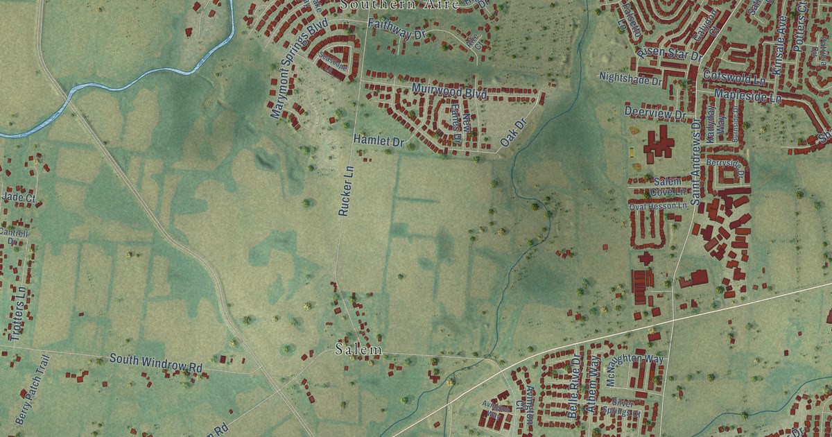
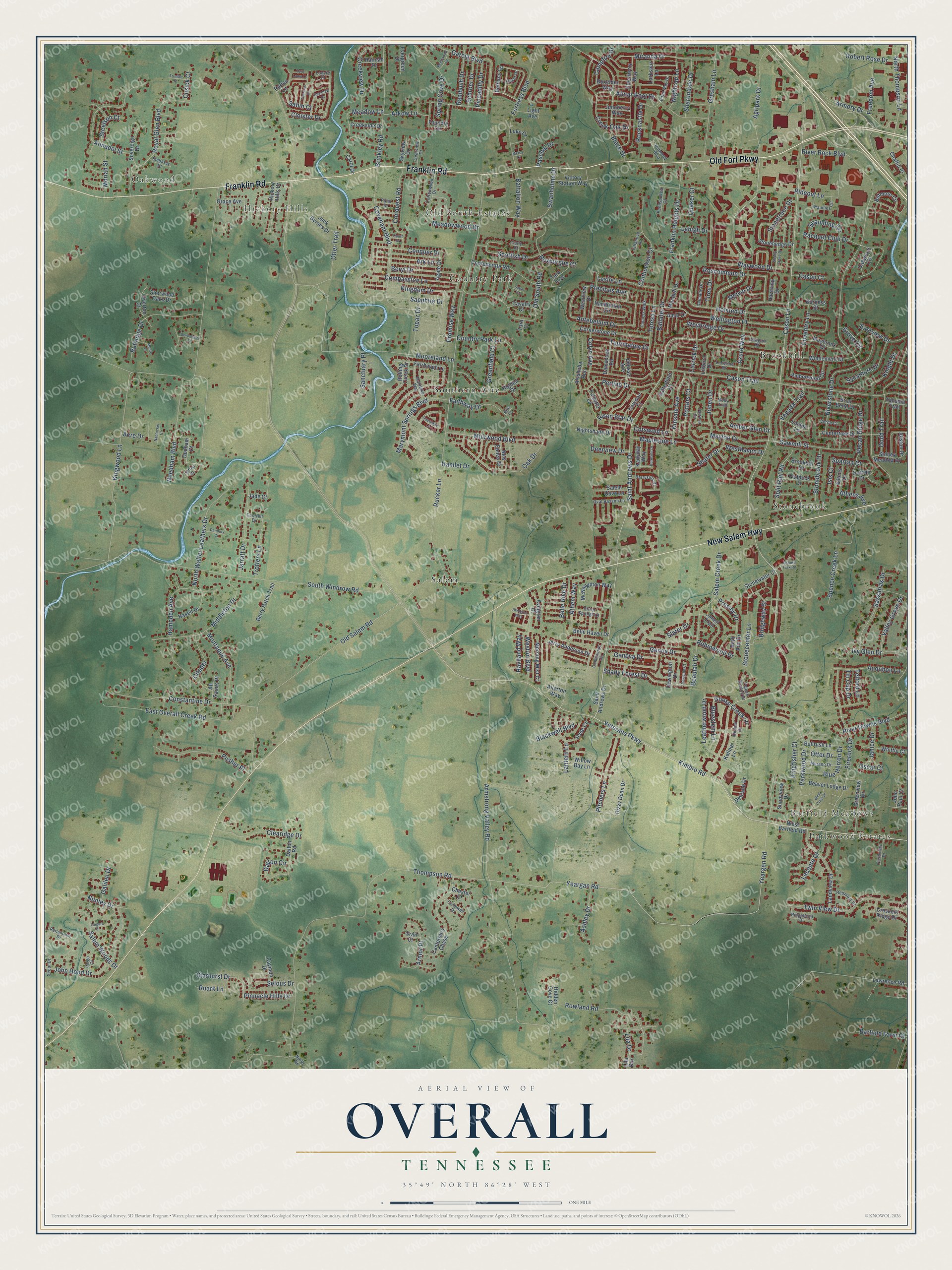
This beautifully detailed map of Overall, Tennessee was created in 2026 using aerial imagery combined with modern topographical, census, street and landmark data. It’s a one-of-a-kind view of Overall that combines accurate data with a vintage aesthetic. The map shows every building in its true location, many of the roads carry their names, and the shaded topographic relief shows the shape of the land.
Explore an aerial view of Overall, Tennessee
On the map you’ll find Oakwood, Parkwood Estates, Hickory Hills, Barfield Meadows, Brookhill, Salem, Stonebrook, Old South Estates, Southern Aire, and Country Park, along with Old Fort Parkway, Franklin Road, and more. If you look closely you can even find your house accurately drawn in its correct location. Zoom in on the preview to look for yours.
Did You Know?
From Internet Archive: "When at length the crop was laid by, Swanson, White and Overall were left to keep the buffalo out of the corn while the rest of the party returned to the settlement for their families."
Overall is a community in Rutherford County.
Take a closer look at the Overall map
Names on this map
These names are printed on this map.
Places: Oakwood, Parkwood Estates, Hickory Hills, Barfield Meadows, Brookhill, Salem, Stonebrook, Old South Estates, Southern Aire and Country Park.
Streets and roads: Old Fort Parkway, Franklin Road, New Salem Highway, Veterans Parkway, Cason Lane, Saint Andrews Drive, Kimbro Road, Shady Forest Drive, Covenant Boulevard, Blaze Drive, Thompson Road, Armstrong Valley Road.
More street names, A to Z
Acre Drive, Adonis Drive, Agate Drive, Agripark Drive, Aire Court, Allerton Way, All Saints Place, Allston Drive, Almar Knot Drive, Alysheba Run, Amal Drive, Amber Glen Drive, Amberwood Circle, Annadel Street, Antebellum Drive, Ark Lane, Arkow Lane, Armor Place, Armory Drive, Ashers Fork Road, Ashley Drive, Athem Way, Athens Avenue, Audubon Lane, Avington Court, Avington Way, Azure Way, Ballater Drive, Barfield Farm Court, Battalion Way, Beaulah Drive, Beaver Lodge Drive, Belle Haven Drive, Belle Rive Drive, Berry Patch Trail, Berryside Drive, Beryl Drive, Beth Ann Drive, Bethany Circle, Biltmore Circle, Blackwell Boulevard, Blue Herron Drive, Bluestem Lane, Boxelder Way, Brandies Circle, Briar Bend Drive, Bridgeway Street, Brinkley Road, Brookhill Drive, Bullrush Lane, Burgess Street, Burnside Drive, Calydon Court, Campfire Drive, Canterbury Chase, Cantrell Drive, Carly Court, Carol Drive, Carrick Drive, Cason Court, Cason Trail, Cavalry Court, Caymon Drive, Centertree Drive, Chaffin Place, Chester Court, Citadel, Clearidge Drive, Clearview Drive, Cloister Drive, Colyn Avenue, Community Circle, Compassion Lane, Confederate Road, Conhocken Court, Conquer Drive, Conquest Road, Constantine Drive, Cornerstone Drive, Cotswold Lane, Cottonwood Drive, Country Park Lane, Court Drive, Coventry Lane, Creek Oak Drive, Creekside Drive, Creekview Drive, Crescent Ridge Drive, Cromwell Drive, Cusick Court, Dalmally Drive, Dalton Circle, Dalton Road, Damascus Road, Danbury Court, Dedham Court, Deerview Drive, Defilade Drive, Devonshire Court, Dewdrop Court, Dewington Drive, Dizzy Dean Drive, Dodd Trail, Dothan Drive, East Overall Creek Road, Eastview Drive, Edna May Drive, Elderberry Way, Embassy Drive, Evergreen Drive, Factors Walk, Fairhaven Lane, Faithway Drive, Falsetto Lane, Fieldview Drive, Firerock Drive, Fortress Boulevard, Foundry Circle, Franklin Heights Drive, Freedom Avenue, Galileo Drive, Garcia Boulevard, Geneva Drive, Genoa Drive, Goose Creek Lane, Grace Avenue, Grail Court, Greenfield Court, Greenview Drive, Gresham Lane, Grove Circle, Hamberton Circle, Hamlet Drive, Hampden Avenue, Hannah Drive, Hasell Drive, Havering Drive, Haviland Way, Hickory Hills Drive, Hidden Cove Court, Higdon Drive, Hillwood Boulevard, Holsted Drive, Hyde Court, Isis Court, Islington Drive, Ivy Glen Drive, Jack Byrnes Drive, Jade Court, Janell Trail, Janice Drive, Jarratt Drive, Jerry Anderson Drive, Joben Drive, John Hood Drive, John Paul Court, Juneberry Way, Kadyday Way, Kellner Drive, Kellner Lane, Kingdom Drive, Kingfisher Court, Kingwood Lane, Kinsale Avenue, Knight Drive, Landview Drive, Lantern Lane, Largo Court, Larkspur Lane, Lawrence Road, Leatherwood Drive, Leconte Court, Lehigh Drive, Leslie Lane, Light Avenue, Lila Ddr, Lila Drive, Linden Lane, Lingard Court, Lisburn Drive, Locerbie Drive, Louvre Court, Luke Court, Macduff Drive, Mapleside Lane, Marylake Way, Marymont Springs Boulevard, Maybrook Court, Maylon Drive, McNaughton Way, Meadow Lane, Meadowwood Drive, Melvin Drive, Mercy Court, Middleton Drive, Miranda Drive, Molly Trail, Montaque Avenue, Moore Court, Mooreland Lane, Moriah Street, Morning Mist Court, Muirwood Boulevard, Murano Drive, Nantucket Court, Needham Boulevard, New Eanes Drive, Nightcap Lane, Nightshade Drive, North Road, North Thompson Lane, North Walter Leathers Drive, Nunley Drive, Oak Drive, Oakwood Circle, Odessa Avenue, Old Salem Road, Old South Road, Olivet Drive, Oscar Court, Ossabaw Drive, Otter Drive, Otter Trail, Oval Hesson Lane, Overton Court, Paddock Drive, Paramount Drive, Parkwood Drive, Paschal Drive, Patricia Circle, Pecan Ridge Drive, Pennsauken Court, Pepper Branch Drive, Perlino Drive, Perlou Lane, Piccadilly Drive, Pillar Drive, Pinnacle Hills Drive, Pitchers Lane, Potters Court, Precious Avenue, Presley Drive, Promise Way, Pusher Place, Quaker Court, Racquet Club Drive, Rambush Drive, Redmont Drive, Reedwood Drive, Rideout Lane, Ridgebend Drive, Risen Star Drive, River Downs Boulevard, River Rock Boulevard, Riverstone Drive, Robert Rose Drive, Robinwood Drive, Rockcastle Drive, Rolling Creek Drive, Roscommon Drive, Rowland Road, Roxburghe Court, Royal Glen Boulevard, Ruark Lane, Rucker Lane, Rutledge Drive, Saber Court, Sabin Court, Salem Cove Lane, Salem Creek Drive, Salem Woods Drive, Sanctuary Place, Sapphire Drive, Sassafras Drive, Satterfield Court, Sawmill Street, Schroer Drive, Scottish Drive, Scout Drive, Seascape Lane, Selous Drive, Shady Grove Drive, Shafer Drive, Sharondale Drive, Sherwood Oaks Drive, Silver Springs Court, Skyview Drive, Slater Drive, South Windrow Road, Sovereign Drive, Spartan Court, Spaulding Circle, Spence Creek Lane, Split Rail Road, Spring Cove Drive, Starhurst Drive, Steelson Court, Stonebrook Drive, Stonecenter Lane, Stonehedge Drive, Stonetrace Drive, Stonewater Court, Stoney Meadow Drive, Sunnyview Drive, Swanholme Drive, Sycamore Drive, Tahoma Trail, Tamarac Drive, Tanner Court, Tara Court, Tara Trce, Telford Lane, Teresa Lane, Tin Cup Drive, Tiree Drive, Tony Lama Lane, Topaz Drive, Tourmaline Drive, Trotters Lane, Trundle Street, Twin View Drive, Valley Grove Drive, Venada Trail, Verde Court, Victory Station Way, Villanova Place, Waywood Drive, Wellington Place, West Barfield Road, West Crest Drive, Westhaven Drive, Weston Boulevard, Westview Drive, Weybridge Drive, Whittle Court, Willow Bay Lane, Windemere Drive, Yeargan Road, Yeargen Road.
See it on a wall
The Overall map as a framed print. Swipe for more.


This beautifully detailed map of Overall makes an attractive addition to your office, library, or den, and it can even be used to teach children the geography and history of the area. It also makes a great gift for anyone who grew up in Overall or moved away. When you’re done exploring, click here to get your copy of the Overall map.