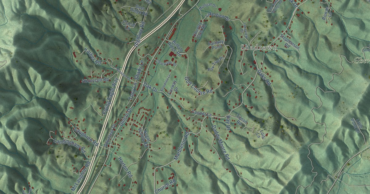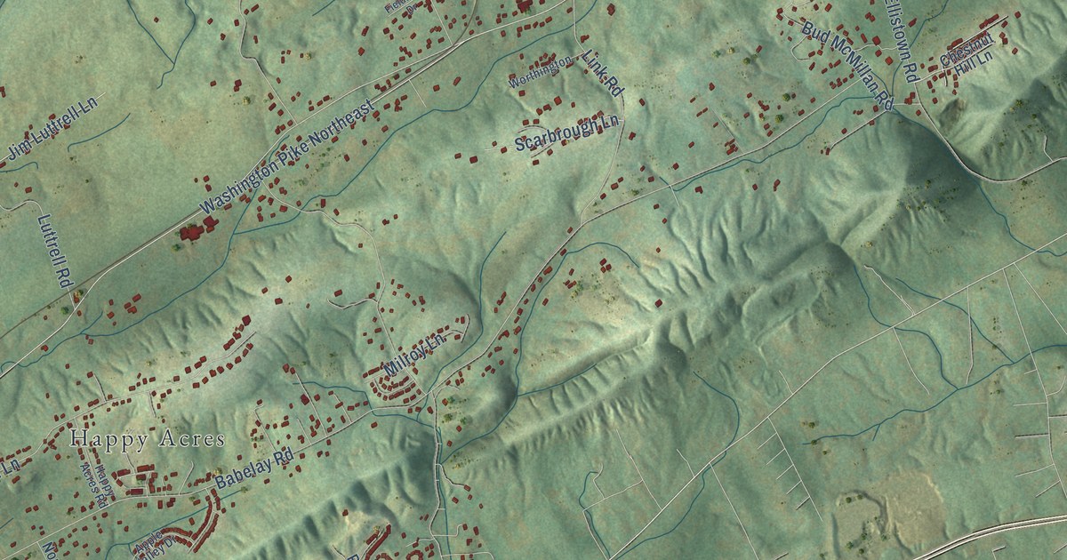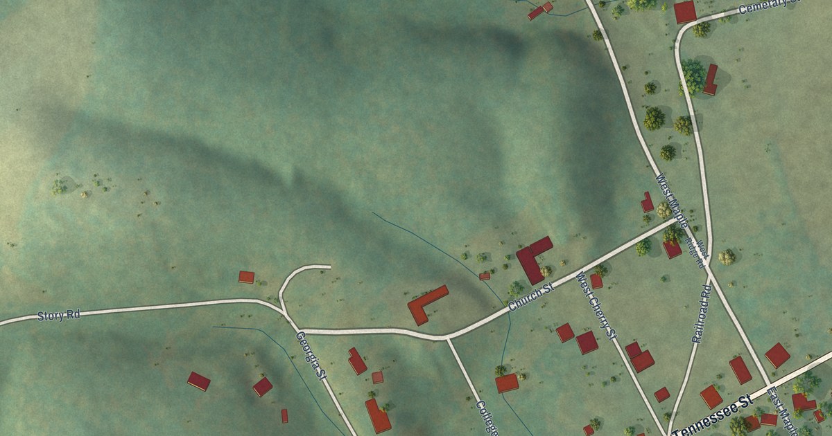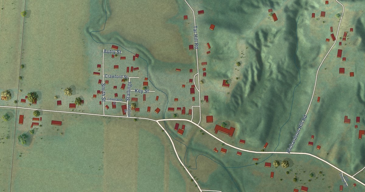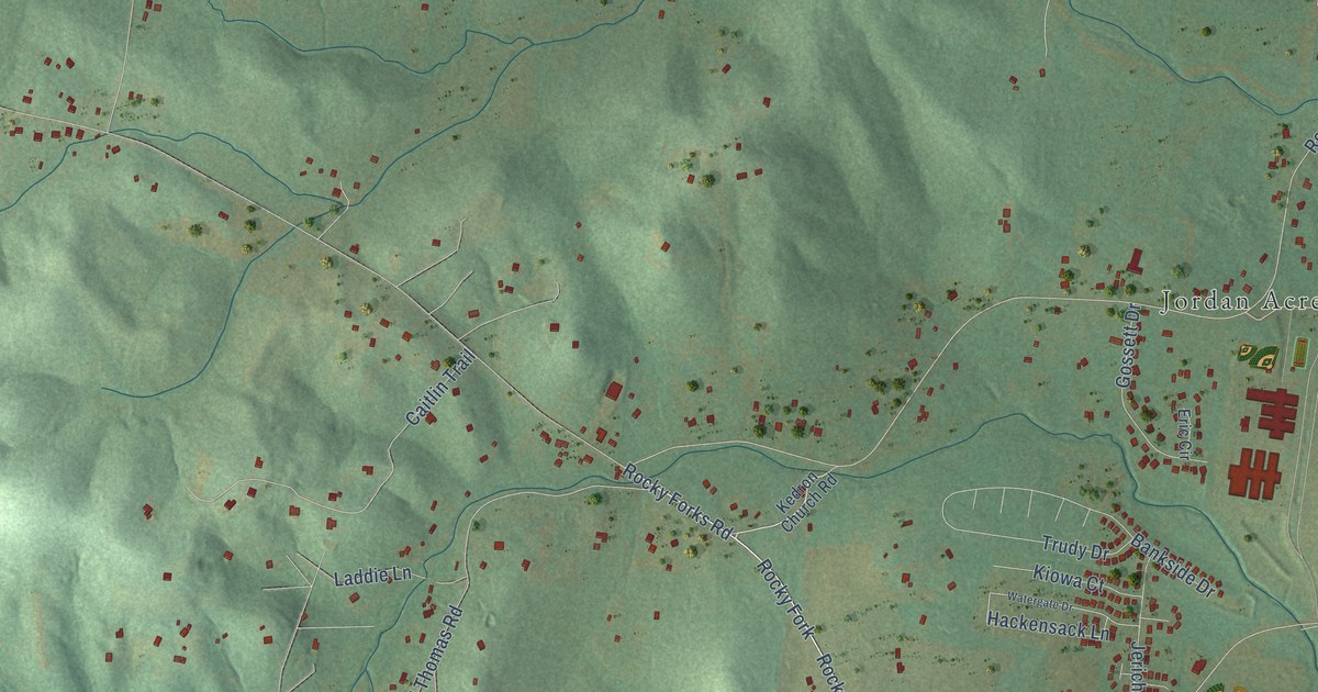
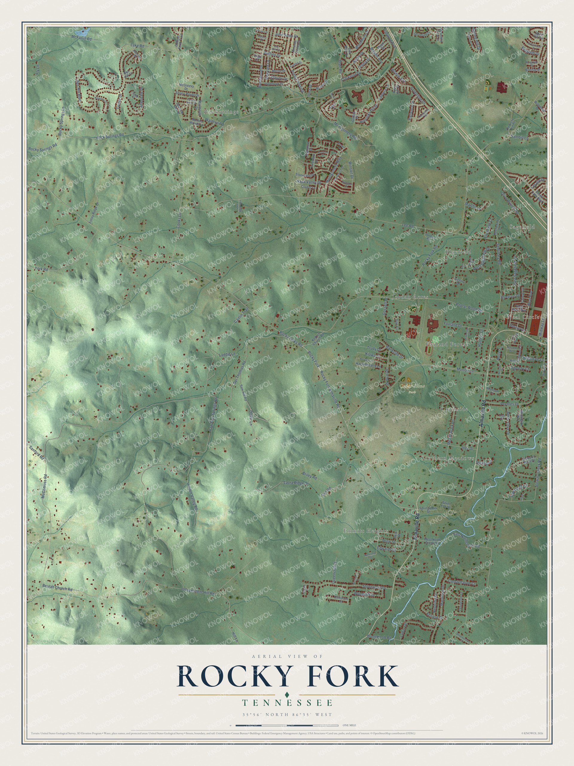
This beautifully detailed map of Rocky Fork, Tennessee was created in 2026 using aerial imagery combined with modern topographical, census, street and landmark data. It’s a one-of-a-kind view of Rocky Fork that combines accurate data with a vintage aesthetic. The map shows every building in its true location, many of the roads carry their names, and the shaded topographic relief shows the shape of the land.
Explore an aerial view of Rocky Fork, Tennessee
On the map you’ll find Sagefield, Emmitt Heights, Rocksprings, Cedar Stone Park, Southern Meadows, Jordan Acres, Bluefield, Foxland Forest, and Creekside, along with Neal Circle, Almaville Road, Morton Lane, and more. If you look closely you can even find your house accurately drawn in its correct location. Zoom in on the preview to look for yours.
Take a closer look at the Rocky Fork map
Names on this map
These names are printed on this map.
Places: Sagefield, Emmitt Heights, Rocksprings, Neal Circle, Cedar Stone Park, Southern Meadows, Jordan Acres, Bluefield, Foxland Forest and Creekside.
Streets and roads: Almaville Road, Morton Lane, Rocky Fork Almaville Road, Rocky Forks Road, Rocky Fork, Dollar Lane, Lasalle Drive, Rocky Fork Road, Rock Springs Road, Del Thomas Road, Lee Road, Stewart Creek Road.
More street names, A to Z
Addie Drive, Alden Cove Drive, Allendale Drive, Altoga Court, Amanda Susan Court, Appleby Court, Asa Court, Bankside Drive, Ben Hill Boulevard, Ben Hill Court, Beulah Church Road, Blair Road, Bluegrass Drive, Bonifay Drive, Breslin Avenue, Briley Road, Brookline Drive, Buffalo Drive, Bunker Lane, Burgundy Court, Burnt Knob Road, Burntwood Drive, Cabe Court, Caitlin Trail, Caveat Circle, Clarkston Drive, Claude Drive, Cliffstone Drive, Constellation Court, Cooks Lane, Cookstown Drive, Covent Lane, Dale Street, Dirt Road, Dobson Knob Trail, Don Blair Drive, Drew Street, East Northcreek Road, East Sagefield Drive, Easy Goer Way, Eclipse Drive, Edwards Street, Elizabeth Court, Eric Circle, Eugene Drive, Fawnfield Circle, Finley Ridge Lane, Fly Lane, Foxland Drive, Freemark Drive, Gambill Lane, Gerry Drive, Glenalden Drive, Gossett Drive, Greentree Drive, Griffith Place, Hackensack Lane, Henricks Hill Drive, Hidden Valley Road, High Echelon Circle, Highwood Boulevard, Hill Lane, Holywell Court, Hunters Lane, Idealist Court, Independent Hill Road, Inez Drive, Inglenook Drive, Iona Drive, Jennings Drive, Jericho Street, John Sams Drive, Jordan Road, Kearney Court, Kedron Church Road, Kiowa Court, Laddie Lane, Lake Road, Lamura Lane, Laura Ridge Drive, Lee Hollow Lane, Lily Ann Court, Lunar Drive, Maggie Court, Mahubah Run, Malton Drive, Manor Place, Marathon Drive, Martha Lane, Martins Woods Lane, McCanless Road, McFarlin Road, McGrath Drive, McGreevy Drive, McNairy Lane, Meadowlark Lane, Mercedes Drive, Mercer Lane, Merlot Drive, Midway Lane, Milesdale Lane, Monaco Drive, Monmouth Drive, Montgomery Road, Montgomery Way, Mountain View Court, Munson Court, Myatt Street, Napa Valley Drive, Neal Avenue, Neutrino Drive, Old Rocky Fork Road, Olive Branch Road, Orpha Drive, Paperbirch Drive, Patience Drive, Patrick Henry Drive, Paw Paw Springs Road, Peebles Drive, Point Given Way, Poplar Wood Road, Potts Crossing, Queencliff Court, Quincy Court, Rocky Springs Lane, Rocky Springs Road, Rosswood Drive, Ryan Hill Drive, Sam Hill Road, Sanford Road, Sarava Lane, Seminary Road, Seven Oaks Boulevard, Signature Court, Silver Fox Street, Sligo Court, Smotherman Court, Sparrow Gap Drive, Spirit Hill Circle, Springfield Drive, Spring Hill Drive, Springwater Street, Stewarts Bend Drive, Stonefield Drive, Stonewood Court, Stonewood Drive, Stony Point Drive, Tennerton Lane, Tranquility Trail, Trudy Drive, Turner Drive, Victory Drive, Vineyard Lane, Viola Court, Waldron Road, Watergate Drive, Wellington Way, West North Creek Road, West Sagefield Drive, Wildwood Drive, Williamsport Drive, Winchester Lane, Winslet Drive, Wisdom Way, Woodburn Drive, Woodcliff Drive, Woodland Trail, York Road.
See it on a wall
The Rocky Fork map as a framed print. Swipe for more.


This beautifully detailed map of Rocky Fork makes an attractive addition to your office, library, or den, and it can even be used to teach children the geography and history of the area. It also makes a great gift for anyone with Rocky Fork roots. When you’re done exploring, click here to get your copy of the Rocky Fork map.