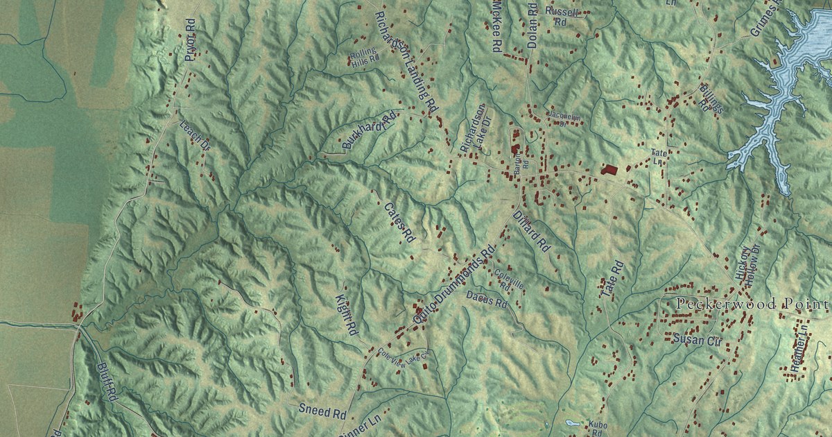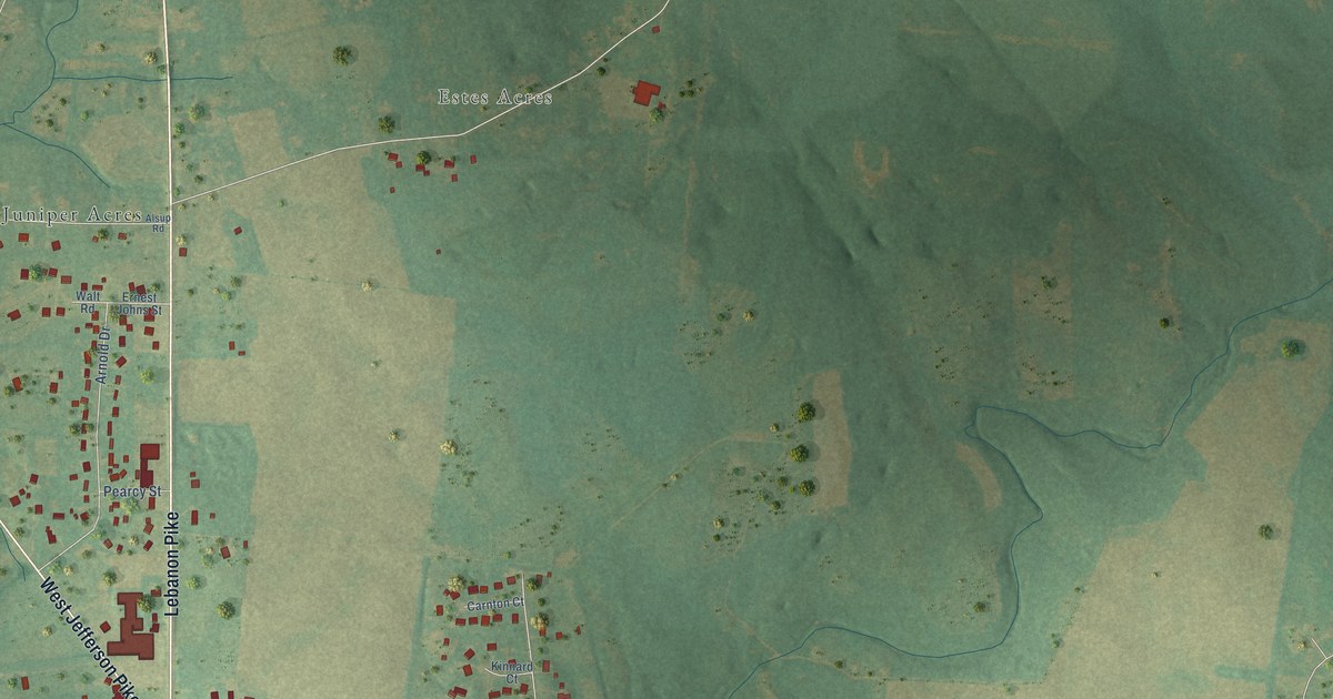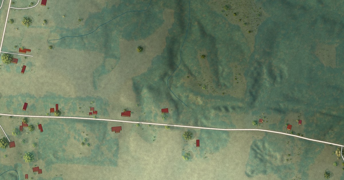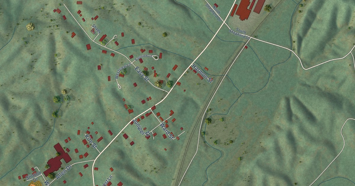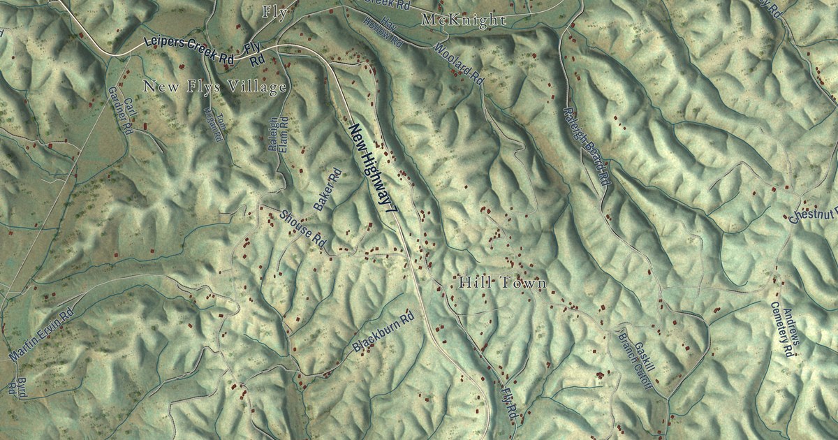
This beautifully detailed map of Santa Fe, Tennessee was created in 2026 using aerial imagery combined with modern topographical, census, street and landmark data. It’s a one-of-a-kind view of Santa Fe that combines accurate data with a vintage aesthetic. The map shows every building in its true location, many of the roads carry their names, and the shaded topographic relief shows the shape of the land.
Explore an aerial view of Santa Fe, Tennessee
On the map you’ll find McKnight, Kinderhook, Hill Town, Bethel, Fly, and New Flys Village, along with New Highway 7, Snow Creek Road, Leipers Creek Road, Raleigh Beard Road, Sutherland Road, Dutch Potts Hollow Road, and more. If you look closely you can even find your house accurately drawn in its correct location. Zoom in on the preview to look for yours.
Did You Know?
From Internet Archive: "The Santa Fe Circuit, made from taking churches from the Duck River Circuit, was established in 1847."
Santa Fe is a community in Maury County.
Take a closer look at the Santa Fe map
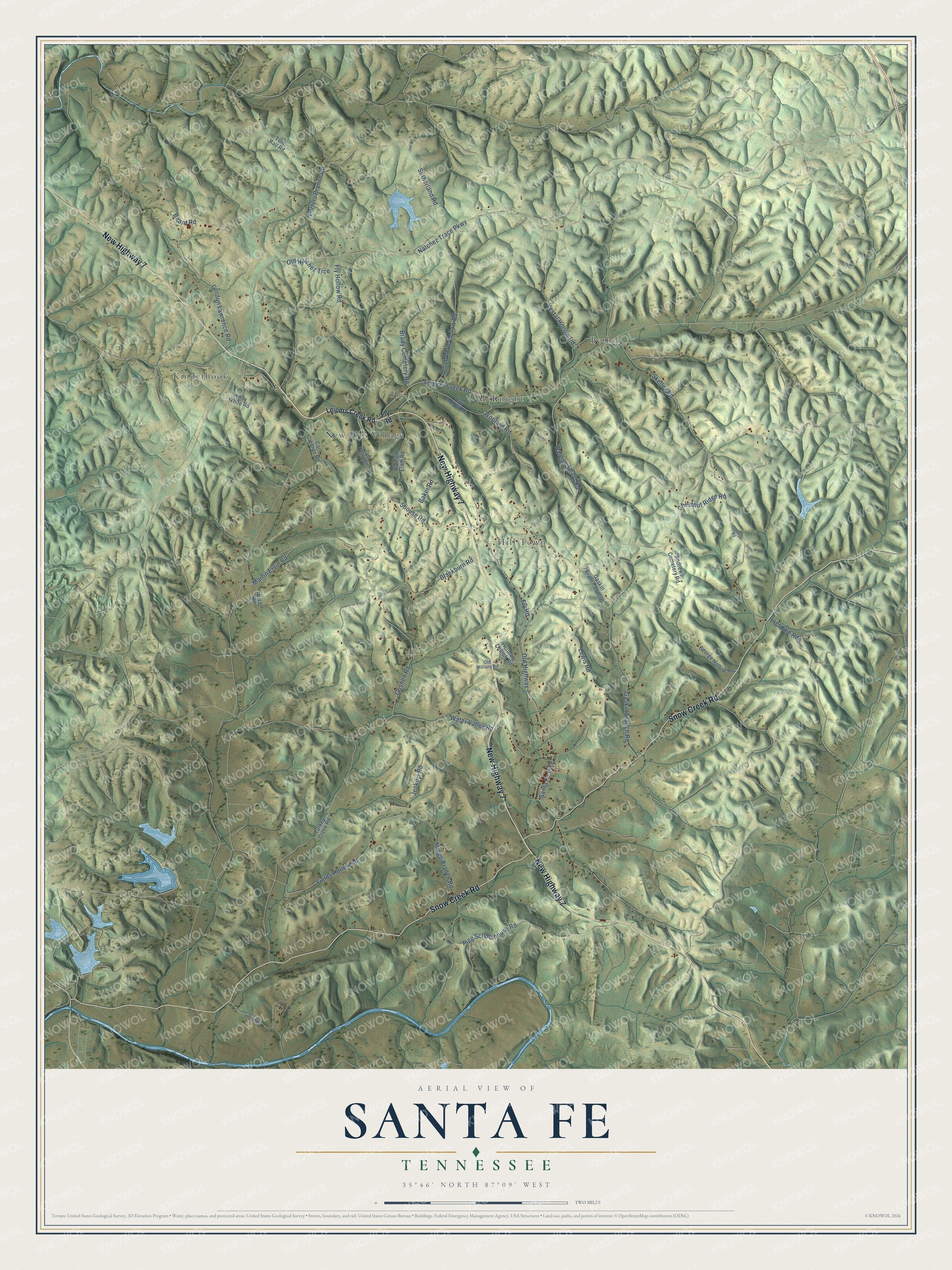
Names on this map
These names are printed on this map.
Places: McKnight, Kinderhook, Hill Town, Bethel, Fly and New Flys Village.
Streets and roads: New Highway 7, Snow Creek Road, Leipers Creek Road, Raleigh Beard Road, Sutherland Road, Dutch Potts Hollow Road, Fields Hollow Road, Old Natchez Trce, Natchez Trace Parkway, Fly Road, Old Highway 7, Chestnut Ridge Road.
More street names, A to Z
Andrews Cemetery Road, Baker Road, Beard Road, Blackburn Road, Brady Cemetery Road, Byrd Road, Carl Gardner Road, Craig Bridge Road, Fly Hollow Road, Gaskill Branch Cutoff, Gaskill Branch Road, George Hollow Road, Godwin Road, Gordon Lawrence Road, Goshen Road, Hay Hollow Road, Herman Church Road, Jenkins Road, Kirby White Road, Lewis Road, Martin Ervin Road, Mingo Branch Road, Old Military Road, Pigg Schoolhouse Road, Porters Branch Road, Ragsdale Road, Raleigh Elam Road, Santa Fe Pike, Shouse Road, Skelley Road, Tom Hogan Road, Tom Rail Road, Turkey Creek Road, Vestal Hollow Road, Water Valley Road, Woolard Road.
See it on a wall
The Santa Fe map as a framed print. Swipe for more.


This beautifully detailed map of Santa Fe makes an attractive addition to your office, library, or den, and it can even be used to teach children the geography and history of the area. It also makes a great gift for anyone with Santa Fe roots. When you’re done exploring, click here to get your copy of the Santa Fe map.