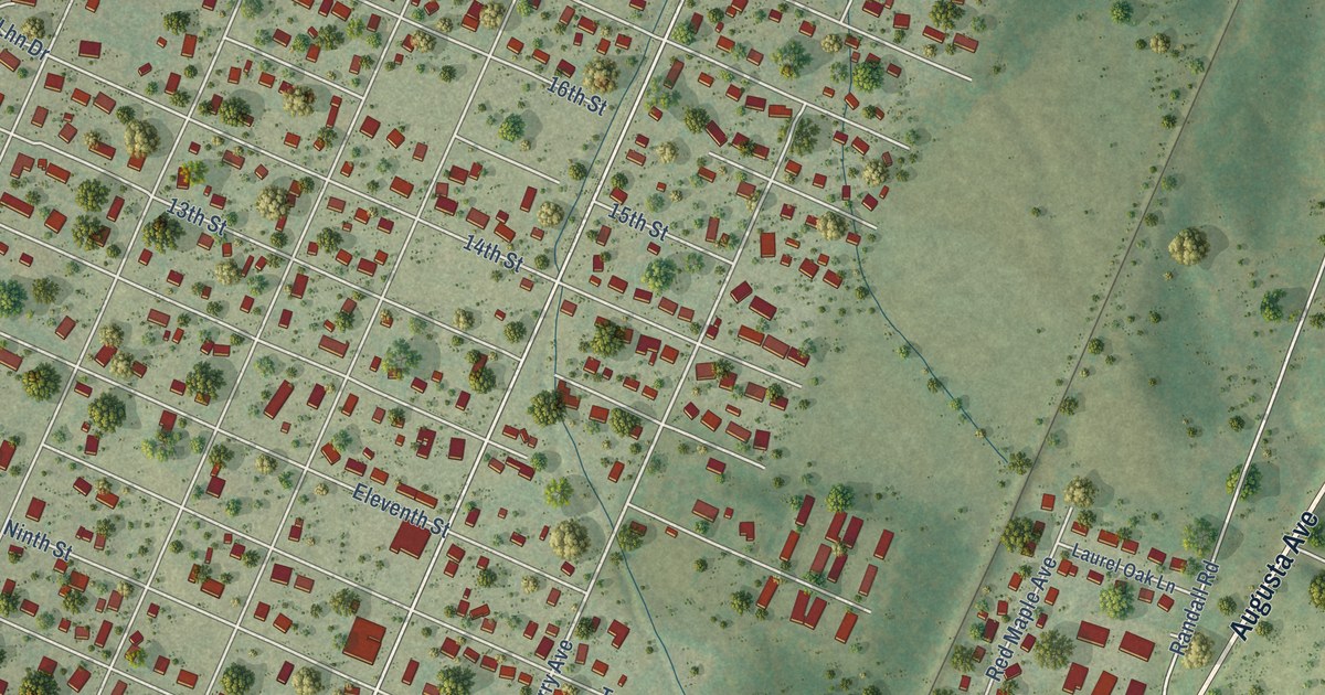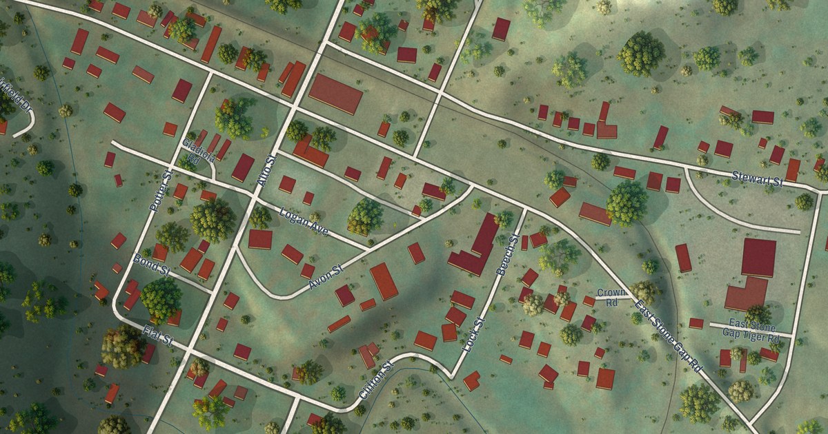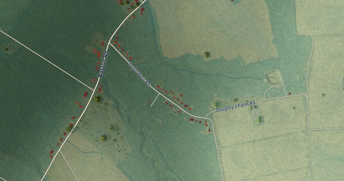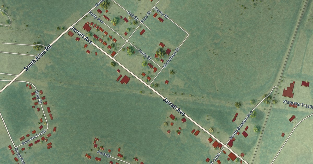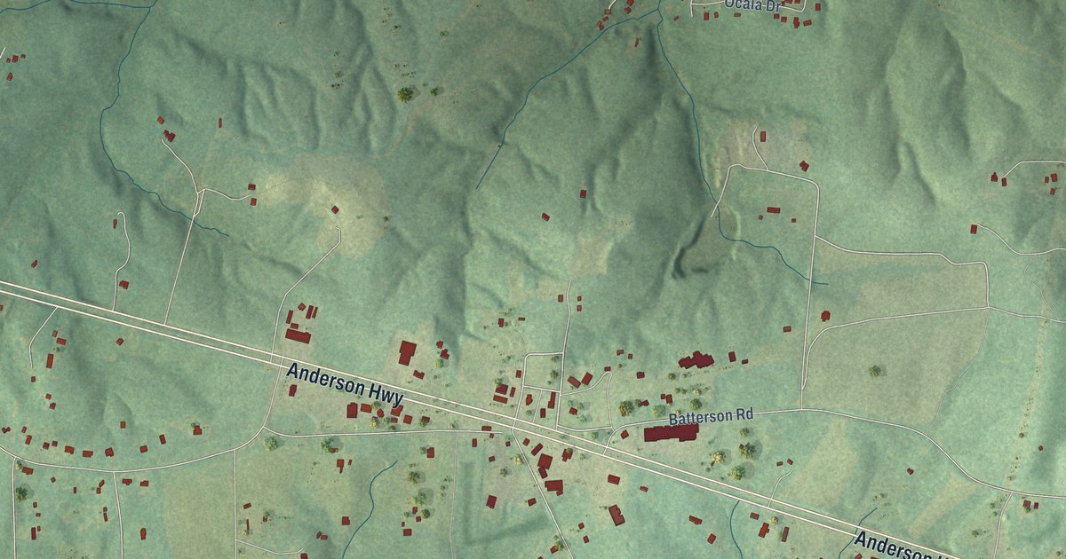
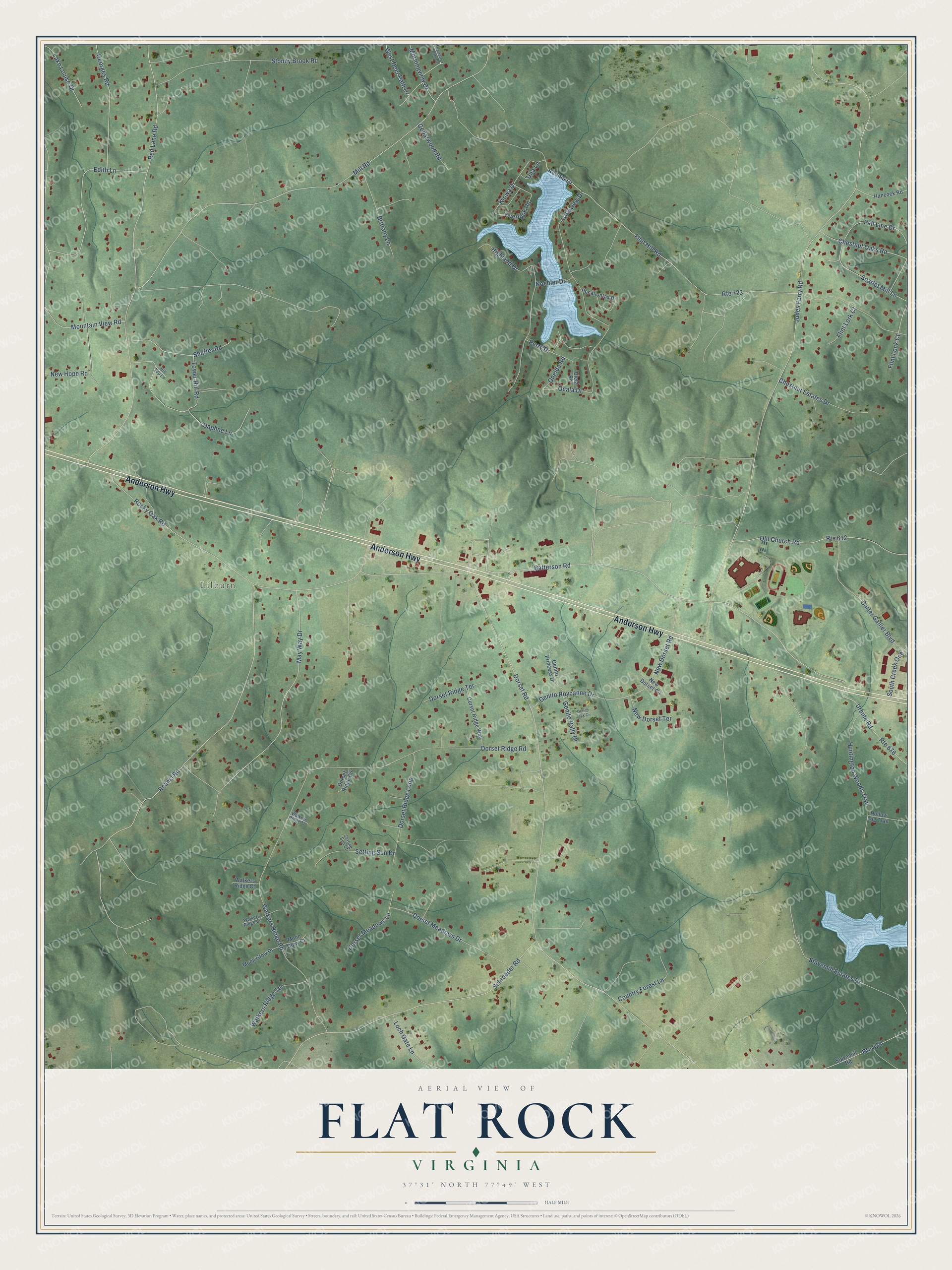
This beautifully detailed map of Flat Rock, Virginia was created in 2026 using aerial imagery combined with modern topographical, census, street and landmark data. It’s a one-of-a-kind view of Flat Rock that combines accurate data with a vintage aesthetic. The map shows every building in its true location, many of the roads carry their names, and the shaded topographic relief shows the shape of the land.
Explore an aerial view of Flat Rock, Virginia
On the map you’ll find Lilburn, along with Anderson Highway, Kiowa Drive, New Dorset Road, Acoma Drive, Judes Ferry Road, Dorset Road, Mill Road, Red Lane Road, Rocky Oak Road, Batterson Road, Reams Road, and more. If you look closely you can even find your house accurately drawn in its correct location. Zoom in on the preview to look for yours.
Did You Know?
From Internet Archive: "In the year 1862 he united with the church, was elected minister in 1867, and ordained elder at Flat Rock, Shenandoah County, in 1879."
Flat Rock is a community in Powhatan County.
Take a closer look at the Flat Rock map
Names on this map
These names are printed on this map.
Places: Lilburn.
Streets and roads: Anderson Highway, Kiowa Drive, New Dorset Road, Acoma Drive, Judes Ferry Road, Dorset Road, Mill Road, Red Lane Road, Rocky Oak Road, Batterson Road, Reams Road, Flint Hill Road.
More street names, A to Z
Brittany Lane, Carter Gallier Boulevard, Cedarwood Road, Chestnut Estates Drive, Chestnut Oaks Road, Country Forest Lane, Daphne Lane, Dorset Meadows Drive, Dorset Meadows Lane, Dorset Ridge Circle, Dorset Ridge Loop, Dorset Ridge Road, Dorset Ridge Terrace, Dorset Ridge Way, East Deer Path Drive, Edith Lane, Fall Line Drive, Flint Lock Court, Flint Lork Court, Genito Jack Circle, Genito Princess Drive, Genito Rally Drive, Genito Roycanne Drive, Georges Road, Hancock Road, Highland Drive, Hill Top Lane, Hollow Log Trail, Huntington Woods Trail, Koehler Drive, Lake Louise Drive, Lakeview Drive, Loch Gate Lane, May Way Drive, Moon Glow Court, Moon Glow Drive, Morningview Drive, Mountain View Road, New Dorset Circle, New Dorset Terrace, New Hope Road, Ocala Drive, Old Church Road, Oneida Road, Overlook Road, Perry Drive, Pocahontas Drive, Route 612, Route 634, Route 676, Route 723, Scarlet Mill Lane, Schroeder Road, Setting Sun Court, Setting Sun Drive, Shaffer Road, South Creek One, Stavemill Estates Drive, Stavemill Road, Stoney Brook Road, Tower Hill Road, Uleta Road, Una Lane, Urbine Road, Walkers Ridge Circle, Walkers Ridge Court, Walkers Ridge Road, Walkers Ridge Terrace, Walkers Ridge Tn, West Deer Path Drive.
See it on a wall
The Flat Rock map as a framed print. Swipe for more.


This beautifully detailed map of Flat Rock makes an attractive addition to your office, library, or den, and it can even be used to teach children the geography and history of the area. It also makes a great gift for someone who left Flat Rock and still calls it home. When you’re done exploring, click here to get your copy of the Flat Rock map.