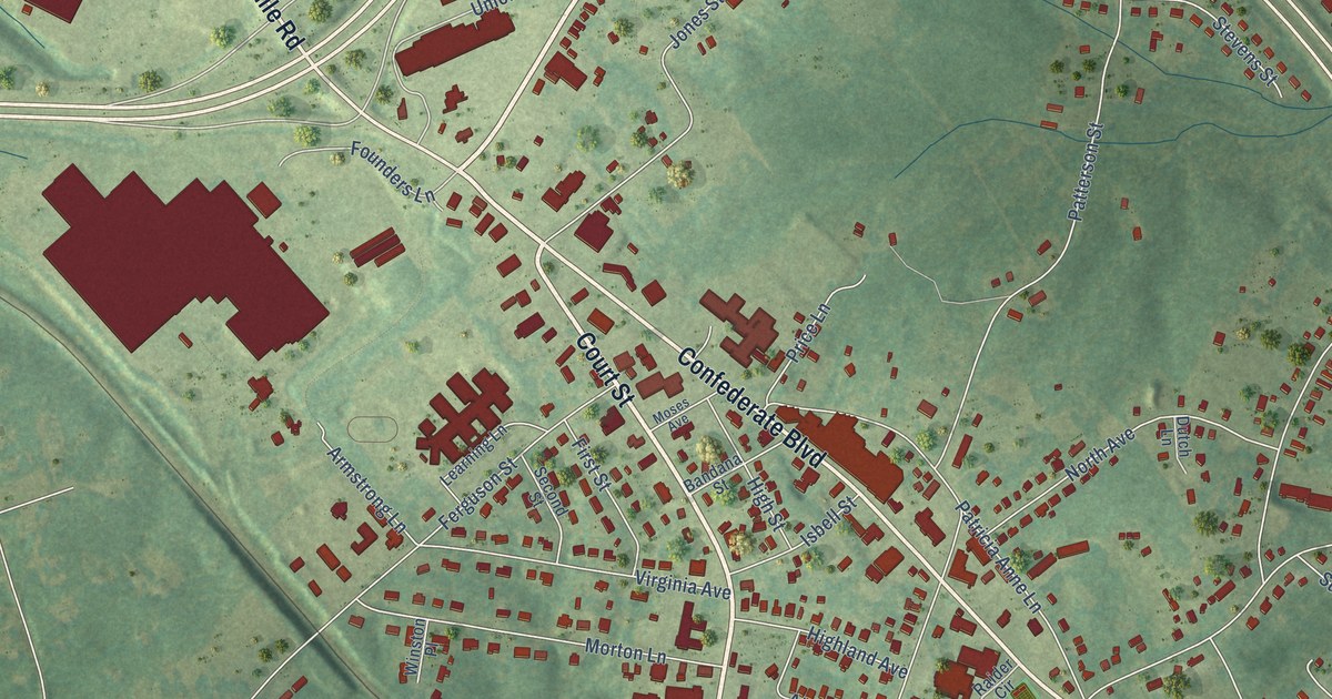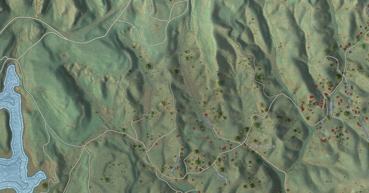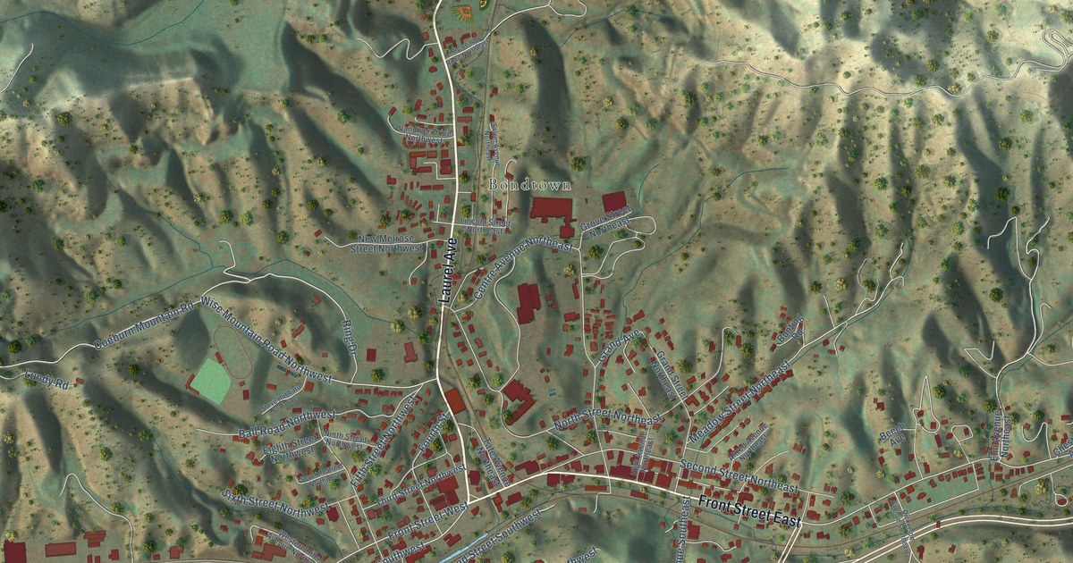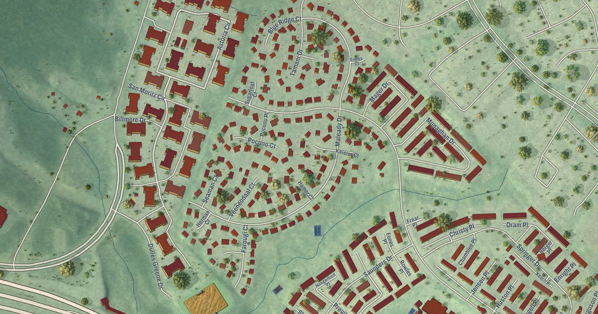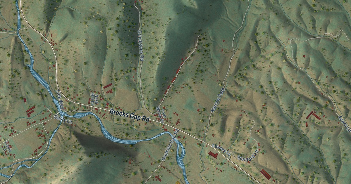
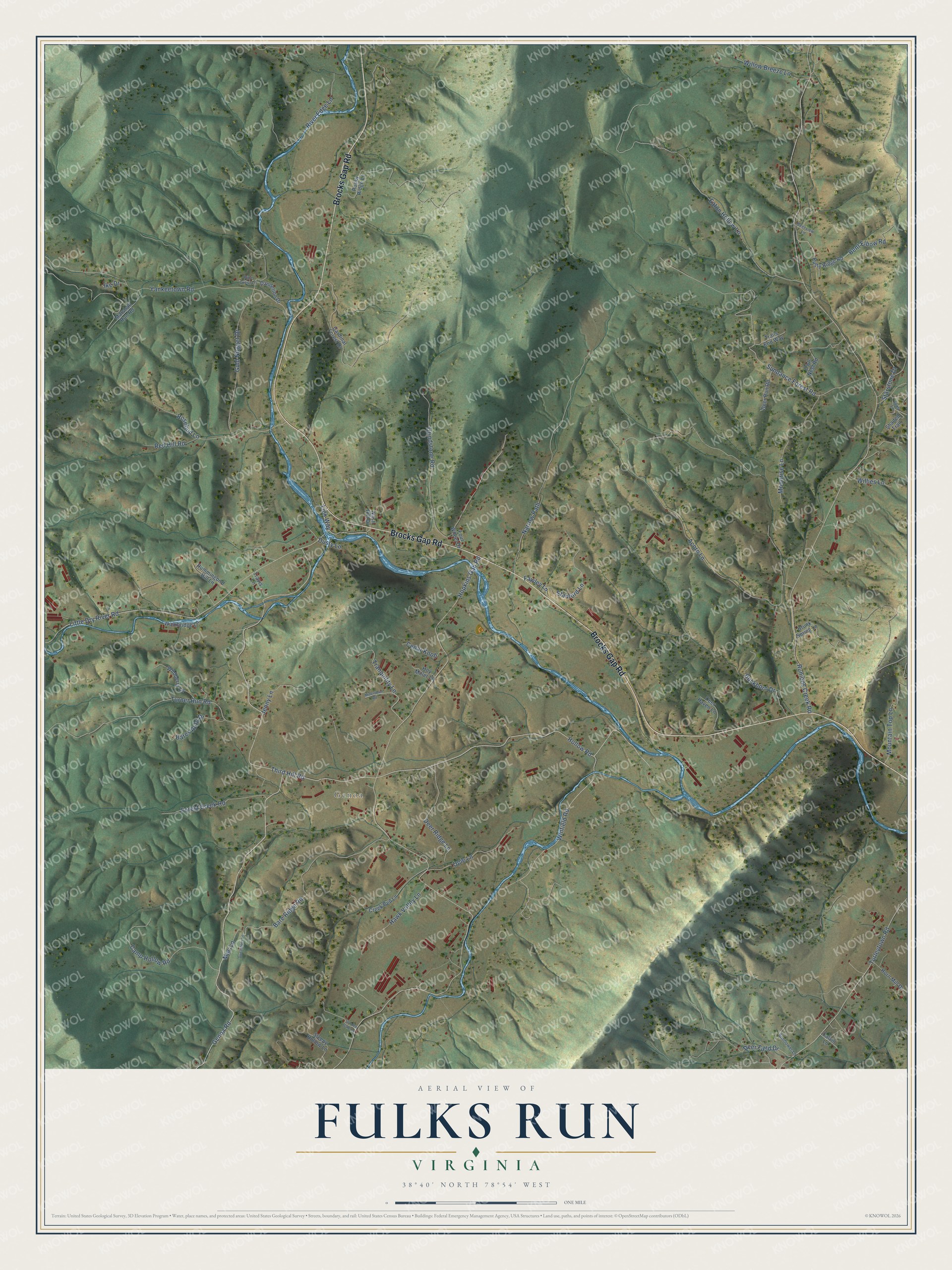
This beautifully detailed map of Fulks Run, Virginia was created in 2026 using aerial imagery combined with modern topographical, census, street and landmark data. It’s a one-of-a-kind view of Fulks Run that combines accurate data with a vintage aesthetic. The map shows every building in its true location, many of the roads carry their names, and the shaded topographic relief shows the shape of the land.
Explore an aerial view of Fulks Run, Virginia
On the map you’ll find Genoa, along with Brocks Gap Road, Genoa Road, Bare Ridge Road, Bent Elbow Road, Winfield Road, Runions Creek Road, Hopkins Gap Road, Acorn Lane, Third Hill Road, Little Dry River Road, Eaton Hollow Lane, and more. If you look closely you can even find your house accurately drawn in its correct location. Zoom in on the preview to look for yours.
Take a closer look at the Fulks Run map
Names on this map
These names are printed on this map.
Places: Genoa.
Streets and roads: Brocks Gap Road, Genoa Road, Bare Ridge Road, Bent Elbow Road, Winfield Road, Runions Creek Road, Hopkins Gap Road, Acorn Lane, Third Hill Road, Little Dry River Road, Eaton Hollow Lane, Sundance Forest Road.
More street names, A to Z
Bares Auto Drive, Brunk Spring Lane, Buckhorn Drive, Calvin Lane, Camp Hollow Road, Cardinal Forest Drive, Cedar Knob, Creek Bed Lane, Dandelion Drive, Deer Field Drive, Deer Haven Lane, Deer Ridge Lane, Deer Run Road, Deerview Lane, Donaldson Lane, Dusty Lane, Fawley Lane, Forest Creek Road, Four Wheel Drive, Garden Gate Lane, Gold Nugget Drive, Grindstone Road, Hawk Valley Lane, Hollow Road, Horn Mill Drive, Hoy Miller Lane, Hummingbird Hill Lane, Idas Lane, Ike Drive, Jenny Lane, Link Way, Mac Lane, Marshall Run Road, Millertown Road, Moonrise Lane, Mountain Top Lane, Narrow Path, Nash Hill Drive, Opie Lane, Owls Nest Road, Pine Crest Lane, Red Hill Road, River Edge Lane, Rocky Ridge Lane, Rosebud Lane, Rusty Ridge Road, Shaded Trail, Sleepy Hollow Lane, Stanford Lane, Starstone Drive, Sunflower Lane, Trails End Way, Tranquility Lane, Travis Lane, Turleytown Road, Turner Run Road, Walkbridge Lane, Wildberry Lane, Willies Lane, Willow Breeze Lane, Yankeetown Road.
See it on a wall
The Fulks Run map as a framed print. Swipe for more.


This beautifully detailed map of Fulks Run makes an attractive addition to your office, library, or den, and it can even be used to teach children the geography and history of the area. It also makes a great gift for anyone who grew up in Fulks Run or moved away. When you’re done exploring, click here to get your copy of the Fulks Run map.