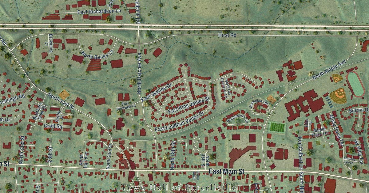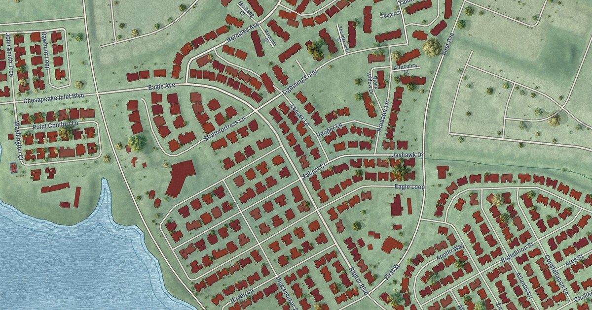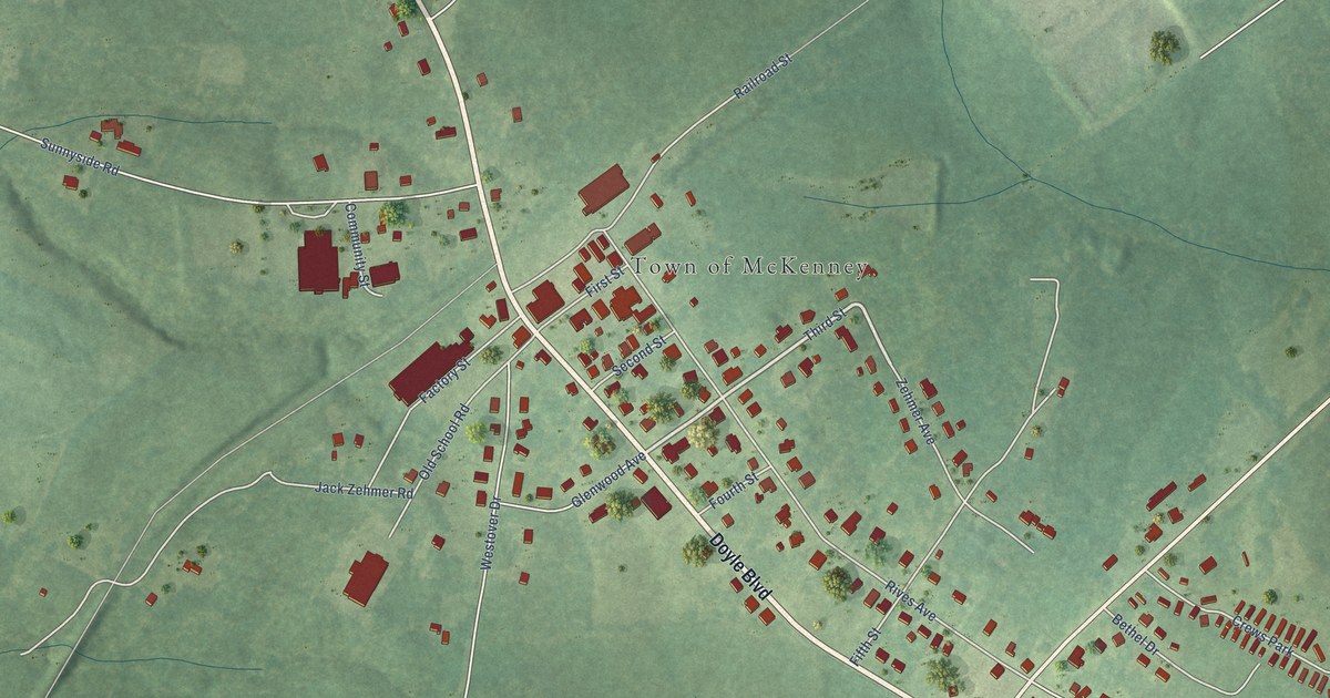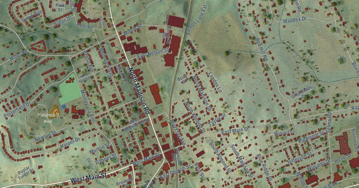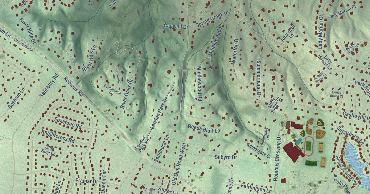
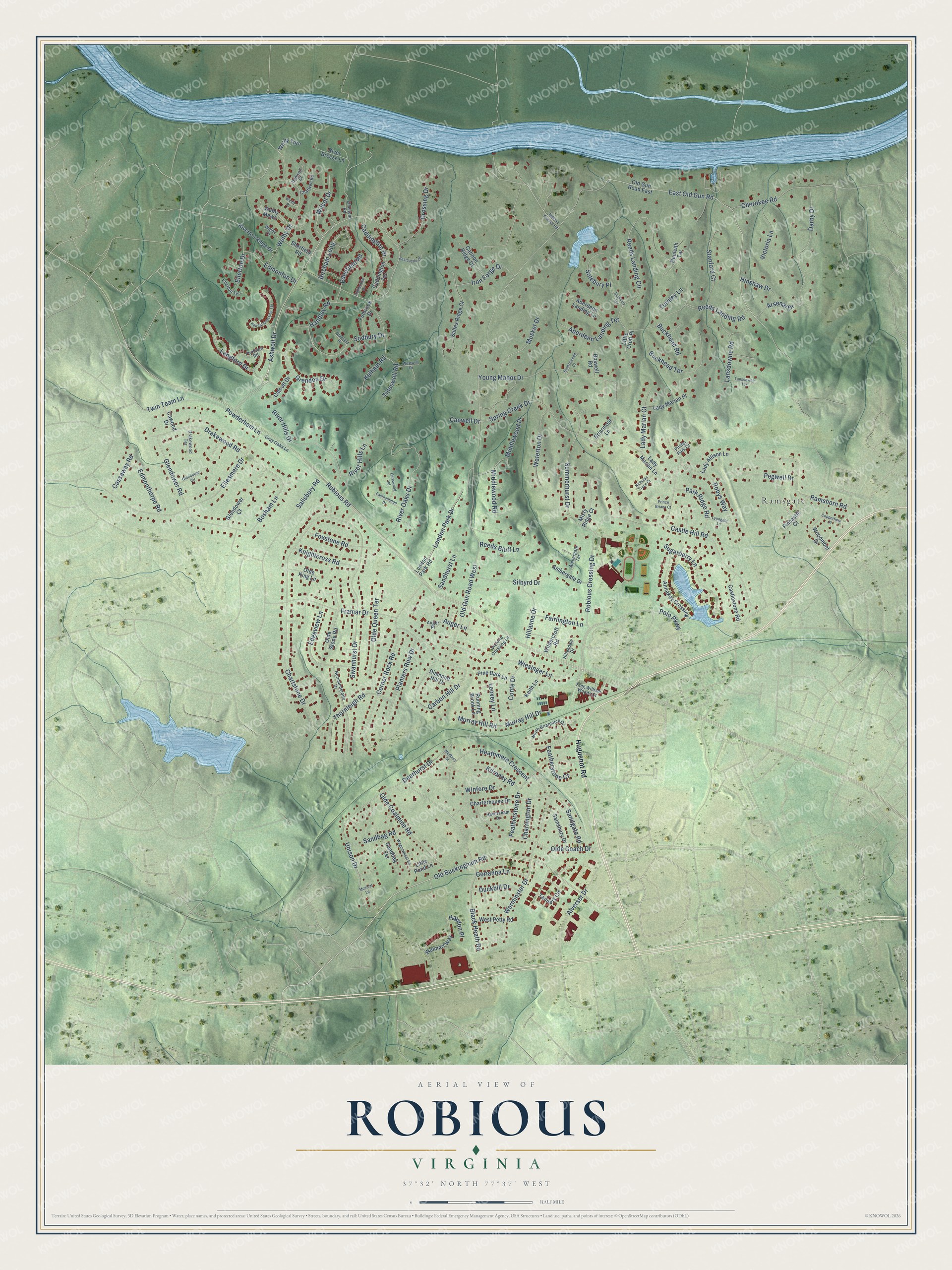
This beautifully detailed map of Robious, Virginia was created in 2026 using aerial imagery combined with modern topographical, census, street and landmark data. It’s a one-of-a-kind view of Robious that combines accurate data with a vintage aesthetic. The map shows every building in its true location, many of the roads carry their names, and the shaded topographic relief shows the shape of the land.
Explore an aerial view of Robious, Virginia
On the map you’ll find Ramsgate, along with Ashwell Drive, Old Buckingham Road, Robious Crossing Drive, Polo Parkway, East Old Gun Road, Welby Drive, Robious Road, Old Gun Road West, Reeds Landing Circle, Chartstone Drive, Framar Drive, and more. If you look closely you can even find your house accurately drawn in its correct location. Zoom in on the preview to look for yours.
Take a closer look at the Robious map
Names on this map
These names are printed on this map.
Places: Ramsgate.
Streets and roads: Ashwell Drive, Old Buckingham Road, Robious Crossing Drive, Polo Parkway, East Old Gun Road, Welby Drive, Robious Road, Old Gun Road West, Reeds Landing Circle, Chartstone Drive, Framar Drive, Ellesmere Drive.
More street names, A to Z
Aberdeen Landing Lane, Aberdeen Landing Terrace, Alverser Drive, Ambergate Drive, Ambergate Terrace, Annakay Crossing, Arsenal Drive, Auger Lane, Auger Place, Bellona Arsenal Road, Bircham Loop, Black Heath Road, Bosham Lane, Boswell Road, Brayfield Place, Breezewood Court, Briarmoor Lane, Buckhead Road, Buckhead Terrace, Caddington Drive, Caddington Terrace, Calcutt Drive, Cannon Ridge Court, Capwell Drive, Carbon Hill Drive, Cassaway Road, Castle Hill Road, Castlestone Road, Cawood Drive, Charrington Drive, Charterhouse Drive, Chatwell Road, Cherokee Road, Conte Drive, Copperfield Place, Corianna Lane, Corner Rock Road, Crossing Drive, Darby Drive, Deerhurst Drive, Diamond Hill Drive, Drakewood Road, Drakewood Terrace, Duckbill Drive, Dunleith Terrace, Earlswood Road, Eastcastle Court, Easthampton Drive, Edenfield Road, Edgeview Lane, Edmonthorpe Road, Edmonton Drive, Ellerton Drive, Ellerton Terrace, Elmstone Road, Fairlington Lane, Featherstone Court, Featherstone Drive, Fincastle Court, Foxstone Road, Fulbrook Drive, Glendower Circle, Glendower Court, Glendower Road, Gray Oaks Lane, Grendon Drive, Handley Road, Hanwell Court, Haversham Drive, Haydon Place, Heathmere Crescent, Highbridge Drive, Hillandale Drive, Hillanne Drive, Hinshaw Drive, Huguenot Road, Iron Forge Drive, Keith Lane, Kelham Road, Kendal Crossing Terrace, Kilrenny Road, King William Woods Court, Knightcross Road, Lady Allison Lane, Lady Marian Court, Lady Marian Lane, Lady Marian Place, Langford Drive, Lansdowne Road, Lansdowne Terrace, Leovey Lane, Little Croft Place, Little Pond Lane, London Park Drive, London Park Road, Lynngate Lane, Medbury Drive, Middlewood Place, Middlewood Road, Misty Ridge Court, Murray Hill Drive, Murray Hill Road, Musical Lane, Musket Drive, Nicholas Trace Court, Normandstone Drive, North Briarpatch Drive, Olde Coach Drive, Olde Coalmine Road, Olde King Lane, Olde Queen Terrace, Olde Stone Road, Old Gun Road East, Park Ridge Road, Pegwell Drive, Penhurst Road, Pine Bark Lane, Pinifer Park Court, Planters Row Drive, Powderham Lane, Prince Brians Court, Ramshorn Road, Reeds Bluff Lane, Reeds Landing Road, River Breeze Lane, River Hills Drive, River Hills Lane, River Oaks Drive, Riverton Ridge Drive, Robys Way, Running Brook Lane, Sainsbury Drive, Salisbury Road, Salles Ridge Court, Sandbag Road, Sandbag Terrace, Sandgate Road, Sandhurst Lane, Sherfield Road, Silbyrd Drive, Sodbury Drive, Solebury Place, Solebury Terrace, Spring Creek Drive, Stanford Court, Sugarberry Lane, Summerhurst Drive, Swanhurst Drive, Tannery Circle, Thornleigh Road, Tideswell Road, Turnley Lane, Twin Team Lane, Unison Drive, Victoria Crossing Lane, Victoria Lane, Wagonwheel Road, Walmart Way, Warminster Drive, Waterton Drive, Welby Court, Welby Mews, Welby Place, Welby Turn, West Petty Road, Westwell Drive, Wiesinger Lane, Wilcot Drive, Wildercroft Road, Winfore Drive, Woodmont Drive, Young Manor Drive.
See it on a wall
The Robious map as a framed print. Swipe for more.


This beautifully detailed map of Robious makes an attractive addition to your office, library, or den, and it can even be used to teach children the geography and history of the area. It also makes a great gift for someone who left Robious and still calls it home. When you’re done exploring, click here to get your copy of the Robious map.