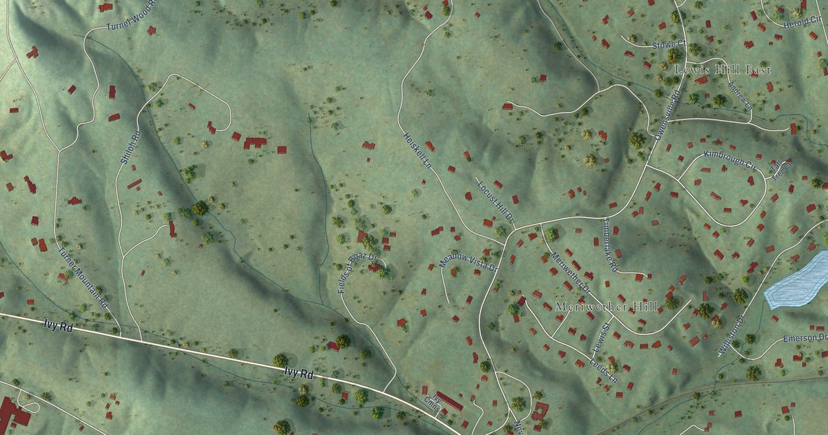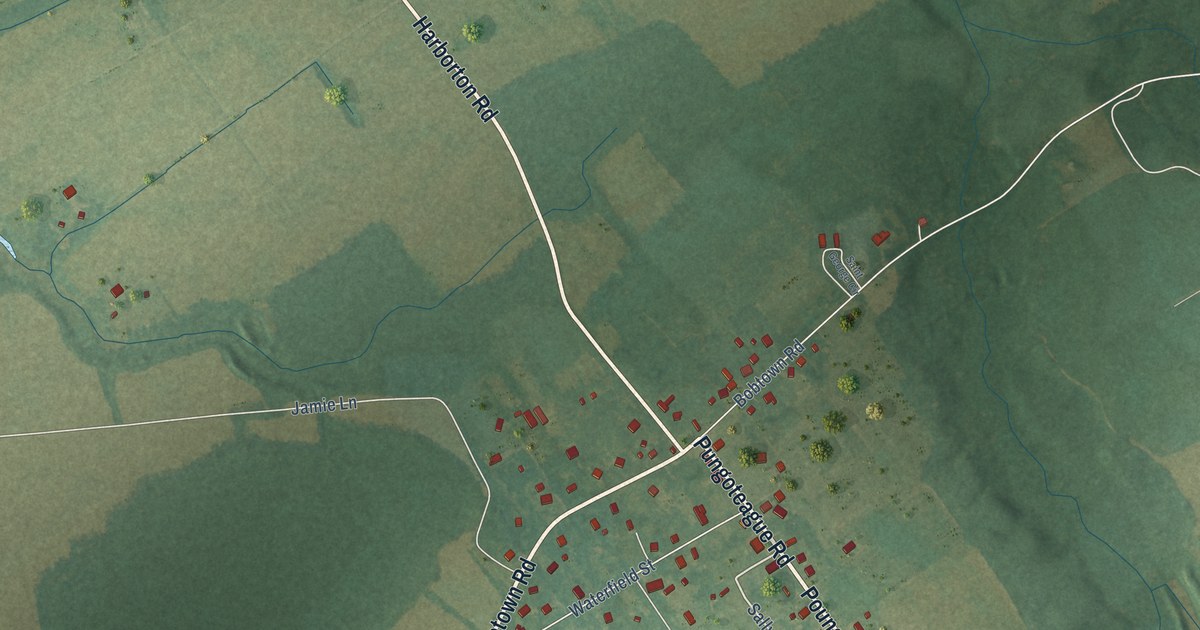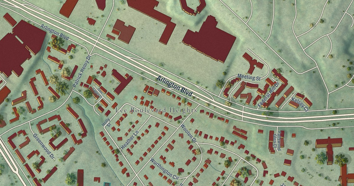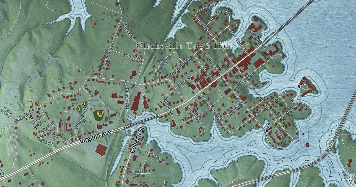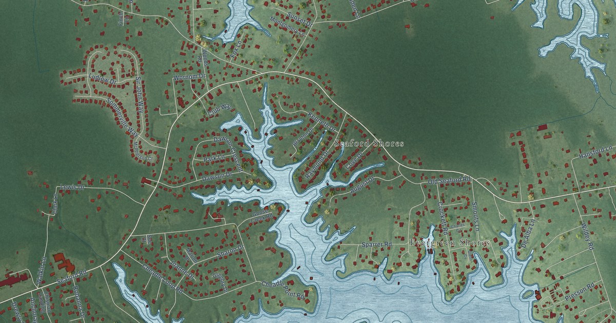
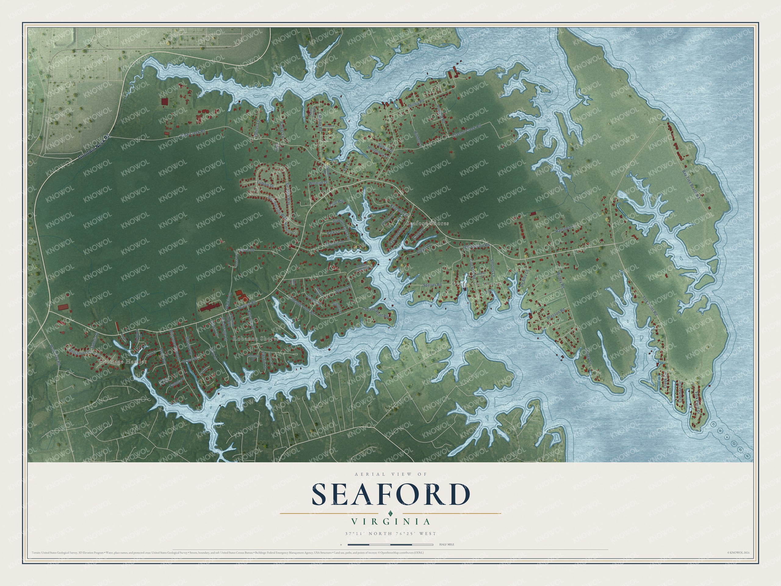
This beautifully detailed map of Seaford, Virginia was created in 2026 using aerial imagery combined with modern topographical, census, street and landmark data. It’s a one-of-a-kind view of Seaford that combines accurate data with a vintage aesthetic. The map shows every building in its true location, many of the roads carry their names, and the shaded topographic relief shows the shape of the land.
Explore an aerial view of Seaford, Virginia
On the map you’ll find Heritage Hamlet, Seaford Shores, Robanna Shores, and Evergreen Shores, along with Goodwin Neck Road, York Point Road, Seaford Road, Back Creek Road, Bay Tree Beach Road, Cheadle Loop Road, Claxton Creek Road, Wildey Road, and more. If you look closely you can even find your house accurately drawn in its correct location. Zoom in on the preview to look for yours.
Did You Know?
From Internet Archive: "R. runs S. from Harrington across Mispillion Hundred by the fruit-raising hamlets of Greenwood and Bridgeville (Paris Hotel), a centre of the peach and berry trade, and reaches Seaford (Union Hotel), a large village on the Nanticoke River, whence considerable coasting-trade is carried on, partly by means of small steamers."
Seaford is a community in York County.
Take a closer look at the Seaford map
Names on this map
These names are printed on this map.
Places: Heritage Hamlet, Seaford Shores, Robanna Shores and Evergreen Shores.
Streets and roads: Goodwin Neck Road, York Point Road, Seaford Road, Back Creek Road, Bay Tree Beach Road, Cheadle Loop Road, Claxton Creek Road, Wildey Road, Shirley Road, Sparrer Road, Robanna Drive, Winsome Haven Drive.
More street names, A to Z
Anchorage Lane, August Drive, Benjamins Court, Blanton Drive, Carolyn Crescent, Charles Circle, Cheadle Point Road, Chisman Circle, Chisman Landing, Clark Lane, Club Way, Cove Drive, Creek Circle, Crockett Road, Dawson Crescent, Dawson Drive, De Alba Lane, Drewry Lane, Earl Street, Elksnin Lane, Ellerson Court, Finch Lane, Fox Lane, Glenn Cv, Goose Creek Road, Grace Street, Gregory Drive, Hansford Court, Hansford Lane, Harbor Crescent, Hidden Lane, Ira Drive, Joanne Drive, Kenneth Drive, Landing Road, Levy Lane, Lewis Drive, Ludlow Drive, Marion Drive, Mastin Avenue, McPherson Court, Montgomery Lane, Moss Avenue, Old Seaford Road, Pamela Place, Parker Lane, Park Lane, Presson Road, Purgold Road, Putnam Drive, Raymond Drive, Rebecca Drive, Sadelia Drive, Sharon Drive, Sir John Way, Smoots Lane, Sommerville Way, Spivey Lane, Sue Court, Sunset Drive, Thomas Road, Vista Drive, Walkin Lane, Whites Lane, Wolf Trap Road, Woods Road, Wornom Drive, York Point Drive.
See it on a wall
The Seaford map as a framed print. Swipe for more.


This beautifully detailed map of Seaford makes an attractive addition to your office, library, or den, and it can even be used to teach children the geography and history of the area. It also makes a great gift for anyone with Seaford roots. When you’re done exploring, click here to get your copy of the Seaford map.