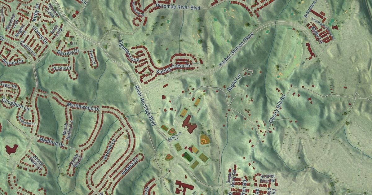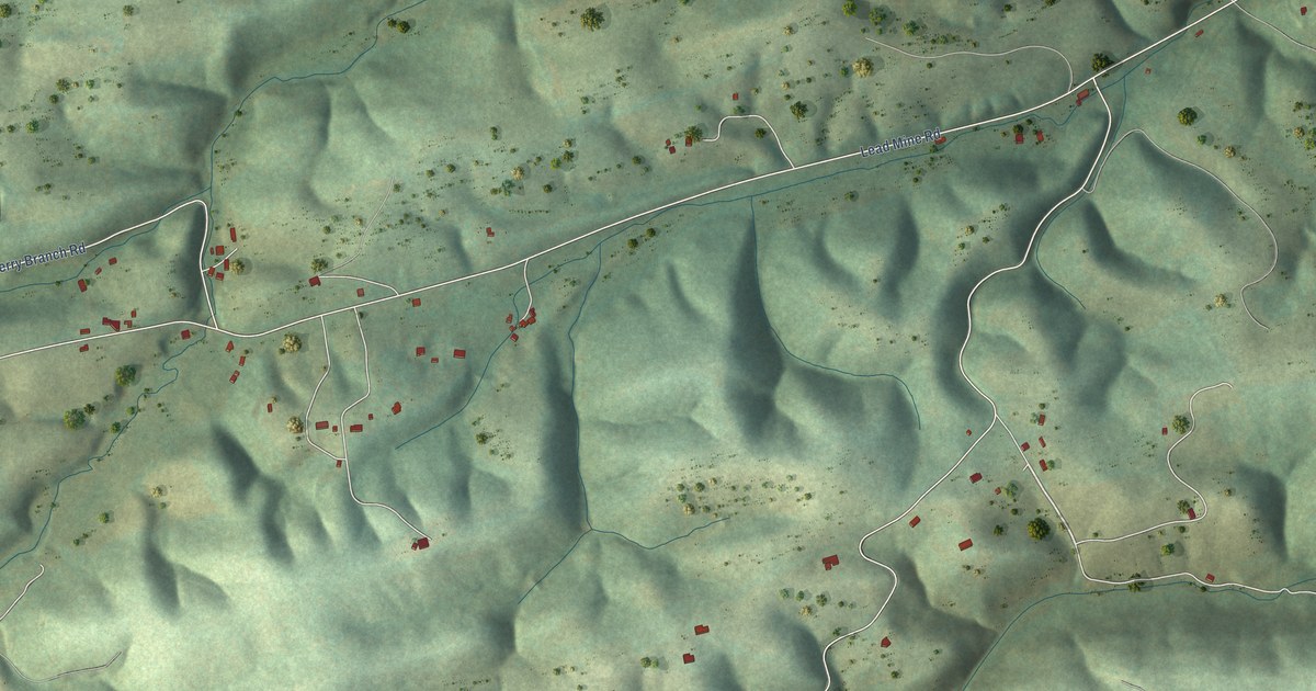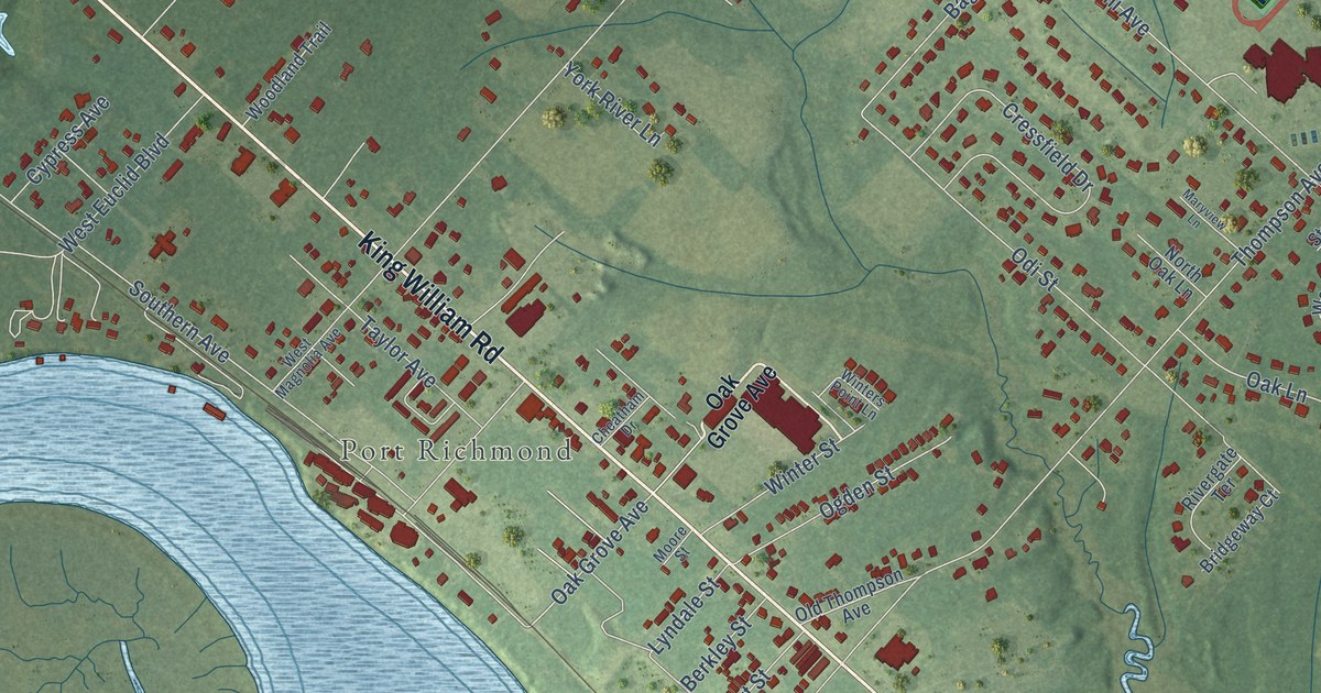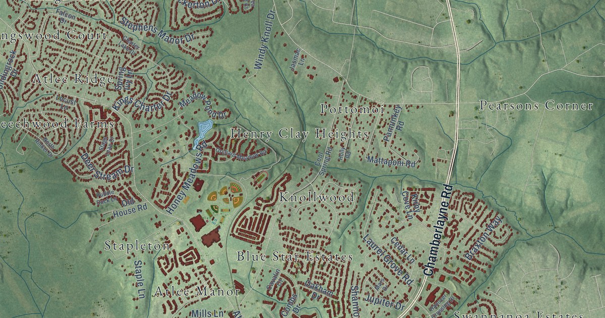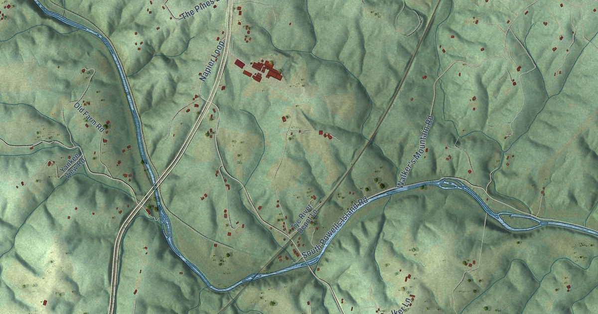
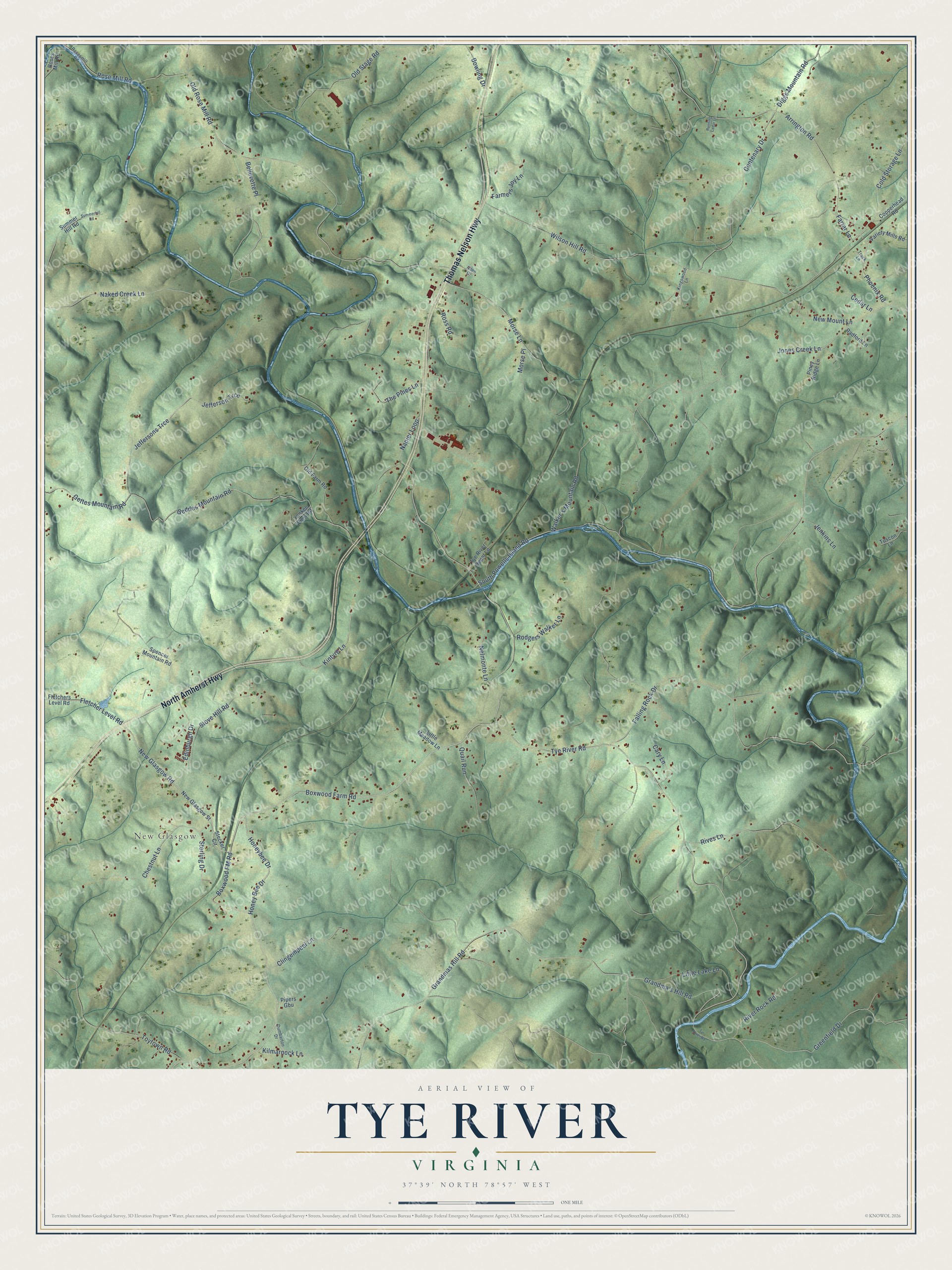
This beautifully detailed map of Tye River, Virginia was created in 2026 using aerial imagery combined with modern topographical, census, street and landmark data. It’s a one-of-a-kind view of Tye River that combines accurate data with a vintage aesthetic. The map shows every building in its true location, many of the roads carry their names, and the shaded topographic relief shows the shape of the land.
Explore an aerial view of Tye River, Virginia
On the map you’ll find New Glasgow, along with Thomas Nelson Highway, North Amherst Highway, Boxwood FM Road, New Glasgow Road, Boxwood Farm Road, Fletcher Level Road, Tye River Road, Honeybee Drive, Napier Loop, Rose Mill Road, Geddes Mountain Road, and more. If you look closely you can even find your house accurately drawn in its correct location. Zoom in on the preview to look for yours.
Did You Know?
From Internet Archive: "There are ten flouring mills, the Tye River woollen mill and three tanneries."
Tye River is a community in Nelson County.
Take a closer look at the Tye River map
Names on this map
These names are printed on this map.
Places: New Glasgow.
Streets and roads: Thomas Nelson Highway, North Amherst Highway, Boxwood FM Road, New Glasgow Road, Boxwood Farm Road, Fletcher Level Road, Tye River Road, Honeybee Drive, Napier Loop, Rose Mill Road, Geddes Mountain Road, Jeffersons Trce.
More street names, A to Z
Allen Drive, Arrington Road, Bellevette Place, Bowling Drive, Cary Lane, Cedar Lane, Centenary Drive, Chestnut Lane, Clingempeel Lane, Cold Storage Lane, Copperhead Road, Diggs Mountain Road, Dumbarton Drive, Edinburgh Drive, Falling Rock Drive, Farmers Joy Lane, Farrar Lane, Fletchers Level Road, Gettes Mountain Road, Grandma's Hill Road, Grandmas Hill Road, Greenfield Drive, Honey Bee Drive, Jefferson Trce, Jenkins Lane, Jones Creek Lane, Kilmarnock Lane, Kingswood Lane, Kintyre Lane, Little Lake Lane, Little Meadow Lane, Morse Lane, Morse Place, Naked Creek Lane, Nelmonte Lane, New Glasgow Street, New Mount Lane, Old Farm Road, Old Rose Mill Road, Old Stage Road, Phoenix Road, Piney Ridge Lane, Pipers Gbu, Quail Run, Radford Lane, River Rock Road, Rives Lane, Rodgers Walker Lane, Roses Mill Road, Rosesmill Road, Ross Road, Running Cedar Lane, South Powells Island Road, Spencer Mountain Road, Stecker Circle, Sterling Drive, Stove Hill Road, Summer Hill Road, Summerhill Road, The Pines Lane, Toytown Road, Track Lane, Tuscon Lane, Tye River Depot Lane, Tyr River Road, Variety Mills Road, Walker's Mountain Road, Wilson Hill Road, Yankee View Road.
See it on a wall
The Tye River map as a framed print. Swipe for more.


This beautifully detailed map of Tye River makes an attractive addition to your office, library, or den, and it can even be used to teach children the geography and history of the area. It also makes a great gift for anyone with Tye River roots. When you’re done exploring, click here to get your copy of the Tye River map.