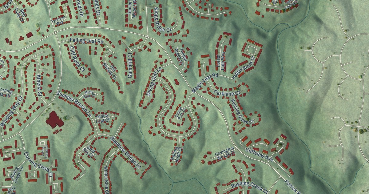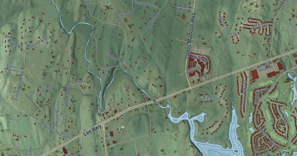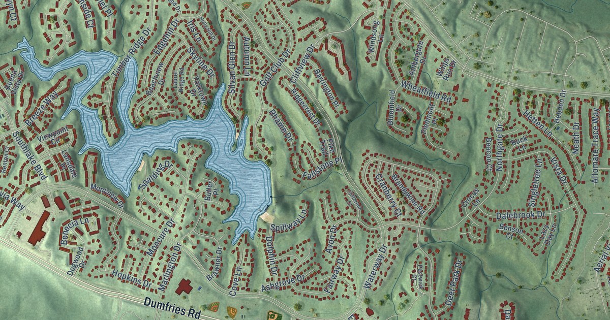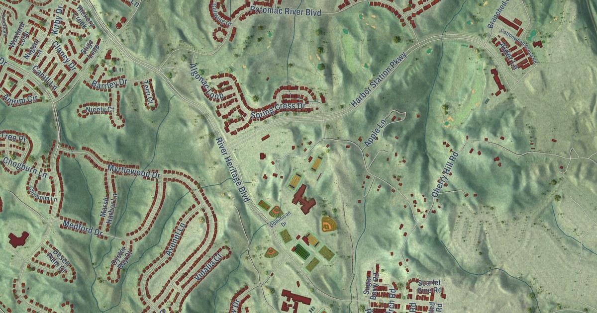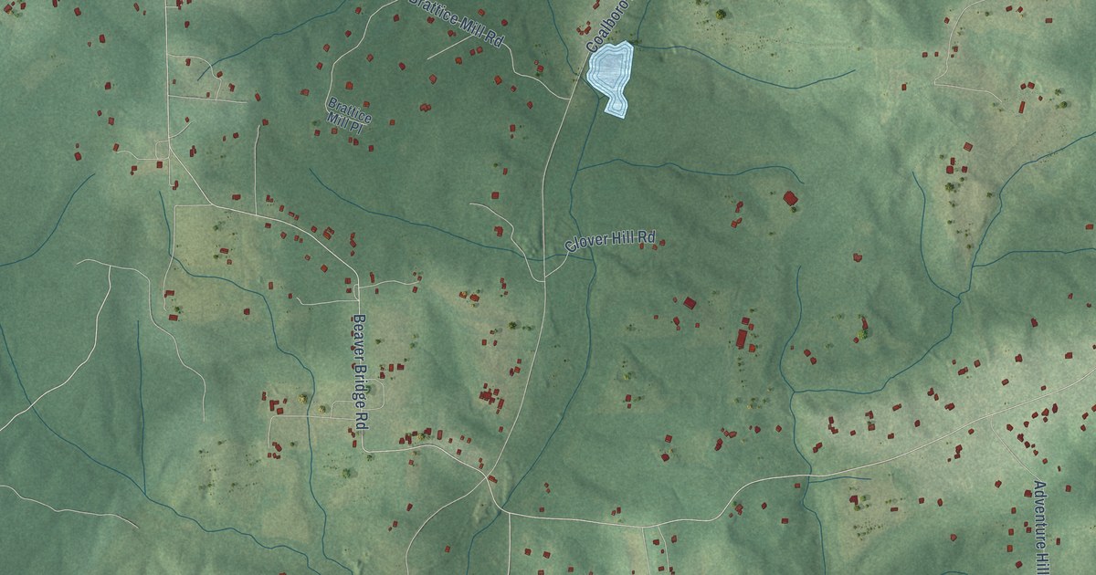
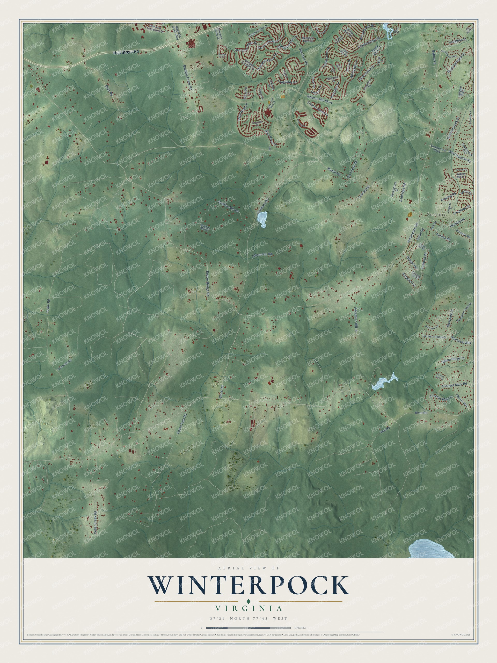
This beautifully detailed map of Winterpock, Virginia was created in 2026 using aerial imagery combined with modern topographical, census, street and landmark data. It’s a one-of-a-kind view of Winterpock that combines accurate data with a vintage aesthetic. The map shows every building in its true location, many of the roads carry their names, and the shaded topographic relief shows the shape of the land.
Explore an aerial view of Winterpock, Virginia
On the map you’ll find Summit, along with Hull Street Road, Rosebud Road, River Road, Winterpock Road, Beach Road, Coalboro Road, Beaver Bridge Road, Taylor Road, Harpers Mill Parkway, Eppes Falls Road, Baldwin Creek Road, and more. If you look closely you can even find your house accurately drawn in its correct location. Zoom in on the preview to look for yours.
Did You Know?
From Internet Archive: "For ten pounds, deeded son Joseph 1100 acres in Chesterfield Sept 15, 1777, known as Winterpock, which estate Joseph sold the next year to Ralph Crawforth Anderson for 4000 pounds."
Winterpock is a community in Chesterfield County.
Take a closer look at the Winterpock map
Names on this map
These names are printed on this map.
Places: Summit.
Streets and roads: Hull Street Road, Rosebud Road, River Road, Winterpock Road, Beach Road, Coalboro Road, Beaver Bridge Road, Taylor Road, Harpers Mill Parkway, Eppes Falls Road, Baldwin Creek Road, Bethia Road.
More street names, A to Z
Adventure Hill Lane, Ambridge Road, Amington Lane, Ascot Drive, Avening Road, Badestowe Drive, Beechgrove Drive, Beyer Road, Black Road, Blooming Road, Bole Hat Road, Branding Iron Road, Brattice Mill Place, Brattice Mill Road, Cedar Creek Road, Celtic Road, Chiasso Way, Clover Hill Road, Corsica Drive, Danforth Road, Doss Road, Dry Creek Road, Elementary Way Lp, Featherchase Drive, Fishers Green Drive, Forge Gate Lane, Glen Royal Drive, Greenhart Drive, Halyard Terrace, Hampton Arbor Circle, Hampton Crossing Drive, Hampton Farms Drive, Hampton Glen Drive, Hampton Glen Lane, Hampton Green Drive, Hampton Meadows Lane, Hampton Park Drive, Hampton Valley Drive, Hartridge Drive, Hembrick Road, Hensley Road, Highgate Hill Drive, Highmarker Court, Houghton Street, Jennings Run Drive, Jptr, Little Hill Court, Longlands Road, Longtown Drive, Longtown Tl, Magnolia Green Parkway, Memorial Tournament Drive, Morocco Lane, Old Bond Street, Otterdale Road, Petherwin Lane, Physic Hill Road, Plantation Trace Drive, Princess Mary Place, Princess Mary Road, Princess Mary Terrace, Pullman Lane, Puritan Road, Ranger Road, Riverpark Drive, Riverpark Terrace, Riverpark Way, Riverway Road, Rowden Road, Royal Birkdale Drive, Royal Birkdale Parkway, Salk Road, Shady Banks Drive, Sheldon Drive, Southern Points Drive, Spiral Drive, Summercliff Trail, Summercreek Drive, Summerford Parkway, Summerlook Place, Summit Road, Sylvan Ridge Road, Thirsk Lane, Timberstone Drive, Turquoise Drive, Twisted Cedar Drive, Vest Road, West Hensley Road, Willow Hill Court, Willow Hill Lane, Willow Walk Drive, Winding Ash Drive.
See it on a wall
The Winterpock map as a framed print. Swipe for more.


This beautifully detailed map of Winterpock makes an attractive addition to your office, library, or den, and it can even be used to teach children the geography and history of the area. It also makes a great gift for anyone with Winterpock roots. When you’re done exploring, click here to get your copy of the Winterpock map.