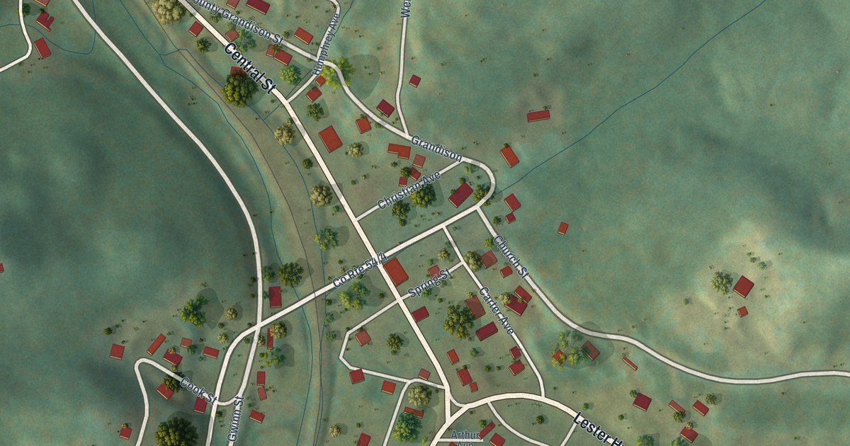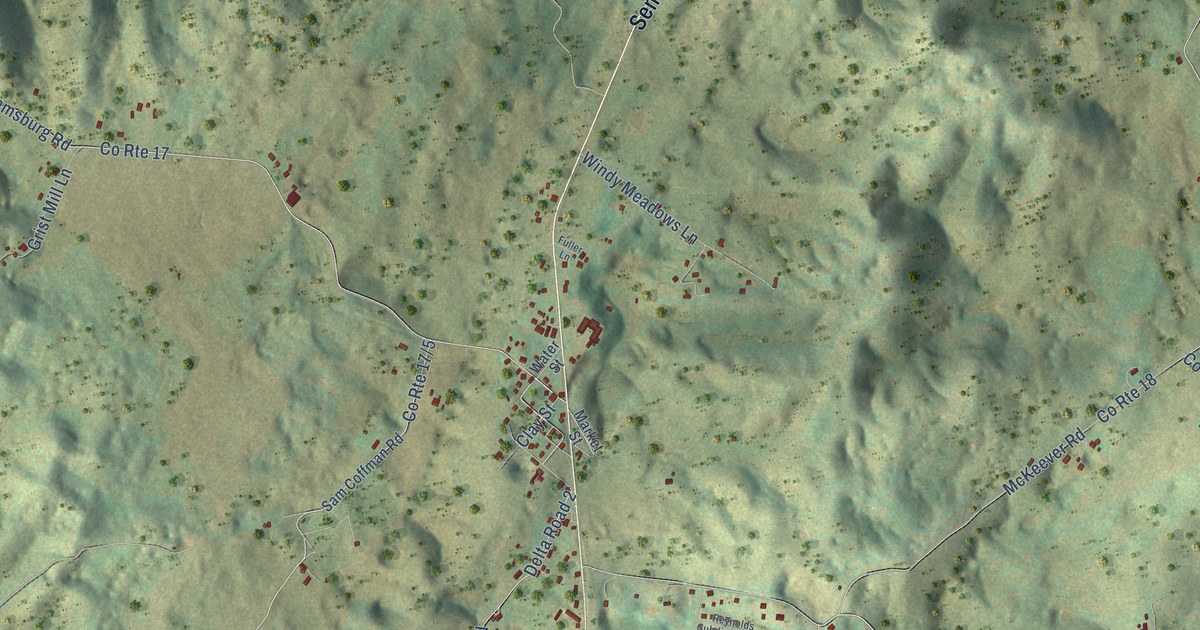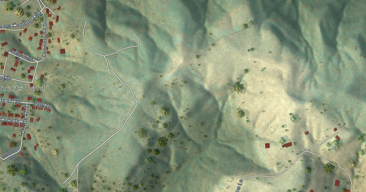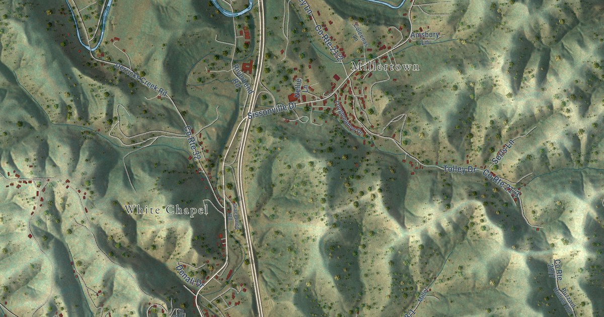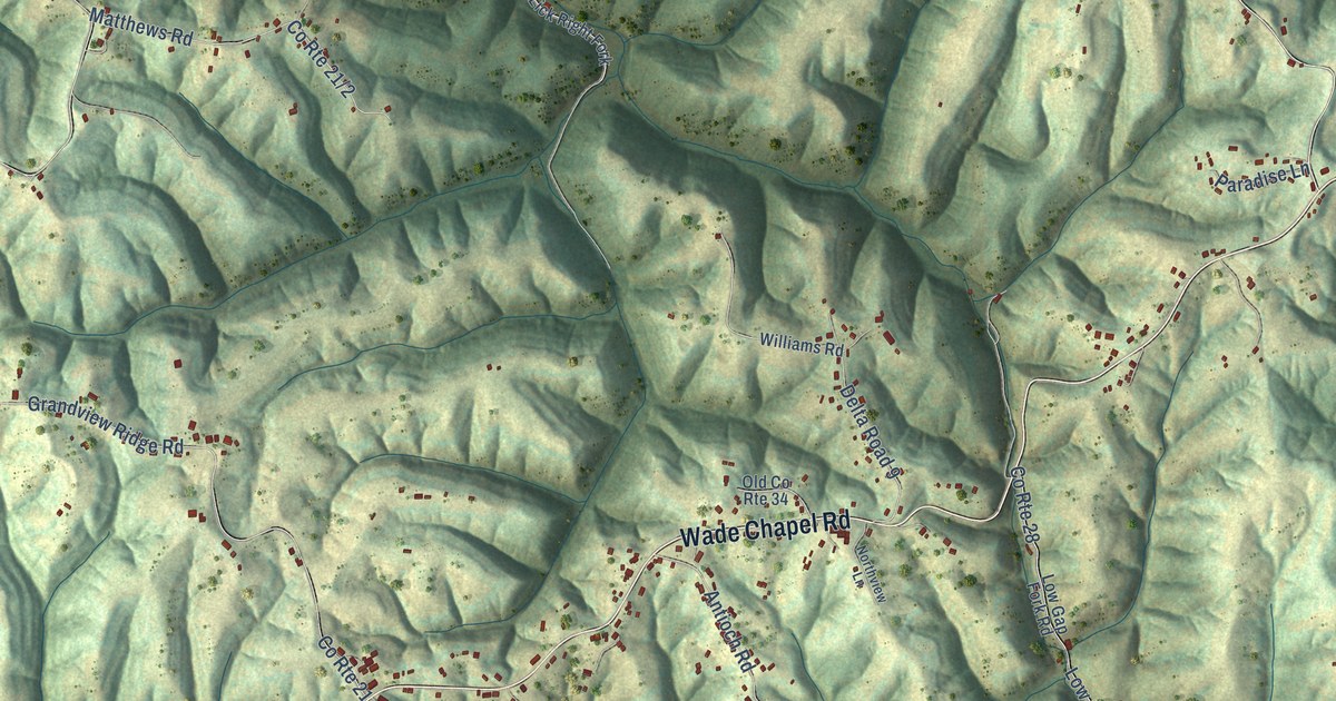
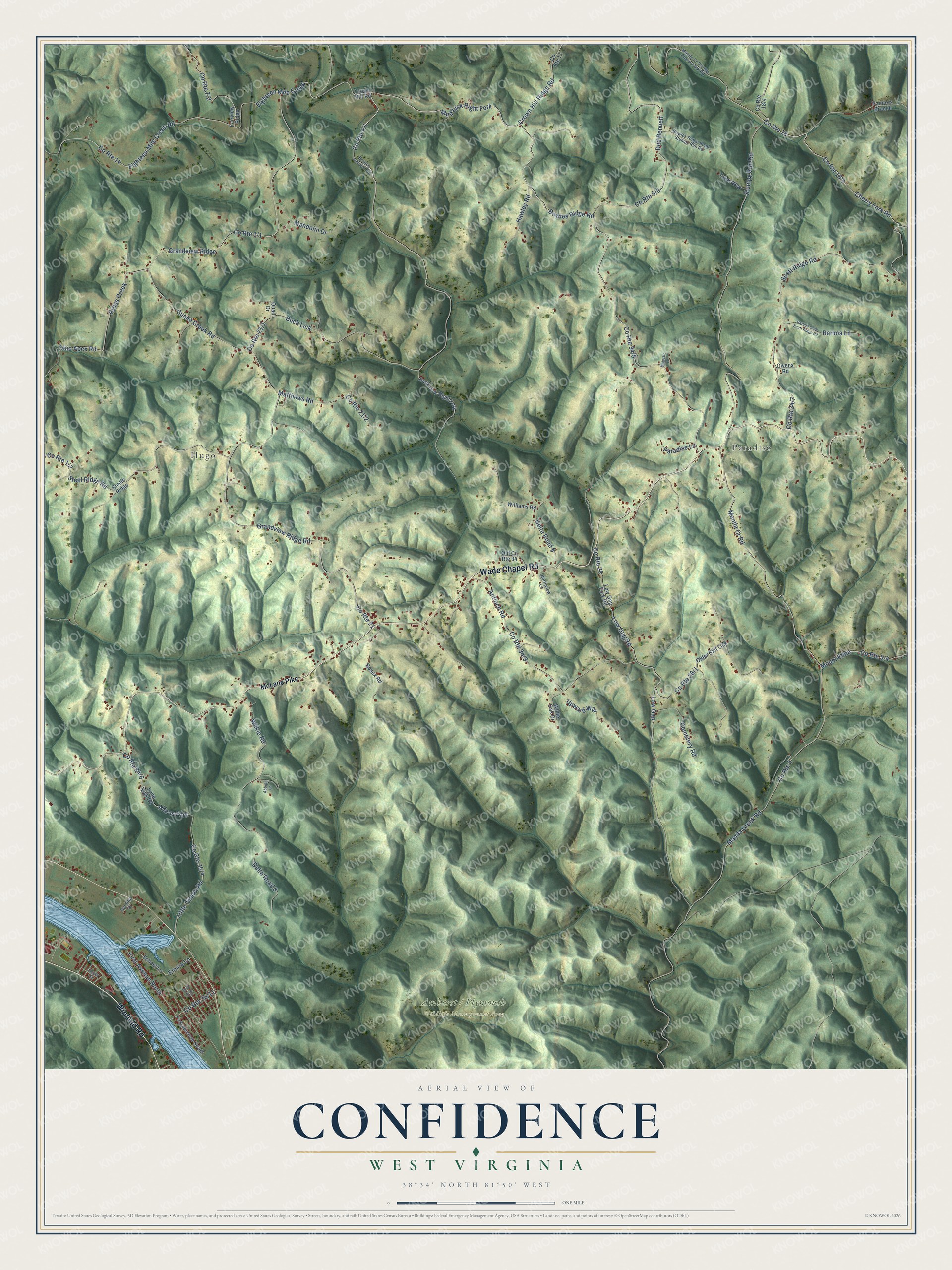
This beautifully detailed map of Confidence, West Virginia was created in 2026 using aerial imagery combined with modern topographical, census, street and landmark data. It’s a one-of-a-kind view of Confidence that combines accurate data with a vintage aesthetic. The map shows every building in its true location, many of the roads carry their names, and the shaded topographic relief shows the shape of the land.
Explore an aerial view of Confidence, West Virginia
On the map you’ll find Paradise, Hugo, Amherst / Plymouth Wildlife Management Area, Mud Lick Right Fork, Eighteen Mile Creek, and Grandview Ridge, along with Wade Chapel Road, Winfield Road, Bowles Ridge Road, Crown Hill Ridge Road, Cherry Fork Road, Little Guano Road, and more. If you look closely you can even find your house accurately drawn in its correct location. Zoom in on the preview to look for yours.
Take a closer look at the Confidence map
Names on this map
These names are printed on this map.
Places: Paradise and Hugo.
Streets and roads: Wade Chapel Road, Winfield Road, Bowles Ridge Road, Crown Hill Ridge Road, County Route 18, Cherry Fork Road, Mud Lick Right Fork, Eighteen Mile Creek, Little Guano Road, Grandview Ridge, Manila Cr Road, County Route 5.
More street names, A to Z
Abbott Lane, Allens Fork, Antioch Road, Barboa Lane, Barboa Lane Scott Ridge Road, Bosox Road, Bowles Ridge Road Stumpy Run Road, Bronco Junction Road, Buck Lick, Buck Lick Right Fork, Cemetery Road, County Route 11, County Route 14, County Route 21, County Route 28, Cross Creek, Crown Hill Road, Delta Road 8, Delta Road 9, Dover Street, Dud Bennett, Eighteen Mile Creek Road, Emma Lane, Fairview Ridge, First Avenue North, First Avenue South, Grandview Ridge Road, Guano Creek Road, Harding Drive, Hawley Road, Lone Oak Road, Low Gap, Low Gap Fork Road, Low Gap Road, Majestic Lane, Mandolin Drive, Manila Creek Road, Manila Cr Stumpy Cherry Fork Road, Matthews Road, McLane Pike, Mount Edna, Northview Lane, Ohio Apex Road, Old County Route 34, Older Salt Lick, Owens Road, Painters Branch, Paradise Lane, Quail Drive, School Lane, Scott Ridge Road, Steele Ridge, Steel Ridge Road, Stumpy Run Road, Trays Way, Upward Way, White Oak Drive, Wilkie Road, Williams Road.
See it on a wall
The Confidence map as a framed print. Swipe for more.


This beautifully detailed map of Confidence makes an attractive addition to your office, library, or den, and it can even be used to teach children the geography and history of the area. It also makes a great gift for anyone with Confidence roots. When you’re done exploring, click here to get your copy of the Confidence map.