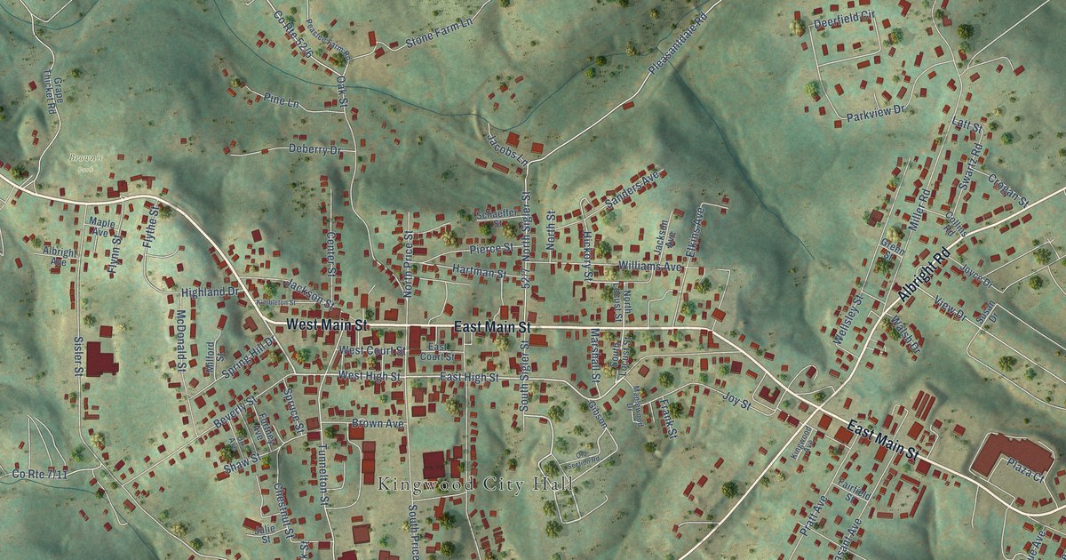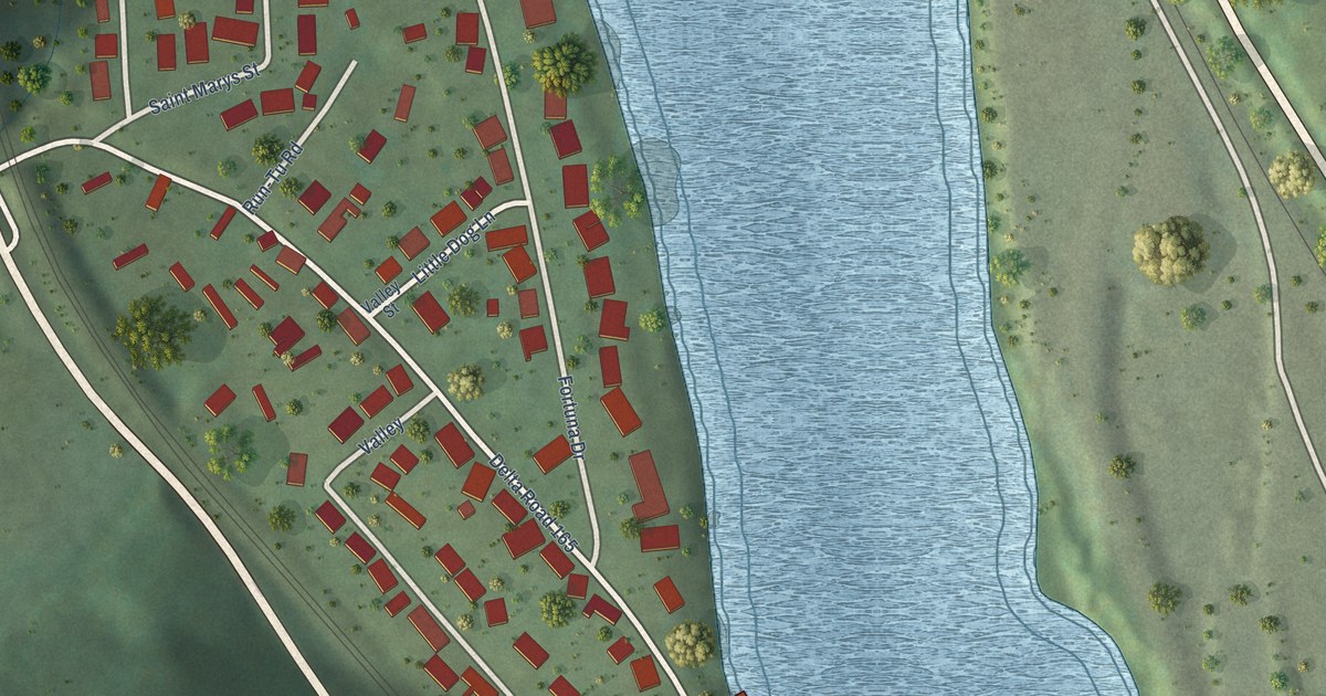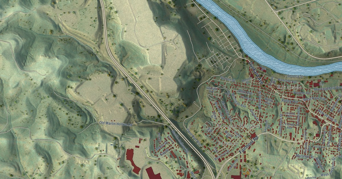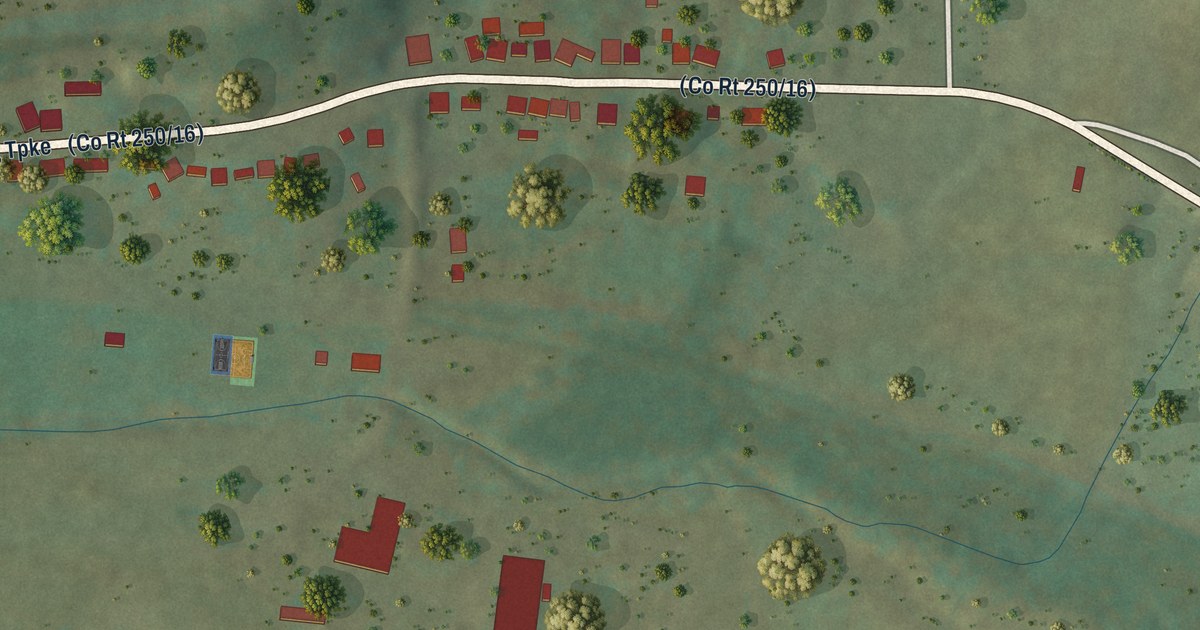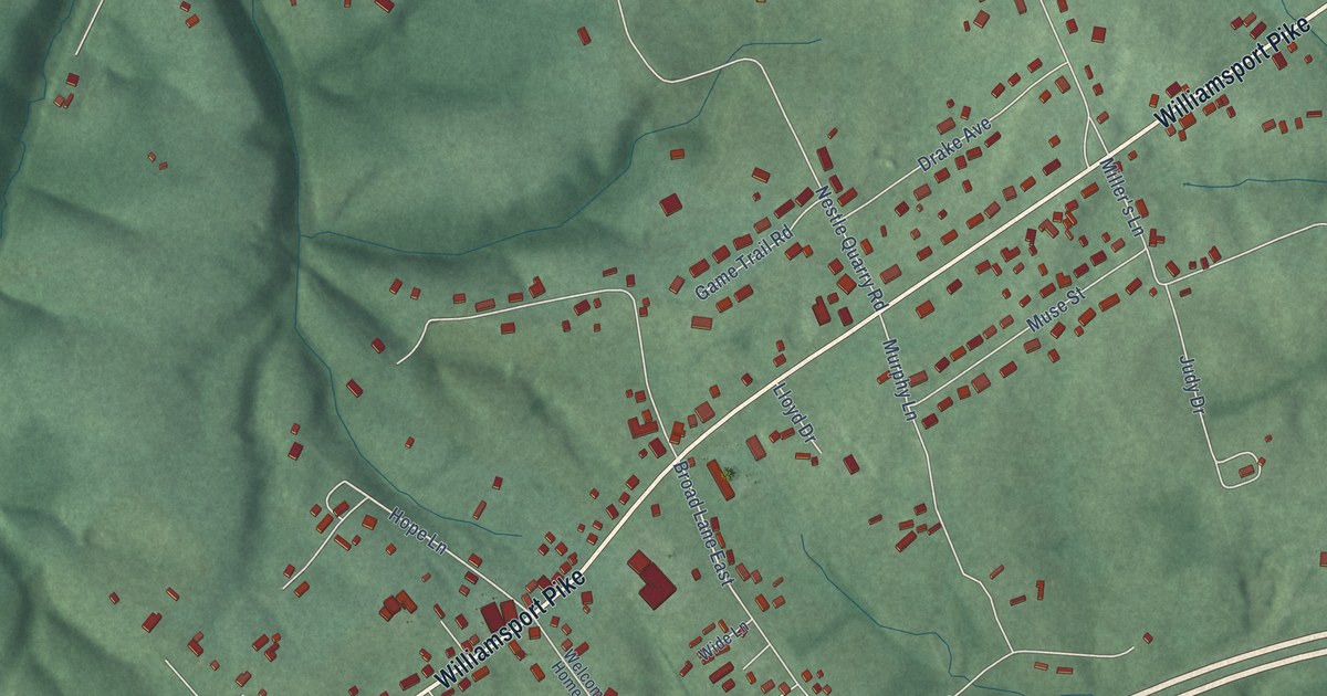
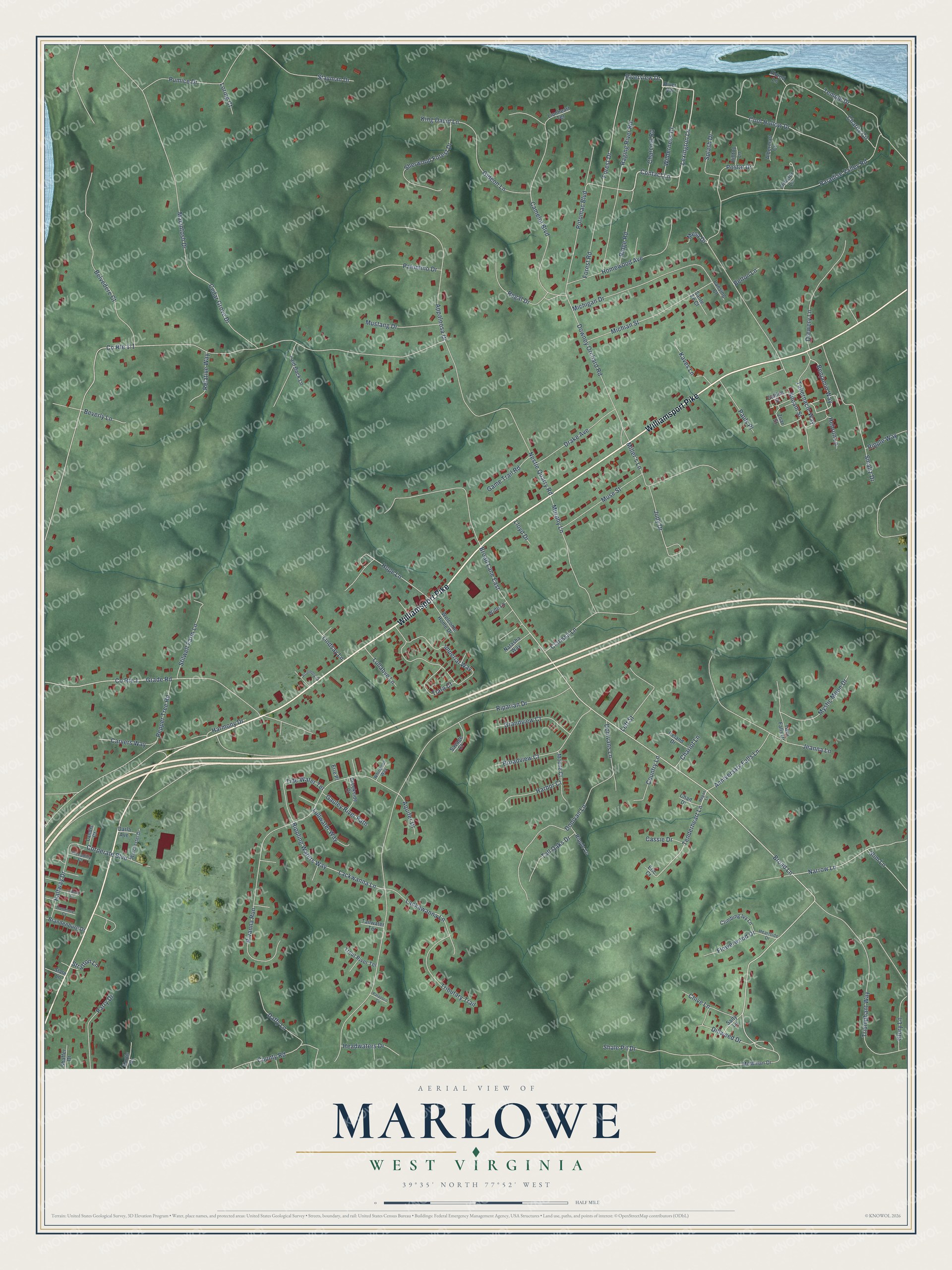
This beautifully detailed map of Marlowe, West Virginia was created in 2026 using aerial imagery combined with modern topographical, census, street and landmark data. It’s a one-of-a-kind view of Marlowe that combines accurate data with a vintage aesthetic. The map shows every building in its true location, many of the roads carry their names, and the shaded topographic relief shows the shape of the land.
Explore an aerial view of Marlowe, West Virginia
On the map you’ll find Williamsport Pike, Lexington Lane, Contact Lane, Riverview Drive, Broad Lane East, Broad Lane, Hope Lane, Narrow Lane, Benjamin Way, Rippling Waters Way, Tenderheart Lane, Lackwanna Lane, and more. If you look closely you can even find your house accurately drawn in its correct location. Zoom in on the preview to look for yours.
Take a closer look at the Marlowe map
Names on this map
These names are printed on this map.
Streets and roads: Williamsport Pike, Lexington Lane, Contact Lane, Riverview Drive, Broad Lane East, Broad Lane, Hope Lane, Narrow Lane, Benjamin Way, Rippling Waters Way, Tenderheart Lane, Lackwanna Lane.
More street names, A to Z
Albermarl Court, Anniversary Falls Lane, Appaloosa Drive, Aquifer Drive, Assembly Lane, Belton Lane, Belvedere Court, Beverly Lane, Brandenburg Drive, Broadview Court, Camelot Boulevard, Carvers Way, Cassie Drive, Cedar Grove Drive, Chad Drive, Charcoal Road, Chariot Lane, Charity Circle, Chive Lane, Clarissa Lane, Climbing Ivy Lane, Cool Hollow Drive, Corperate Boulevard, Council Court, Country Lane, County Road, County Route 1, Creekside Court, Daffy Lane, Darla Avenue, Dillweed Drive, Donivan Lane, Donivans Lane, Downey Orchard Road, Drake Avenue, Drewery Lane, Dunmore Court, Eldred Lane, Eric Court, Erie Place, Flowerwood Drive, Forest Drive, Forest Road, Galilee Street, Game Trail Road, Gauley River Path, Gideon Lane, Glory Lane, Grade Road, Grandview Court, Halfway Drive, Harbor Court, Harmony Drive, Headwaters Drive, Heartside Drive, Hebron Lane, Hilltop Lane, Homewood Avenue, Imperial Way, Ireland Drive, Jeanna Lane, Judy Drive, Kaves Lane, King David Lane, Kurtis Drive, Lackawanna Lane, Laid Back Lane, Landis Court, Lansing Court, Left Street, Lindsay Lane, Lionheart Terrace, Lloyd Drive, Loring Court, Lullabye Lane, Lullwater Way, Macintosh Drive, McMillan Drive, Megan Lane, Mesa Drive, Michian Street, Michigan Drive, Miller's Lane, Mobile Court, Murphy Lane, Muse Street, Mustang Drive, Mystic Moon Drive, Natasha Way, Nestle Quarry Road, Palomino Drive, Paradise Valley Road, Parry Drive, Patapsco Circle, Pauls Place, Pepper Tree Road, Piccadilly Court, Postal Drive, Potomac Boulevard, Proctor Lane, Pumice Drive, Raging River Road, Regal Drive, Relative Way, Ridge Road, Riparian Drive, Ripple Lane, Ripple Way, Rivanna Run, River Vw, Salty Lane, Sante Fe Court, Savage Court, Shaffer Drive, Shale Pit Drive, Sherwood Forest Drive, Siloam Street, Slate Lane, Slim Lane, Smaltz Drive, Splash Drive, Stayman Drive, Stilwell Farm Lane, Stratton Lane, Tabernacle Way, Tailwater Terrace, Tall Oaks Drive, Temple Drive, Tiara Court, Tide Water Terrace, Tributary Trail, Triumphant Way, Trout River Terrace, Twin Falls Drive, Welcome Home Drive, Whirlpool Way, Wide Lane, Wilderness Drive, Worchester Drive, Zoar Street.
See it on a wall
The Marlowe map as a framed print. Swipe for more.


This beautifully detailed map of Marlowe makes an attractive addition to your office, library, or den, and it can even be used to teach children the geography and history of the area. It also makes a great gift for anyone who grew up in Marlowe or moved away. When you’re done exploring, click here to get your copy of the Marlowe map.