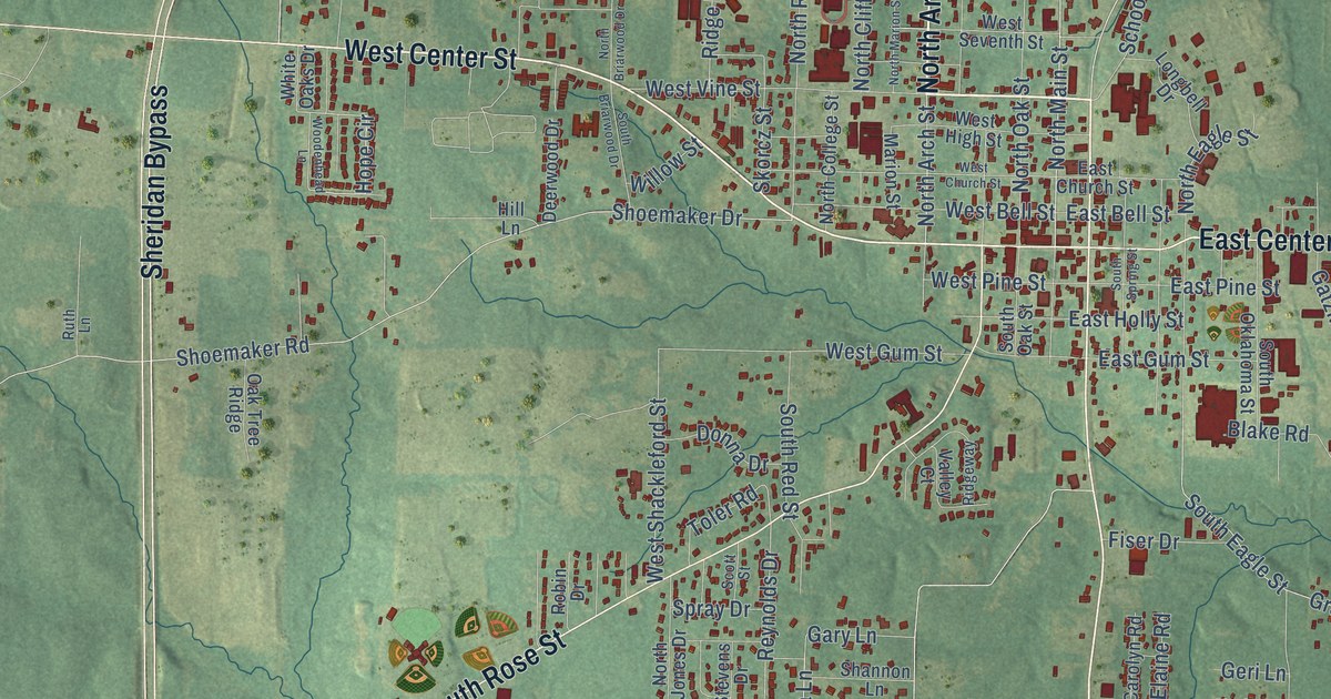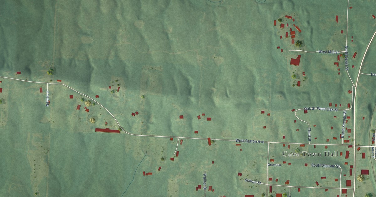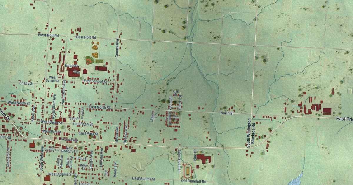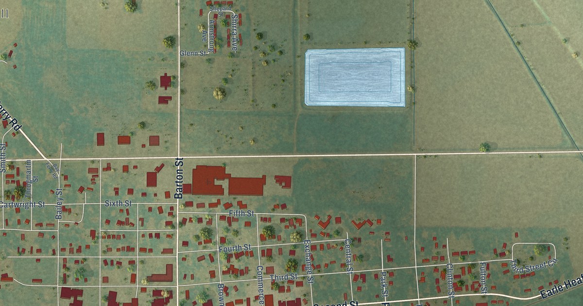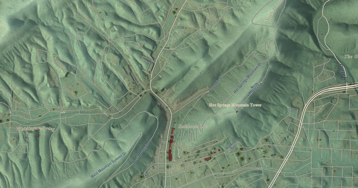
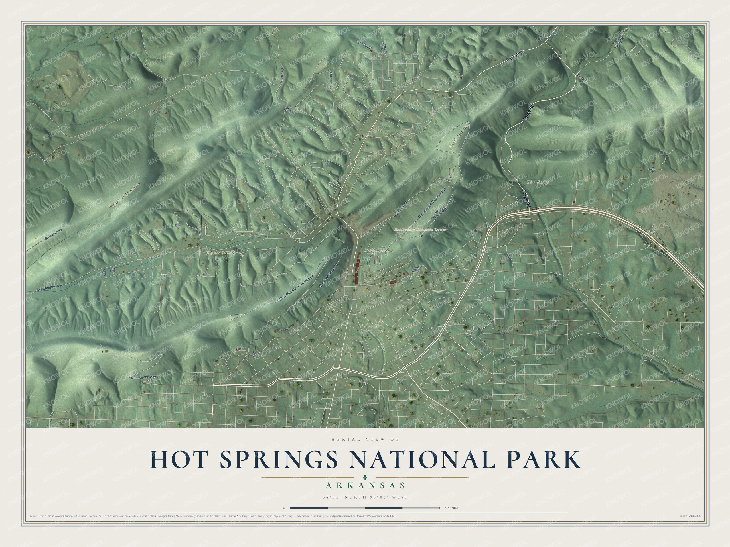
This beautifully detailed map of Hot Springs National Park was created in 2026 using aerial imagery combined with modern topographical, census, street and landmark data. It covers the park’s wooded mountains and the historic heart of downtown Hot Springs, where Bathhouse Row sits at the foot of Hot Springs Mountain and the city’s streets wind through the valleys between the ridges. Shaded topographic relief shows the mountains that hold the springs, and the park’s names sit right on the land they belong to.
Explore an aerial view of Hot Springs National Park
On the map you’ll find Bathhouse Row, the Hot Springs Mountain Tower, North Mountain, Sugarloaf Mountain, The Gorge and Whittington Spring, along with Hot Springs Mountain Drive, West Mountain Drive, North Mountain Drive, Whittington Avenue, Park Avenue and Fountain Street. If you’ve taken the waters on Bathhouse Row or driven up to the tower, zoom in on the preview to find the street you remember.
Did You Know?
On April 20, 1832, President Andrew Jackson signed a law setting aside the hot springs and the land around them for the United States. From the National Park Service: “This makes Hot Springs National Park the oldest national park among current National Park units, predating Yellowstone National Park by forty years.”
American Indians came to these mountains for thousands of years to quarry novaculite for their tools and weapons. In 1804 President Thomas Jefferson sent the Dunbar and Hunter expedition to explore the southern reaches of the Louisiana Purchase, and a town soon grew up around the springs to serve health seekers. A fire in 1878 swept through much of downtown, and the government then set strict rules for new bathhouses. In 1882 and 1883 the creek was enclosed in an underground arch, and by 1901 every spring had been walled up and covered to protect it. Between 1912 and 1923 the wooden Victorian bathhouses were replaced by the brick and stucco buildings of Bathhouse Row, the last of them the Lamar in 1923. The reservation became the country’s eighteenth national park on March 4, 1921, and the town took the name Hot Springs National Park at the same time.
Take a closer look at the Hot Springs National Park map
See it on a wall
The Hot Springs National Park map as a framed print. Swipe for more.


This beautifully detailed map of Hot Springs National Park makes an attractive addition to your office, library, or den, and it can even be used to teach children the history of the springs and the city that grew up around them. It also makes a great gift for anyone who has visited Bathhouse Row or grew up in Hot Springs. When you’re done exploring, click here to get your copy of the Hot Springs National Park map.