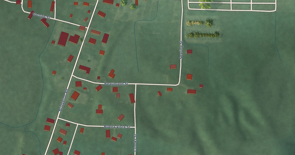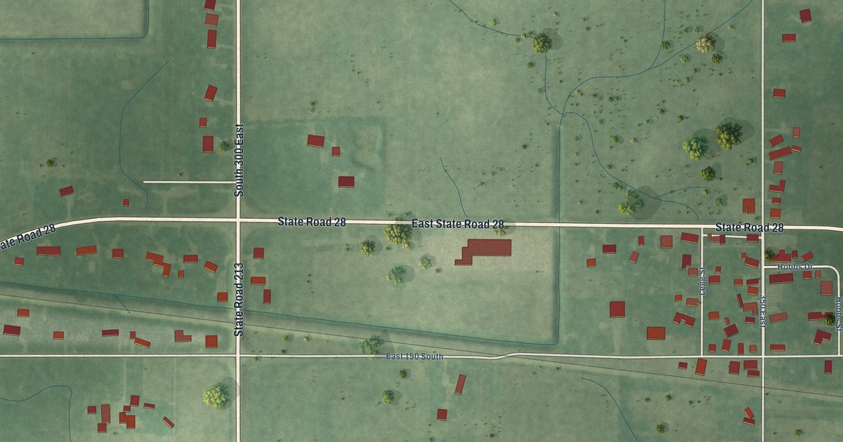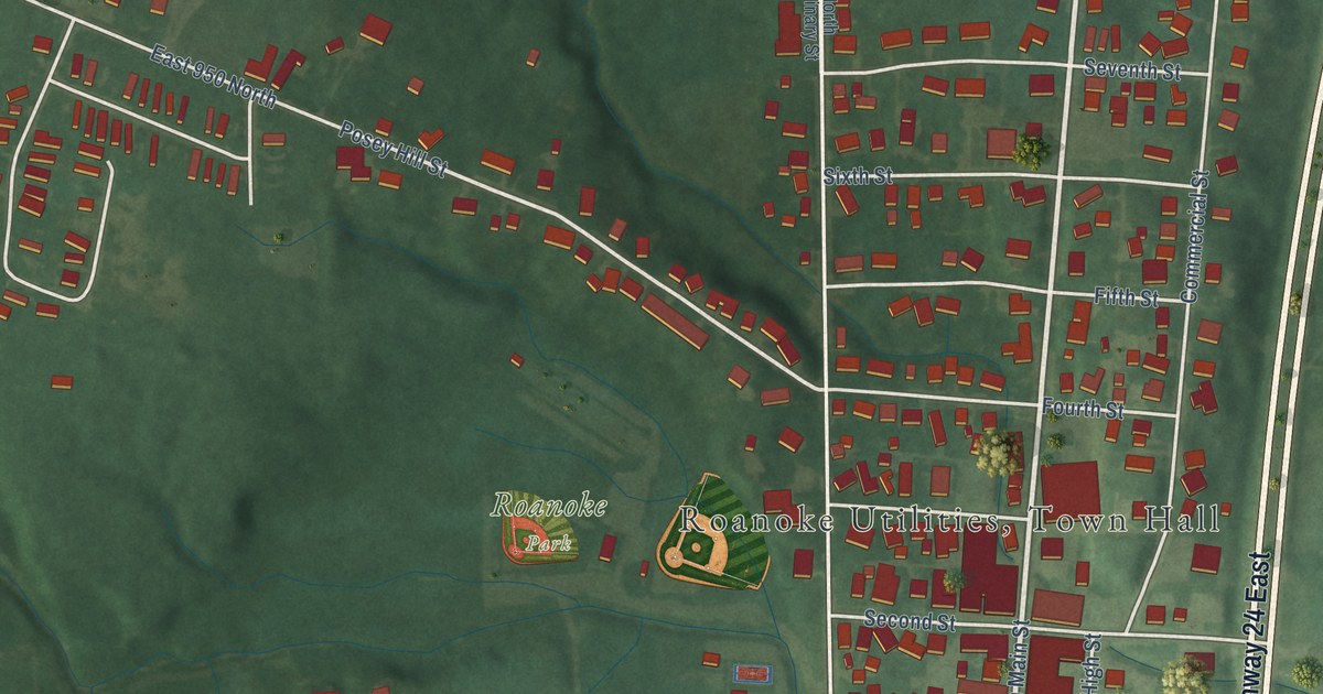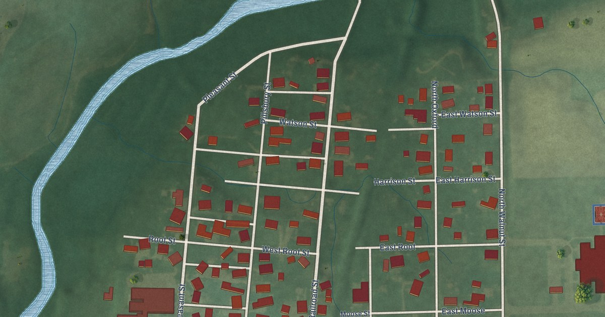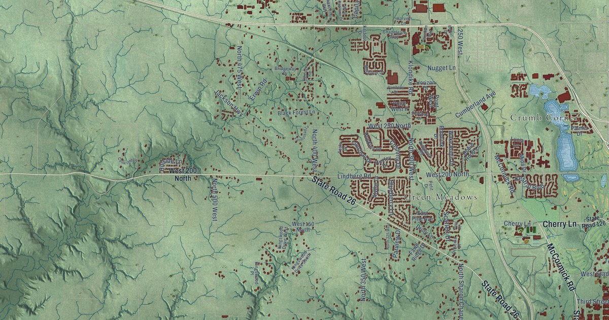
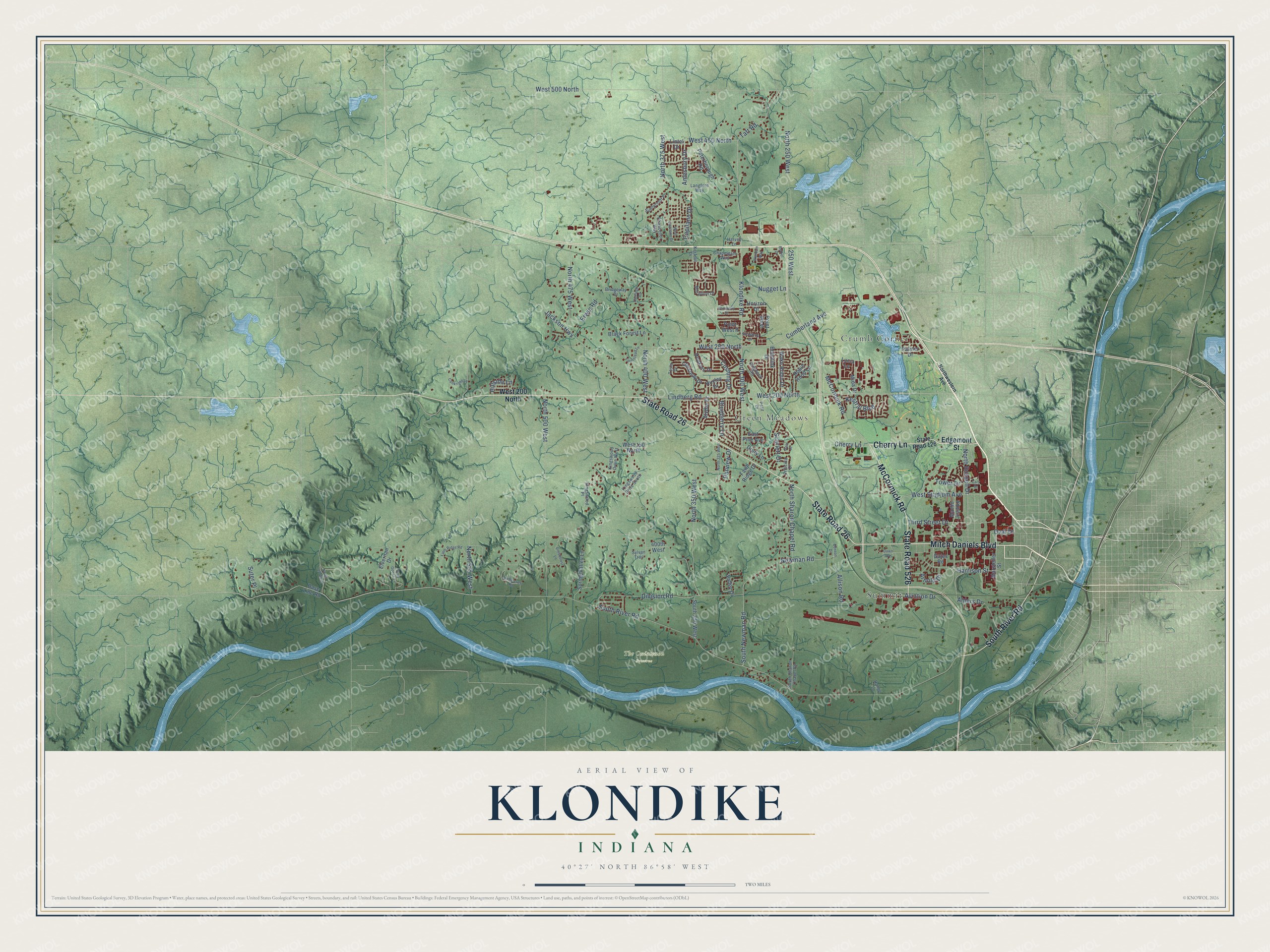
This beautifully detailed map of Klondike, Indiana was created in 2026 using aerial imagery combined with modern topographical, census, street and landmark data. It’s a one-of-a-kind view of Klondike that combines accurate data with a vintage aesthetic. The map shows every building in its true location, many of the roads carry their names, and the shaded topographic relief shows the shape of the land.
Explore an aerial view of Klondike, Indiana
On the map you’ll find The Ouiatenon Preserve, Crumb Corner, Summit, and Green Meadows, along with State Road 26, Cherry Lane, McCormick Road, Mitch Daniels Boulevard, South River Road, State Road 526, Taft Road, Cumberland Avenue, and more. If you look closely you can even find your house accurately drawn in its correct location. Zoom in on the preview to look for yours.
Did You Know?
From Internet Archive: "SAW AND PLANING MILL RUDD, A, cor Klondike av and Cross st."
Klondike is a community in Tippecanoe County.
Take a closer look at the Klondike map
Names on this map
These names are printed on this map.
Places: The Ouiatenon Preserve, Crumb Corner, Summit and Green Meadows.
Streets and roads: State Road 26, Cherry Lane, McCormick Road, Mitch Daniels Boulevard, South River Road, State Road 526, Taft Road, Cumberland Avenue, North 350 West, North Russell Drive, West 500 North, Harrison Street.
More street names, A to Z
250 West, 400th West, Ahlers Drive, Allison Road, Alydar Drive, Amesbury Drive, Arnold Drive, Aviation Drive, Base Line Road, Benson Drive, Bethel Drive, Black Forest Lane, Blueberry Lane, Bobolink Drive, Bridgeway Drive, Capilano Drive, Carriage Road, Cary Drive, Chancellor Way, Chapelgate Way, Conkright Lane, Cousteau Drive, Cushing Drive, Dawn Avenue, Division Road, Drury Lane, East Pine Avenue, Edgemont Street, Elvernan Drive, Erwin Road, Farm Ridge Road, Farmstead Lane, Fawn Ridge Drive, Gala Drive, Gates Road, Grey Goose Lane, Harvey Lane, Hillside Lane, Hopkins Drive, Horizon Drive, Huxley Drive, Jackson Highway, Kerfoot Drive, Kestral Boulevard, Kingswood Drive South, Kingswood Drive West, Kingswood Place, Klondike Road, Langford Way, Limberlost Lane, Lindberg Road, Lintel Drive, Lucia Lane, Marsteller Street, Martin Jischke, Mida Drive, Morallion Drive, Newman Road, North 250 West, North 300 West, North 325 West, North 375 West, North 400 West, North 475 West, North 500 West, North 575 West, North 725 West, North Sharon Chapel Road, Northwestern Avenue, Nugget Lane, Oval Drive, Palmer Drive, Pamberly Drive, Parview Drive, Peterborough Road, Petit Drive, Point West, Point West II, Priscilla Drive, Range Lane, Ringneck Road, Robin Hood Lane, Scarlett Drive, Snowdrop Drive, South 350 West, South Newman Road, South Sharon Chapel Road, Spring Valley Lane, State Road 126, Sunnycroft Place, Suter Place, Sylvan Trail, Tesla Drive, Third Street Drive, Timbercrest Road, Tower Drive, Valley Drive, Wake Robin Drive, West 150 North, West 200 North, West 250 North, West 450 North, West Capilano Drive, West Stadium Avenue, Wyndam Way.
See it on a wall
The Klondike map as a framed print. Swipe for more.


This beautifully detailed map of Klondike makes an attractive addition to your office, library, or den, and it can even be used to teach children the geography and history of the area. It also makes a great gift for anyone who grew up in Klondike or moved away. When you’re done exploring, click here to get your copy of the Klondike map.