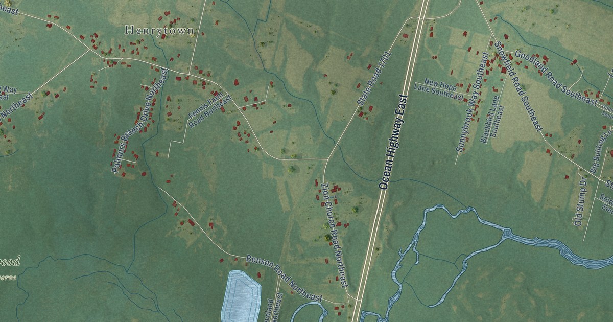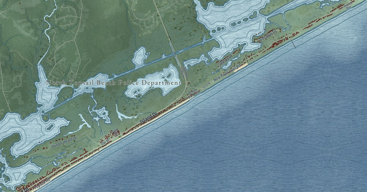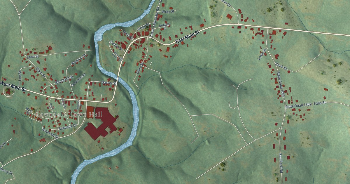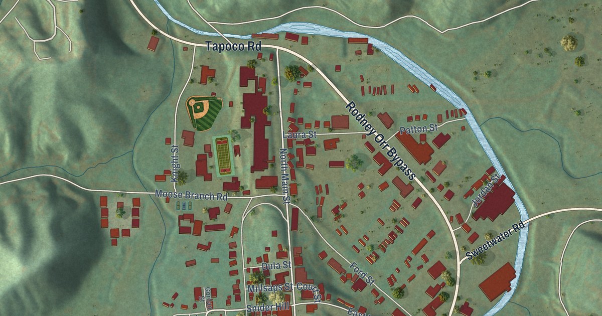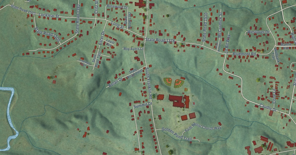
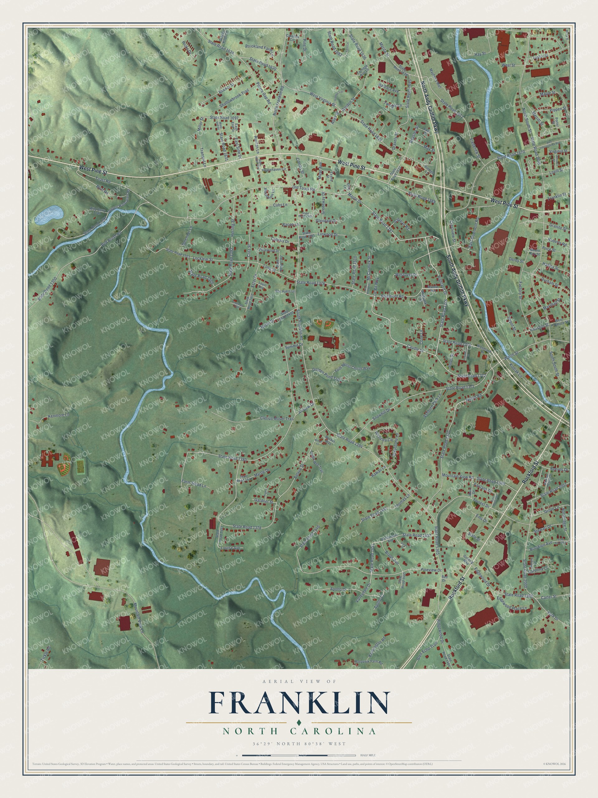
This beautifully detailed map of Franklin, North Carolina was created in 2026 using aerial imagery combined with modern topographical, census, street and landmark data. It’s a one-of-a-kind view of Franklin that combines accurate data with a vintage aesthetic. The map shows every building in its true location, many of the roads carry their names, and the shaded topographic relief shows the shape of the land.
Explore an aerial view of Franklin, North Carolina
On the map you’ll find Toast, along with South Andy Griffith Parkway, West Pine Street, Rockford Street, North Andy Griffith Parkway, State Road 1387, State Road 1375, Highland Drive, Maple Drive, State Road 1389, State Road 1451, Old Toast Road, and more. If you look closely you can even find your house accurately drawn in its correct location. Zoom in on the preview to look for yours.
Did You Know?
From Internet Archive: "Meantime Kirk with two regiments of deserters had established an outpost of Franklin's command on the turnpike at Blowing Rock."
Franklin is a community in Surry County.
Take a closer look at the Franklin map
Names on this map
These names are printed on this map.
Places: Toast.
Streets and roads: South Andy Griffith Parkway, West Pine Street, Rockford Street, North Andy Griffith Parkway, State Road 1387, State Road 1375, Highland Drive, Maple Drive, State Road 1389, State Road 1451, Old Toast Road, Mountain View Lane.
More street names, A to Z
Airview Drive, Allen Street, Apollo Court, Apollo Drive, Ashburn Park Lane, Bacon Lane, Barbara Avenue, Beasley Street, Belair Drive, Bell Drive, Belvue Drive, Bluejay Lane, Bluemont Road, Bluff Road, Booker Street, Brook Avenue, Brooklen Avenue, Calvary Drive, Carolina Circle, Carolina Court, Carriage Run Lane, Carter Street, Caudle Drive, Cletius Moser Trail, Columbus Street, Combs Street, Cone Lane, Crestview Street, Critz Street, Cubs Lane, Depot Street, Derby Street, Doggett Waterplant Road, Durham Street, East Bluemont Road, East End Drive, East Side Drive, East Street, Edgewood Drive, Edgewood Place Lane, Effie Lane, Ems Drive, Ester Drive, Evans Street, Factory Street, Fairlane Drive, Faith Baptist Church Way, Farm Stead Lane, Forrest Drive, Franklin Street, Frederick Street, Galyean Road, Gardner Street, Glendale Drive, Glen Echo Trail, Glenn Court, Golden Pond Trail, Golding Way, Gordon Street, Granite Street, Grannys Trail, Grassy Knoll Lane, Gravely Street, Greenway Drive, Greystone Lane, Grove Lane, Hadley Street, Hawaii Lane, Hay Street, Herring Street, Hicks Drive, Hollyview Farm Road, Houston Street, Johnson Street, Jones Street, Kenmore Lane, Kensington Road, Kodiak Lane, Linwood Drive, Lit Bit Way, Locklear Street, Long Street, Louise Avenue, Lovill Avenue, Lovill Street, Main Drive, Mantle Avenue, Maple Street, Marshall Heights Street, Marshall Street, Mayberry Mall, May Street, McCormick Street, Merita Street, Merritt Street, Miller Street, Mountain View Road, Mount Airy Street, Muse Avenue, Myrtle Drive, North Franklin Road, Northridge Street, North South Street, Park Drive, Peacehaven Circle, Pine Drive, Pineview Drive, Pipers Gap Road, Pippen Street, Porter Street, Price Street, Red Brush Road, Reeves Drive, Ridgewood Drive, Roberts Road, Rocket Way, Rogers Lane, Rosewood Drive, Roy Ayers Lane, Ruritan Lane, Shallowbrook Trail, Snowhill Drive, South Franklin Road, South South Street, Spider Web Trail, Splendor Lane, State Road 1350, State Road 1365, State Road 1366, State Road 1367, State Road 1369, State Road 1370, State Road 1371, State Road 1372, State Road 1374, State Road 1376, State Road 1378, State Road 1380, State Road 1382, State Road 1385, State Road 1386, State Road 1391, State Road 1392, State Road 1393, State Road 1394, State Road 1437, State Road 1445, State Road 1446, State Road 1447, State Road 1450, State Road 1453, State Road 1457, State Road 1461, State Road 1484, State Road 1497, State Road 1503, State Road 1505, State Road 1510, State Road 1624, State Road 1630, State Road 1631, State Road 1633, State Road 1634, State Road 1636, State Road 1638, State Road 1645, State Road 1669, State Road 1670, State Road 1682, State Road 1697, State Road 1871, State Road 2000, State Road 2001, State Road 2004, State Street, Stewart Drive, Strickland Farm Lane, Summit Drive, Taylor Street, Terri Lane, Thomas Lane, Tickle Road, Timeless Trail, Toast Road, Tranquil Lane, Twilight Lane, Valleydale Drive, Vintage Lane, Virginia Street, Welch Road, Wellsley Circle, West End Drive, West Haymore Street, West Independence Boulevard, Westover Drive, West Street, West Virginia Street, Wicket Lane, Wild Berry Trail, Williamson Avenue, Willow Street, Windchime Lane, Wolfpack Trail, Woodland Drive, Worth Street.
See it on a wall
The Franklin, Surry County map as a framed print. Swipe for more.


This beautifully detailed map of Franklin, Surry County makes an attractive addition to your office, library, or den, and it can even be used to teach children the geography and history of the area. It also makes a great gift for someone who left Franklin and still calls it home. When you’re done exploring, click here to get your copy of the Franklin, Surry County map.