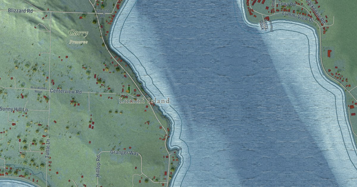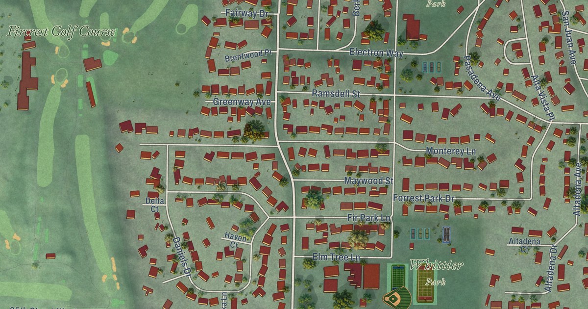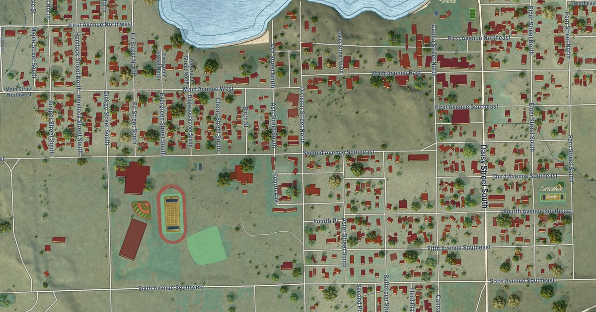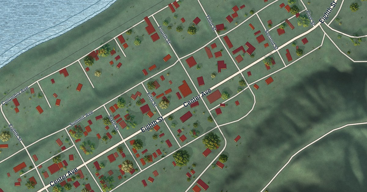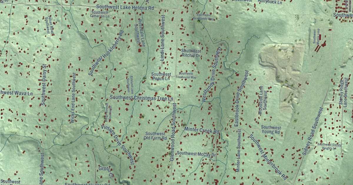
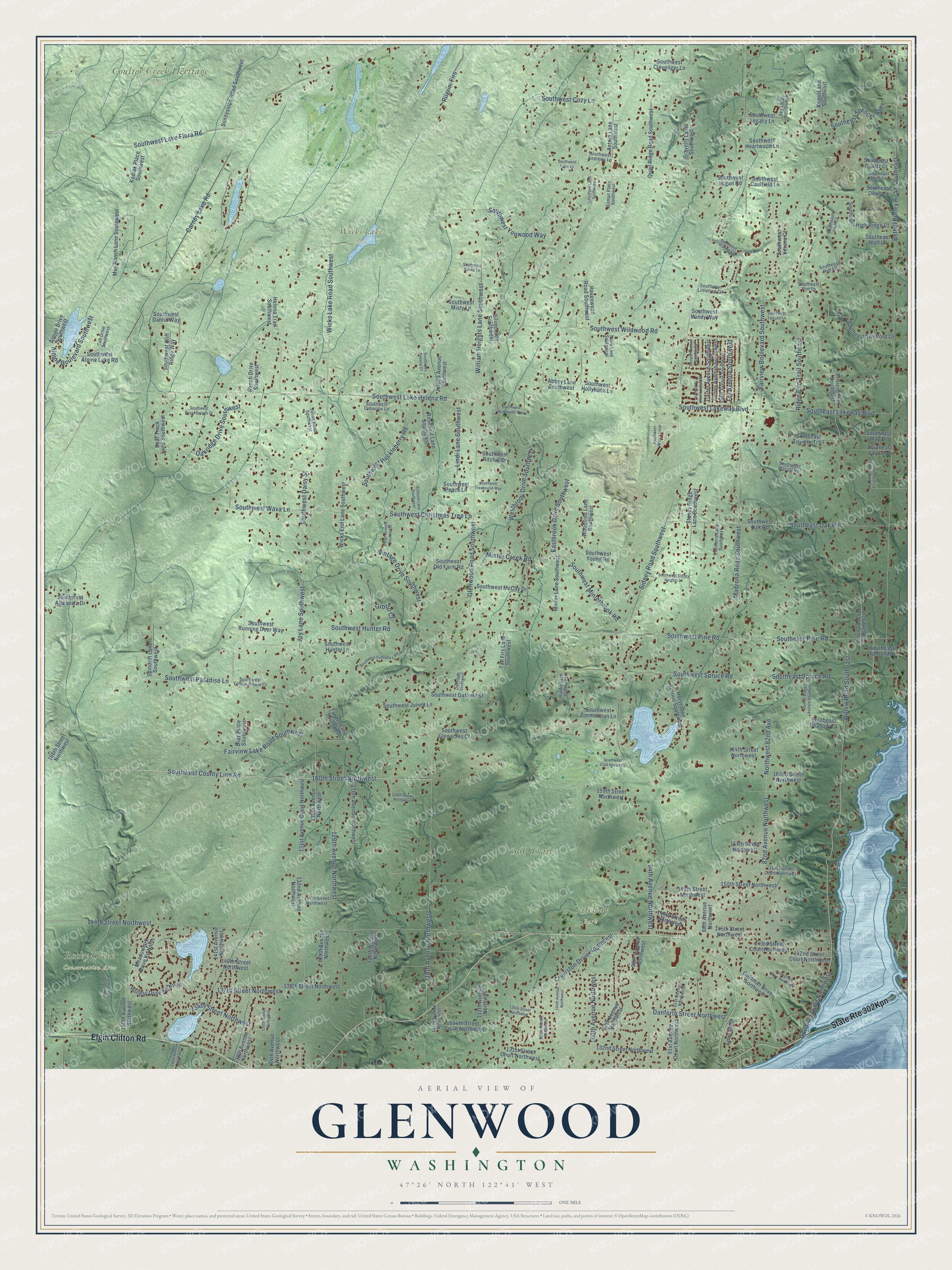
This beautifully detailed map of Glenwood, Washington was created in 2026 using aerial imagery combined with modern topographical, census, street and landmark data. It’s a one-of-a-kind view of Glenwood that combines accurate data with a vintage aesthetic. The map shows every building in its true location, many of the roads carry their names, and the shaded topographic relief shows the shape of the land.
Explore an aerial view of Glenwood, Washington
On the map you’ll find 360 Trails, Coulter Creek Heritage Park, Gateway Park, Rocky Creek Conservation Area, and Wicks Lake Park, along with Elgin Clifton Road, 160th Street Northwest, Southwest County Line Road, Goodrich Drive Northwest, Danforth Street Northwest, 128th Avenue Northwest, Glenwood Road Southwest, and more. If you look closely you can even find your house accurately drawn in its correct location. Zoom in on the preview to look for yours.
Did You Know?
From Internet Archive: "In 1867 he came back to Schuyler County again and soon became interested in the woolen mills that were established in Glenwood, where he had lost a considerable sum of money."
Glenwood is a community in Kitsap County.
Take a closer look at the Glenwood map
Names on this map
These names are printed on this map.
Places: 360 Trails, Coulter Creek Heritage Park, Gateway Park, Rocky Creek Conservation Area and Wicks Lake Park.
Streets and roads: Elgin Clifton Road, 160th Street Northwest, Southwest County Line Road, Goodrich Drive Northwest, Danforth Street Northwest, 128th Avenue Northwest, Glenwood Road Southwest, Sidney Road Southwest, Bethel Burley Road Southeast, 144th Street Northwest, Carney Lake Road, Southwest Lake Helena Road.
More street names, A to Z
82nd Avenue Northwest, 88th Avenue Northwest, 91st Avenue Court Northwest, 91st Avenue Northwest, 94th Avenue Northwest, 95th Avenue Northwest, 97th Avenue Northwest, 100th Avenue Northwest, 104th Avenue Northwest, 105th Avenue Northwest, 112th Avenue Northwest, 117th Avenue Northwest, 118th Avenue Northwest, 124th Avenue Northwest, 126th Avenue Northwest, 129th Avenue Northwest, 130th Avenue Northwest, 131st Avenue Court Northwest, 131st Street Court Northwest, 132nd Avenue Northwest, 132nd Street Northwest, 134th Avenue Northwest, 134th Street Court Northwest, 134th Street Northwest, 135th Avenue Northwest, 136th Street Northwest, 137th Street Northwest, 138th Avenue Northwest, 138th Street Northwest, 140th Street Northwest, 141st Avenue Northwest, 142nd Street Court Northwest, 143rd Street Court Northwest, 145th Street Northwest, 146th Avenue Northwest, 146th Street Northwest, 147th Street Northwest, 149th Street Northwest, 150th Avenue Northwest, 150th Street Northwest, 151st Street Court Northwest, 154th Street Northwest, 158th Street Northwest, 159th Street Northwest, 162nd Street Northwest, 164th Street Northwest, 166th Street Northwest, Abbey Lane Southwest, Alpine Boulevard Southwest, Alpine Drive Southwest, Antrim Lane Southwest, Bear Track Lane Southwest, Carter Avenue Southwest, Colony Avenue Southeast, Cooper Avenue Southwest, Creviston Drive Northwest, Cub Drive Southwest, Denny Avenue Southwest, Diaz Place Southwest, Eastbrook Drive Southwest, Ecklund Lane Southwest, Elder Avenue Southwest, Elgin Clifton Access Road, Emerald Drive, Evermore Lane Southwest, Fairview Boulevard Southwest, Fairview Lake Road Southwest, Fry Avenue Southwest, Gilman Place Southwest, Goldman Drive Northwest, Gravelly Lane Southwest, Grotto Court, Havenwood Road Southwest, Helena Trail Southwest, Holiday Drive Kp North, Horseshoe Avenue Southwest, Joletta Avenue Southwest, Joy Lane Southwest, Julian Road Southwest, Kegel Lane Southeast, Kodiak Place Southwest, Lilly Pond Lane Southwest, Lindi Lane Southwest, Madrona Road Southwest, Mayfair Avenue Southwest, May Ranch Lane Southwest, Meadowlark Drive Kp North, Minter Creek Road, Minter Lane Southwest, Northwest 82nd Avenue, Oakridge Drive Southwest, Owl Place Southwest, Pilgrim Firs, Quail Ridge Road Southwest, Rabbit Lane Southwest, Rainier Ridge Avenue Southeast, Ranch Drive Southwest, Ridge Rim Trail Southeast, Rosedale Lane Southwest, Silver Lane Southwest, Sky Lane Southwest, Sleigh Avenue Southwest, Southeast Dews Lane, Southeast Fauna Lane, Southeast Fenton Road, Southeast Game Trail Way, Southeast High Ridge Court, Southeast Irish Court, Southeast Lakeway Boulevard, Southeast Oak Road, Southeast Peabody Court, Southeast Pine Road, Southeast Quartz Court, Southeast Rim Lane, Southeast Rim Road, Southeast Shire Lane, Southeast Spencer Avenue, Southeast Spruce Road, Southeast Swofford Lane, Southeast Triviere Trail, Southeast Way Drive, Southeast Wolf Lane, Southwest Alpine Lake Road, Southwest Alta Vista Drive, Southwest Andrews Lane, Southwest Caulfield Lane, Southwest Christmas Tree Lane, Southwest Cimarron Lane, Southwest Clevenger Lane, Southwest Cliff Ridge Way, Southwest Club House Court, Southwest Cozy Lane, Southwest Daffodil Street, Southwest Dahlia Way, Southwest Daisy Street, Southwest Fawn Lane, Southwest Firdrona Lane North, Southwest Glenacres Court, Southwest Headlands Way, Southwest Heartwood Lane, Southwest Hipkins Court, Southwest Hollyhock Lane, Southwest Huckleberry Road, Southwest Hunter Lane, Southwest Hunter Road, Southwest Junett Lane, Southwest Lake Flora Road, Southwest Lakeway Boulevard, Southwest Legacy Lane, Southwest Littletree Circle, Southwest Logan Road, Southwest Matrix Loop, Southwest McCay Drive, Southwest Minterbrook Road, Southwest Misty Lane, Southwest Oak Road, Southwest Old Farm Road, Southwest Paradise Lane, Southwest Peace Lane, Southwest Pine Road, Southwest Ritchie Drive, Southwest Royal Spruce Drive, Southwest Running Deer Way, Southwest Salma Lane, Southwest Sedona Court, Southwest Sidney Heights Lane, Southwest Spruce Road, Southwest Terrace Lane, Southwest Treehouse Way, Southwest Verona Court, Southwest Wava Lane, Southwest Wildwood Road, Southwest Windy Way, Southwest Wycoff Road, Southwest Yellow Bloom Court, Southwest Young Road, Southwest Youwood Way, Southwest Zimmerman Lane, Spindrift Lane Southwest, Springfield Drive Northwest, Stoney Ridge Lane Southwest, Sunnyslope Road Southwest, Tall Firs Lane Southwest, Tania Lane Southwest, Tanner Lane Southwest, Triviere Trail Southeast, Vintage Drive Southwest, Westbrook Drive Southwest, Wicks End Lane Southwest, Wicks Lake Road Southwest, William Heights Lane Southwest, Willow Road Southeast, Woodside Lane Southwest.
See it on a wall
The Glenwood, Kitsap County map as a framed print. Swipe for more.


This beautifully detailed map of Glenwood, Kitsap County makes an attractive addition to your office, library, or den, and it can even be used to teach children the geography and history of the area. It also makes a great gift for anyone who grew up in Glenwood or moved away. When you’re done exploring, click here to get your copy of the Glenwood, Kitsap County map.