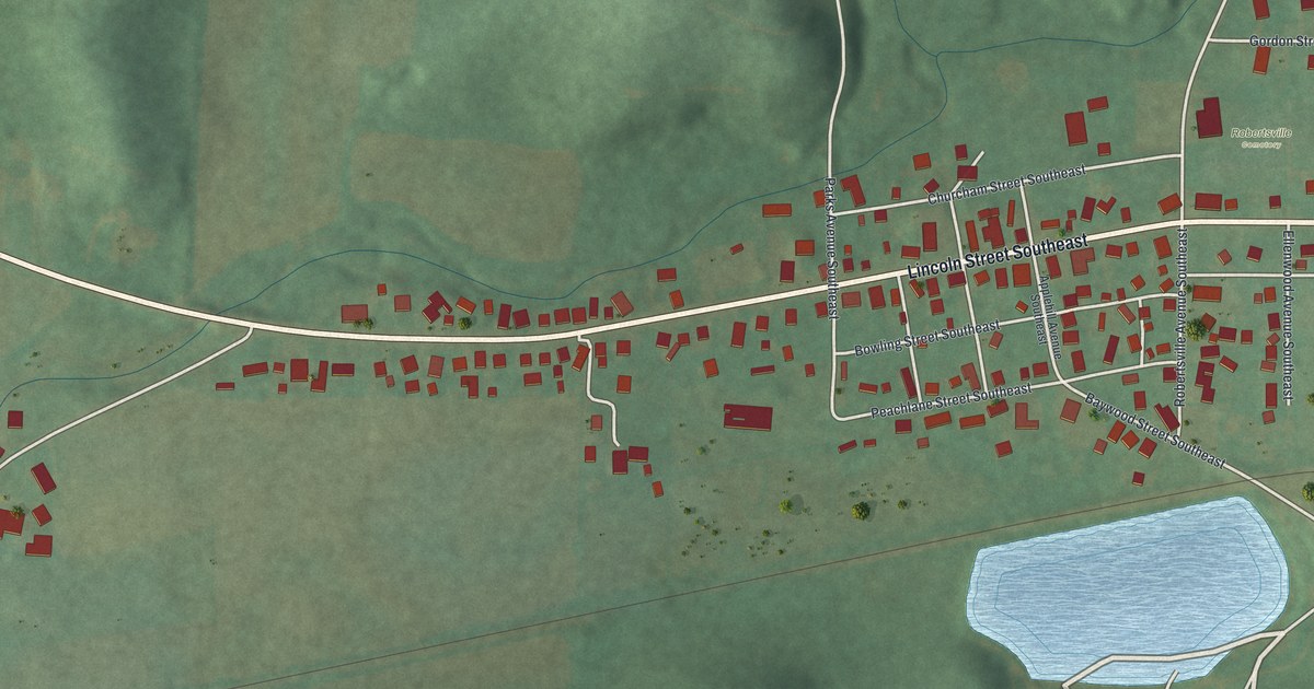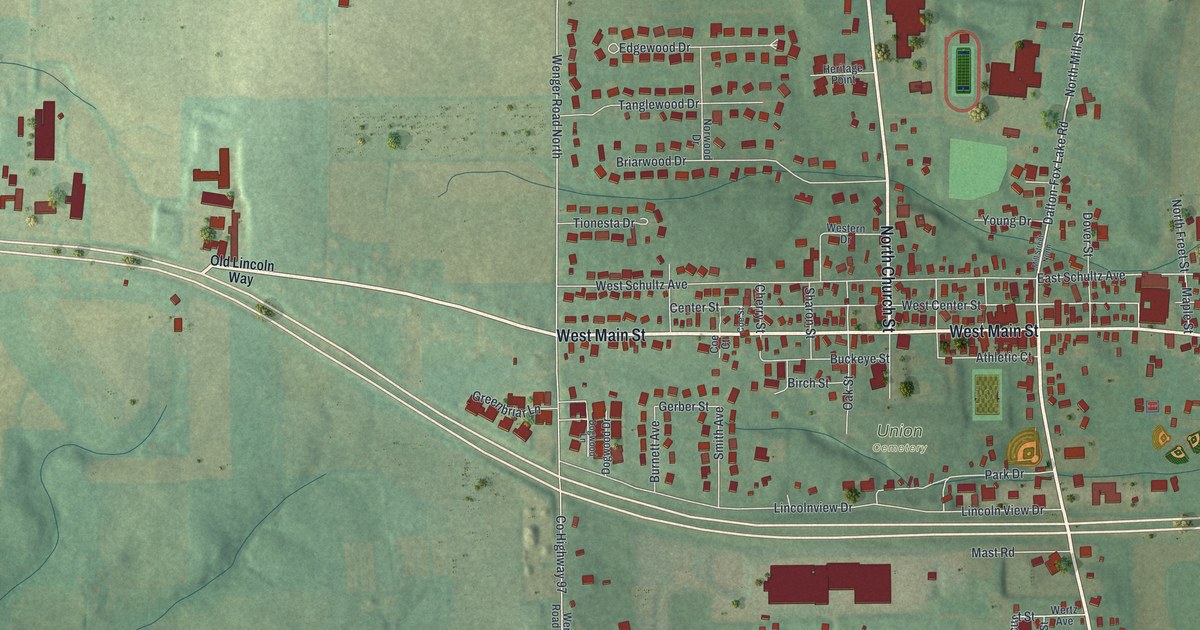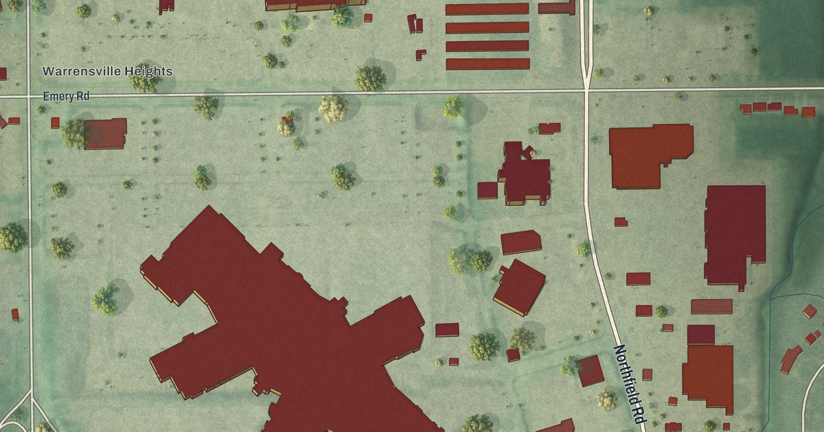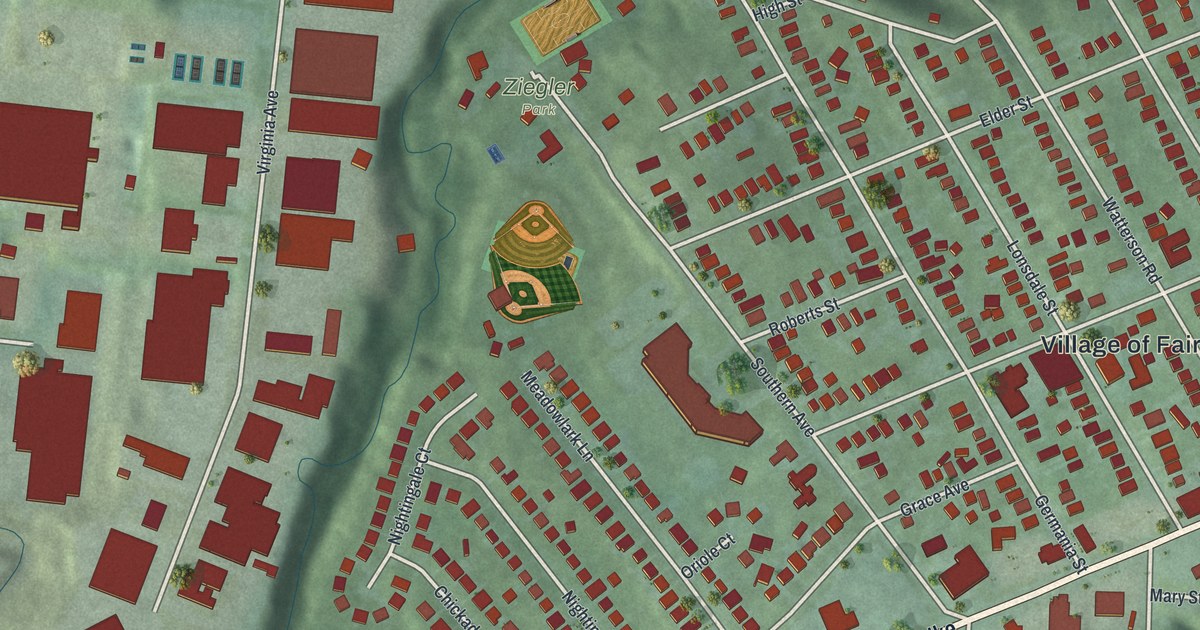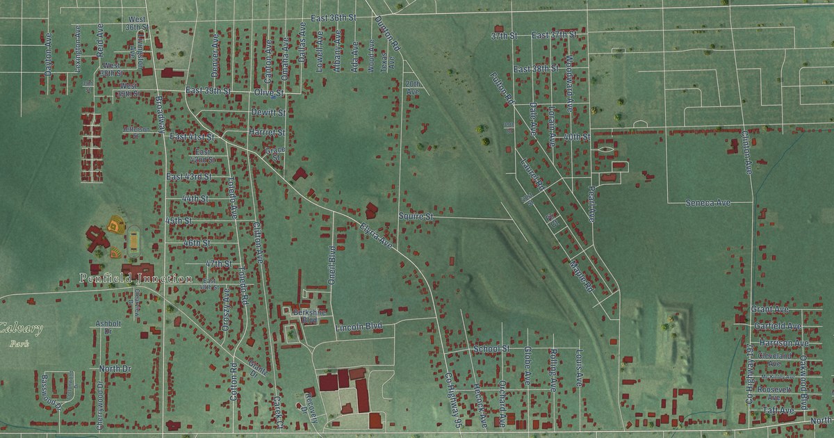
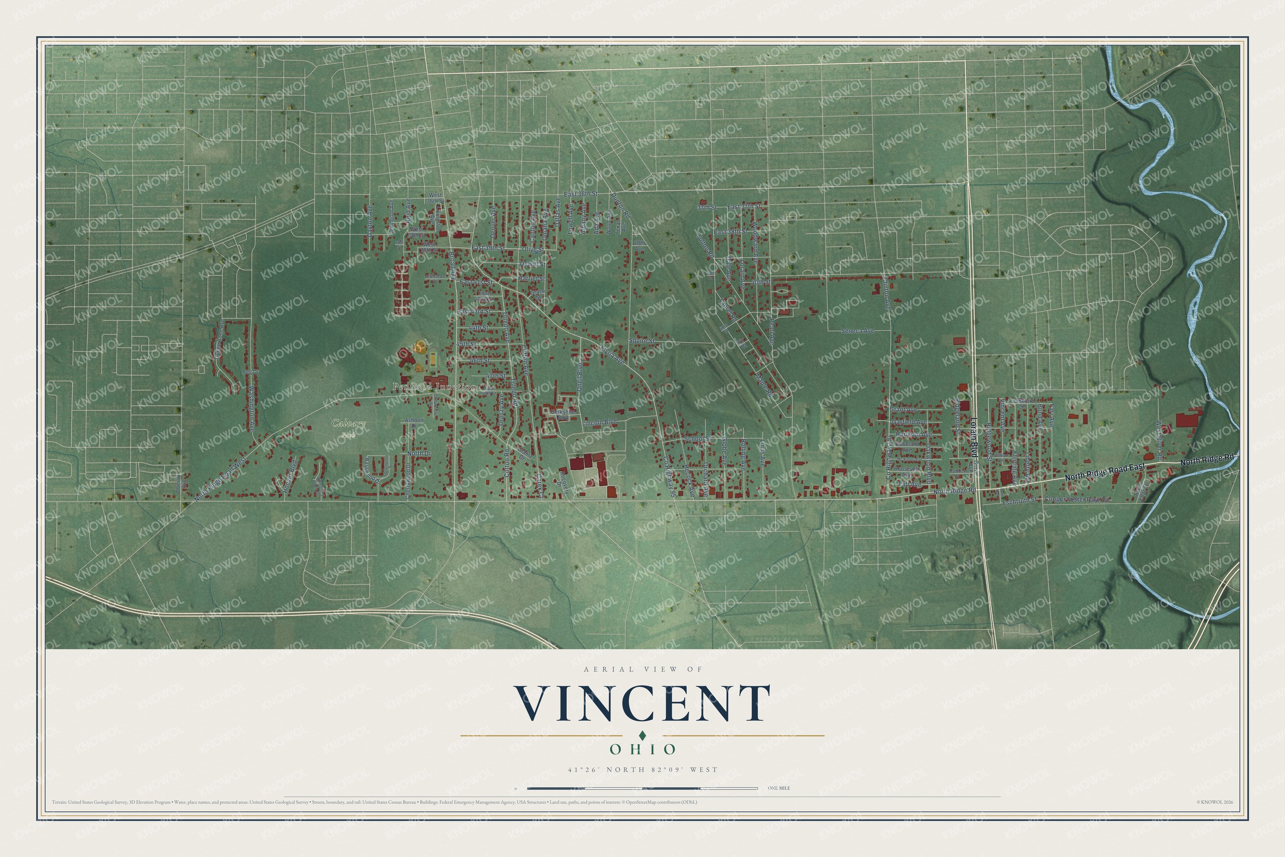
This beautifully detailed map of Vincent, Ohio was created in 2026 using aerial imagery combined with modern topographical, census, street and landmark data. It’s a one-of-a-kind view of Vincent that combines accurate data with a vintage aesthetic. The map shows every building in its true location, many of the roads carry their names, and the shaded topographic relief shows the shape of the land.
Explore an aerial view of Vincent, Ohio
On the map you’ll find Penfield Junction, Calvary Park, and Broadway, along with Lorain Boulevard, North Ridge Road, North Ridge Road East, Cotton Road, County Highway 95, North Ridge Road West, East 39th Street, Olive Street, North Drive, and more. If you look closely you can even find your house accurately drawn in its correct location. Zoom in on the preview to look for yours.
Did You Know?
From Internet Archive: "Thnothy M., pastor, Sc Vincent de Paul's Cathvlie church, res se cor Market and Maple Maier, Henry, stonomason, res 39 Wooster ave, ur city limits."
Vincent is a community in Lorain County.
Take a closer look at the Vincent map
Names on this map
These names are printed on this map.
Places: Penfield Junction and Calvary Park.
Streets and roads: Lorain Boulevard, North Ridge Road, North Ridge Road East, Broadway, Cotton Road, County Highway 95, North Ridge Road West, East 39th Street, Olive Street, North Drive, Elyria Avenue, Clifton Avenue.
More street names, A to Z
20th Avenue, 37th Street, 39th Court, 39th Street, 40th Street, 41st Street, 44th Street, 45th Street, 46th Street, 47th Street, Ada Avenue, Albany Avenue, Ashbolt Drive, Basswood Drive, Berkshire Boulevard, Bond Avenue, Canton Avenue, Carek Court, Cherrywood Drive, Clearview Drive, Cleveland Avenue, Clinton Avenue, Cooper Foster Park Road, Cottonwood Drive, County Highway 197, Dale Avenue, Dallas Avenue, Dayton Avenue, Denver Avenue, Dewitt Street, Dunton Road, Dute Avenue, East 36th Street, East 37th Street, East 38th Street, East 41st Street, East 42nd Street, East 43rd Street, East 48th Street, Eschtruth Street, Farr Avenue, Fir Court, Fleming Avenue, Frankford Street, Fulton Road, Garfield Avenue, Glantz Drive, Globe Avenue, Grace Street, Grant Avenue, Grove Avenue, Harriet Street, Harrison Avenue, Hecock Avenue, Hoover Boulevard, Jefferson Street, Laurel Road, Lexington Avenue, Liberty Avenue, Lincoln Boulevard, Livingston Avenue, Lorain Avenue, Louis Avenue, Lowell Avenue, Maddock Street, Maple Road, Mc Kinley Avenue, Oakwood Boulevard, Oberlin Avenue, Omaha Avenue, Oneil Boulevard, Orchard Avenue, Oroszy Avenue, Pearl Avenue, Peg Drive, Queen Anne Avenue, Recovery Drive, Reid Avenue, Ridgeland Street, Ridgewood Street, River Edge Drive, Rolling Avenue, Roosevelt Avenue, School Street, Seneca Avenue, Squire Street, Taft Avenue, Texas Avenue, Toledo Avenue, Toledo Road, Vincent Avenue, Washington Avenue, West 36th Street, West 38th Street, West 39th Street, West River Road, Whispering Pines Drive, Wilson Street, Wood Avenue, Woodward Avenue.
See it on a wall
The Vincent, Lorain County map as a framed print. Swipe for more.


This beautifully detailed map of Vincent, Lorain County makes an attractive addition to your office, library, or den, and it can even be used to teach children the geography and history of the area. It also makes a great gift for someone who left Vincent and still calls it home. When you’re done exploring, click here to get your copy of the Vincent, Lorain County map.