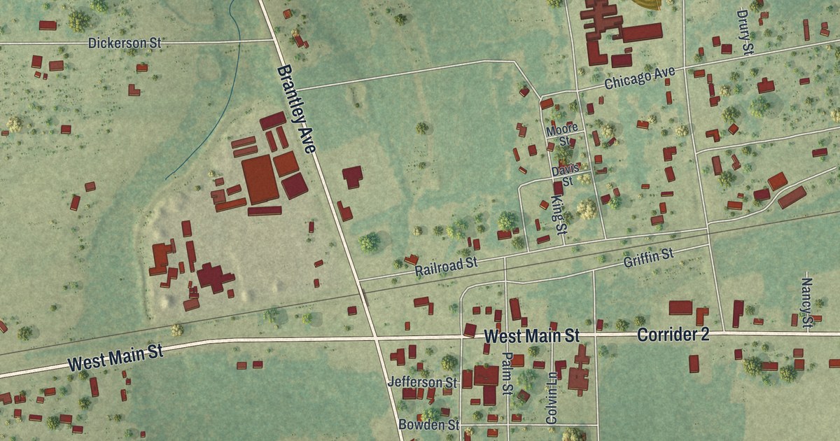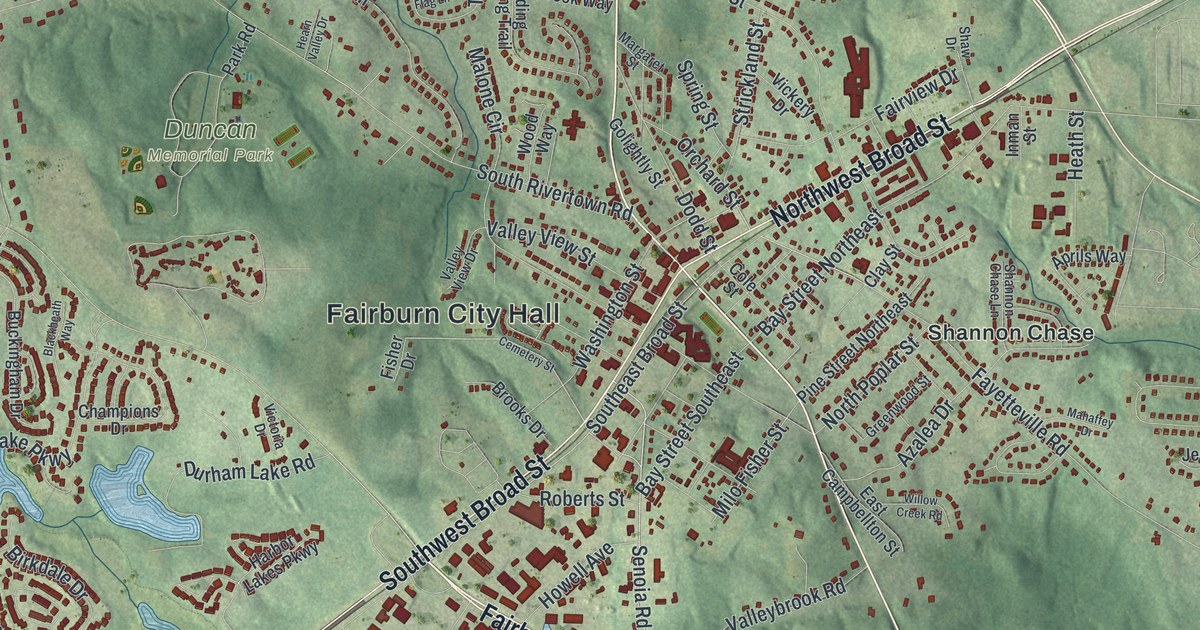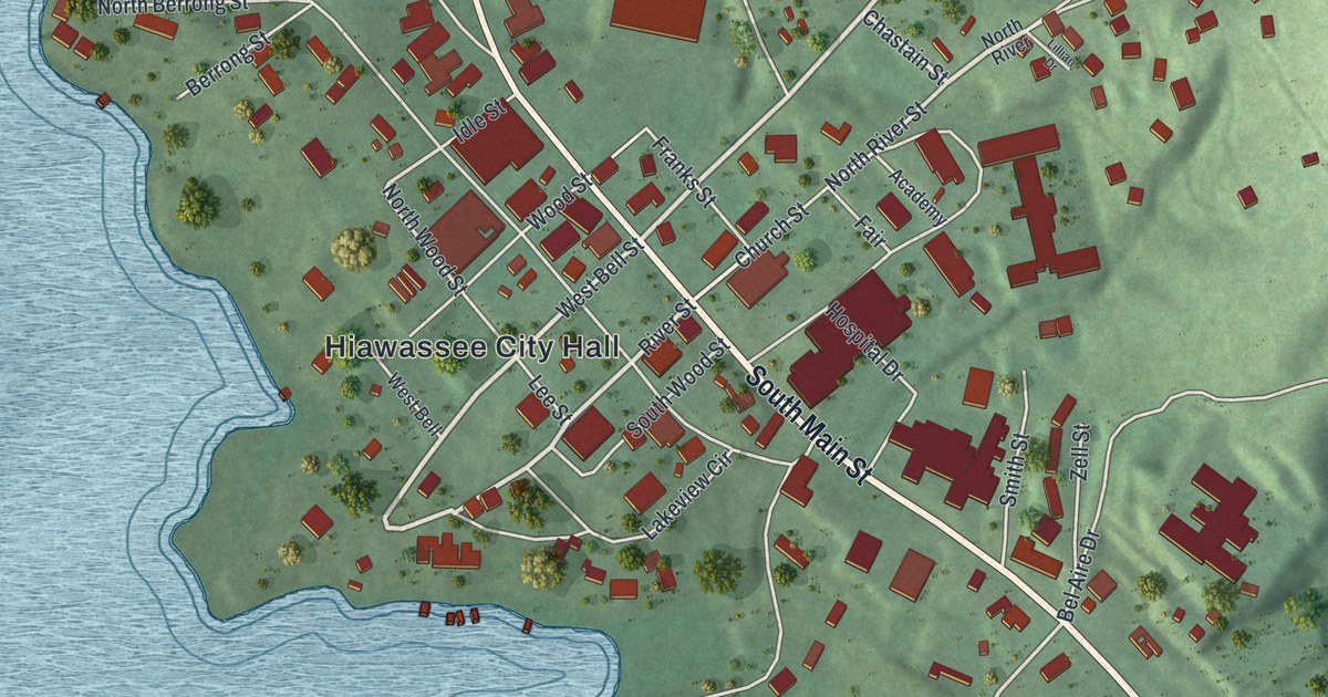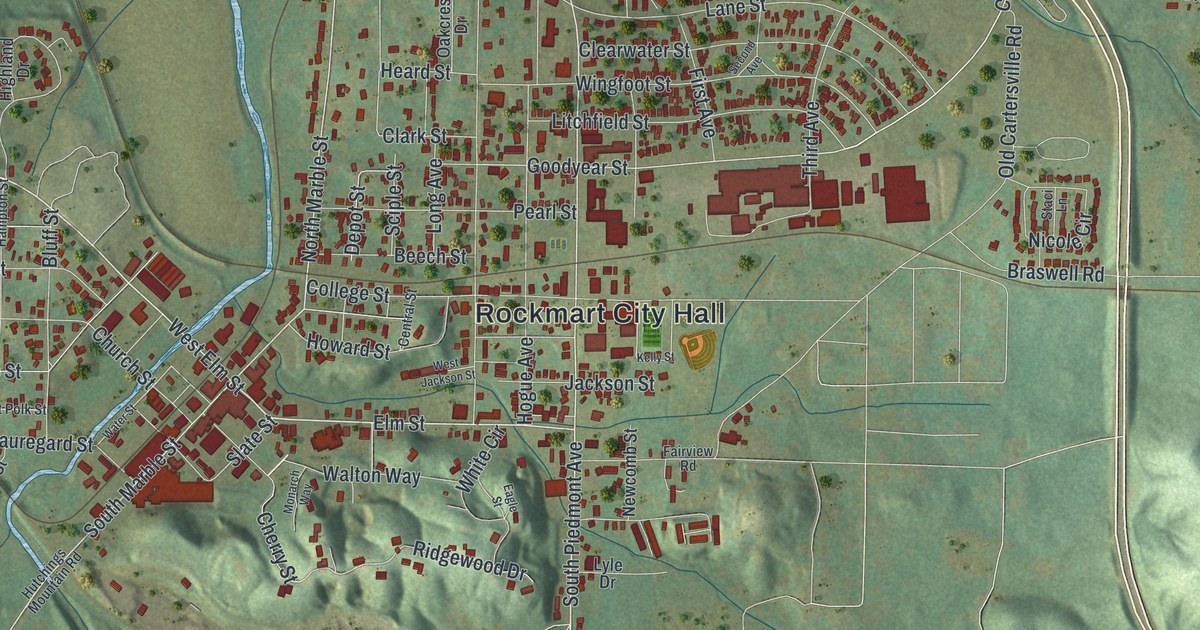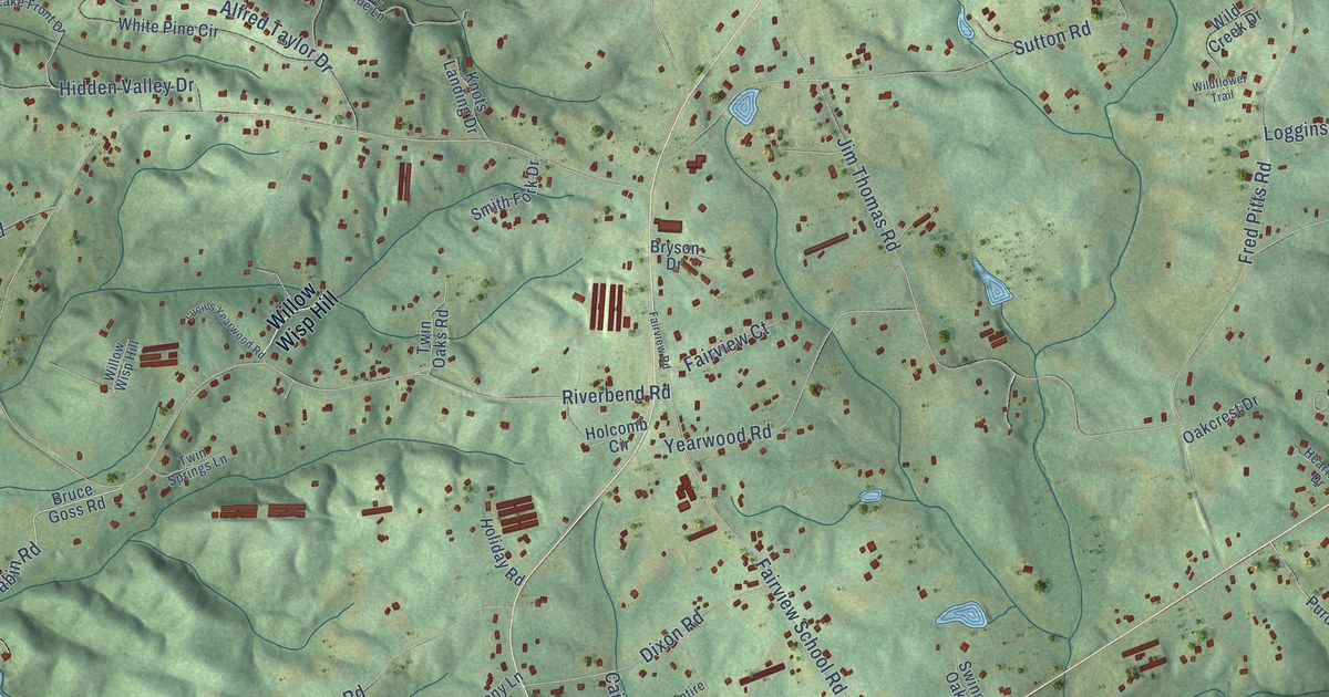
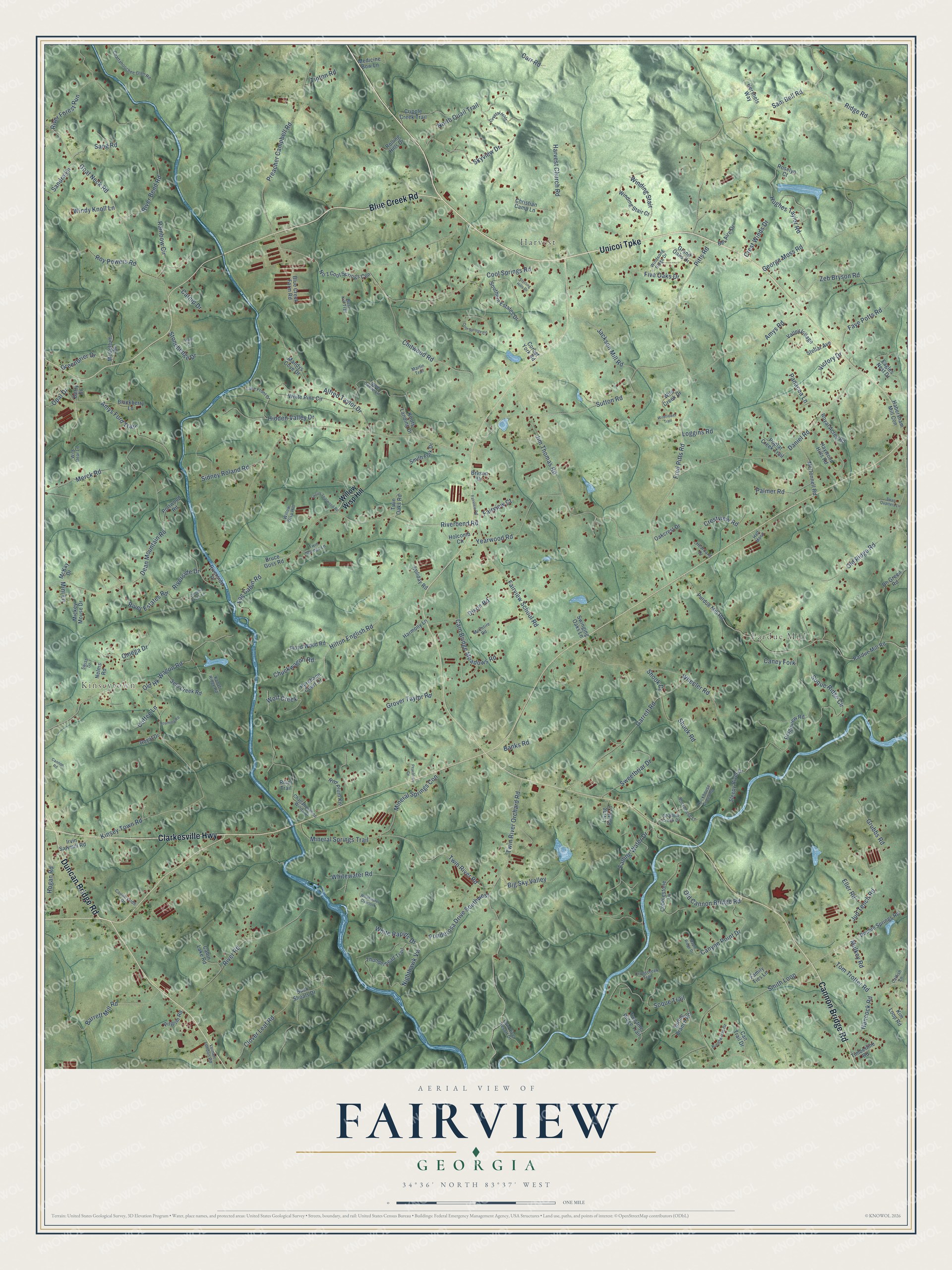
This beautifully detailed map of Fairview, Georgia was created in 2026 using aerial imagery combined with modern topographical, census, street and landmark data. It’s a one-of-a-kind view of Fairview that combines accurate data with a vintage aesthetic. The map shows every building in its true location, many of the roads carry their names, and the shaded topographic relief shows the shape of the land.
Explore an aerial view of Fairview, Georgia
On the map you’ll find Kinseytown, Harvest, and Pardue Mill, along with Unicoi Turnpike, Duncan Bridge Road, Clarkesville Highway, Cannon Bridge Road, Blue Creek Road, Cool Springs Road, Hancock Road, Twin River Road, Mulkey Road, and more. If you look closely you can even find your house accurately drawn in its correct location. Zoom in on the preview to look for yours.
Did You Know?
From Internet Archive: "Gwinnett Churches. 267 ''Alexander Luckie was also a prominent member of Fairview church who resided here, whose descendants are numerous in Atlanta, and after whom Luckie street in that city was named."
Fairview is a community in Habersham County.
Looking for a different Fairview? Georgia also has Fairview in Newton County.
Take a closer look at the Fairview map
Names on this map
These names are printed on this map.
Places: Kinseytown, Harvest and Pardue Mill.
Streets and roads: Unicoi Turnpike, Duncan Bridge Road, Clarkesville Highway, Cannon Bridge Road, Blue Creek Road, Cool Springs Road, Hancock Road, Twin River Road, Mulkey Road, Twin River Orchard Road, Wolf Creek, Nighthawk Vw.
More street names, A to Z
Alfred Taylor Drive, Amys Ford Trail, Amys Road, Banks Road, Barrett Mill Road, Bel Aire Drive, Berry Drive, Big Sky Valley, Blackberry Lane, Blue Creek Farm Road, Brentwood Drive, Bruce Goss Road, Bryson Drive, Buck Shoals Drive, Bush Kill Trail, Cabin Lake Road, Cain Bridge Meadows Road, Caney Fork, Cannon Road, Can Trail Drive, Canyon Point Drive, Carr Road, Catfish Lane, Catnip Drive, Chattahoochee Glen Road, Chattahoochee Winds Drive, Chitwood Road, Christian Camp Lane, Chuckwagon Road, Clover Leaf Road, Cobblestone Lane, Coffee Lane, Cool Springs Circle, Corbet York Road, Countryside Drive, Crestview Road, Crest Winds Drive, Cripple Creek Lane, Cripple Creek Trail, Crosscreek Trail, Crystal Hills, Daniel Road, Dean Mountain Road, Dh Green Road, Dixon Road, Double Springs Road, Eagles Nest Drive, Eller Road, Fairview Court, Fairview Road, Fairview School Road, Falling Water Drive, Family Ties Lane, Faye Potts Road, Five Oaks Drive, Floyd Wood Road, Fred Pitts Road, Garrett Road, George Moss Road, Goat Neck Road, Grand Oaks Drive, Greenbrier Drive, Grover Taylor Road, Grubbs Road, Habersham Mill Con, Half Moon, Harebane Court Drive, Harmony Lane, Harvest Church Road, Haywood Hills Road, Heartland Drive, Hershels Way, Hidden Valley Drive, Hilton English Road, Hogan Road, Holcomb Circle, Holiday Road, Hughes Taylor Road, Irvin Sawmill Road, Jackson Mill Road, Jim Thomas Road, Jud Tench Road, Kanati Ridge Road, Kim Loop Road, Kinsey Town Road, Knots Landing Drive, Lake Front Drive, Living Faith Lane, Log Cabin Road, Loggins Road, Lucius Yearwood Road, Mandys Cove Drive, Maple Ridge Drive, Martin Trail, McCollum Drive, McConnell Road, McEntire Road, McKay Drive, Medicine Bow Lane, Merck Road, Mickey Mouse Drive, Mineral Springs Con, Mineral Springs Trail, Mini Lane, Nelms Road, No 1 Cool Springs Con, North Quail Trail, Oakcrest Drive, Old Cannon Bridge Road, Old Hk Wagon Road, Old Ridge Road, Omega Drive, Opal Drive, Palmer Road, Panacea Lane, Pardue Mill Road, Peachtree Cv, Pilgrim Road, Pitts Road, Ponderosa Drive Southwest, Poplar Creek Trail, Portwood Road, Preacher Campbell Road, Purdue Mill Road, Rainbow Circle, Red Plum Knl, Ridge Road, Ridgeview Road, Riverbend Road, River Bend Road, River Estates Road, River Forest Run, River Road, Riverside Drive, Riverside Place, River Trail, Roaming Road, Rockhouse Crossing, Rockhouse Lane, Rolling Hills Drive, Roselyn Court, Royal Acres Road, Royal Drive, Roy Powers Road, Sam Bell Road, Sandra Lane, Sang Road, Selu Creek Road, Shallow Creek Drive, Shook Drive, Shook Road, Sidney Roland Road, Skyview Drive, Sleepy River Drive, Smith Fork Drive, Smith Loop, Soque Ridge Circle, Soque Trail, Southern Estates Drive, Spring Branch Road, Stellar Avenue, Sterling Hills Drive, Stone Circle, Stonehedge Drive, Sutton Road, Swan Quarters Lane, Sweetbriar Drive, Swinging Oaks Lane, Swiss Drive, Thunderhead Trail, Timberline Road, Tippie Canoe Lane, Tipton Road, Tom Trotter Road, Twin Oaks Road, Twin River Resort Drive, Twin Springs Lane, Twisting Ridge Trail, Valley Village, Vernon London Road, Victory Drive, Wheeler Road, White Pine Circle, White Rapids Drive, Whitewater Overlook, Whitewater Road, Wild Bear Lane, Wild Creek Drive, Wildflower Trail, Willow Wisp Hill, Winding Stair, Winding Stair Court, Windsong Ridge Drive, Windy Knoll Lane, Yearwood Road, Zeb Bryson Road.
See it on a wall
The Fairview, Habersham County map as a framed print. Swipe for more.


This beautifully detailed map of Fairview, Habersham County makes an attractive addition to your office, library, or den, and it can even be used to teach children the geography and history of the area. It also makes a great gift for anyone who grew up in Fairview or moved away. When you’re done exploring, click here to get your copy of the Fairview, Habersham County map.