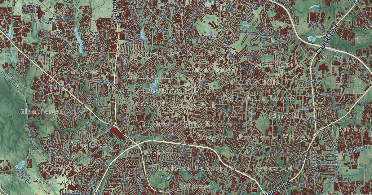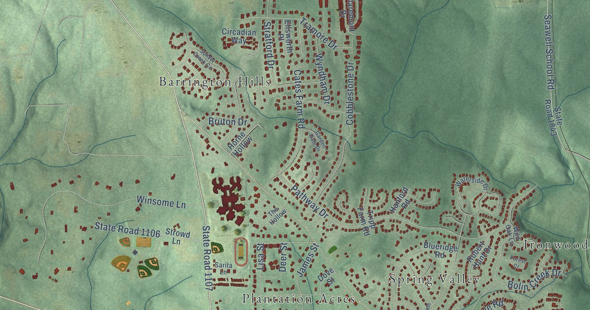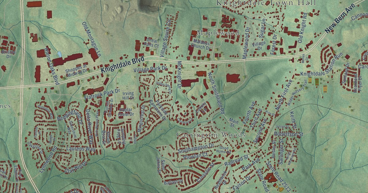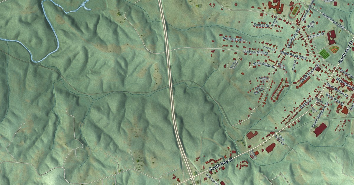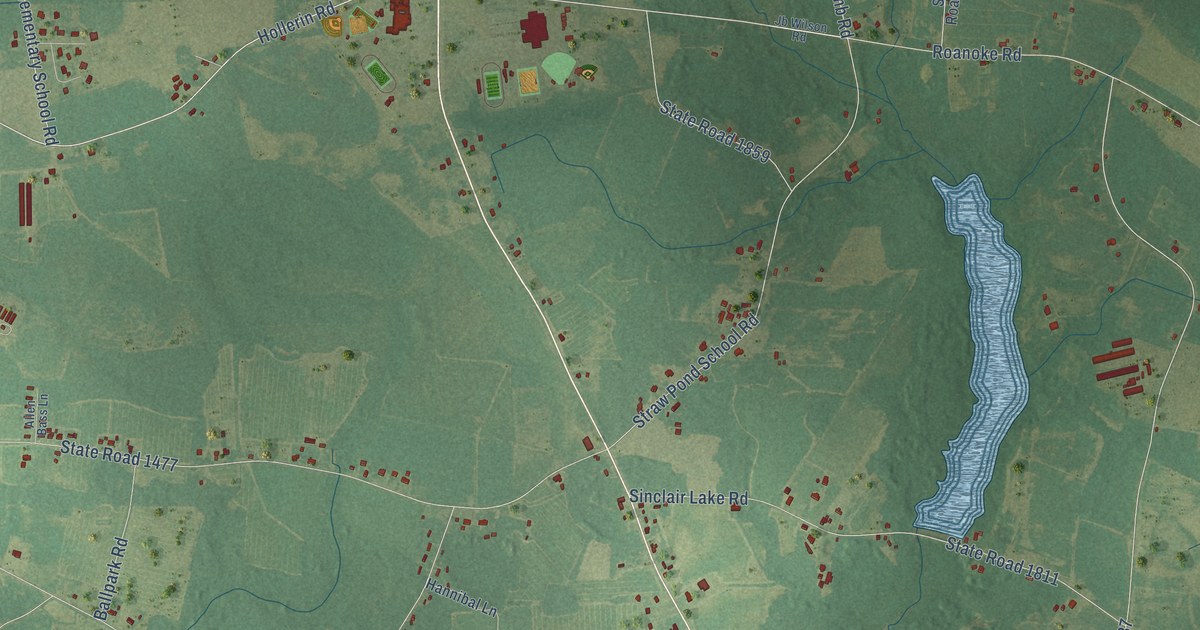
This beautifully detailed map of Midway, North Carolina was created in 2026 using aerial imagery combined with modern topographical, census, street and landmark data. It’s a one-of-a-kind view of Midway that combines accurate data with a vintage aesthetic. The map shows every building in its true location, many of the roads carry their names, and the shaded topographic relief shows the shape of the land.
Explore an aerial view of Midway, North Carolina
On the map you’ll find Plain View Highway, Spiveys Corner Highway, Newton Grove Highway, North Salemburg Highway, Fayetteville Highway, State Road 1475, Hollerin Road, Wash McLamb Road, Midway Elementary School Road, State Road 1476, State Road 1809, State Road 1456, and more. If you look closely you can even find your house accurately drawn in its correct location. Zoom in on the preview to look for yours.
Take a closer look at the Midway map
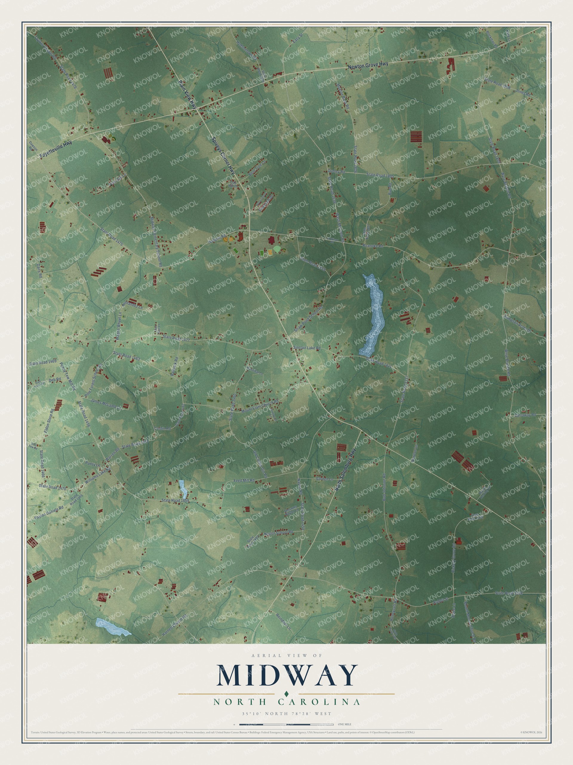
Names on this map
These names are printed on this map.
Streets and roads: Plain View Highway, Spiveys Corner Highway, Newton Grove Highway, North Salemburg Highway, Fayetteville Highway, State Road 1475, Hollerin Road, Wash McLamb Road, Midway Elementary School Road, State Road 1476, State Road 1809, State Road 1456.
More street names, A to Z
Allen Bass Lane, Ballpark Road, Bent Tree Lane, Blackman Road, Blaze Lane, Bud Johnson Road, Bud Road, Carraway Road, Corbin Road, Dairy Road, Dawson Road, Deb Road, Dudley Road, Easy Street, Eldon Store Road, Feed Mill Road, Garden Lane, Hannibal Lane, Harnett Church Road, Hernandez Lane, Hickory Grove Road, Honeycutt Road, Hudsontown Road, James McLamb Lane, Jb Wilson Road, Jones Road, Katie Lane, Knollwood Lane, Maxton Bass Road, Moore Herring Lane, Mount Elam Church Road, Mount Moriah Church Road, Naylor Road, Naylor School Road, Newton Lane, Oak Hill Drive, Old Cotton Gin Road, Ottis Tew Road, Pansy Lane, Payton Daniels Road, Penny Tew Mill Road, Pinecroft Drive, Pine Forest School Road, Pine Oak Lane, Rabbit Street, Reindeer Lane, Roanoke Road, Sampson Acres Drive, Sessoms Naylor Lane, Sinclair Lake Road, State Road 1325, State Road 1336, State Road 1337, State Road 1338, State Road 1455, State Road 1458, State Road 1459, State Road 1460, State Road 1461, State Road 1462, State Road 1463, State Road 1466, State Road 1468, State Road 1469, State Road 1470, State Road 1477, State Road 1493, State Road 1634, State Road 1636, State Road 1805, State Road 1806, State Road 1807, State Road 1808, State Road 1811, State Road 1859, Straw Pond School Road, Taylors Chapel Road, Wagon Wheel Lane, Warren Road, Williams Lake Road, Woods Edge Drive, Wrye Branch Road, Wyre Branch Road.
See it on a wall
The Midway, Sampson County map as a framed print. Swipe for more.


This beautifully detailed map of Midway, Sampson County makes an attractive addition to your office, library, or den, and it can even be used to teach children the geography and history of the area. It also makes a great gift for anyone who grew up in Midway or moved away. When you’re done exploring, click here to get your copy of the Midway, Sampson County map.