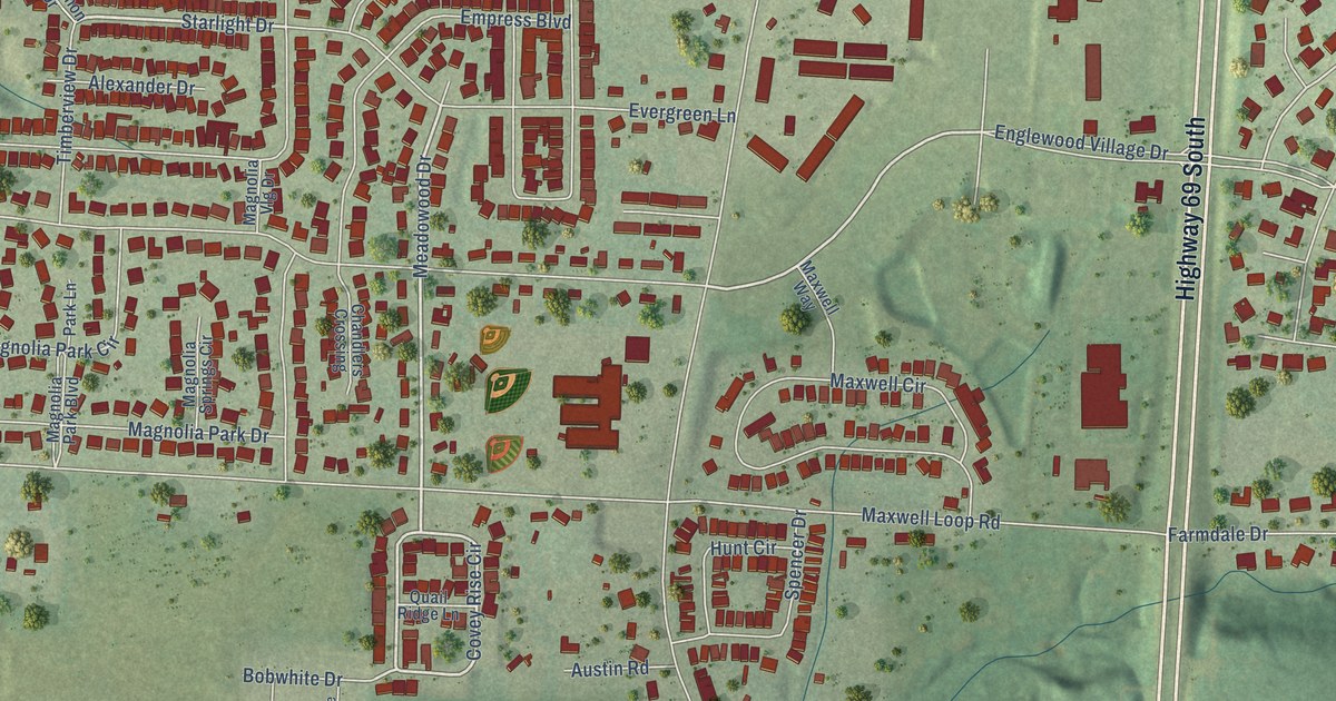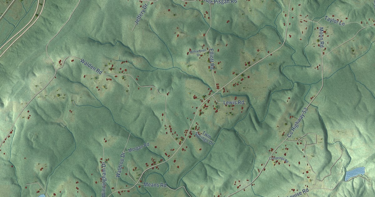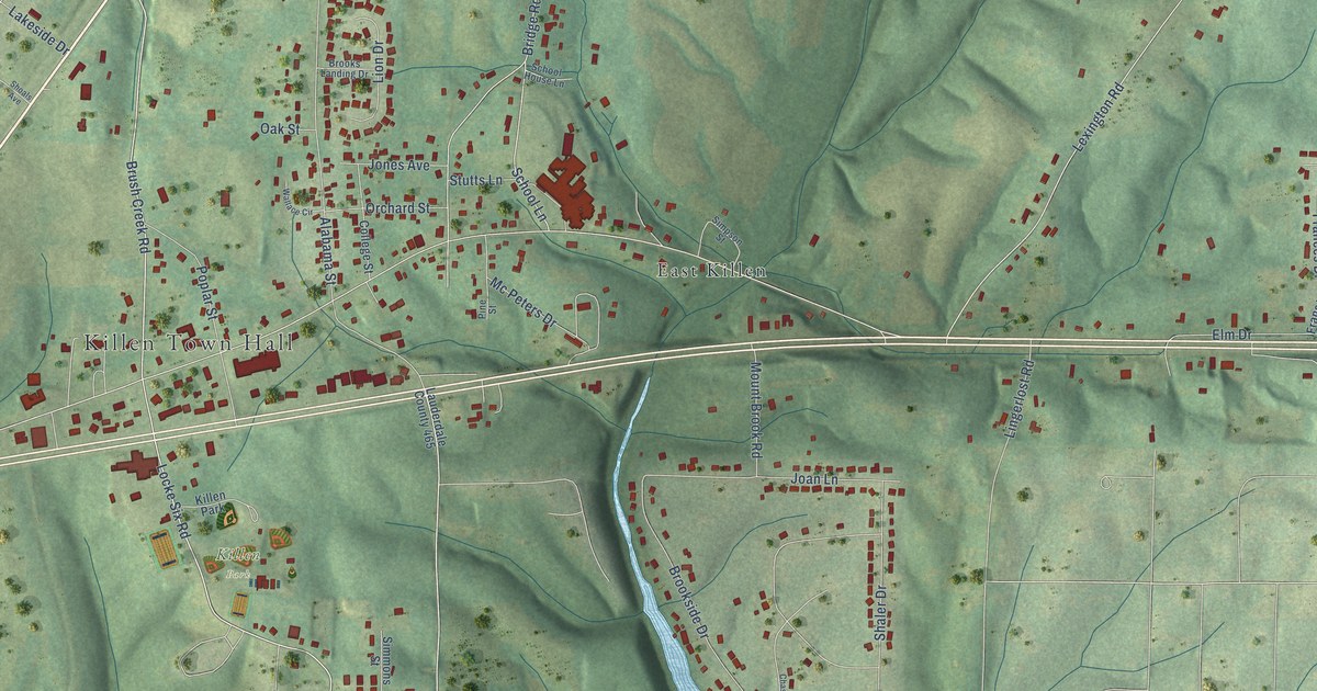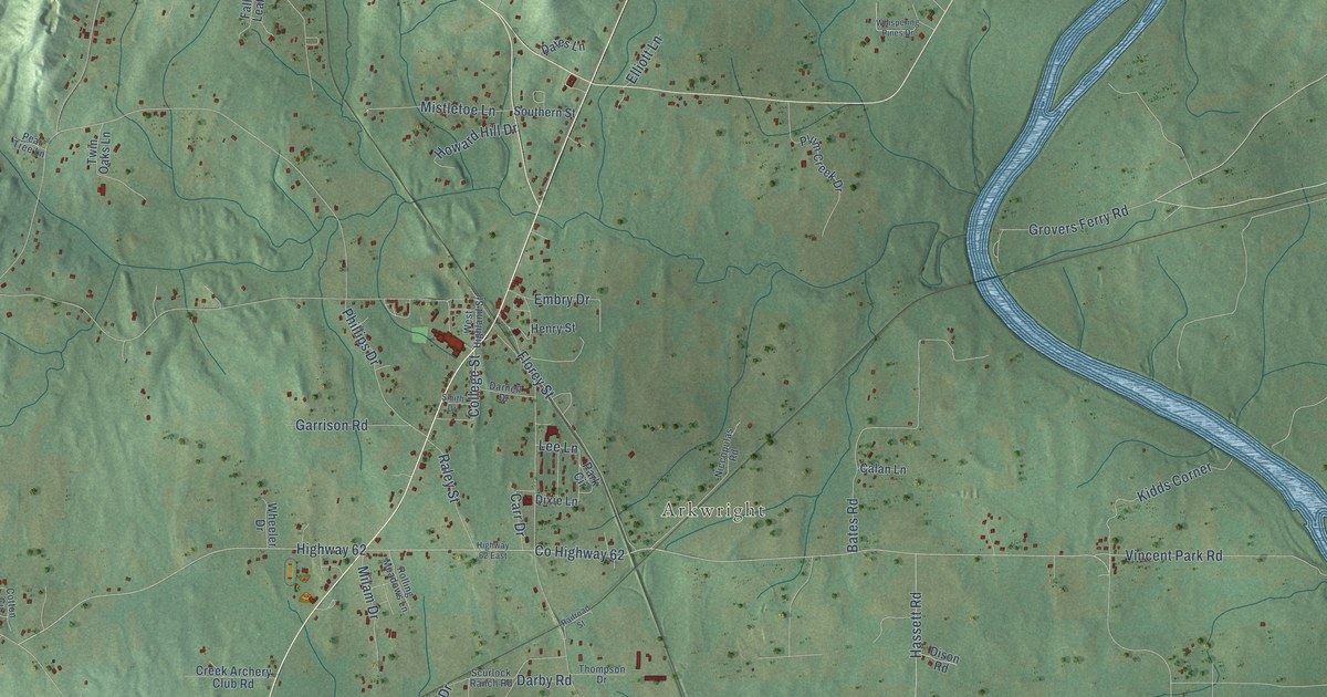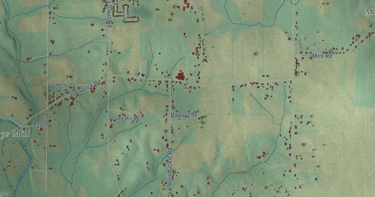
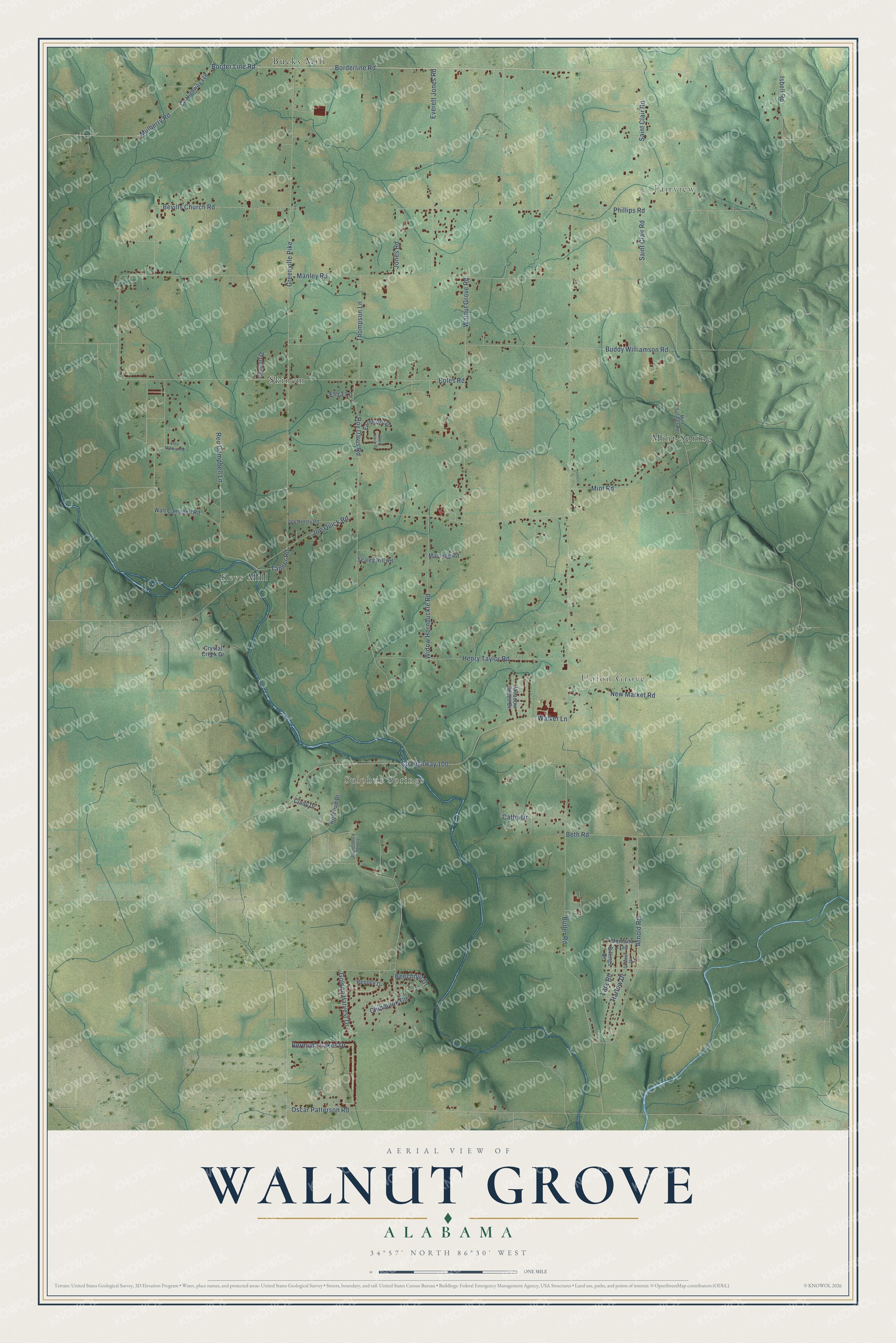
This beautifully detailed map of Walnut Grove, Alabama was created in 2026 using aerial imagery combined with modern topographical, census, street and landmark data. It’s a one-of-a-kind view of Walnut Grove that combines accurate data with a vintage aesthetic. The map shows every building in its true location, many of the roads carry their names, and the shaded topographic relief shows the shape of the land.
Explore an aerial view of Walnut Grove, Alabama
On the map you’ll find Fairview, Sulphur Springs, Union Grove, Bucks Mill, Skinem, Mint Spring, and Keys Mill, along with Borderline Road, Tanner Road, Butler Road, Manley Road, and more. If you look closely you can even find your house accurately drawn in its correct location. Zoom in on the preview to look for yours.
Did You Know?
From Internet Archive: "The Etowah Baptist Association met in its eighth annual session with Walnut Grove church, Walnut Grove, Ala., on Tuesday, September 1, 1891."
Walnut Grove is a community in Madison County.
Take a closer look at the Walnut Grove map
Names on this map
These names are printed on this map.
Places: Fairview, Sulphur Springs, Union Grove, Bucks Mill, Skinem, Mint Spring and Keys Mill.
Streets and roads: Borderline Road, Border Line Road, Tanner Road, Butler Road, Manley Road, Joe Quick Road, Greenville Pike, County Highway 100, Boles Road, Phillips Road, Walker Lane, Walnut Grove Road.
More street names, A to Z
Arnold Road, Beechnut Drive, Bermuda Lakes Drive, Beth Road, Bevills Church Road, Billings Drive, Buddy Williamson Road, Cathy Drive, Charley Patterson Road, Chipmunk Circle, Cindy Drive, Comfort Drive, County Highway 118, Cramer Drive, Crystal Creek Drive, Dea Thomas Road, Dee Neeley Road, Earnhardt Drive, Eliza Lane, Everett Jones Road, Golden Harvest Drive, Harlow Drive, Henry Taylor Road, Isbell Road, Jones Road, Lark Road, Manning Road, Meadow Green Drive, Mint Road, Mint Springs Road, Montana Trail, Mulberry Road, New Market Road, Oscar Patterson Road, Red Campbell Lane, Reeney Drive, Rosebud Drive, Roy Davis Road, Saint Clair Road, Sealey Hill Road, Short Track Drive, Thompson Lane, Walt Campbell Road, Widow Hornbuckle Road.
See it on a wall
The Walnut Grove, Madison County map as a framed print. Swipe for more.


This beautifully detailed map of Walnut Grove, Madison County makes an attractive addition to your office, library, or den, and it can even be used to teach children the geography and history of the area. It also makes a great gift for anyone with Walnut Grove roots. When you’re done exploring, click here to get your copy of the Walnut Grove, Madison County map.