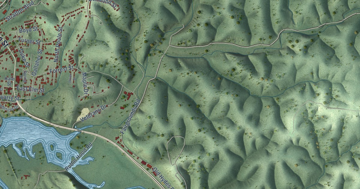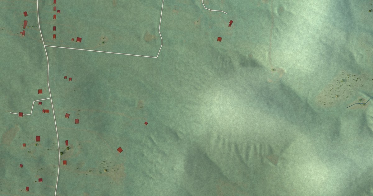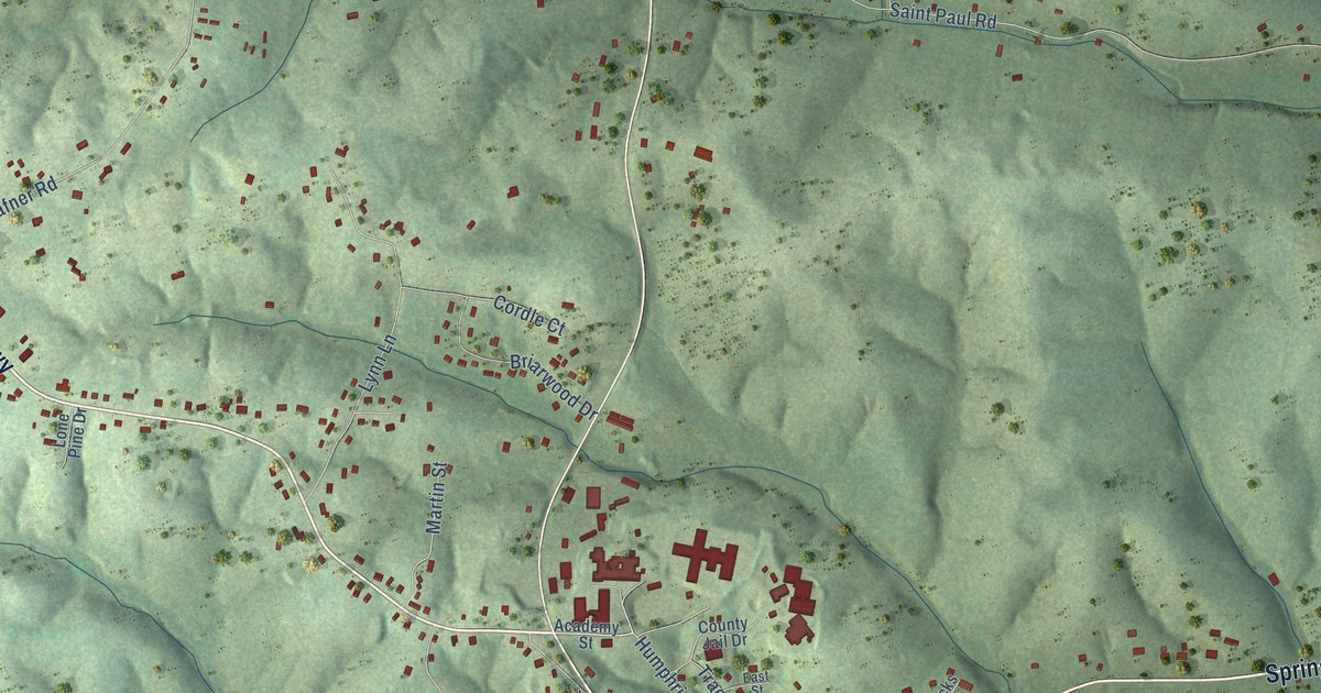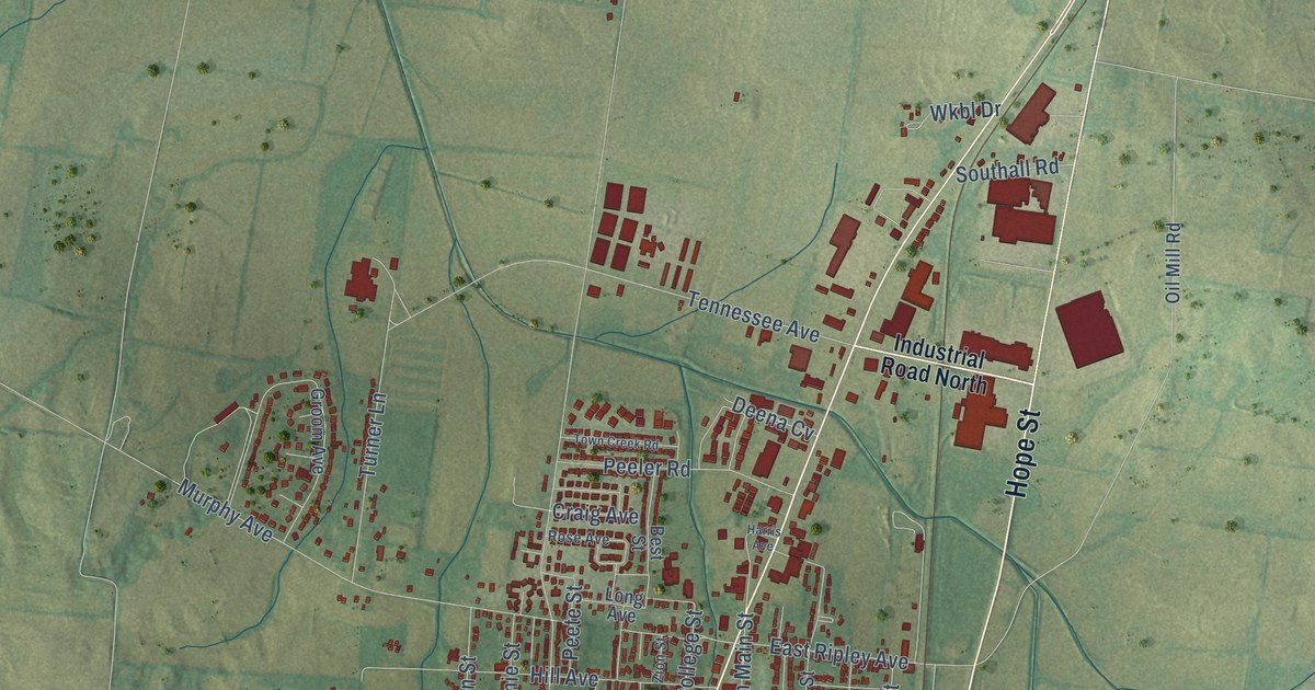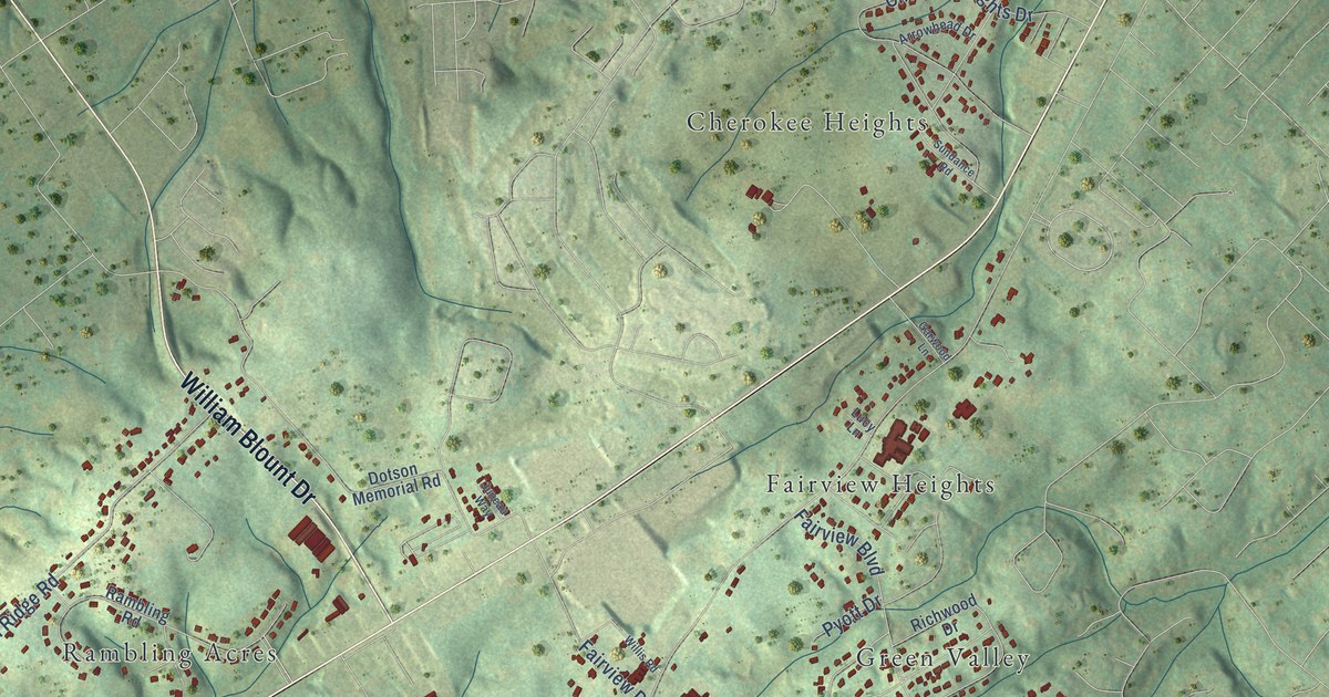
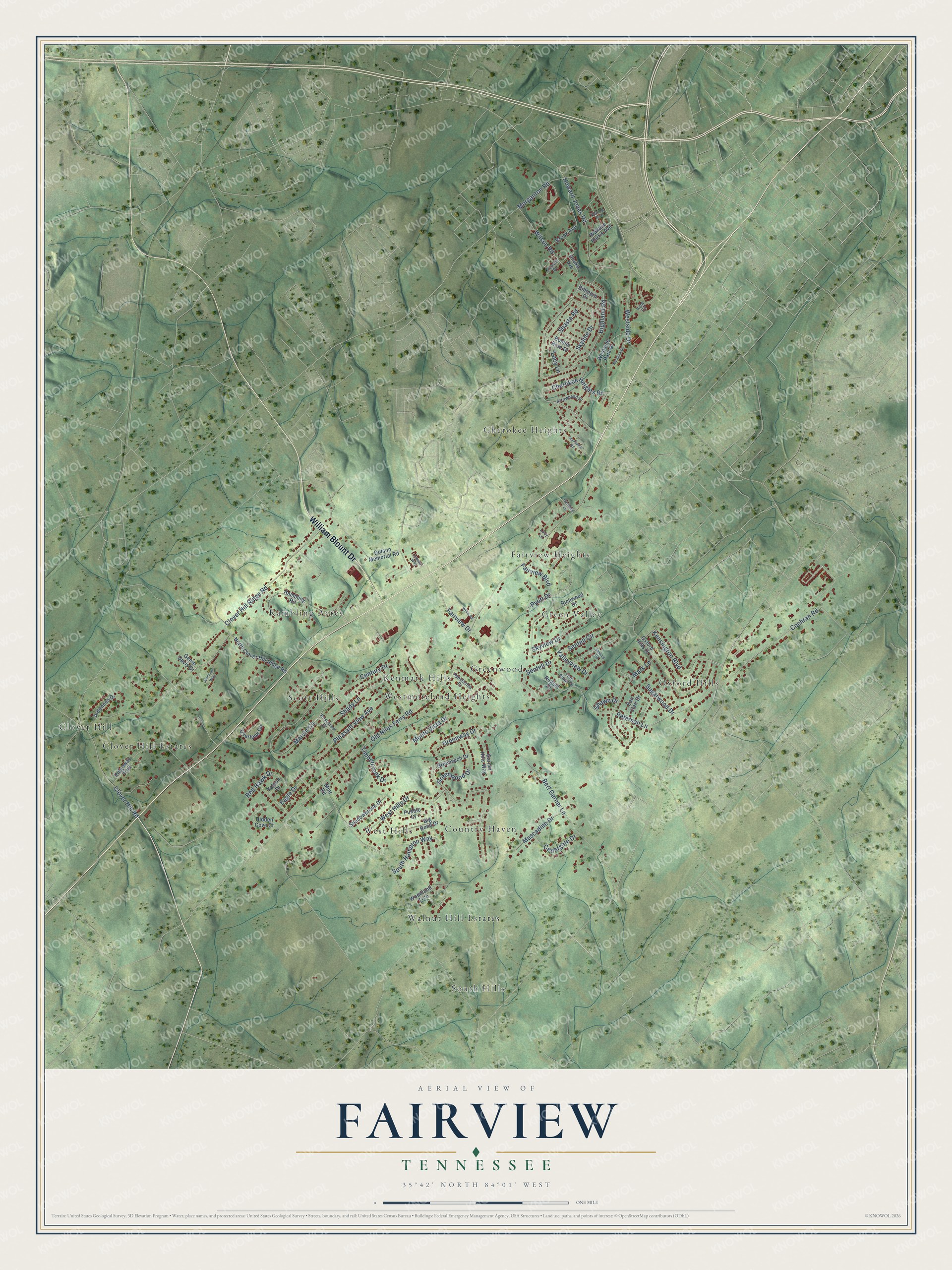
This beautifully detailed map of Fairview, Tennessee was created in 2026 using aerial imagery combined with modern topographical, census, street and landmark data. It’s a one-of-a-kind view of Fairview that combines accurate data with a vintage aesthetic. The map shows every building in its true location, many of the roads carry their names, and the shaded topographic relief shows the shape of the land.
Explore an aerial view of Fairview, Tennessee
On the map you’ll find Kenmark Hills, Cherokee Heights, South Hills, Clover Hill, Oxford Hills, Country Haven, Fairview Heights, Scott Hills, West Hills, Rambling Acres, Walnut Hill Estates, Green Valley, and more. If you look closely you can even find your house accurately drawn in its correct location. Zoom in on the preview to look for yours.
Did You Know?
From Internet Archive: "The school is one of three white public schools in the Seventh District, one of which is at Sylvia Mills, and the other at Fairview."
Fairview is a community in Blount County.
Take a closer look at the Fairview map
Names on this map
These names are printed on this map.
Places: Kenmark Hills, Cherokee Heights, South Hills, Clover Hill, Oxford Hills, Country Haven, Fairview Heights, Scott Hills, West Hills, Rambling Acres, Walnut Hill Estates, Green Valley, Westmoreland Heights, Clover Hill Estates and Greenwood.
Streets and roads: William Blount Drive, Cochran Road, Old Niles Ferry Road, Clover Hill Ridge Road, Peterson Lane, Bert Garner Lane, Highland Road, Marvin Circle, Cherokee Heights Drive, Howard Jones Road, Mark Lane, Sentell Circle.
More street names, A to Z
Appalachia Drive, Ardennes Drive, Arrowhead Drive, Big Bend Drive, Biltmore Drive, Bonnie Brae Drive, Brook Avenue, Cedargate Drive, Century Drive, Clover Hill Road, Creason Drive, Dotson Memorial Road, Eagle Drive, Eau Clair Drive, Fairview Boulevard, Fairview Drive, Falcon Drive, Garner Hills Way, Garwood Lane, Genie Davis Drive, Greenway Drive, Greenwich Drive, Greenwood Drive, Hidden Cove Court, Jessicas Way, Juneau Way, Kensington Boulevard, King Circle, Lacy Lane, Lucy Lane, Mint Road, Monte Vista Drive, Morganton Road, Muscadine Drive, Nandina Drive, North Clover Hill Ridge Road, Overlook Circle, Oxford Hills Drive, Pleasant View Avenue, Pueblo Court, Pyott Drive, Rambling Road, Red Hawk Drive, Regent Court, Richwood Drive, Ridgeway Trail, Rosecrest Drive, Sentell Drive, Shadowbrook Drive, Shady Lane, Shasta Road, Shawn Drive, Shields Road, Skyline Drive, Skyview Drive, South Hampton Way, Sugarwood Drive, Sundance Road, Timbercreek Drive, Trail Ridge Drive, Unaka Avenue, Valleyview Drive, Venice Avenue, Wallace Harris Avenue, West Hills Drive, Westside Drive, Westside Park Drive, Willis Road, Wilson Road, Woodland Trce.
See it on a wall
The Fairview, Blount County map as a framed print. Swipe for more.


This beautifully detailed map of Fairview, Blount County makes an attractive addition to your office, library, or den, and it can even be used to teach children the geography and history of the area. It also makes a great gift for anyone who grew up in Fairview or moved away. When you’re done exploring, click here to get your copy of the Fairview, Blount County map.