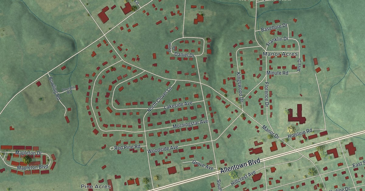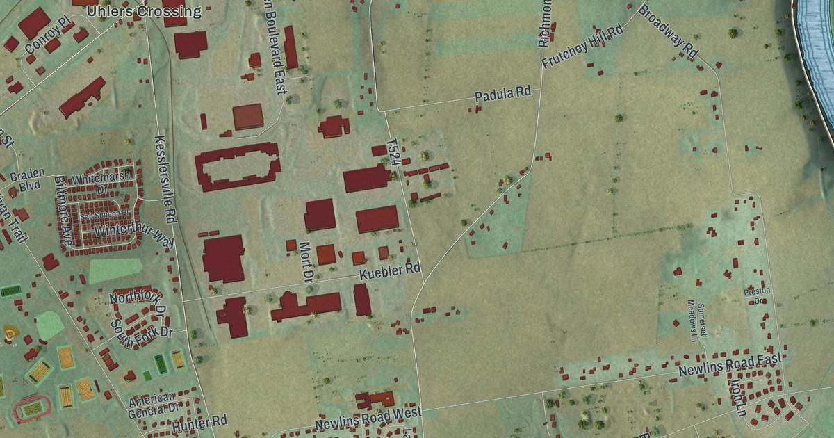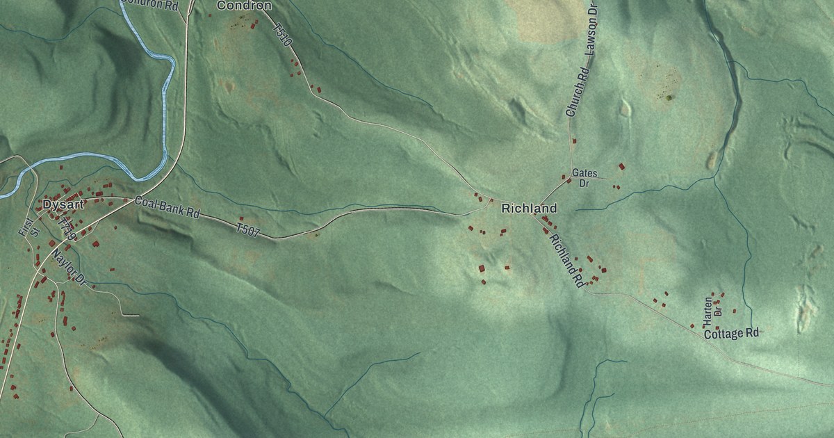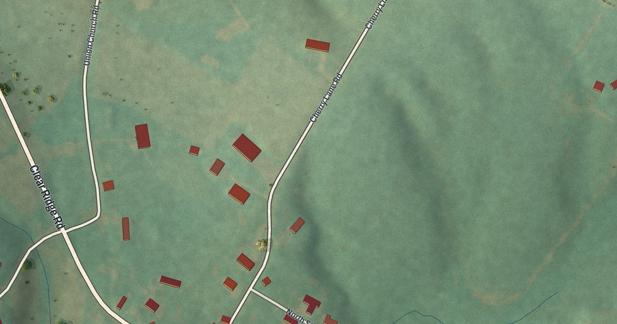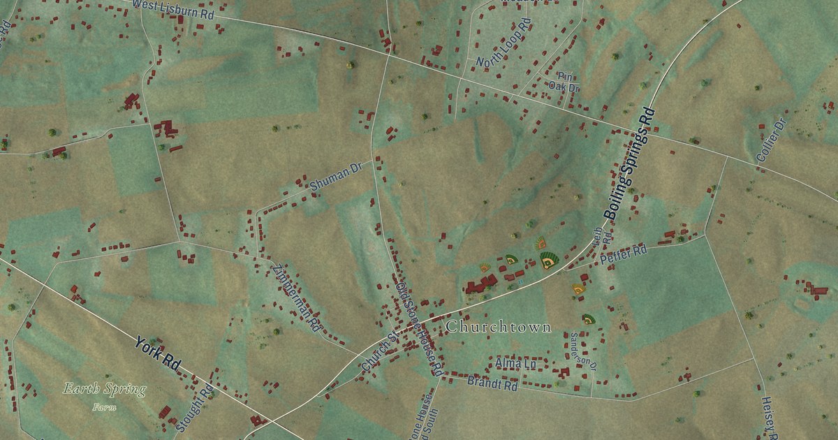
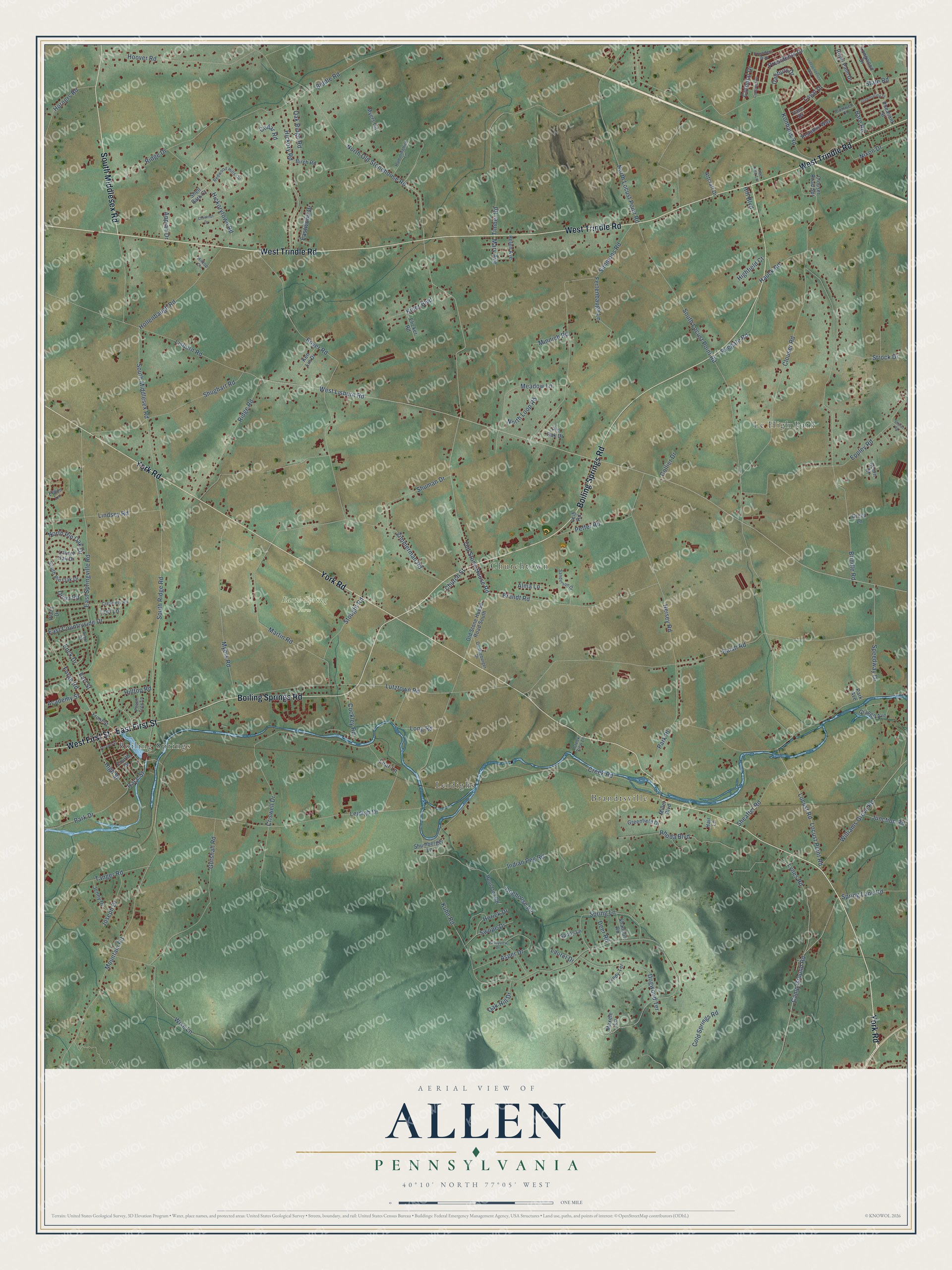
This beautifully detailed map of Allen, Pennsylvania was created in 2026 using aerial imagery combined with modern topographical, census, street and landmark data. It’s a one-of-a-kind view of Allen that combines accurate data with a vintage aesthetic. The map shows every building in its true location, many of the roads carry their names, and the shaded topographic relief shows the shape of the land.
Explore an aerial view of Allen, Pennsylvania
On the map you’ll find Earth Spring Farm, Le High Park, Brandtsville, Churchtown, Leidighs, and Boiling Springs, along with York Road, West Trindle Road, East First Street, Boiling Springs Road, South Middlesex Road, West First Street, and more. If you look closely you can even find your house accurately drawn in its correct location. Zoom in on the preview to look for yours.
Did You Know?
From Internet Archive: "Charles Blair and Samuel Allen settled in the same neighborhood with those alreadv mentioned, the two coming together in 1799."
Allen is a community in Cumberland County.
Take a closer look at the Allen map
Names on this map
These names are printed on this map.
Places: Earth Spring Farm, Le High Park, Brandtsville, Churchtown, Leidighs and Boiling Springs.
Streets and roads: York Road, West Trindle Road, East First Street, Boiling Springs Road, South Middlesex Road, West First Street, High Street, Lynes Road, Old Stone House Road, Race Street, West Lisburn Road, North Locust Point Road.
More street names, A to Z
Academy Street, Acorn Court, Alma Lane, Appian Drive, Arbor Drive, Artcraft Drive, Asper Drive, Baish Road, Bare Road, Biddle Road, Birch Road, Boyer Road, Brandt Road, Brindle Road, Camp Ground Road, Cedar Road, Chestnut Drive, Church Street, Clouser Road, Clouser Road Spr, Cockley Road, Cold Springs Road, Collier Drive, Colonial Drive, Congress Drive, Creamery Road, Creek Road, Creek View Lane, Criswell Drive, Cromwell Court, Danbury Drive, Deer Road, Doghouse Road, Dogwood Terrace, Dunkleburger Drive, Earl Street, East Countryside Drive, East Springville Road, Eastwood Drive, Eldon Lane, Elicker Road, Enck Drive, Eppley Road, Fertenbaugh Lane, Forge Road, Founders Way, Fourth Street, Front Street, Grange Avenue, Greenfield Drive, Green Lane, Greenspring Drive, Gutshall Road, Hair Lane, Hauck Road, Heisey Road, Helen Avenue, Hickory Road, Hickorytown Road, Highfield Court, Hill Boulevard, Hilltop Circle, Hilltop Road, Hollenbaugh Road, Hoot Owl Road, Hoover Road, Horick Drive, Horners Road, Hummingbird Lane, Independence Way, Indian Peg Road, Jenny Drive, Joseph Drive, Junction Road, Ken Lin Drive, Kiner Boulevard, Konhaus Road, Kuhn Road, Laurel Drive, Laurel Oak Drive, Lear Lane, Lee Ann Lane, Leib Road, Leidigh Drive, Lindsey Road, Lindy Terrace, Lisburn Road, Locust Point Road, Locust Road, Long Road, Longwood Drive, Lori Lane, Loyal Drive, Lutztown Road, Martin Road, Mary Avenue, Maxele Lane, Meadow Lane, Miller Boulevard, Minnich Road, Mountain Road, Myers Circle, Myers Road, Nixon Drive, North Loop Road, North Old Stonehouse Road, North Pin Oak Drive, Oak Hill Drive, Oak Ridge Road, Old Stone House Road South, Orion Road, Park Avenue, Park Drive, Park Place, Peach Tree Lane, Peffer Road, Pheasant Street, Pin Oak Drive, Plaza Drive, Presidents Drive, Redwood Hills Circle, Republic Way, Rhoda Boulevard, Ridge Drive, Ridge Road, Royal Palm Drive, Ryegate Road, Sanderson Drive, Sandy Lane, Second Street, Shannon Road, Sheaffer Road, Shell Bark Court, Shughart Road, Shuman Drive, Shumberger Lane, Simmons Road, South Locust Point Road, South Pin Oak Drive, South Ridge Road, Speedway Drive, Spring Lane, Spring Lane Road, State Road, Stoner Road, Stought Road, Strock Drive, Swope Drive, Tanger Road, Timber Road, Valleyview Drive, Valor Drive, Williams Grove Road, Wise Lane, Zimmerman Road.
See it on a wall
The Allen, Cumberland County map as a framed print. Swipe for more.


This beautifully detailed map of Allen, Cumberland County makes an attractive addition to your office, library, or den, and it can even be used to teach children the geography and history of the area. It also makes a great gift for anyone who grew up in Allen or moved away. When you’re done exploring, click here to get your copy of the Allen, Cumberland County map.