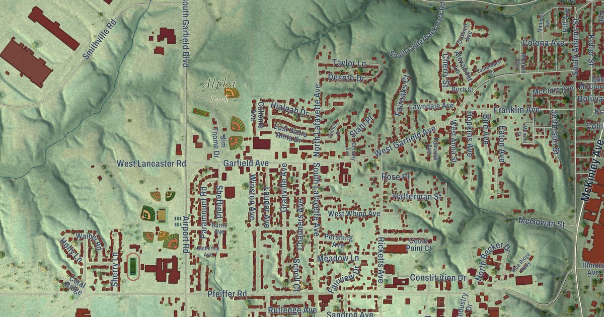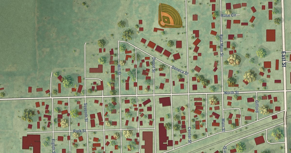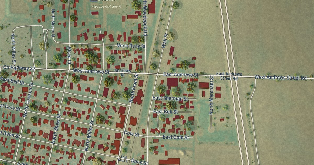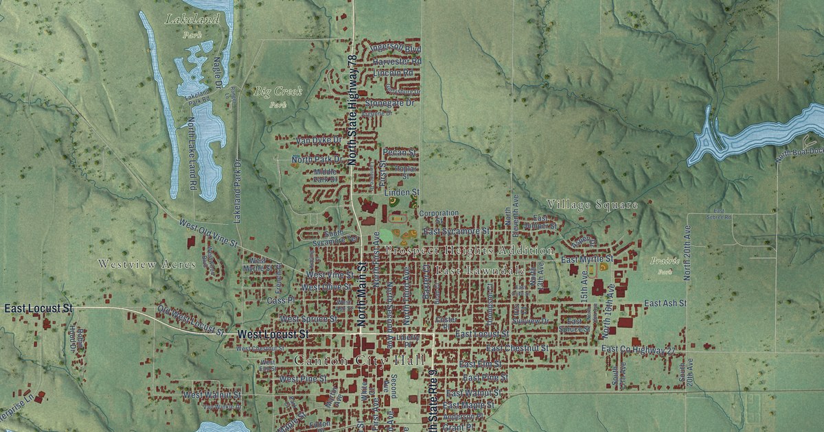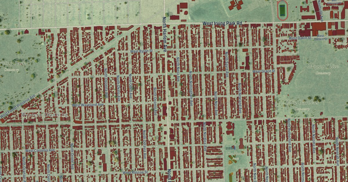
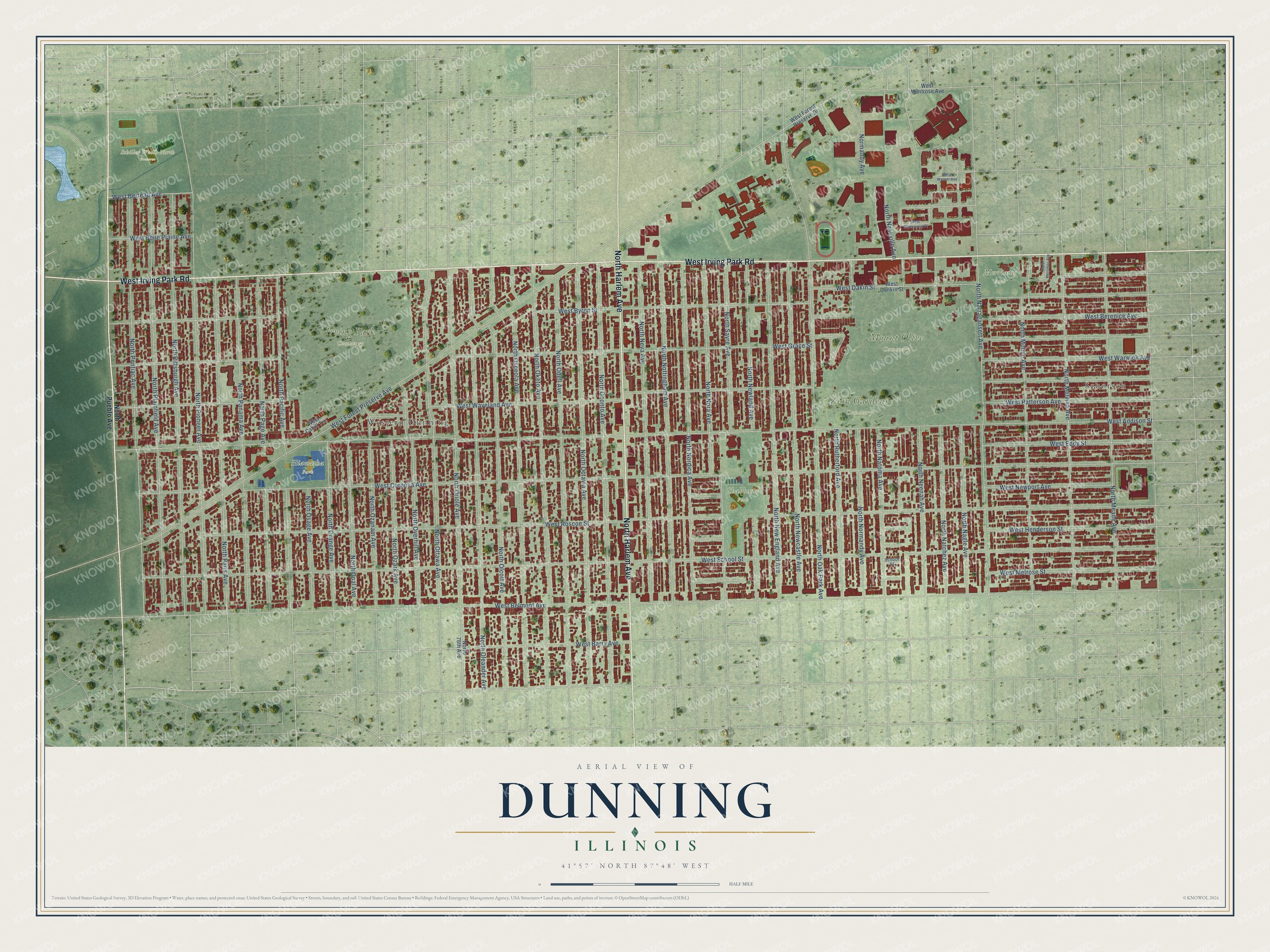
This beautifully detailed map of Dunning, Illinois was created in 2026 using aerial imagery combined with modern topographical, census, street and landmark data. It’s a one-of-a-kind view of Dunning that combines accurate data with a vintage aesthetic. The map shows every building in its true location, many of the roads carry their names, and the shaded topographic relief shows the shape of the land.
Explore an aerial view of Dunning, Illinois
On the map you’ll find Hiawatha Park, Irving Park Cemetery, Mount Olive Cemetery, Schiller Woods North Preserve, Shabbona Park, Zion Gardens Cemetery, Merrimac Park, Schorsch, and Western Dunning, along with West Irving Park Road, North Harlem Avenue, West Berteau Avenue, and more. If you look closely you can even find your house accurately drawn in its correct location. Zoom in on the preview to look for yours.
Did You Know?
From Internet Archive: "When Mathias Schmitt arrived in 1861, he found the settlers just named, together with Captain Spink, Fritz Grimwade Dunning."
Dunning is a place in Cook County.
Take a closer look at the Dunning map
Names on this map
These names are printed on this map.
Places: Hiawatha Park, Irving Park Cemetery, Mount Olive Cemetery, Schiller Woods North Preserve, Shabbona Park, Zion Gardens Cemetery, Merrimac Park, Schorsch and Western Dunning.
Streets and roads: West Irving Park Road, North Harlem Avenue, West Berteau Avenue, North Ottawa Avenue, North Neenah Avenue, Normandy Avenue, West Roscoe Street, West Addison Street, West School Street, West Cornelia Avenue, West Waveland Avenue, West Grace Street.
More street names, A to Z
North 76th Avenue, North Meade Avenue, North Melvina Avenue, North Merrimac Avenue, North Mobile Avenue, North Nagle Avenue, North Narragansett Avenue, North Nashville Avenue, North Natchez Avenue, North Natoma Avenue, North Neva Avenue, North Newcastle Avenue, North New England Avenue, North Newland Avenue, North Nora Avenue, North Nordica Avenue, North Normandy Avenue, North Nottingham Avenue, North Oak Park Avenue, North Oconto Avenue, North Octavia Avenue, North Odell Avenue, North Oketo Avenue, North Olcott Avenue, North Oleander Avenue, North Opal Avenue, North Orange Avenue, North Oriole Avenue, North Osage Avenue, North Osceola Avenue, North Overhill Avenue, North Ozanam Avenue, North Ozark Avenue, North Pacific Avenue, North Page Avenue, North Panama Avenue, North Paris Avenue, North Pioneer Avenue, North Pittsburgh Avenue, North Plainfield Avenue, North Pontiac Avenue, North Pueblo Avenue, North Rutherford Avenue, North Sayre Avenue, School Street, West Barry Avenue, West Belle Plaine Avenue, West Belmont Avenue, West Berenice Avenue, West Bittersweet Place, West Byron Street, West Cahill Terrace, West Dakin Street, West Dankin Street, West Eddy Street, West Forest Preserve Avenue, West Forest Preserve Drive, West Henderson Street, West Melrose Street, West Montrose Avenue, West Newport Avenue, West Patterson Avenue, West Warner Avenue, West Warwick Avenue.
See it on a wall
The Dunning map as a framed print. Swipe for more.


This beautifully detailed map of Dunning makes an attractive addition to your office, library, or den, and it can even be used to teach children the geography and history of the area. It also makes a great gift for anyone who grew up in Dunning or moved away. When you’re done exploring, click here to get your copy of the Dunning map.