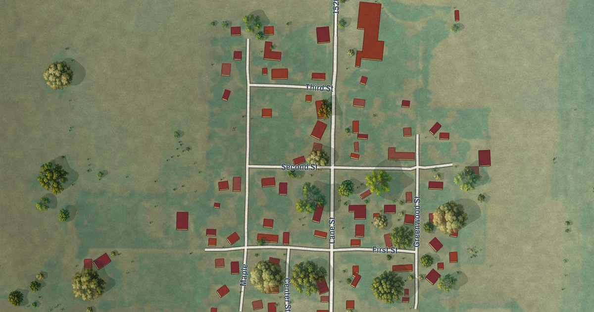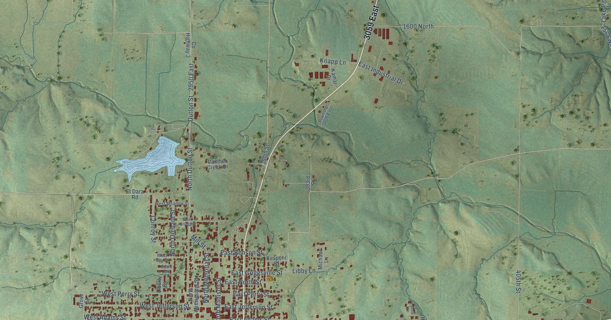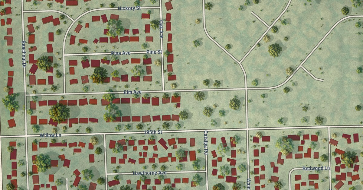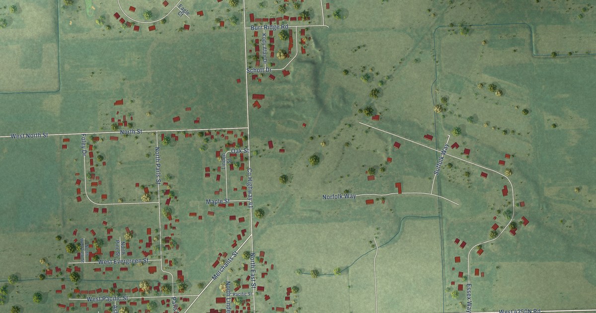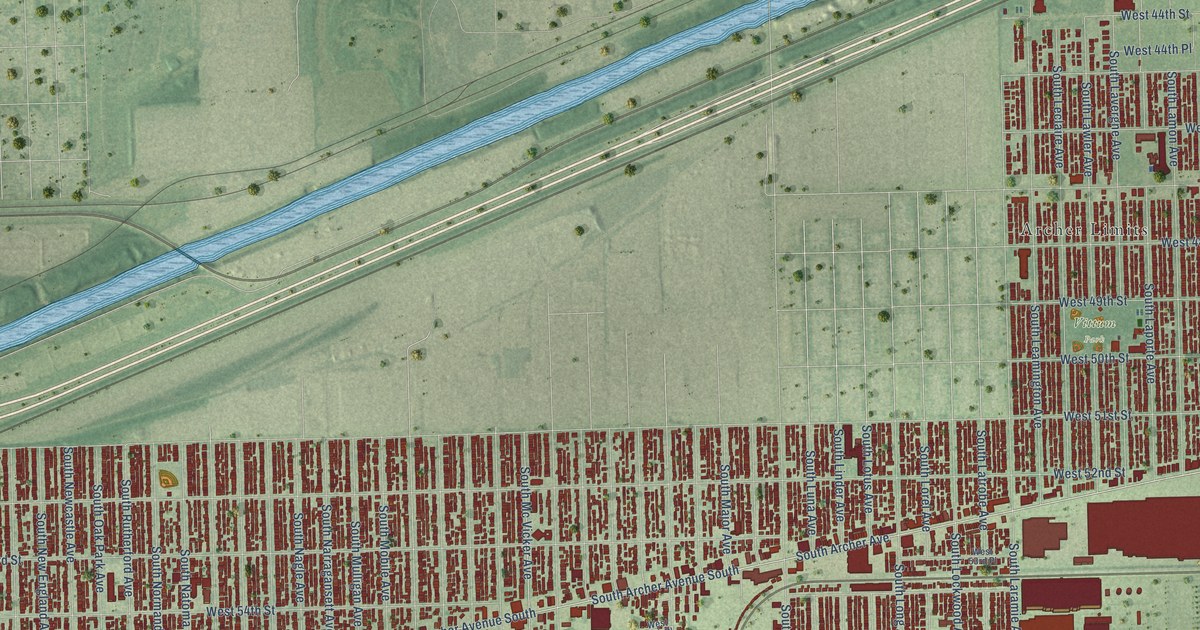
This beautifully detailed map of Garfield Ridge, Illinois was created in 2026 using aerial imagery combined with modern topographical, census, street and landmark data. It’s a one-of-a-kind view of Garfield Ridge that combines accurate data with a vintage aesthetic. The map shows every building in its true location, many of the roads carry their names, and the shaded topographic relief shows the shape of the land.
Explore an aerial view of Garfield Ridge, Illinois
On the map you’ll find Vittum Park, LeClaire Courts, Archer Limits, and Sleepy Hollow, along with South Cicero Avenue, South Major Avenue, West 57th Street, West Archer Avenue, South Archer Avenue South, South Mobile Avenue, Archer Avenue South, South Merrimac Avenue, and more. If you look closely you can even find your house accurately drawn in its correct location. Zoom in on the preview to look for yours.
Take a closer look at the Garfield Ridge map
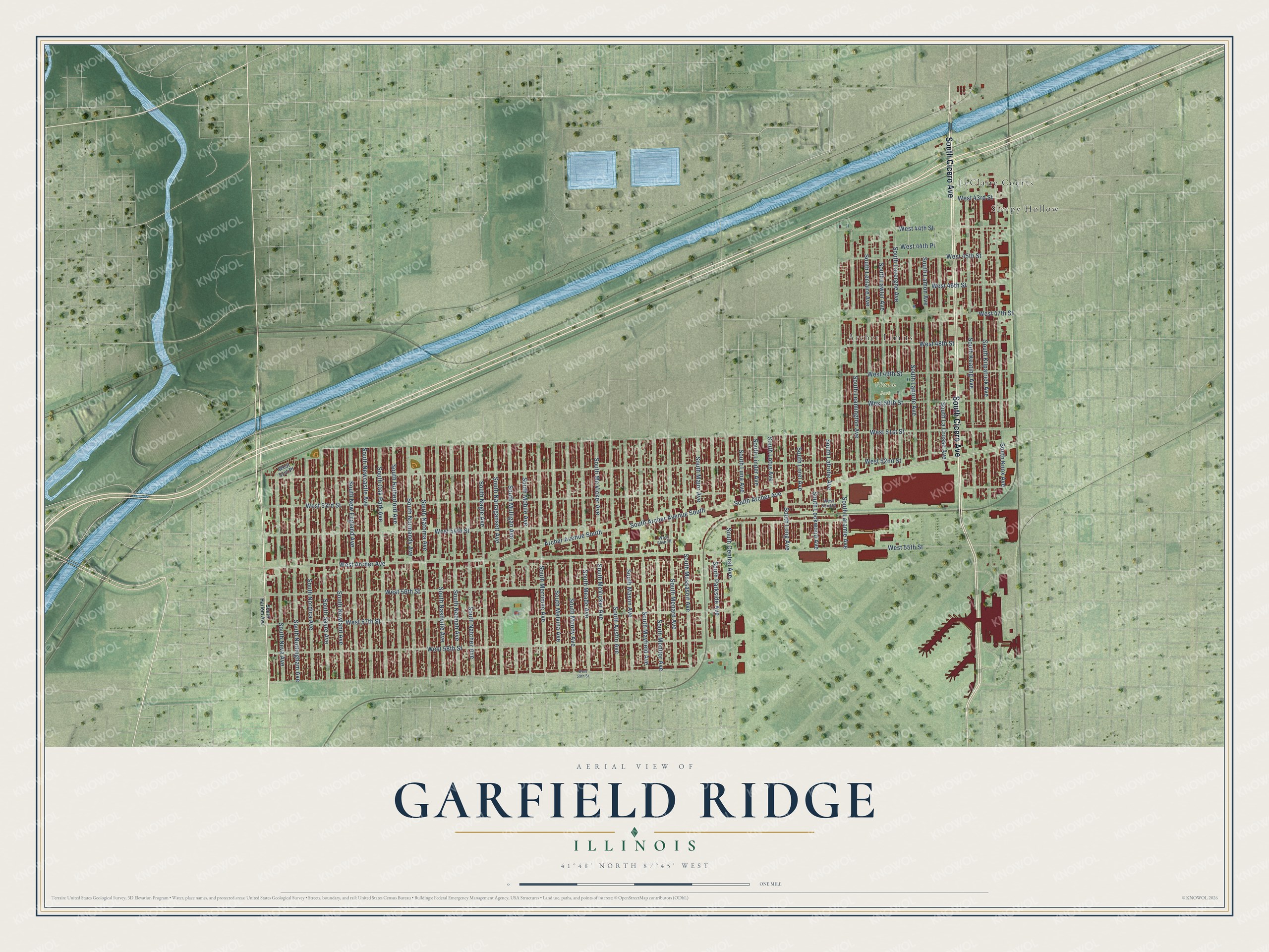
Names on this map
These names are printed on this map.
Places: Vittum Park, LeClaire Courts, Archer Limits and Sleepy Hollow.
Streets and roads: South Cicero Avenue, South Major Avenue, West 57th Street, West Archer Avenue, South Archer Avenue South, South Mobile Avenue, Archer Avenue South, South Merrimac Avenue, West 52nd Street, West 51st Street, South Archer Avenue, West 55th Street.
More street names, A to Z
South Austin Avenue, South Central Avenue, South Harlem Avenue, South Keating Avenue, South Kilpatrick Avenue, South Knox Avenue, South La Crosse Avenue, South Lamon Avenue, South Laporte Avenue, South Laramie Avenue, South Latrobe Avenue, South Lavergne Avenue, South Lawler Avenue, South Leamington Avenue, South Leclaire Avenue, South Linder Avenue, South Lockwood Avenue, South Long Avenue, South Lorel Avenue, South Lotus Avenue, South Luna Avenue, South Mason Avenue, South Massasoit Avenue, South Mayfield Avenue, South Mc Vicker Avenue, South McVicker Avenue, South Meade Avenue, South Melvina Avenue, South Menard Avenue, South Monitor Avenue, South Moody Avenue, South Mulligan Avenue, South Nagle Avenue, South Narragansett Avenue, South Nashville Avenue, South Natchez Avenue, South Natoma Avenue, South Neenah Avenue, South Neva Avenue, South Newcastle Avenue, South New England Avenue, South Newland Avenue, South Nordica Avenue, South Normandy Avenue, South Nottingham Avenue, South Oak Park Avenue, South Parkside Avenue, South Rutherford Avenue, South Sayre Avenue, West 43rd Street, West 44th Place, West 44th Street, West 45th Street, West 46th Street, West 47th Street, West 48th Street, West 49th Street, West 50th Street, West 51st Place, West 53rd Place, West 53rd Street, West 54th Place, West 54th Street, West 56th Street, West 58th Street, West 59th Street.
See it on a wall
The Garfield Ridge map as a framed print. Swipe for more.


This beautifully detailed map of Garfield Ridge makes an attractive addition to your office, library, or den, and it can even be used to teach children the geography and history of the area. It also makes a great gift for anyone who grew up in Garfield Ridge or moved away. When you’re done exploring, click here to get your copy of the Garfield Ridge map.