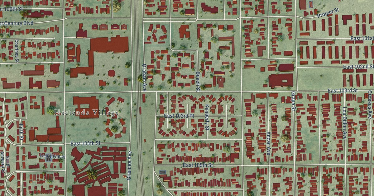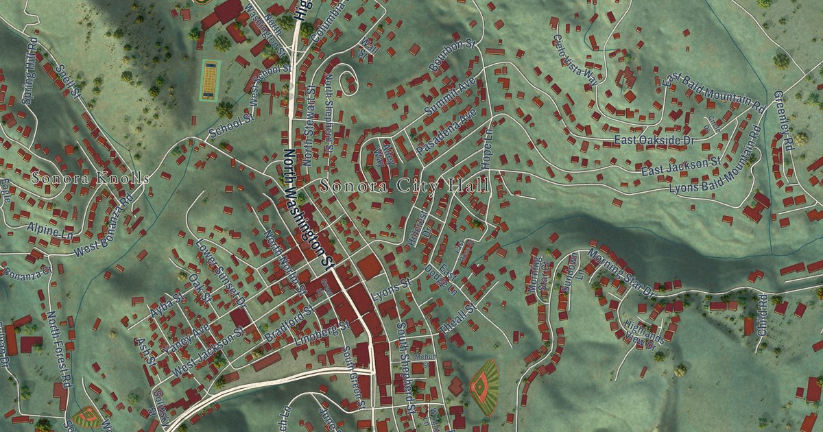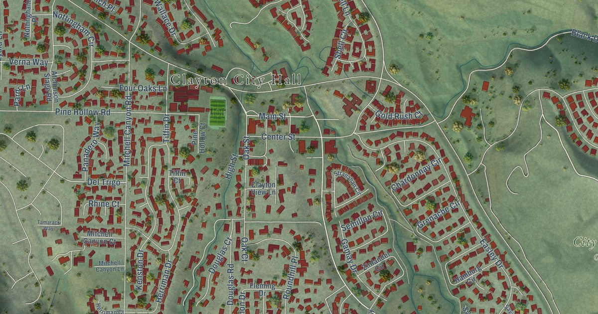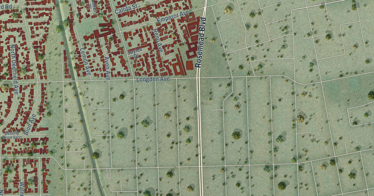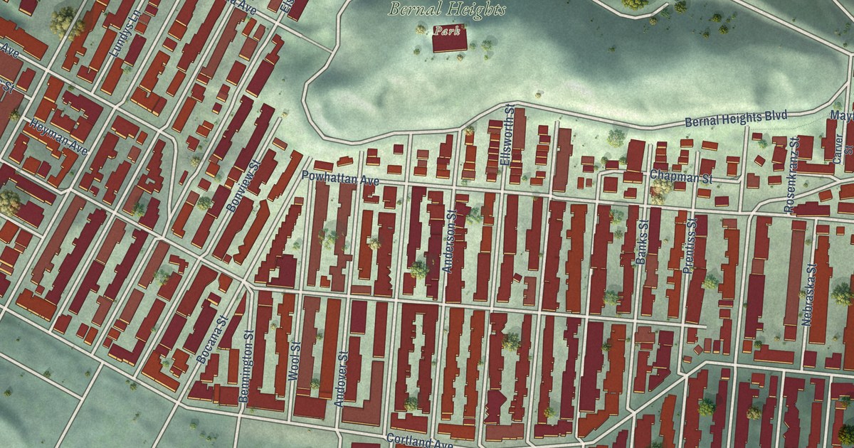
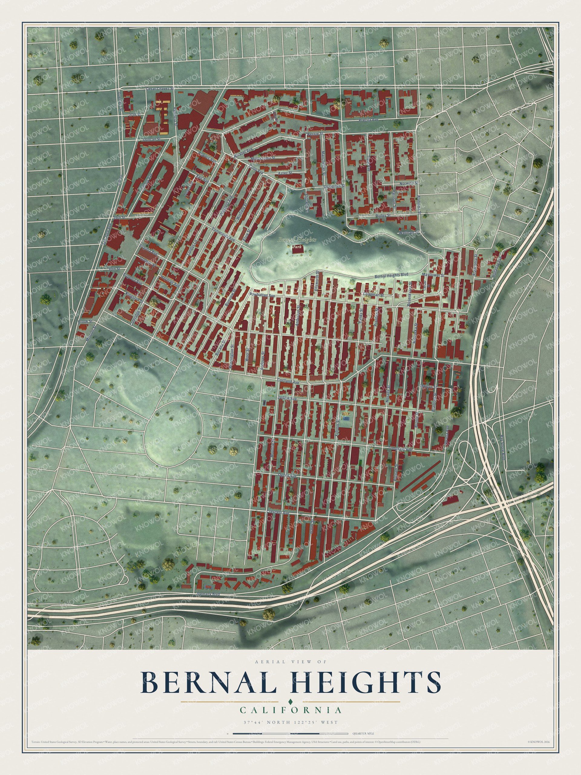
This beautifully detailed map of Bernal Heights, California was created in 2026 using aerial imagery combined with modern topographical, census, street and landmark data. It’s a one-of-a-kind view of Bernal Heights that combines accurate data with a vintage aesthetic. The map shows every building in its true location, many of the roads carry their names, and the shaded topographic relief shows the shape of the land.
Explore an aerial view of Bernal Heights, California
On the map you’ll find Bernal Heights Park, along with Crescent Avenue, Coso Avenue, Mirabel Avenue, Bessie Street, Precita Avenue, Bernal Heights Boulevard, Esmeralda Avenue, Alemany Boulevard, Folsom Street, Ellsworth Street, Cortland Avenue, and more. If you look closely you can even find your house accurately drawn in its correct location. Zoom in on the preview to look for yours.
Did You Know?
From Internet Archive: "Though exposed to the wind and fog of the Pacific ocean the site was long known as University Mound and lay on the western slope of Bernal Heights, •named after the original grantees."
Bernal Heights is a place in San Francisco County.
Take a closer look at the Bernal Heights map
Names on this map
These names are printed on this map.
Places: Bernal Heights Park.
Streets and roads: Crescent Avenue, Coso Avenue, Mirabel Avenue, Bessie Street, Precita Avenue, Bernal Heights Boulevard, Esmeralda Avenue, Alemany Boulevard, Folsom Street, Ellsworth Street, Cortland Avenue, San Jose Avenue.
More street names, A to Z
27th Street, 29th Street, 30th Street, Alabama Street, Anderson Street, Andover Street, Aztec Street, Banks Street, Bay Shore Boulevard, Bennington Street, Bocana Street, Bonview Street, Bradford Street, Bronte Street, Brook Street, Carver Street, Cesar Chavez Street, Chapman Street, Coleridge Street, Duncan Street, Elsie Street, Emmet Court, Eugenia Avenue, Fair Avenue, Franconia Street, Gates Street, Godeus Street, Guerrero, Guerrero Street, Harrison Street, Heyman Avenue, Holladay Avenue, Jarboe Avenue, Kingston Street, Lundys Lane, Manchester Street, Mayflower Street, Mission Street, Mojave Street, Montezuma Street, Moultrie Street, Nebraska Street, Nevada Street, Norwich Street, Ogden Avenue, Peralta Avenue, Peters Avenue, Powers Avenue, Powhattan Avenue, Prentiss Street, Prospect Avenue, Putnam Street, Ripley Street, Rosenkranz Street, Shotwell Street, Stoneman Street, Tiffany Avenue, Tompkins Avenue, Treat Avenue, Valencia Street, Virginia Avenue, Waltham Street, Winfield Street, Wool Street.
See it on a wall
The Bernal Heights map as a framed print. Swipe for more.


This beautifully detailed map of Bernal Heights makes an attractive addition to your office, library, or den, and it can even be used to teach children the geography and history of the area. It also makes a great gift for anyone who grew up in Bernal Heights or moved away. When you’re done exploring, click here to get your copy of the Bernal Heights map.