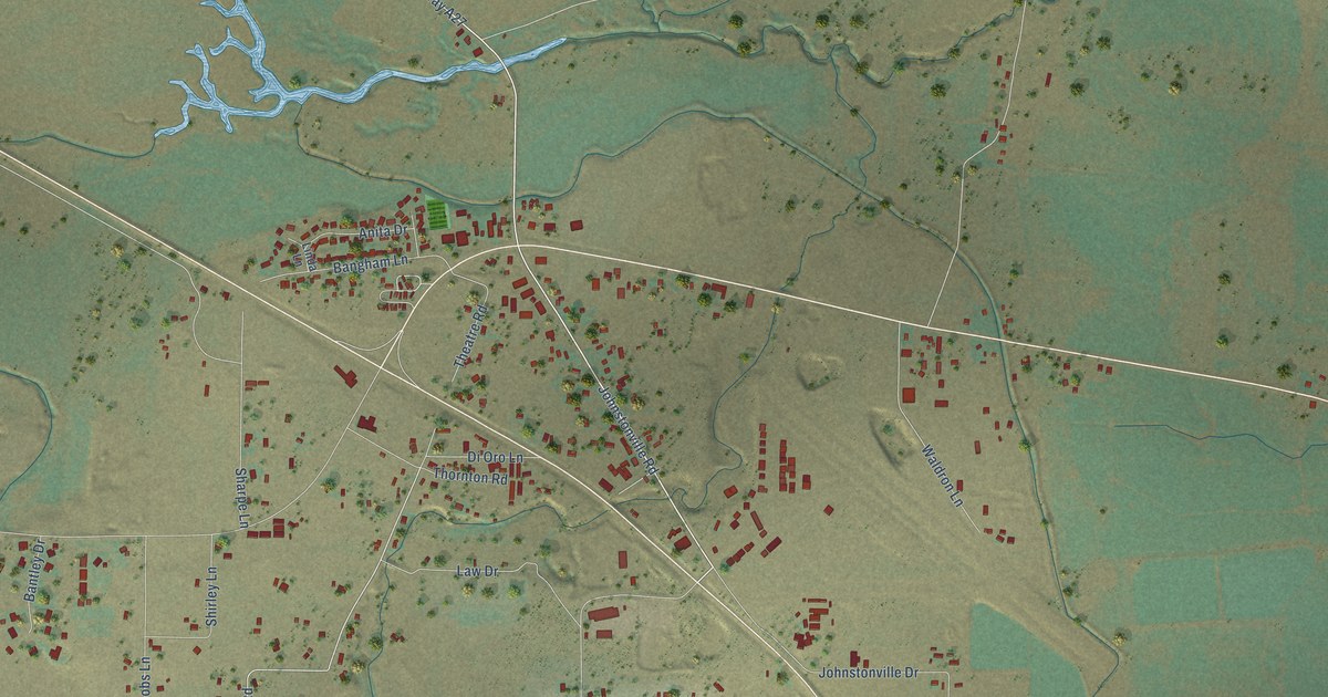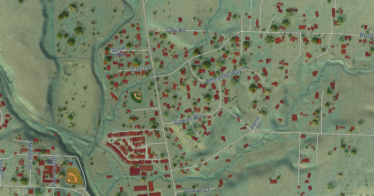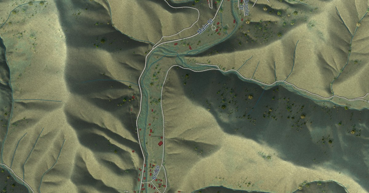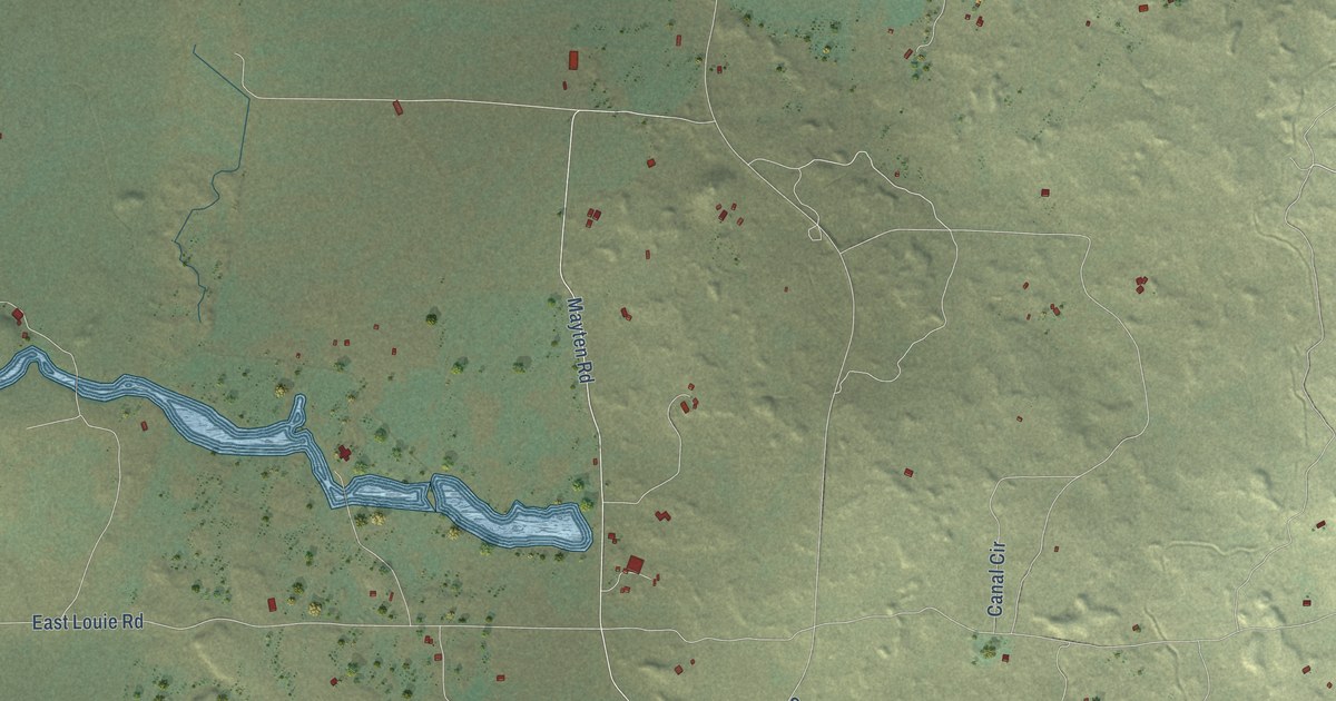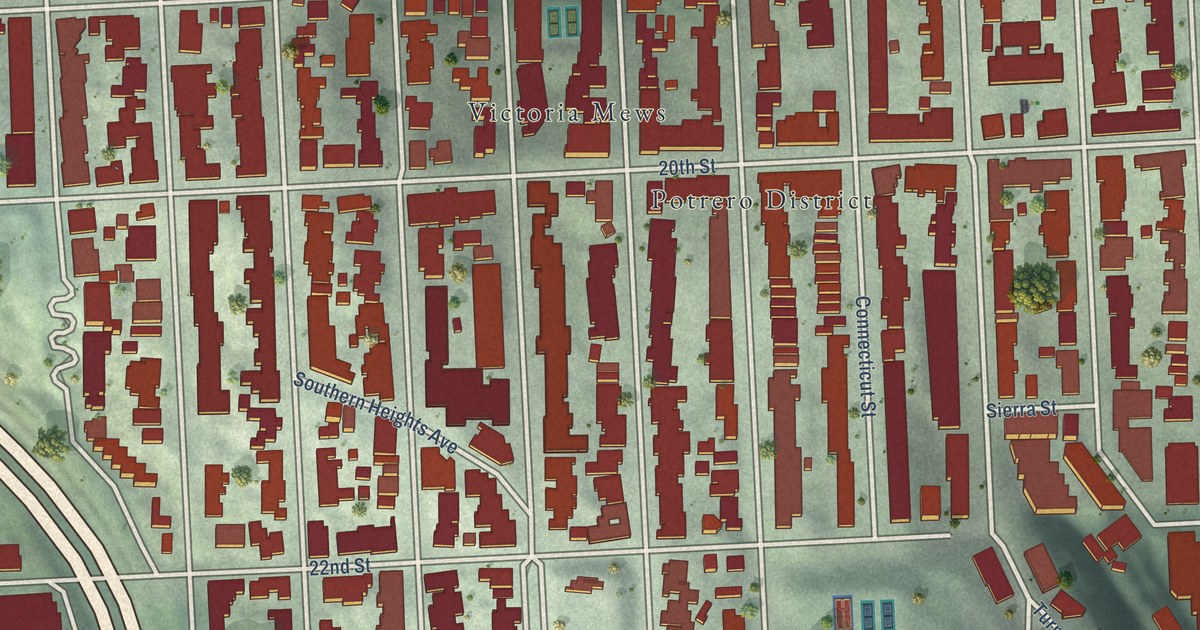
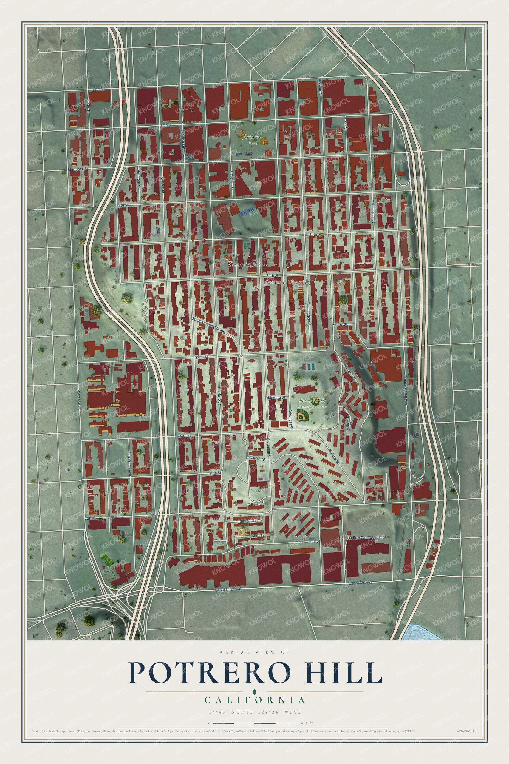
This beautifully detailed map of Potrero Hill, California was created in 2026 using aerial imagery combined with modern topographical, census, street and landmark data. It’s a one-of-a-kind view of Potrero Hill that combines accurate data with a vintage aesthetic. The map shows every building in its true location, many of the roads carry their names, and the shaded topographic relief shows the shape of the land.
Explore an aerial view of Potrero Hill, California
On the map you’ll find Potrero Hill Recreation Center, Jackson Park, Victoria Mews, Potrero District, and Cesar Chavez, along with Potrero Avenue, Vermont Street, Missouri Street, De Haro Street, Carolina Street, Kansas Street, Rhode Island Street, and more. If you look closely you can even find your house accurately drawn in its correct location. Zoom in on the preview to look for yours.
Did You Know?
From Internet Archive: "James Presbyterian, and Potrero Hill Neighborhood House Sunday school, all of which profited by the contest in increased attendance and interest."
Potrero Hill is a place in San Francisco County.
Take a closer look at the Potrero Hill map
Names on this map
These names are printed on this map.
Places: Potrero Hill Recreation Center, Jackson Park, Victoria Mews and Potrero District.
Streets and roads: Potrero Avenue, Cesar Chavez, Vermont Street, Missouri Street, De Haro Street, Carolina Street, Kansas Street, Rhode Island Street, Pennsylvania Avenue, Connecticut Street, Cesar Chavez Street, 25th Street.
More street names, A to Z
16th Street, 17th Street, 18th Street, 19th Street, 20th Street, 22nd Street, 23rd Street, 24th Street, 26th Street, Arkansas Street, Blair Terrace, Caire Terrace, Coral Road, Dakota Street, Fontinella Terrace, Littlefield Terrace, Madera Street, Mariposa Street, Mississippi Street, San Bruno Avenue, Sierra Street, Southern Heights Avenue, Texas Street, Turner Terrace, Utah Street, Watchman Way, Wisconsin Street, Yellow Cab Access Road.
See it on a wall
The Potrero Hill map as a framed print. Swipe for more.


This beautifully detailed map of Potrero Hill makes an attractive addition to your office, library, or den, and it can even be used to teach children the geography and history of the area. It also makes a great gift for anyone who grew up in Potrero Hill or moved away. When you’re done exploring, click here to get your copy of the Potrero Hill map.