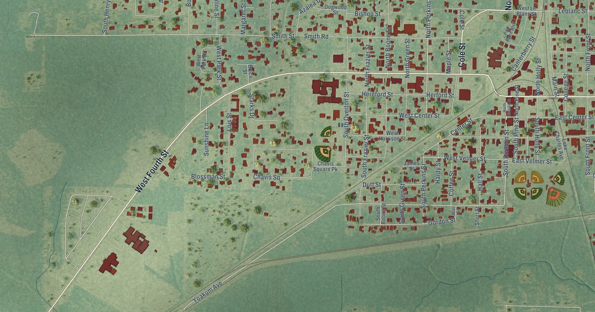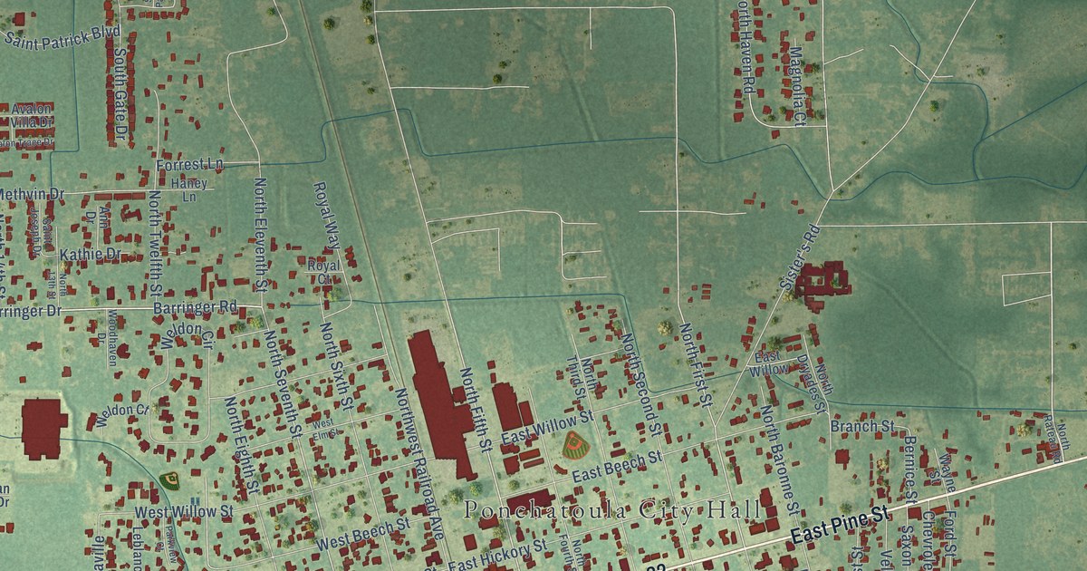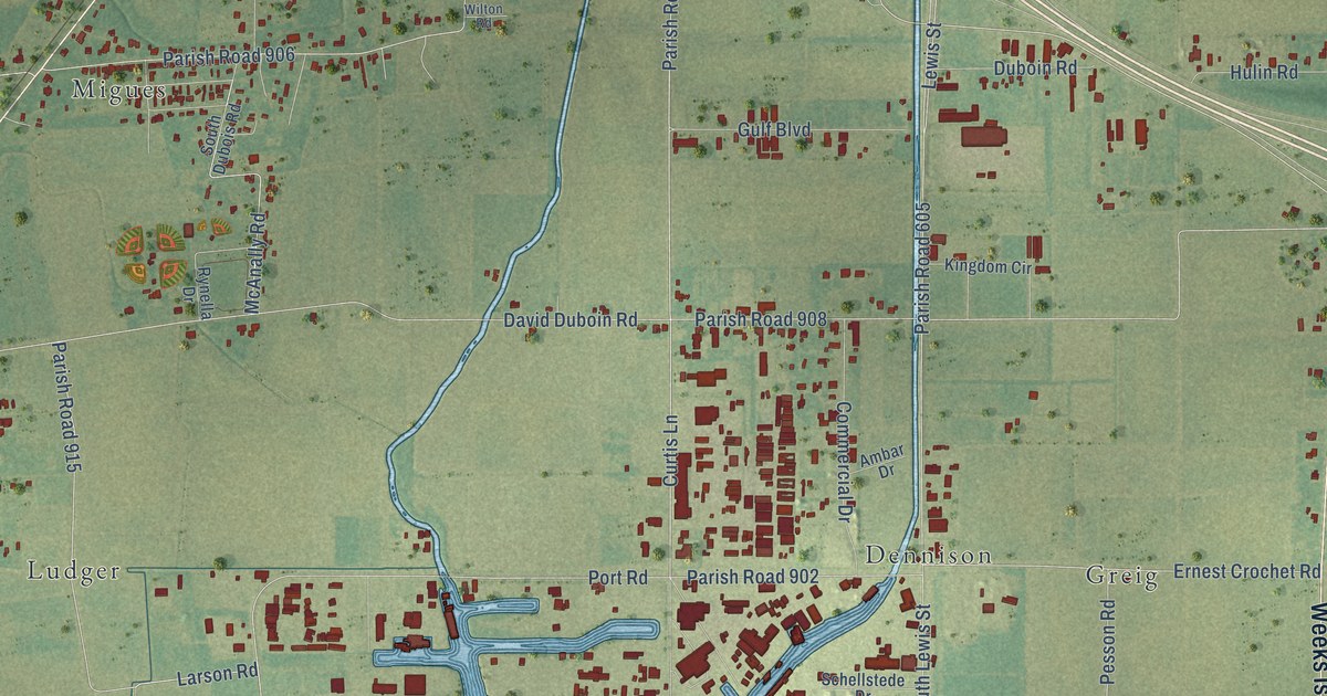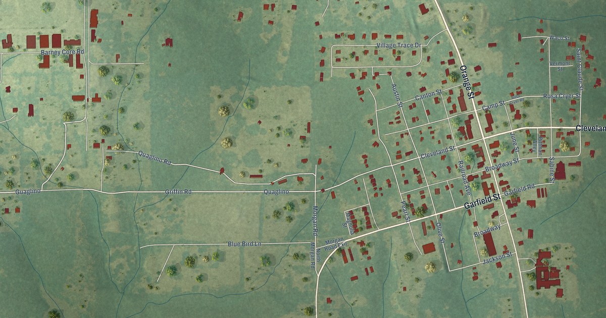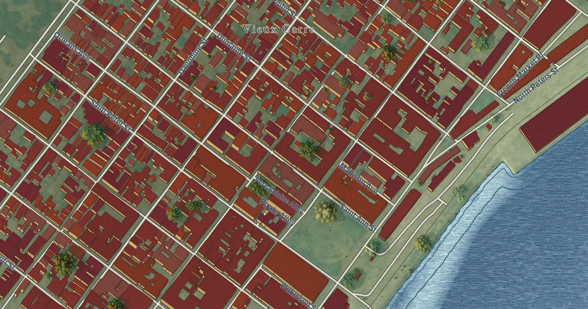
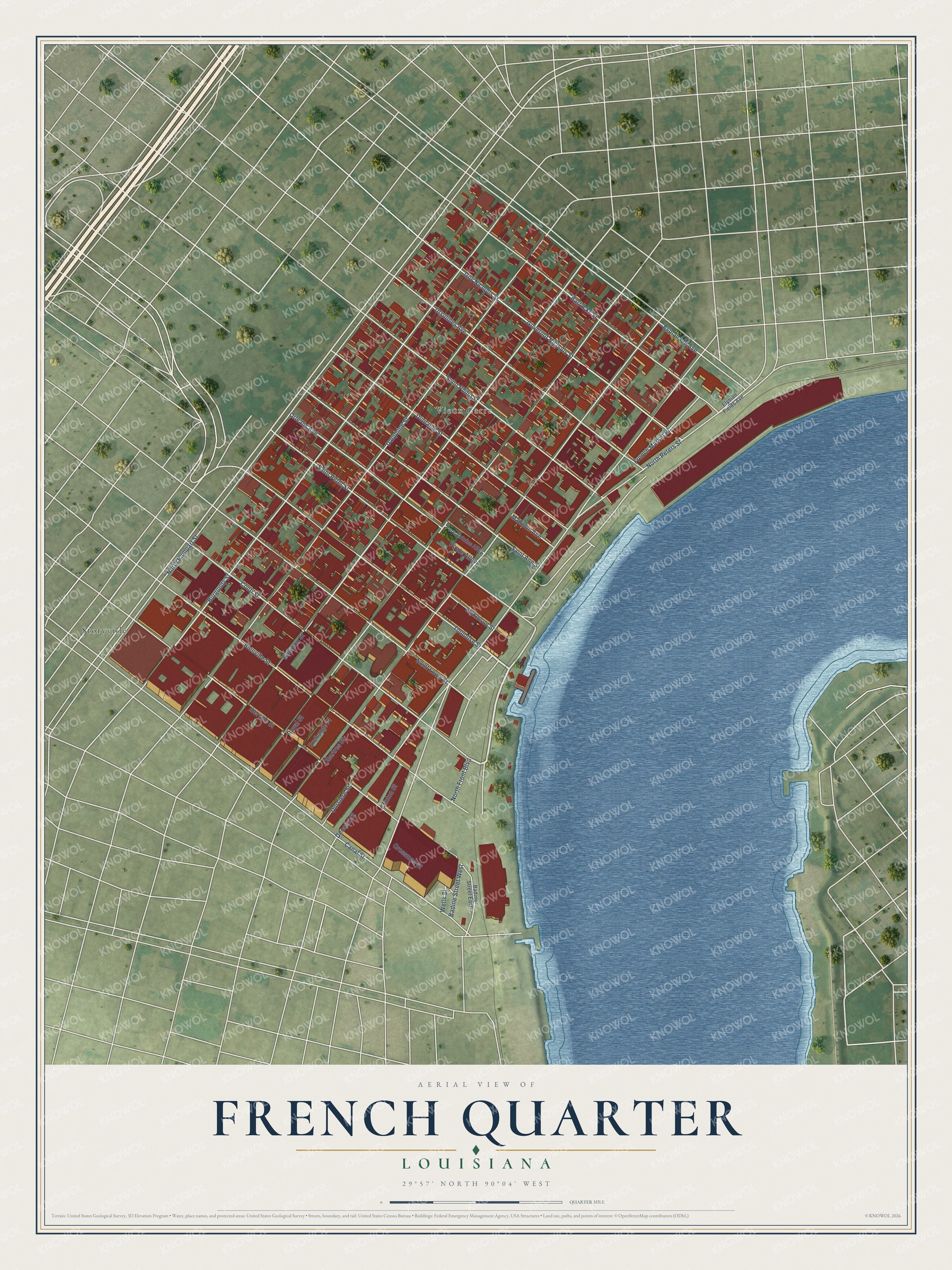
This beautifully detailed map of French Quarter, Louisiana was created in 2026 using aerial imagery combined with modern topographical, census, street and landmark data. It’s a one-of-a-kind view of French Quarter that combines accurate data with a vintage aesthetic. The map shows every building in its true location, many of the roads carry their names, and the shaded topographic relief shows the shape of the land.
Explore an aerial view of French Quarter, Louisiana
On the map you’ll find Vieux Carre and Storyville, along with Bourbon Street, North Rampart Street, Burgundy Street, Dauphine Street, Royal Street, Chartres Street, Decatur Street, Canal Street, North Peters Street, Iberville Street, and more. If you look closely you can even find your house accurately drawn in its correct location. Zoom in on the preview to look for yours.
Did You Know?
Jean-Baptiste Le Moyne de Bienville founded New Orleans in 1718. The young city grew around a central square, the Vieux Carre. That makes the French Quarter the oldest neighborhood in New Orleans. Most of its surviving old buildings went up under Spanish rule in the late 1700s or in the early 1800s.
French Quarter is a place in Orleans Parish.
Take a closer look at the French Quarter map
Names on this map
These names are printed on this map.
Places: Vieux Carre and Storyville.
Streets and roads: Bourbon Street, North Rampart Street, Burgundy Street, Dauphine Street, Royal Street, Chartres Street, Decatur Street, Canal Street, North Peters Street, Iberville Street, Bienville Street, Conti Street.
More street names, A to Z
Badine Street East, Badine Street West, Barracks Street, Clinton Street, Crossman Street, Dorsiere Street, Dumaine Street, Elysian Fields Avenue, Esplanade Avenue, Exchange Place, French Market Place, Governor Nicholls Street, Gov Nicholls Street, Madison Avenue, North Front Boulevard, Orleans Avenue, Pere Antoine Alley, Pirate Alley, Saint Ann Street, Saint Louis Street, Saint Peter Street, Saint Philip Street, Toulouse Street, Ursulines Avenue, Wells Street, Wilkinson Street.
See it on a wall
The French Quarter map as a framed print. Swipe for more.


This beautifully detailed map of French Quarter makes an attractive addition to your office, library, or den, and it can even be used to teach children the geography and history of the area. It also makes a great gift for anyone who grew up in French Quarter or moved away. When you’re done exploring, click here to get your copy of the French Quarter map.