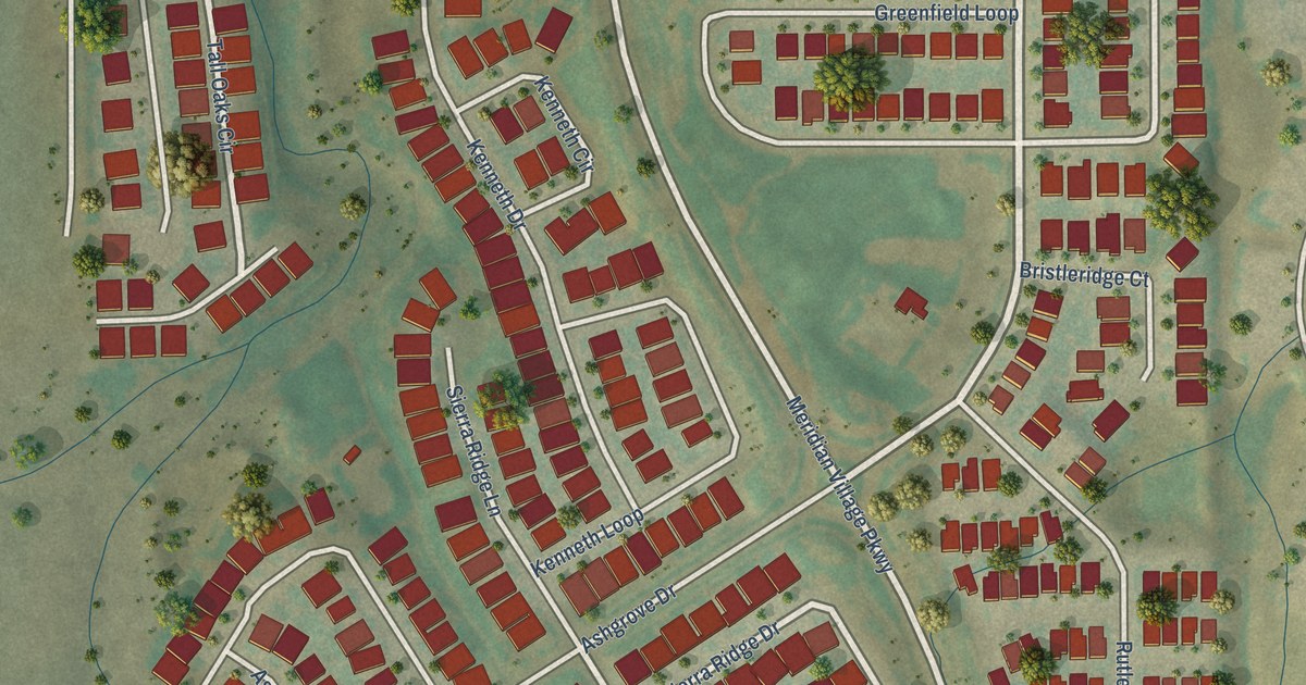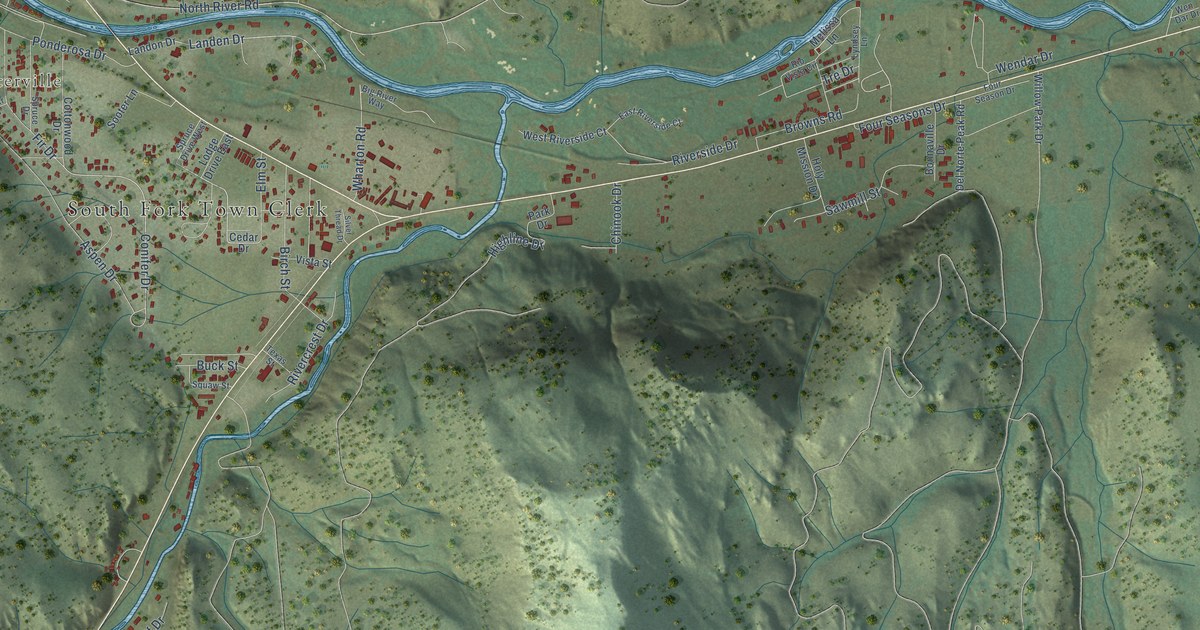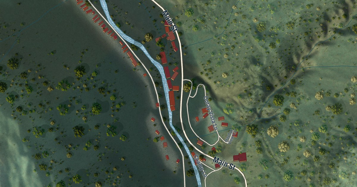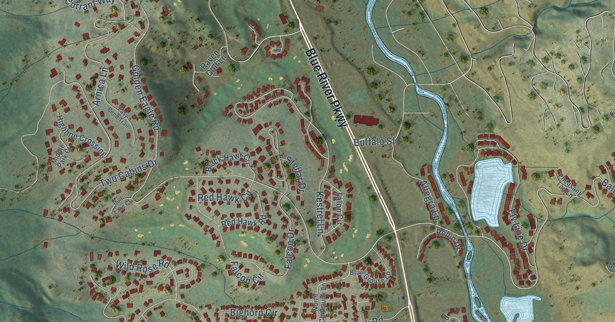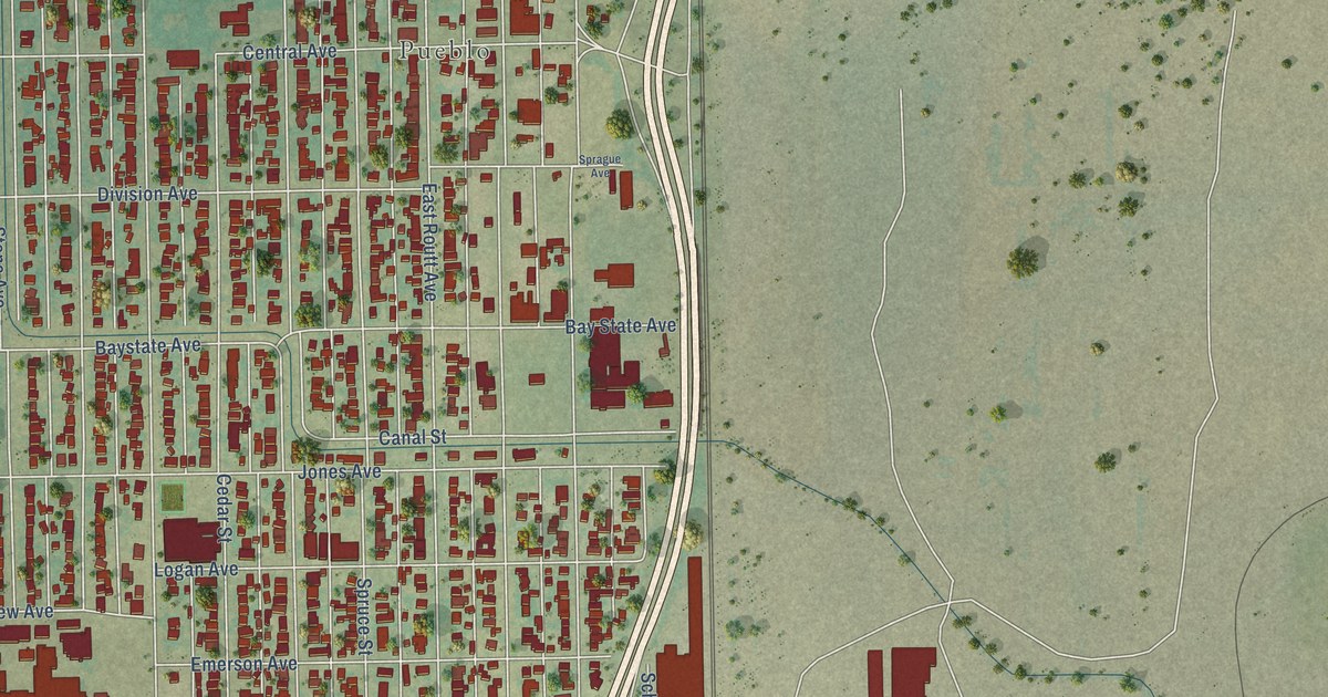
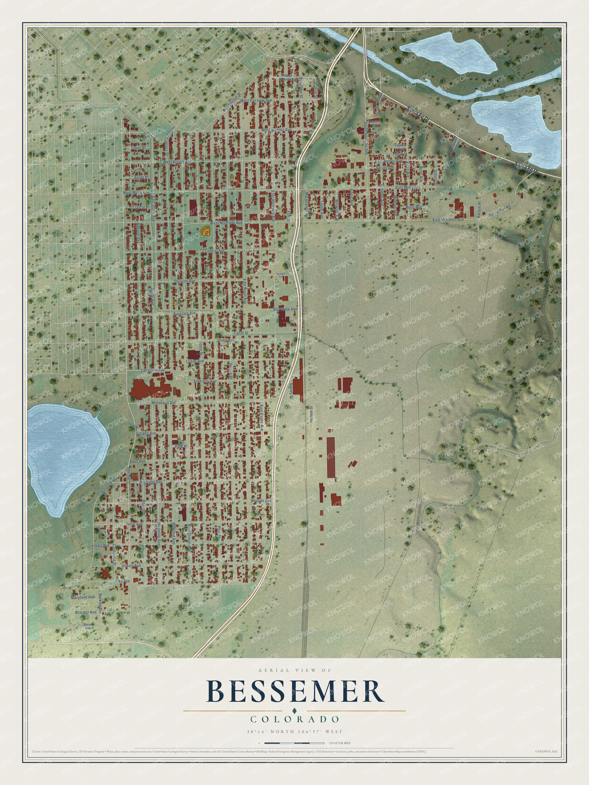
This beautifully detailed map of Bessemer, Colorado was created in 2026 using aerial imagery combined with modern topographical, census, street and landmark data. It’s a one-of-a-kind view of Bessemer that combines accurate data with a vintage aesthetic. The map shows every building in its true location, many of the roads carry their names, and the shaded topographic relief shows the shape of the land.
Explore an aerial view of Bessemer, Colorado
On the map you’ll find Pueblo, along with Santa Fe Drive, Lake Avenue, South Santa Fe Avenue, Minnequa Avenue, East Routt Avenue, Pine Street, East Evans Avenue, Spruce Street, East Orman Avenue, Cedar Street, East Abriendo Avenue, and more. If you look closely you can even find your house accurately drawn in its correct location. Zoom in on the preview to look for yours.
Did You Know?
From Internet Archive: "Bessemer was so called in honor of Sir Henry Bessemer, inventor of the process of reducing iron ore."
Bessemer is a place in Pueblo County.
Take a closer look at the Bessemer map
Names on this map
These names are printed on this map.
Places: Pueblo.
Streets and roads: Santa Fe Drive, Lake Avenue, South Santa Fe Avenue, Minnequa Avenue, East Routt Avenue, Pine Street, East Evans Avenue, Spruce Street, East Orman Avenue, Cedar Street, East Abriendo Avenue, Cypress Street.
More street names, A to Z
Agate Place, Agram Avenue, Aqua Avenue, Baystate Avenue, Bay State Avenue, Berkley Avenue, Berwind Avenue, Bessemer Road, Bohmen Avenue, Box Elder Street, California Street, Canal Street, Central Avenue, Crystal Place, Currie Street, Division Avenue, East Adams Avenue, East Arroyo Avenue, East Mesa Avenue, East Northern Avenue, East Stone Avenue, Eckland Avenue, Egan Avenue, Eilers Avenue, Elko Avenue, Elm Street, Emerson Avenue, Harlem Place, Harlem Street, Haven Street, Highland Avenue, Hill Place, Illinois Avenue, Indiana Avenue, Iowa Avenue, Jefferson Street, Joliet Avenue, Jones Avenue, Lakeshore Avenue, Lakeview Avenue, Logan Avenue, Mahren Avenue, Maryland Avenue, Nevada Avenue, Oakland Avenue, Park Place, Poplar Street, Reno Avenue, Rio Grande Avenue, Roitz Avenue, Russ Avenue, Schley Street, School Street, Sprague Avenue, Stone Avenue, Streator Avenue, Taylor Avenue, Tezak Street, Topaz Place, Topeka Avenue, Trail Avenue, Wabash Avenue, Washington Street, West Arroyo Avenue, West Bicknell Avenue, West Fairview Avenue, West Mesa Avenue, West Northern Avenue, West Summit Avenue, Wyoming Avenue.
See it on a wall
The Bessemer map as a framed print. Swipe for more.


This beautifully detailed map of Bessemer makes an attractive addition to your office, library, or den, and it can even be used to teach children the geography and history of the area. It also makes a great gift for anyone who grew up in Bessemer or moved away. When you’re done exploring, click here to get your copy of the Bessemer map.