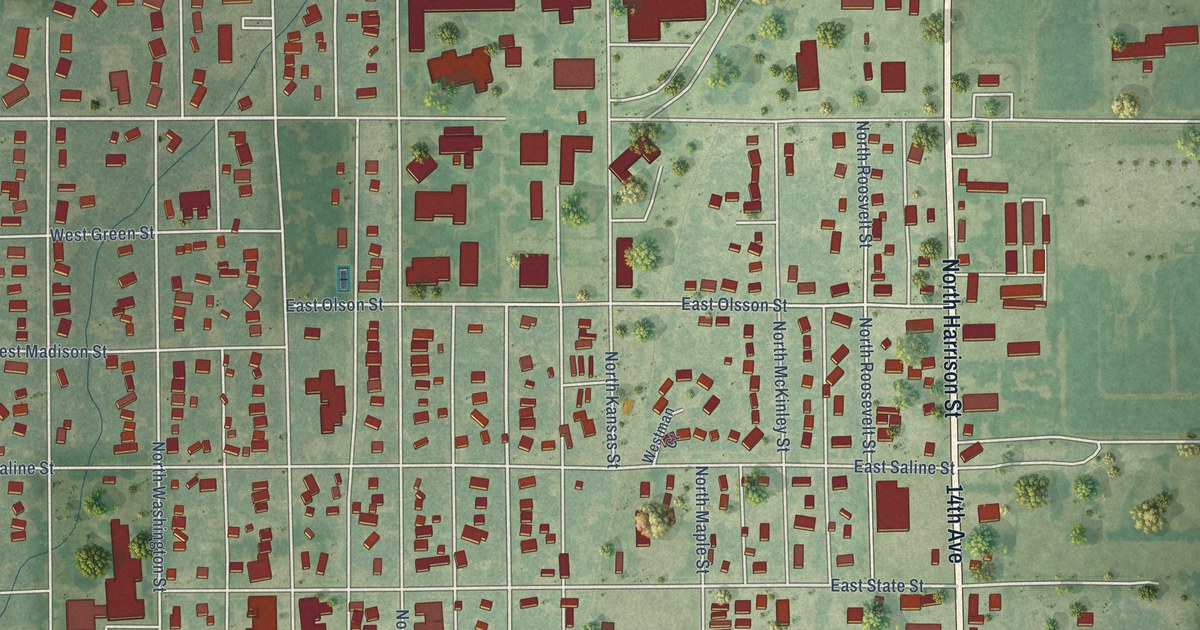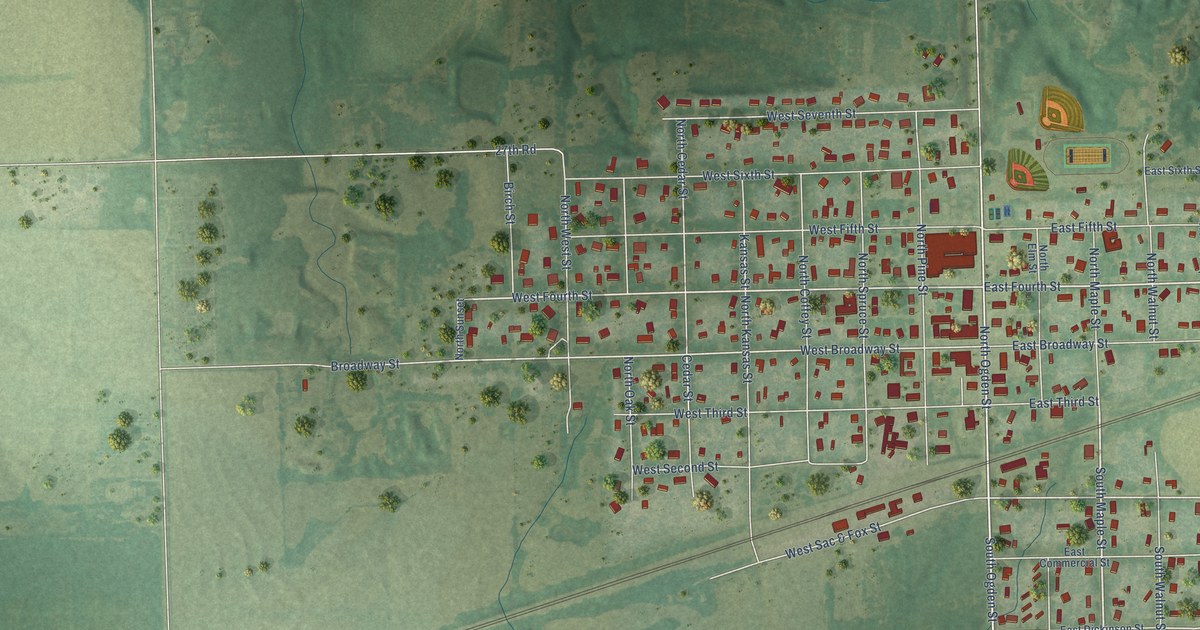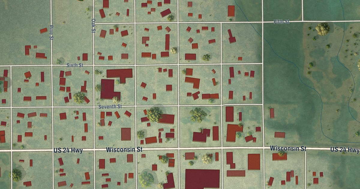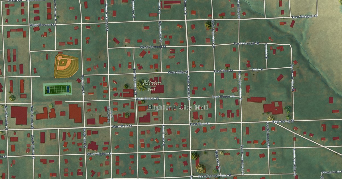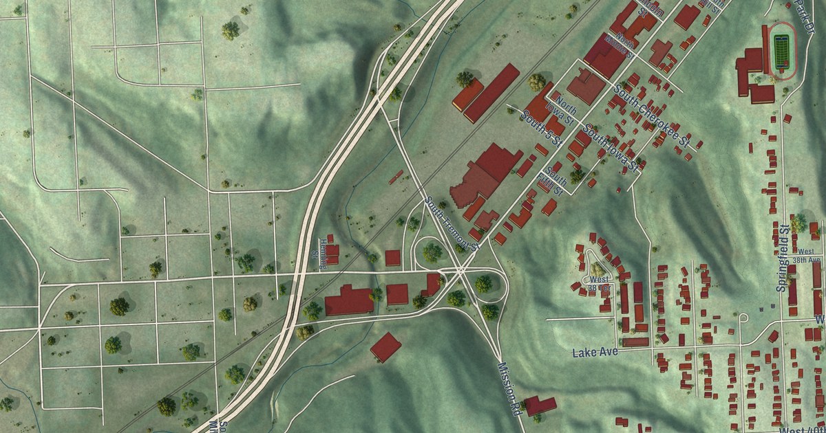
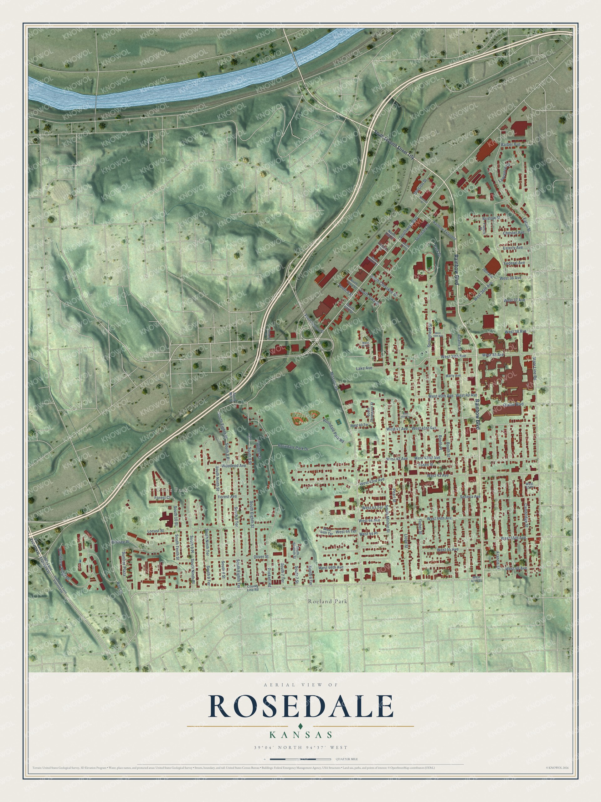
This beautifully detailed map of Rosedale, Kansas was created in 2026 using aerial imagery combined with modern topographical, census, street and landmark data. It’s a one-of-a-kind view of Rosedale that combines accurate data with a vintage aesthetic. The map shows every building in its true location, many of the roads carry their names, and the shaded topographic relief shows the shape of the land.
Explore an aerial view of Rosedale, Kansas
On the map you’ll find Grays Park, Rosedale Park, and Roeland Park, along with Rainbow Boulevard, Southwest Boulevard, Mission Road, Woodview Ridge Drive, Roe Lane, West 40 Avenue, West 40th Avenue, South 10 Street, South Tenth Street, and more. If you look closely you can even find your house accurately drawn in its correct location. Zoom in on the preview to look for yours.
Did You Know?
Rosedale began as a town in Shawnee Township in 1872. A judge ordered it incorporated as the City of Rosedale, and voters chose officers in 1877. It grew past 2,000 people by 1897. Rosedale stayed its own city until Kansas City, Kansas, annexed it in 1922.
Rosedale is a place in Wyandotte County.
Take a closer look at the Rosedale map
Names on this map
These names are printed on this map.
Places: Grays Park, Rosedale Park and Roeland Park.
Streets and roads: Rainbow Boulevard, Southwest Boulevard, Mission Road, Woodview Ridge Drive, Roe Lane, West 40 Avenue, West 40th Avenue, South 10 Street, South Tenth Street, Division Street, State Line Road, West 36 Avenue.
More street names, A to Z
18th Saint Expressway, 36th Avenue, Adams Street, Barber Avenue, Booth Place, Booth Street, Bristow Street, Cambridge Street, Chester Avenue, County Line Road, Eaton Street, Eighth Street, Essex Street, Esterly Avenue, Federal Avenue, Fisher Street, Forest Avenue, Forest Court, Francis Place, Francis Street, Henning Street, Holmes Street, Lake Avenue, Lawrence Court, Lincoln Street, Lloyd Street, Locust Street, Marshall Street, Marty Avenue, North Hill Street, North Iowa Street, North Minnie Street, Olathe Boulevard, Oliver Street, Park Drive, Pearl Street, Puckett Road, Rainbow Extended, Rosedale Park Drive, Rosedale Park Road, Seminary Street, Seneca Avenue, South 5 Street, South 6 Terrace, South 7 Street, South 7 Terrace, South 8 Place, South 8 Street, South 8 Terrace, South 9 Place, South 9 Street, South 9 Terrace, South 18th Saint Expressway, South Cherokee Street, South Eighth Place, South Eighth Street, South Eighth Terrace, South Fifth Street, South Hill Street, South Iowa Street, South Mill Street, South Minnie Street, South Ninth Place, South Ninth Street, South Ninth Terrace, South Seventh Street, South Seventh Street Trfy, South Thompson Street, South Tremont Street, Springfield Street, Suntree Place, Suntree Plaza, West 36th Avenue, West 37 Avenue, West 38 Avenue, West 38 Terrace, West 38th Avenue, West 39 Avenue, West 39th Avenue, West 40 Terrace, West 40th Terrace, West 41 Avenue, West 41st Avenue, West 42 Avenue, West 42nd Avenue, West 43 Avenue, West 43 Place, West 43 Terrace, West 43rd Avenue, West 44 Avenue, West 44 Place, West 44 Terrace, West 44th Avenue, West 44th Terrace, West 45 Avenue, West 45th Avenue, West 46 Avenue, West 46th Avenue, West 47th Street, Woodend Avenue.
See it on a wall
The Rosedale map as a framed print. Swipe for more.


This beautifully detailed map of Rosedale makes an attractive addition to your office, library, or den, and it can even be used to teach children the geography and history of the area. It also makes a great gift for someone who left Rosedale and still calls it home. When you’re done exploring, click here to get your copy of the Rosedale map.