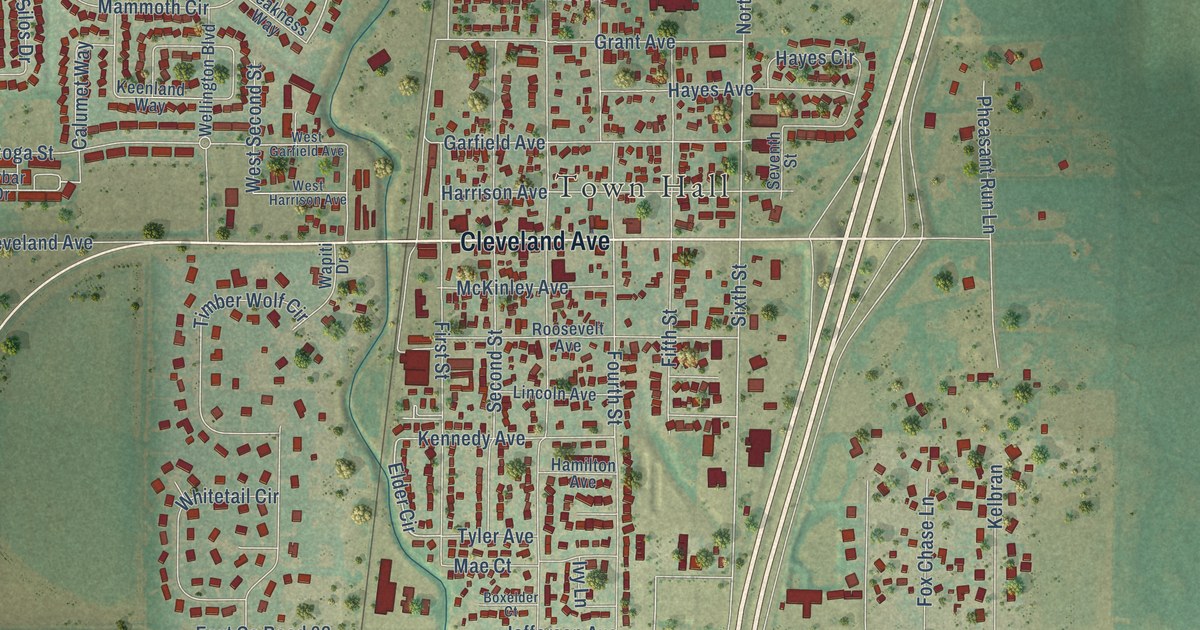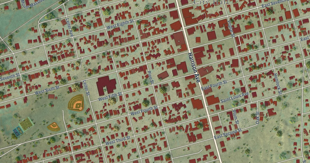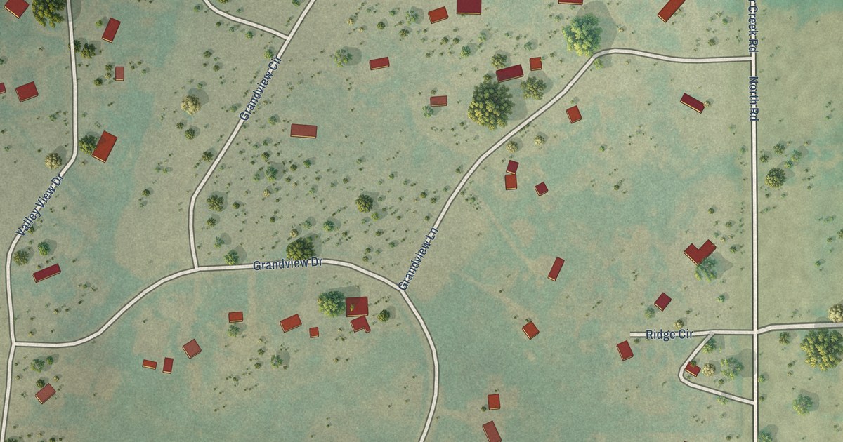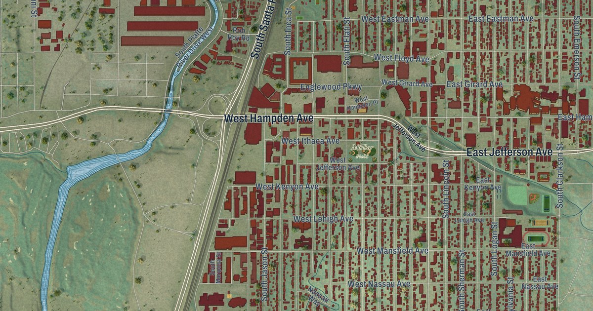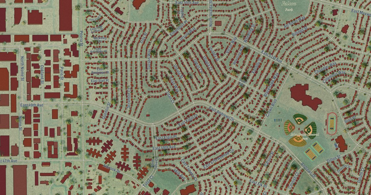
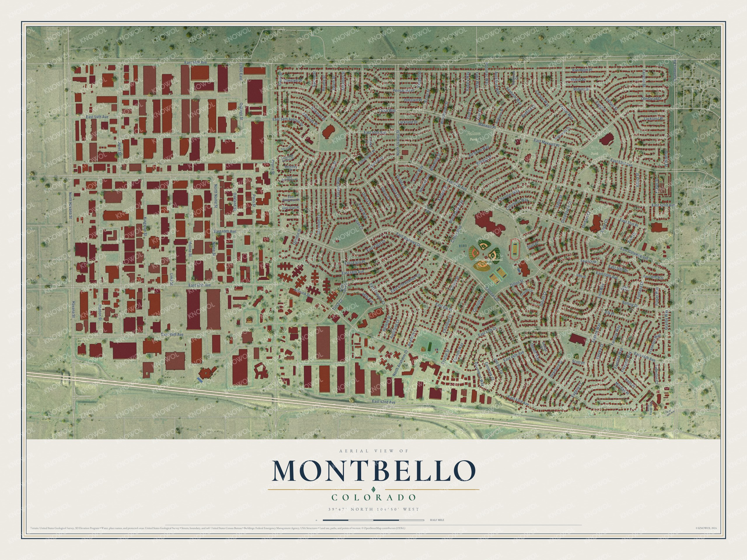
This beautifully detailed map of Montbello, Colorado was created in 2026 using aerial imagery combined with modern topographical, census, street and landmark data. It’s a one-of-a-kind view of Montbello that combines accurate data with a vintage aesthetic. The map shows every building in its true location, many of the roads carry their names, and the shaded topographic relief shows the shape of the land.
Explore an aerial view of Montbello, Colorado
On the map you’ll find Montbello Central Park, Falcon Park, Ford Park, and Maxwell Place, along with Chambers Road, Dearborn Street, Granby Street, East 50th Avenue, East 51st Avenue, East 42nd Avenue, Fairplay Street, East 46th Avenue, and more. If you look closely you can even find your house accurately drawn in its correct location. Zoom in on the preview to look for yours.
Take a closer look at the Montbello map
Names on this map
These names are printed on this map.
Places: Montbello Central Park, Falcon Park and Ford Park.
Streets and roads: Chambers Road, Dearborn Street, Granby Street, Maxwell Place, East 50th Avenue, East 51st Avenue, East 42nd Avenue, Fairplay Street, East 46th Avenue, East 47th Avenue, Albrook Drive, Joliet Street.
More street names, A to Z
46th Avenue, 49th Place, 50th Avenue, 11900 East, Abilene Street, Altura Street, Anaheim Court, Anaheim Way, Andrews Drive, Atchison Street, Atchison Way, Auckland Court, Auckland Way, Baltimore Court, Bedford Court, Berkeley Place, Billings Street, Blackhawk Way, Bolling Drive, Carson Street, Carson Way, Chandler Court, Chandler Way, Columbus Way, Cornish Court, Cornish Way, Crown Boulevard, Crystal Street, Crystal Way, Davenport Street, Davenport Way, Deephaven Court, Del Rio Court, Denmark Court, Dillon Street, Duluth Court, Duluth Way, Dumas Court, Durham Court, Eagle Court, Eagle Street, East 40th Avenue, East 43rd Avenue, East 44th Avenue, East 45th Avenue, East 47th Avenue Circle, East 47th Drive, East 48th Avenue, East 49th Avenue, East 49th Place, East 50th Drive, East 50th Place, East 50th Way, East 51st Place, East 52nd Avenue, East 52nd Avenue Drive, East 52nd Place, East 53rd Avenue, East 54th Avenue, East 54th Avenue Drive, East 55th Avenue, East 56th Avenue, East Andrews Drive, East Beekman Place, East Burlington Place, East Elgin Drive, East Elgin Place, East Elk Place, East Gateway Avenue, East Maxwell Place, East Stoll Place, East Topeka Court, Edwards Place, Elkhart Street, Elk Place, Elmendorf Place, Enid Court, Enid Way, Eugene Court, Eugene Way, Eureka Court, Fairplay Way, Fontana Court, Fontana Way, Frankfort Way, Fraser Street, Fraser Way, Freeport Way, Fullerton Court, Granby Way, Havana Street, Hickman Place, Ironton Street, Kelly Place, Kingston Street, Lackland Drive, Lackland Place, Lima Street, March Drive, Mitchell Place, Moline Street, Nome Street, North Anaheim Court, North Fraser Way, North Havana Street, North Nome Street, North Tulsa Court, North Uvalda Street, Oakland Street, Olmstead Drive, Olmsted Drive, Olmsted Place, Oswego Street, Paris Street, Pensacola Drive, Pensacola Place, Peoria Street, Potomac Way, Quari Street, Quentin Street, Racine Street, Randolph Place, Revere Street, Robins Drive, Sable Street, Salem Street, Scott Place, Scranton Court, Scranton Street, Stoll Place, Titan Court, Titan Way, Topeka Court, Troy Street, Tucson Street, Tucson Way, Tulsa Court, Tulsa Way, Upton Court, Ursula Street, Ursula Way, Utopia Court, Uvalda Street, Vaughn Street, Victor Street, Victor Way, Wheeling Street, Wheeling Way, Worchester Street, Xanadu Street, Xapary Way, Yost Court, Yuba Way, Zion Court.
See it on a wall
The Montbello map as a framed print. Swipe for more.


This beautifully detailed map of Montbello makes an attractive addition to your office, library, or den, and it can even be used to teach children the geography and history of the area. It also makes a great gift for anyone with Montbello roots. When you’re done exploring, click here to get your copy of the Montbello map.