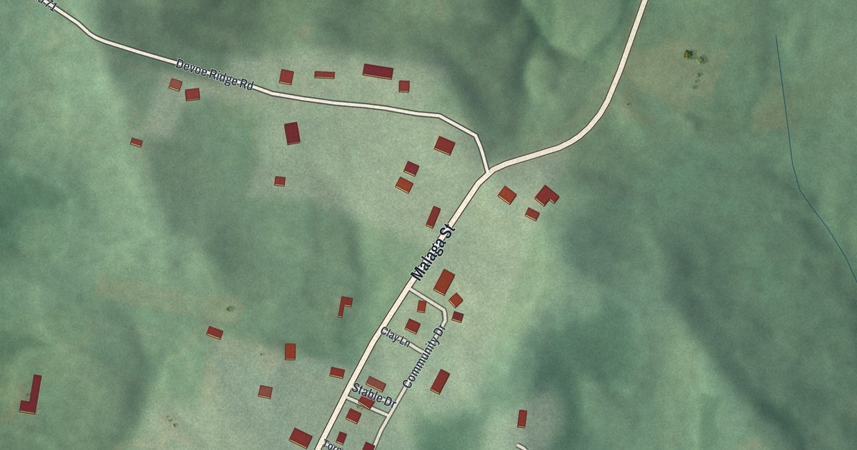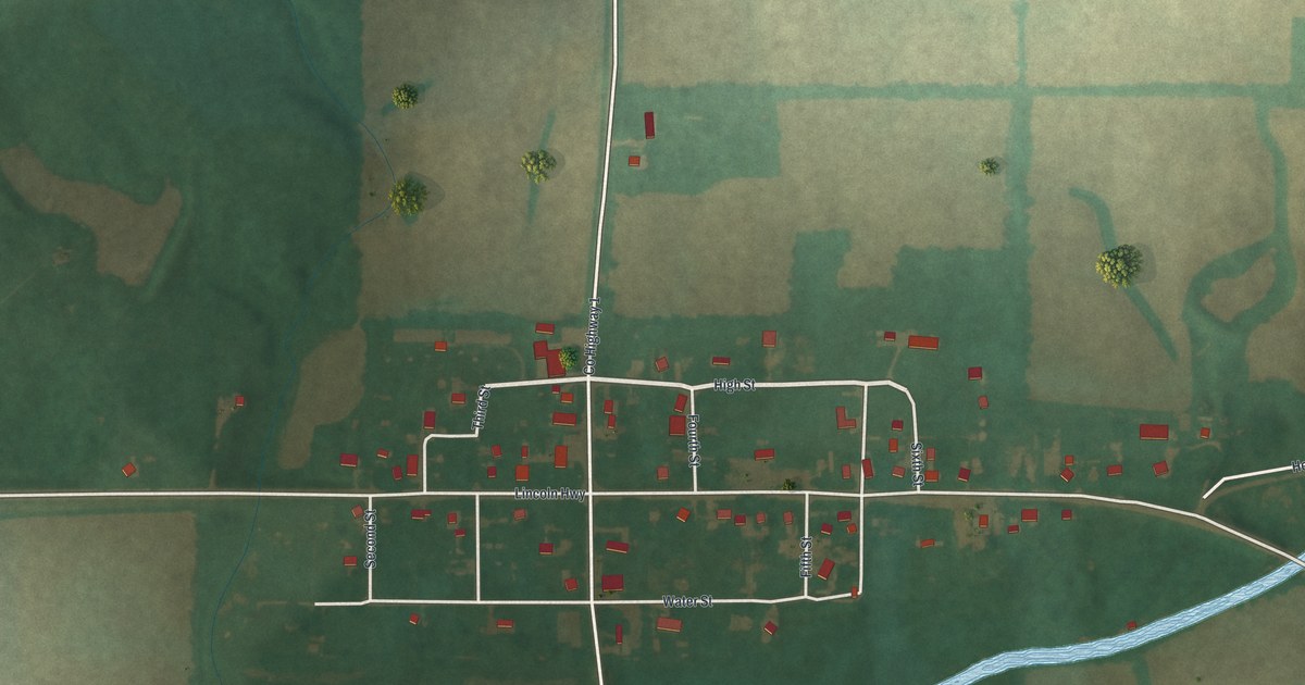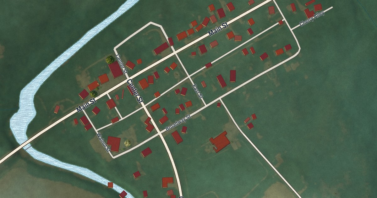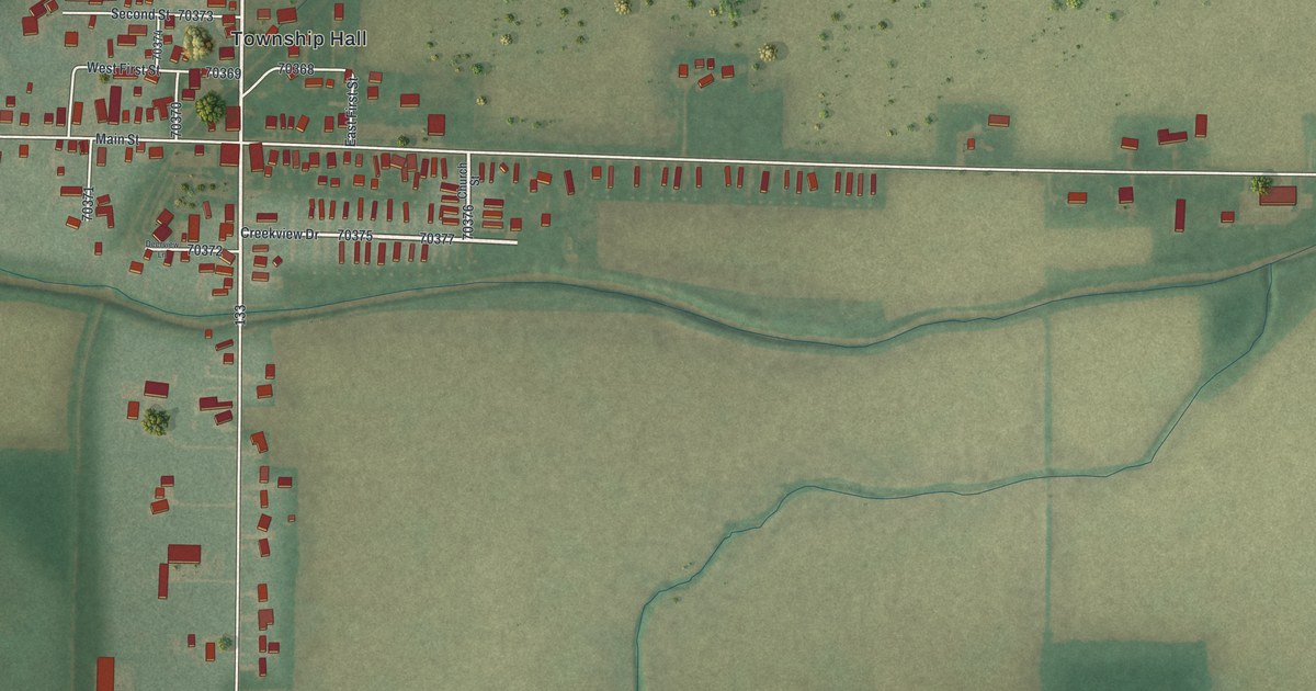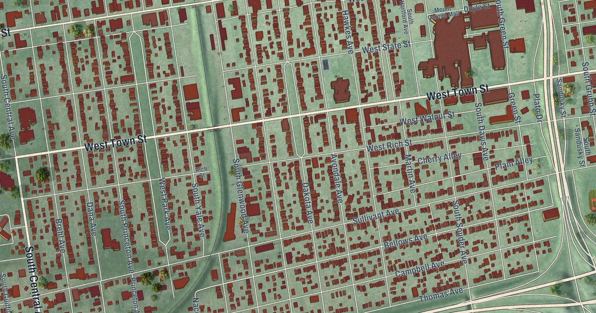
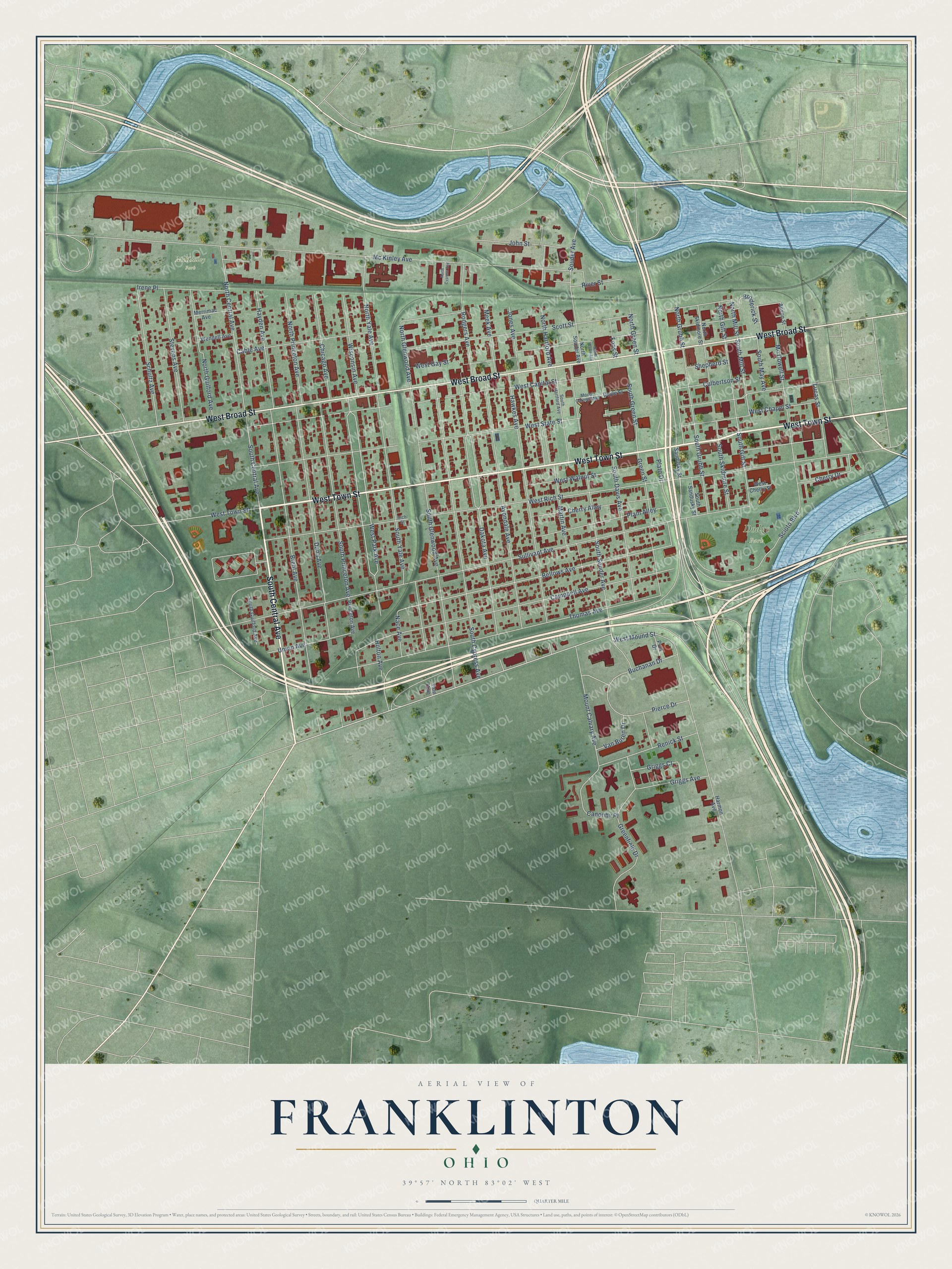
This beautifully detailed map of Franklinton, Ohio was created in 2026 using aerial imagery combined with modern topographical, census, street and landmark data. It’s a one-of-a-kind view of Franklinton that combines accurate data with a vintage aesthetic. The map shows every building in its true location, many of the roads carry their names, and the shaded topographic relief shows the shape of the land.
Explore an aerial view of Franklinton, Ohio
On the map you’ll find Dodge Park and McKinley Park, along with West Town Street, South Central Avenue, West Broad Street, West Mound Street, Bellows Avenue, West Park Avenue, Dana Avenue, South Mill Street, North Glenwood Avenue, Green Street, and more. If you look closely you can even find your house accurately drawn in its correct location. Zoom in on the preview to look for yours.
Did You Know?
From the 1908 20th Century History of Delaware County, Ohio: "Early in 1802 he left Philadelphia and after an adventurous trip on •horseback, lasting two months, arrived at Franklinton, Franklin County, the settlement nearest the land he sought."
Franklinton is a place in Franklin County.
Take a closer look at the Franklinton map
Names on this map
These names are printed on this map.
Places: Dodge Park and McKinley Park.
Streets and roads: West Town Street, South Central Avenue, West Broad Street, West Mound Street, Bellows Avenue, West Park Avenue, Dana Avenue, South Mill Street, North Glenwood Avenue, Green Street, West Rich Street, Sullivant Avenue.
More street names, A to Z
Anson Street, Avondale Avenue, Brehl Avenue, Broderick Street, Buchanan Drive, Cable Avenue, Campbell Avenue, Canonby Place, Cherry Alley, Cherry Drive, Chicago Avenue, Culbertson Street, Dakota Avenue, Doyle Street, Foos Street, Greenfield Drive, Griggs Avenue, Griggs Court, Harmon Avenue, Hawkes Avenue, Hayden Avenue, Holton Avenue, Irene Place, John Street, Jones Avenue, Lucas Street, Martin Avenue, Mc Dowell Street, Mc Kinley Avenue, Meek Avenue, Merrimac Avenue, Mount Calvary Avenue, Mount Carmel Mall, Nace Avenue, North Central Avenue, North Cypress Avenue, North Davis Avenue, North Gift Street, North Green Street, North Grubb Street, North Guilford Avenue, North Hartford Avenue, North Mill Street, North Princeton Avenue, North Skidmore Street, North Souder Avenue, North Yale Avenue, Pierce Drive, Plain Alley, Plato Drive, Polk Drive, Princeton Avenue, Renick Street, Rich Street, River Street, Rodgers Avenue, Sandusky Street, Schultz Avenue, Scioto Boulevard, Scott Street, Shepherd Street, Souder Avenue, South Cypress Avenue, South Davis Avenue, South Gift Street, South Glenwood Avenue, South Green Street, South Grubb Street, South Guilford Avenue, South Hartford Avenue, South May Avenue, South Princeton Avenue, South Sandusky Street, South Skidmore Street, South Souder Avenue, South Yale Avenue, Stevens Avenue, Thomas Avenue, Union Avenue, Van Buren Drive, Wendell Avenue, West Capital Street, West Chapel Street, West Cherry Street, West Gay Street, West State Street, West Walnut Street, Wisconsin Avenue, Yale Avenue.
See it on a wall
The Franklinton map as a framed print. Swipe for more.


This beautifully detailed map of Franklinton makes an attractive addition to your office, library, or den, and it can even be used to teach children the geography and history of the area. It also makes a great gift for anyone with Franklinton roots. When you’re done exploring, click here to get your copy of the Franklinton map.