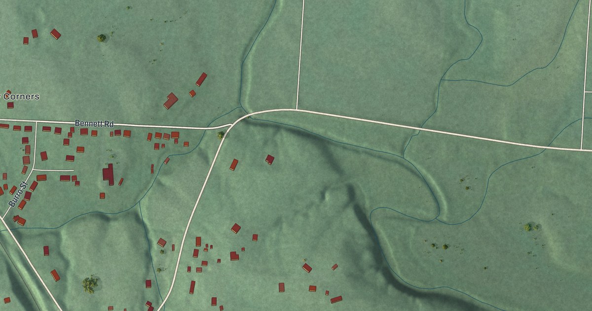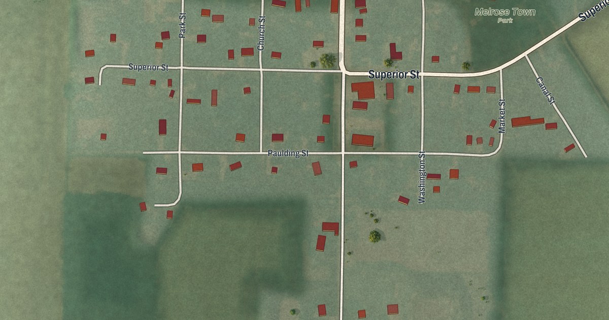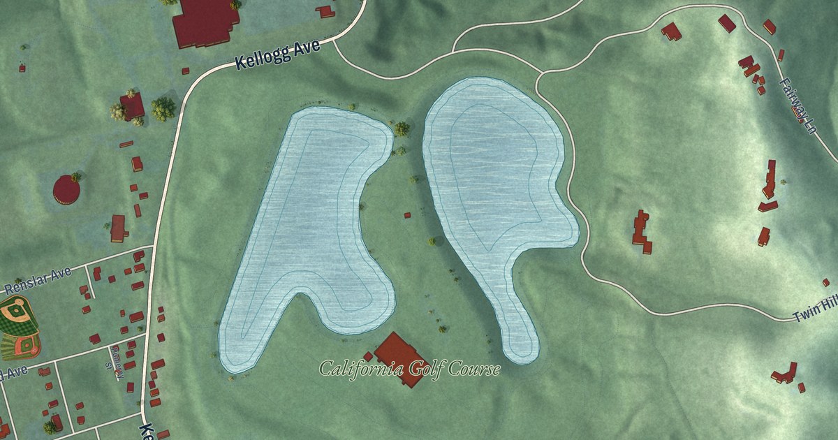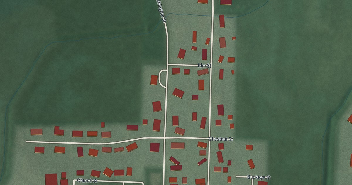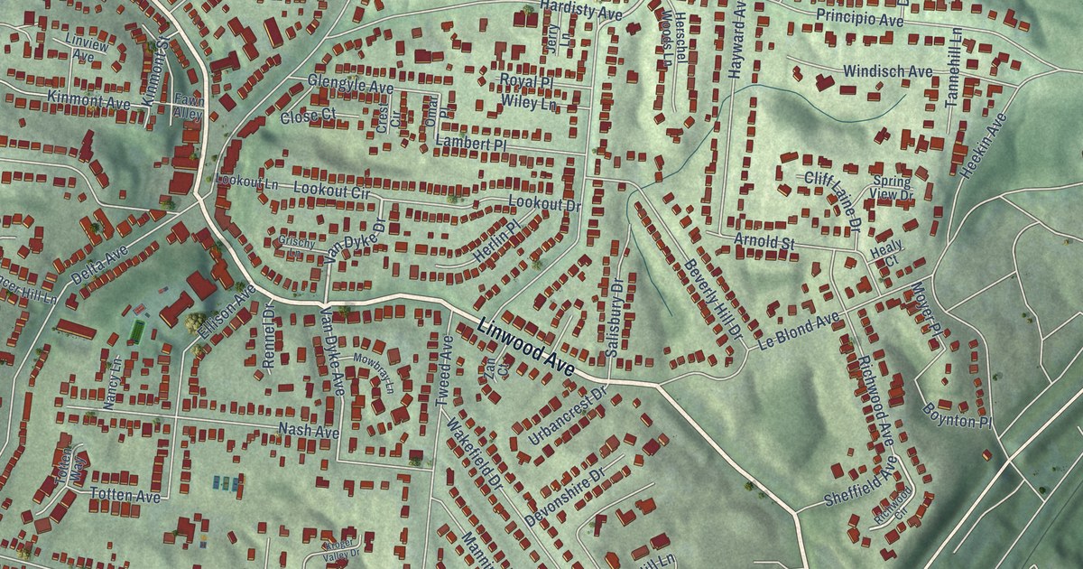
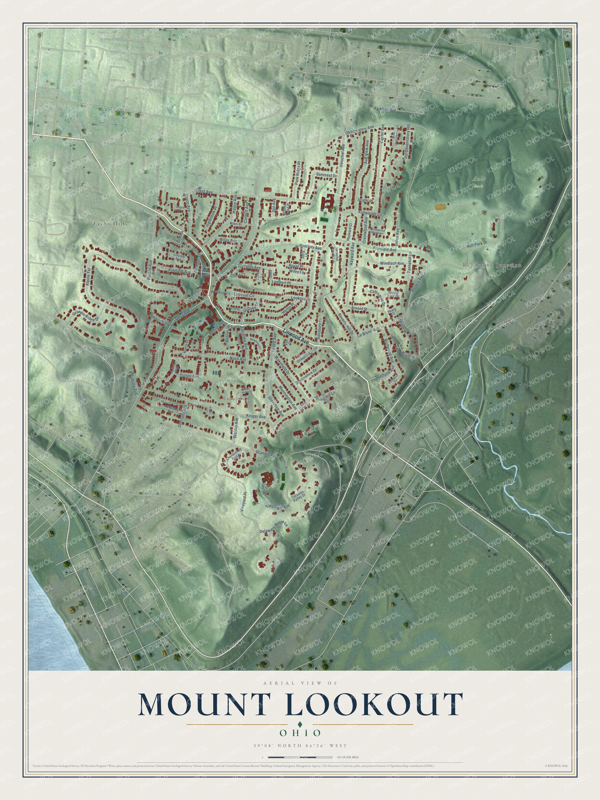
This beautifully detailed map of Mount Lookout, Ohio was created in 2026 using aerial imagery combined with modern topographical, census, street and landmark data. It’s a one-of-a-kind view of Mount Lookout that combines accurate data with a vintage aesthetic. The map shows every building in its true location, many of the roads carry their names, and the shaded topographic relief shows the shape of the land.
Explore an aerial view of Mount Lookout, Ohio
On the map you’ll find Ault Park, Tusculum, Faxon Hills, and Rendcomb Junction, along with Linwood Avenue, Herschel Avenue, Van Dyke Drive, Van Dyke Avenue, Lookout Circle, Totten Avenue, Delta Avenue, Observatory Avenue, and more. If you look closely you can even find your house accurately drawn in its correct location. Zoom in on the preview to look for yours.
Did You Know?
From Internet Archive: "The Delta station, on the Little Miami railroad, and the termini of the Columbia and Mount Lookout dummy railroads, are at the latter point."
Mount Lookout is a place in Hamilton County.
Take a closer look at the Mount Lookout map
Names on this map
These names are printed on this map.
Places: Ault Park, Tusculum, Faxon Hills and Rendcomb Junction.
Streets and roads: Linwood Avenue, Herschel Avenue, Van Dyke Drive, Van Dyke Avenue, Lookout Circle, Totten Avenue, Delta Avenue, Observatory Avenue, Alpine Terrace, Ault Park Drive, Kroger Avenue, Heekin Avenue.
More street names, A to Z
Arnold Street, Ault View Avenue, Aultwoods Lane, Beverly Hill Drive, Boynton Place, Brookwood Meadows, Catawba Valley Drive, Chardonnay Ridge, Cliff Laine Drive, Close Court, Corbett Avenue, Crest Circle, Crestwood Avenue, Custer Avenue, Delaware Ridge Lane, Devonshire Drive, Dillon Avenue, Earls Court Vw, East Observatory Hill, Ellison Avenue, Fawn Alley, Glengyle Avenue, Glenshire Avenue, Grace Avenue, Grandin Ridge Drive, Grandin Road, Griest Avenue, Grischy Lane, Halpin Avenue, Hardisty Avenue, Hayward Avenue, Hayward Court, Healy Court, Herlin Place, Herschel Woods Lane, Hidden Wood Place, Inglenook Place, Isis Avenue, Jerry Lane, Kinmont Avenue, Kinmont Street, Kleybolte Avenue, Kroger Lane, Kroger Valley Drive, Lambert Place, Le Blond Avenue, Linview Avenue, Lookout Drive, Lookout Lane, Mannington Avenue, McGuffey Avenue, Mowbray Lane, Moyer Place, Nancy Lane, Nash Avenue, Niles Street, Omar Place, Overland Avenue, Parkline Avenue, Park Ridge Place, Paxton Avenue, Principio Avenue, Priscilla Lane, Rennel Drive, Richwood Avenue, Richwood Circle, Royal Place, Salisbury Drive, Sheffield Avenue, Spencer Hill Lane, Spring Hill Lane, Spring View Drive, Stanley Avenue, Suncrest Drive, Tannehill Lane, Totten Way, Tusculum Avenue, Tweed Avenue, Urbancrest Drive, Uright Place, Utopia Place, Vineyard Place, Wakefield Drive, West Observatory Hill, Wiley Lane, Willis Avenue, Windisch Avenue, Zan Court.
See it on a wall
The Mount Lookout map as a framed print. Swipe for more.


This beautifully detailed map of Mount Lookout makes an attractive addition to your office, library, or den, and it can even be used to teach children the geography and history of the area. It also makes a great gift for anyone who grew up in Mount Lookout or moved away. When you’re done exploring, click here to get your copy of the Mount Lookout map.