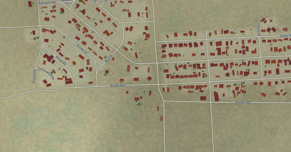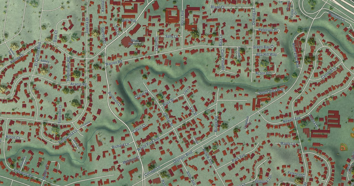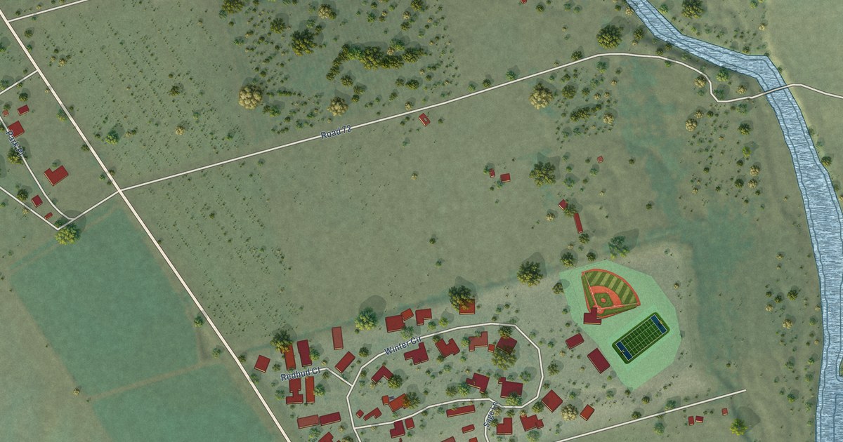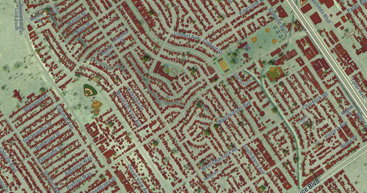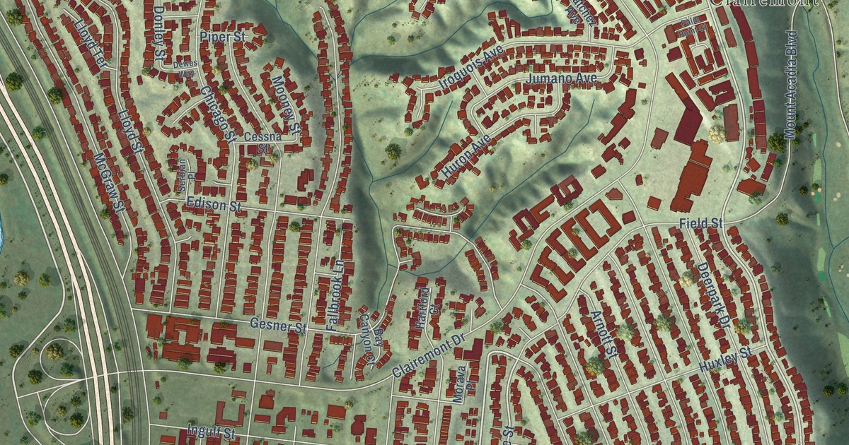
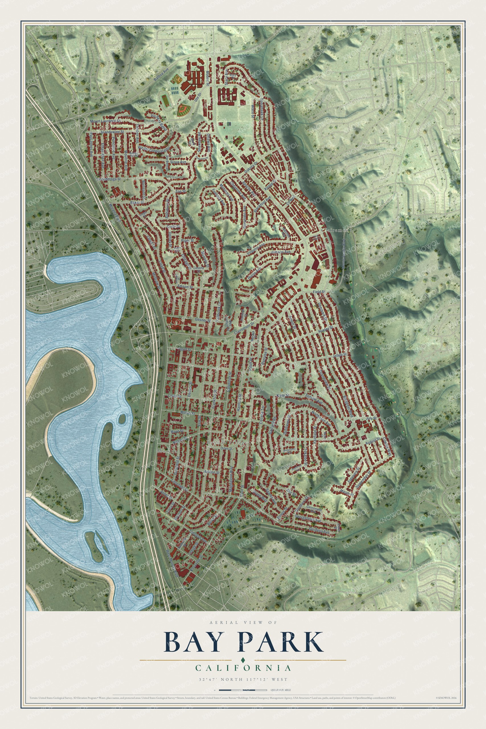
This beautifully detailed map of Bay Park, California was created in 2026 using aerial imagery combined with modern topographical, census, street and landmark data. It’s a one-of-a-kind view of Bay Park that combines accurate data with a vintage aesthetic. The map shows every building in its true location, many of the roads carry their names, and the shaded topographic relief shows the shape of the land.
Explore an aerial view of Bay Park, California
On the map you’ll find Morena, Bayside Village, and Clairemont, along with Gardena Avenue, Gesner Street, Brandywine Street, Illion Street, Ute Drive, Cowley Way, Ingulf Street, Penrose Street, Baltimore Street, and more. If you look closely you can even find your house accurately drawn in its correct location. Zoom in on the preview to look for yours.
Did You Know?
From Internet Archive: "Of Bay Park and Paul Tract Improvenient Club, for the improvement of Paul avenue, between San Brnno and Railroad avenues."
Bay Park is a place in San Diego County.
Take a closer look at the Bay Park map
Names on this map
These names are printed on this map.
Places: Morena, Bayside Village and Clairemont.
Streets and roads: Gardena Avenue, Gesner Street, Brandywine Street, Illion Street, Ute Drive, Cowley Way, Ingulf Street, Penrose Street, Baltimore Street, Kane Street, Paul Jones Avenue, Garfield Road.
More street names, A to Z
Apache Avenue, Arnott Street, Asher Street, Ashton Street, August Street, Baker Street, Balboa Avenue, Bay Canyon Court, Bervy Street, Blackfoot Avenue, Bonus Drive, Borreson Street, Bunker Hill Street, Burgener Boulevard, Cecelia Terrace, Cessna Street, Cheyenne Avenue, Chicago Street, Clairemont Drive, Cll Neil, Crete Street, Cross Street, Dakota Drive, Deerpark Drive, Denver Street, Dewes Way, Donley Street, Dunhaven Street, Edison Street, Erie Street, Ethan Allen Avenue, Fairfield Street, Fallbrook Lane, February Street, Field Street, Fontana Avenue, Frankfort Street, Galveston Street, Gasconade Avenue, Georgetown Avenue, Geronimo Avenue, Goldboro Street, Goldfield Street, Grandview Street, Hartford Court, Hartford Street, Huron Avenue, Huxley Street, Ingulf Place, Iroquois Avenue, Jellett Street, July Street, Jumano Avenue, Knapp Street, Knoxville Street, Lehigh Street, Lieta Street, Lister Street, Littlefield Street, Lloyd Place, Lloyd Street, Lloyd Terrace, Magdalene Way, March Place, Mark Terrace, Mayo Street, McGraw Street, Milton Court, Milton Street, Modoc Street, Mohican Avenue, Mooney Street, Morava Place, Morena Boulevard, Morenci Street, Moultrie Avenue, Mount Acadia Boulevard, Mount Laurence Drive, Napier Street, Nashville Street, Natchez Avenue, Northaven Avenue, Orten Street, Ottawa Avenue, Palm Point Court, Piper Street, Pridemore Place, Princeton Avenue, September Street, Serbian Place, Shawnee Road, Sioux Avenue, Sky Street, Somam Avenue, Southcrest Avenue, Sparks Avenue, Stacy Avenue, Stacy Place, Ticonderoga Street, Tokalon Street, Tomahawk Lane, Tonopah Avenue, Trenton Avenue, Via Beltran, Via del Conquistador, Viane Way, Vis de la Bahia, Waco Street, West Morena Boulevard, Whitehaven Way, Zoe Street.
See it on a wall
The Bay Park map as a framed print. Swipe for more.


This beautifully detailed map of Bay Park makes an attractive addition to your office, library, or den, and it can even be used to teach children the geography and history of the area. It also makes a great gift for someone who left Bay Park and still calls it home. When you’re done exploring, click here to get your copy of the Bay Park map.