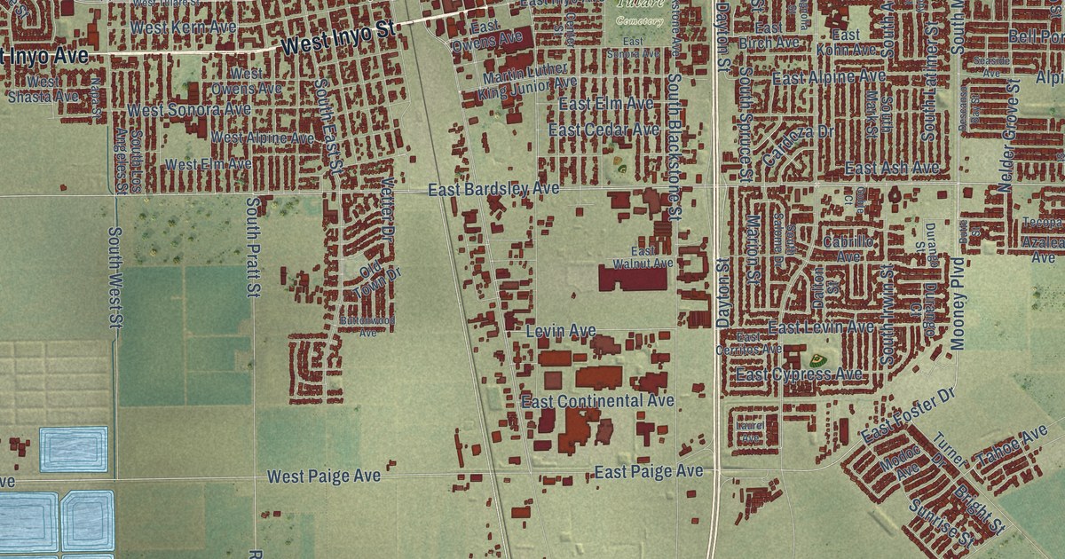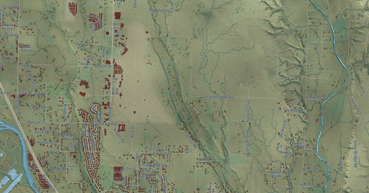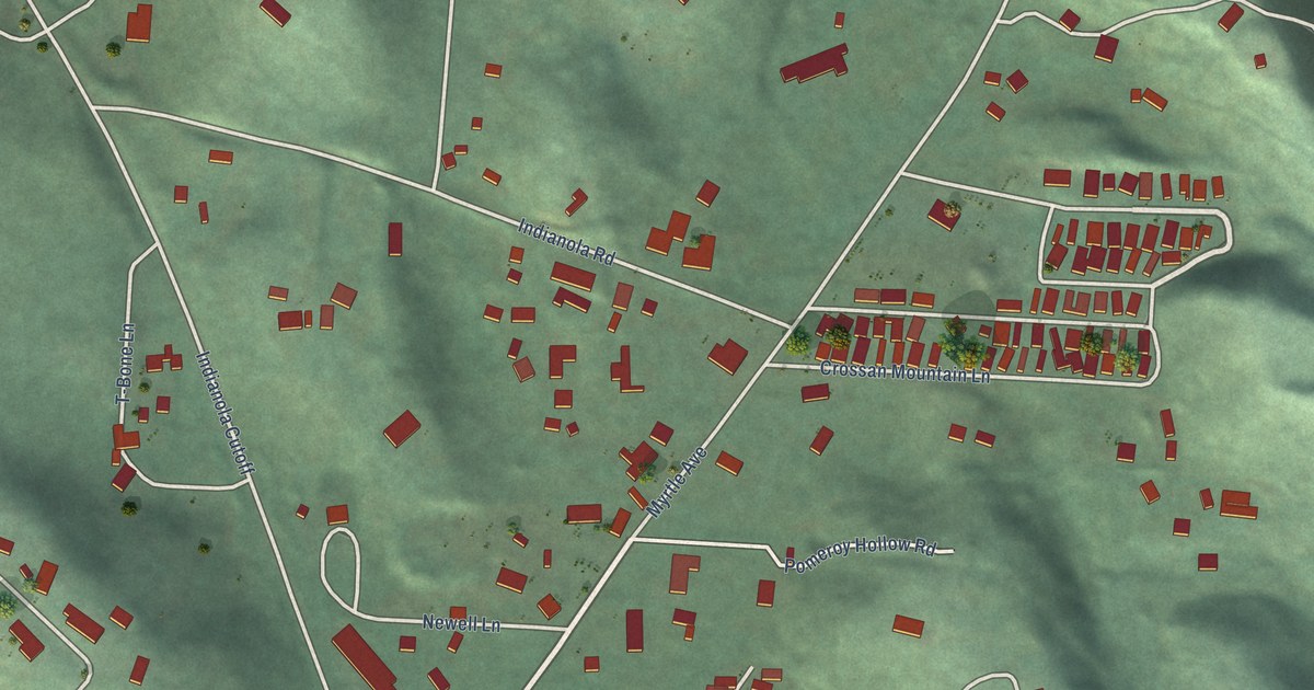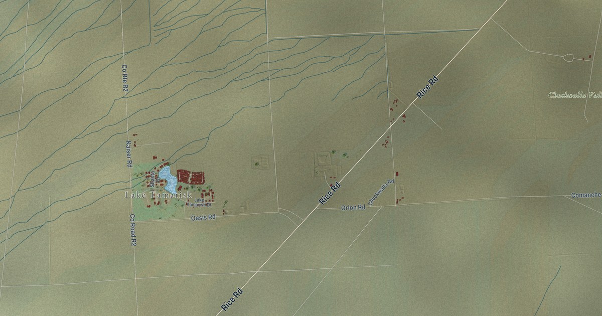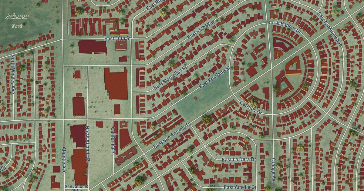
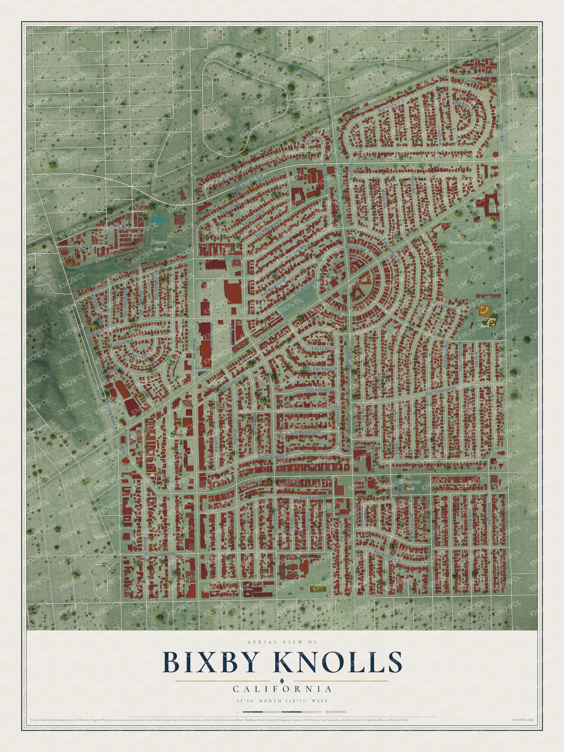
This beautifully detailed map of Bixby Knolls, California was created in 2026 using aerial imagery combined with modern topographical, census, street and landmark data. It’s a one-of-a-kind view of Bixby Knolls that combines accurate data with a vintage aesthetic. The map shows every building in its true location, many of the roads carry their names, and the shaded topographic relief shows the shape of the land.
Explore an aerial view of Bixby Knolls, California
On the map you’ll find Forest Lawn, Long Beach, Scherer Park, Cherry Park, Somerset Park, and California Heights, along with East Del Amo Boulevard, North Bentree Avenue, California Avenue, East Goldfield Avenue, East Hardwick Street, Orange Avenue, Gundry Avenue, and more. If you look closely you can even find your house accurately drawn in its correct location. Zoom in on the preview to look for yours.
Take a closer look at the Bixby Knolls map
Names on this map
These names are printed on this map.
Places: Scherer Park, Cherry Park, Somerset Park and California Heights.
Streets and roads: East Del Amo Boulevard, North Bentree Avenue, California Avenue, East Goldfield Avenue, East Hardwick Street, Orange Avenue, Gundry Avenue, East San Antonio Drive, Atlantic Avenue, Carson Street, Walnut Avenue, North Long Beach Boulevard.
More street names, A to Z
Boyar Avenue, Brayton Avenue, California Place, Cerritos Avenue, Cerritos Drive, Cherry Avenue, East 44th Circle, East 44th Street, East 44th Way, East 45th Street, East 45th Way, East 46th Street, East 47th Street, East 49th Street, East 52nd Street, East Amelia Drive, East Andrews Drive, East Arbor Street, East Armando Drive, East Burlinghall Drive, East Cartagena Street, East Claiborne Drive, East Freeland Street, East Jackson Street, East Keever Avenue, East Keever Place, East La Dera Drive, East Luray Street, East Marcellus Street, East Marshall Place, East Ridgewood Street, East Roosevelt Road, East Silva Street, East Tehachapi Drive, East Terrace Drive, Elm Avenue, Falcon Avenue, Gardenia Avenue, Gaviota Avenue, Lemon Avenue, Lewis Avenue, Lime Avenue, Linden Avenue, Locust Avenue, Marron Avenue, Marron Place, Matney Avenue, Maury Avenue, Myrtle Avenue, North Atlantic Place, North Banner Drive, North Bentree Circle, North Business Street, North Deal Drive, North Falcon Avenue, North Gaviota Avenue, North Jotham Place, North Marshall Way, North Raton Circle, North Rose Avenue, North Tolbert Avenue, North Whaley Avenue, Olive Avenue, Pasadena Avenue, Rose Avenue, San Antonio Plaza.
See it on a wall
The Bixby Knolls map as a framed print. Swipe for more.


This beautifully detailed map of Bixby Knolls makes an attractive addition to your office, library, or den, and it can even be used to teach children the geography and history of the area. It also makes a great gift for anyone with Bixby Knolls roots. When you’re done exploring, click here to get your copy of the Bixby Knolls map.