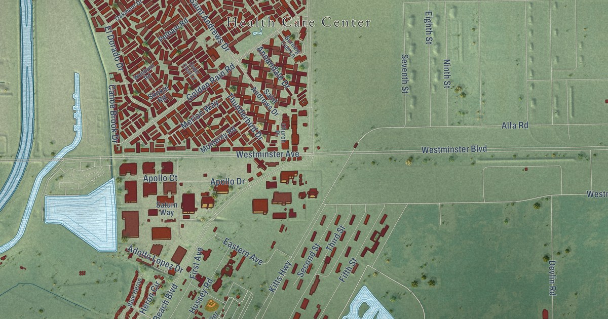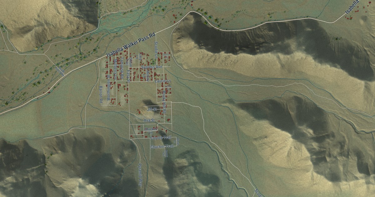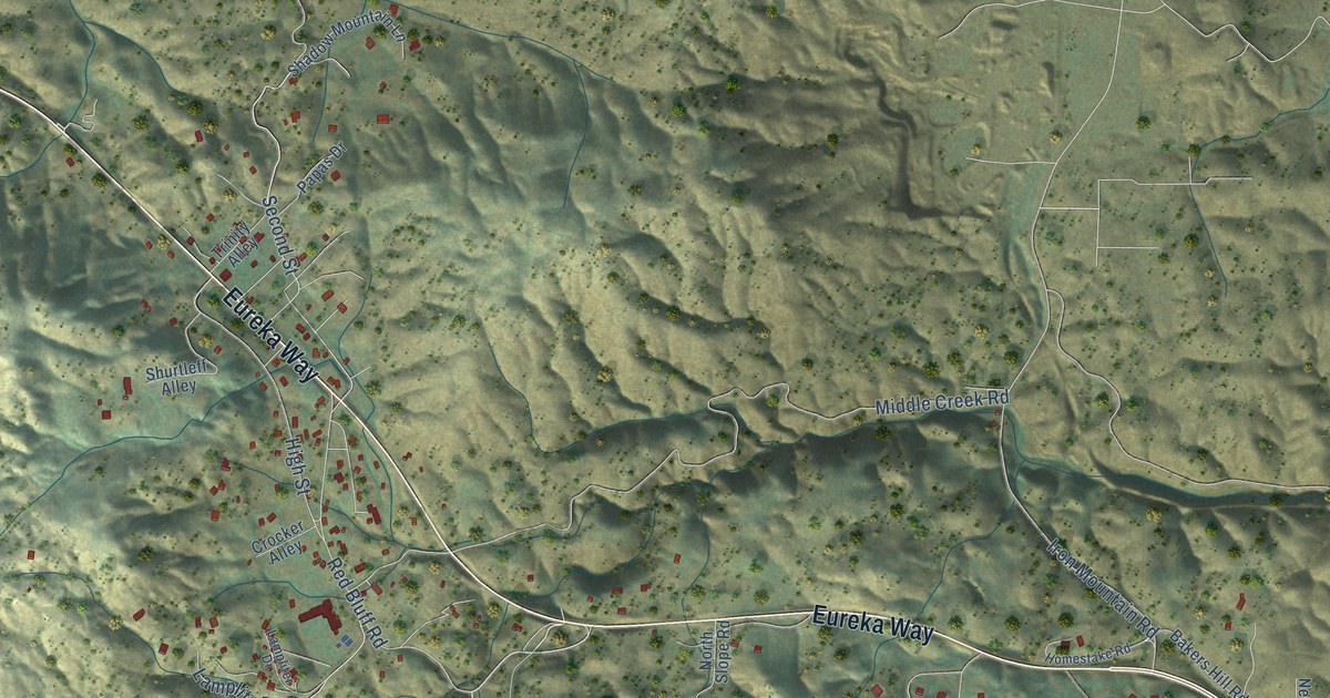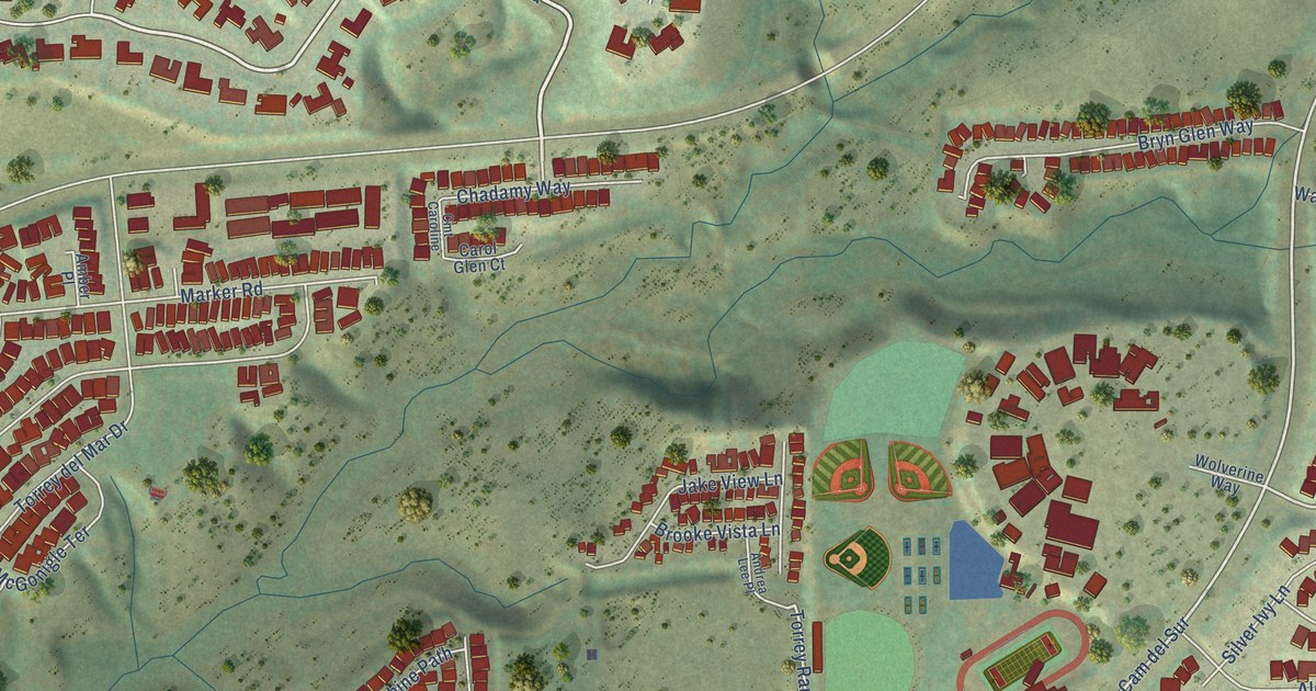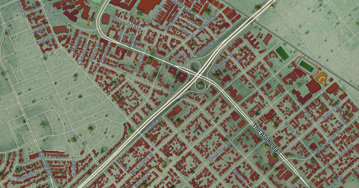
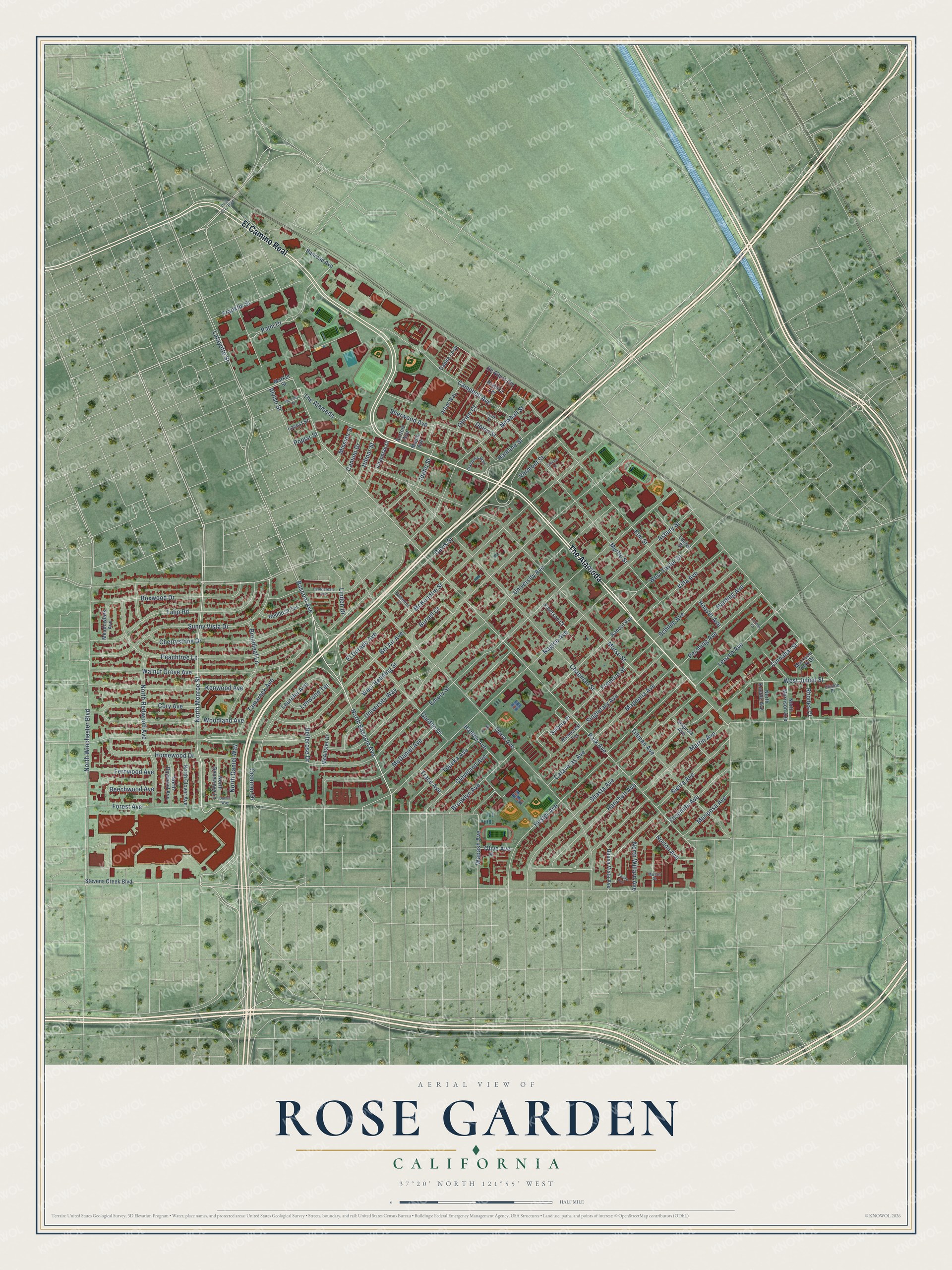
This beautifully detailed map of Rose Garden, California was created in 2026 using aerial imagery combined with modern topographical, census, street and landmark data. It’s a one-of-a-kind view of Rose Garden that combines accurate data with a vintage aesthetic. The map shows every building in its true location, many of the roads carry their names, and the shaded topographic relief shows the shape of the land.
Explore an aerial view of Rose Garden, California
On the map you’ll find The Alameda and El Camino Real, along with North Monroe Street, North Bascom Avenue, Bascom Avenue, Forest Avenue, Wabash Avenue, Park Avenue, Alviso Street, Naglee Avenue, North Winchester Boulevard, West Julian Street, and more. If you look closely you can even find your house accurately drawn in its correct location. Zoom in on the preview to look for yours.
Did You Know?
From Internet Archive: "The Rose Garden Although rose bushes can be plan'. •<l any time of the year when they ai established in pots or can, they can now be dug up and transplanted ii their bare roots."
Rose Garden is a place in Santa Clara County.
Take a closer look at the Rose Garden map
Names on this map
These names are printed on this map.
Streets and roads: The Alameda, El Camino Real, North Monroe Street, North Bascom Avenue, Bascom Avenue, Forest Avenue, Wabash Avenue, Park Avenue, Alviso Street, Naglee Avenue, North Winchester Boulevard, West Julian Street.
More street names, A to Z
Alameda Way, Arabica Terrace, Arbol Way, Asbury Street, Beechwood Avenue, Bel Air Avenue, Bellerose Drive, Bellomy Street, Boxwood Drive, Broadleaf Lane, Brooklyn Avenue, Buena Vista Avenue, Burrell Court, Calaveras Avenue, Camino Drive, Campbell Avenue, Chapman Court, Chapman Street, Cherrystone Drive, Cinnabar Street, Cleveland Avenue, Clinton Place, Cook Street, Cory Avenue, Dahlia Loop, Dana Avenue, Daniel Way, Davis Street, De Altura Cm, De la Cruz Boulevard, Delno Street, El Dorado Avenue, Elm Street, Emerson Court, Emory Street, Fernwood Avenue, Fiesta Avenue, Franklin Street, Fremont Street, Garden Drive, Hadley Avenue, Hamline Street, Hanchett Avenue, Harding Avenue, Heatherdale Avenue, Hester Avenue, Hilmar Street, Homewood Drive, Hoover Avenue, Idaho Street, Katherine Court, Kenwood Avenue, Lafayette Street, Laurelei Avenue, Laurel Street, Lenzen Avenue, Lenzen Court, Linden Drive, Locust Street, Lynwood Terrace, Magnolia Avenue, Maple Avenue, Mariposa Avenue, Market Street, Martin Avenue, McAlister Drive, McDaniel Avenue, McKendrie Street, Meadowlark Avenue, Mission Street, Morrison Park Drive, Morse Street, Muller Place, Myrtle Street, Newhall Street, North Baywood Avenue, North Clover Avenue, North Daniel Way, North Genevieve Lane, North Keeble Avenue, North Morrison Avenue, North Redwood Avenue, North Willard Avenue, Norton Avenue, Obrien Court, Oconnor Drive, Olive Avenue, Palm Drive, Peachtree Lane, Pershing Avenue, Poplar Street, Portola Avenue, Railroad Avenue, Randol Avenue, Redbush Terrace, Rhodes Court, Rosecrest Terrace, Schiele Avenue, Selborn Place, Sequoia Avenue, Shasta Avenue, Sherwood Avenue, Sierra Avenue, Silicon Drive, Singletary Avenue, Stevens Creek Boulevard, Sunny Vista Drive, Tamarack Avenue, Tillman Avenue, Topeka Avenue, Trace Avenue, Tulip Road, University Avenue, University Way, Vermont Street, Villa Avenue, Walnut Grove Avenue, West Hedding Street, West Taylor Street, Woodland Avenue, Yosemite Avenue.
See it on a wall
The Rose Garden map as a framed print. Swipe for more.


This beautifully detailed map of Rose Garden makes an attractive addition to your office, library, or den, and it can even be used to teach children the geography and history of the area. It also makes a great gift for anyone who grew up in Rose Garden or moved away. When you’re done exploring, click here to get your copy of the Rose Garden map.