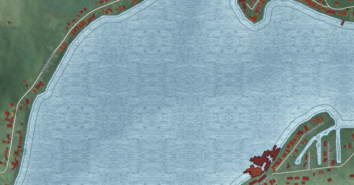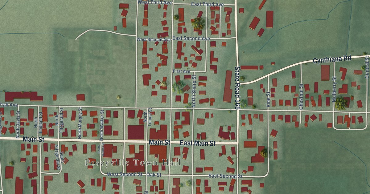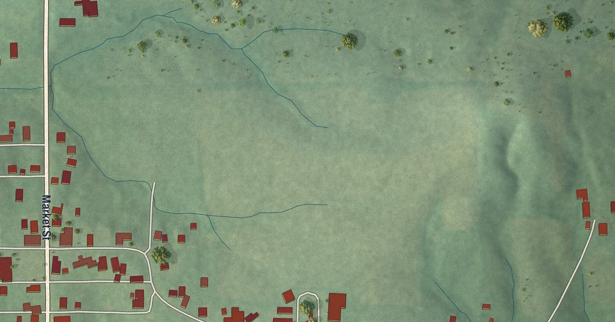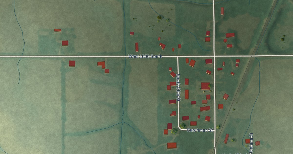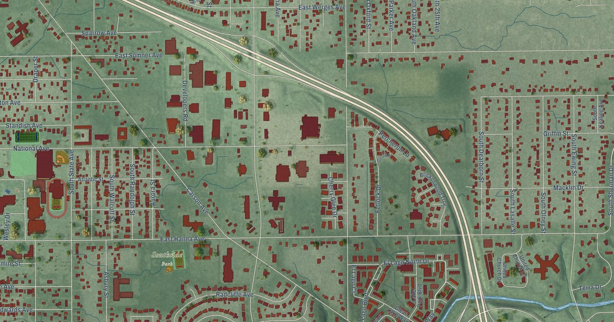
This beautifully detailed map of University Heights, Indiana was created in 2026 using aerial imagery combined with modern topographical, census, street and landmark data. It’s a one-of-a-kind view of University Heights that combines accurate data with a vintage aesthetic. The map shows every building in its true location, many of the roads carry their names, and the shaded topographic relief shows the shape of the land.
Explore an aerial view of University Heights, Indiana
On the map you’ll find Southside Park, along with Creek Way, Sherman Drive, Owster Lane, Fox Harbour North Drive, South Sherman Drive, Owster Way, Dawson Street, Martin Street, East Markwood Avenue, East Hanna Avenue, Carson Avenue, and more. If you look closely you can even find your house accurately drawn in its correct location. Zoom in on the preview to look for yours.
Did You Know?
From Internet Archive: "The incorporated cities in Marion county outside of Indianapolis are Beech Grove, Castleton, Southport, University Heights, Broad Ripple and Clermont."
University Heights is a place in Marion County.
Take a closer look at the University Heights map
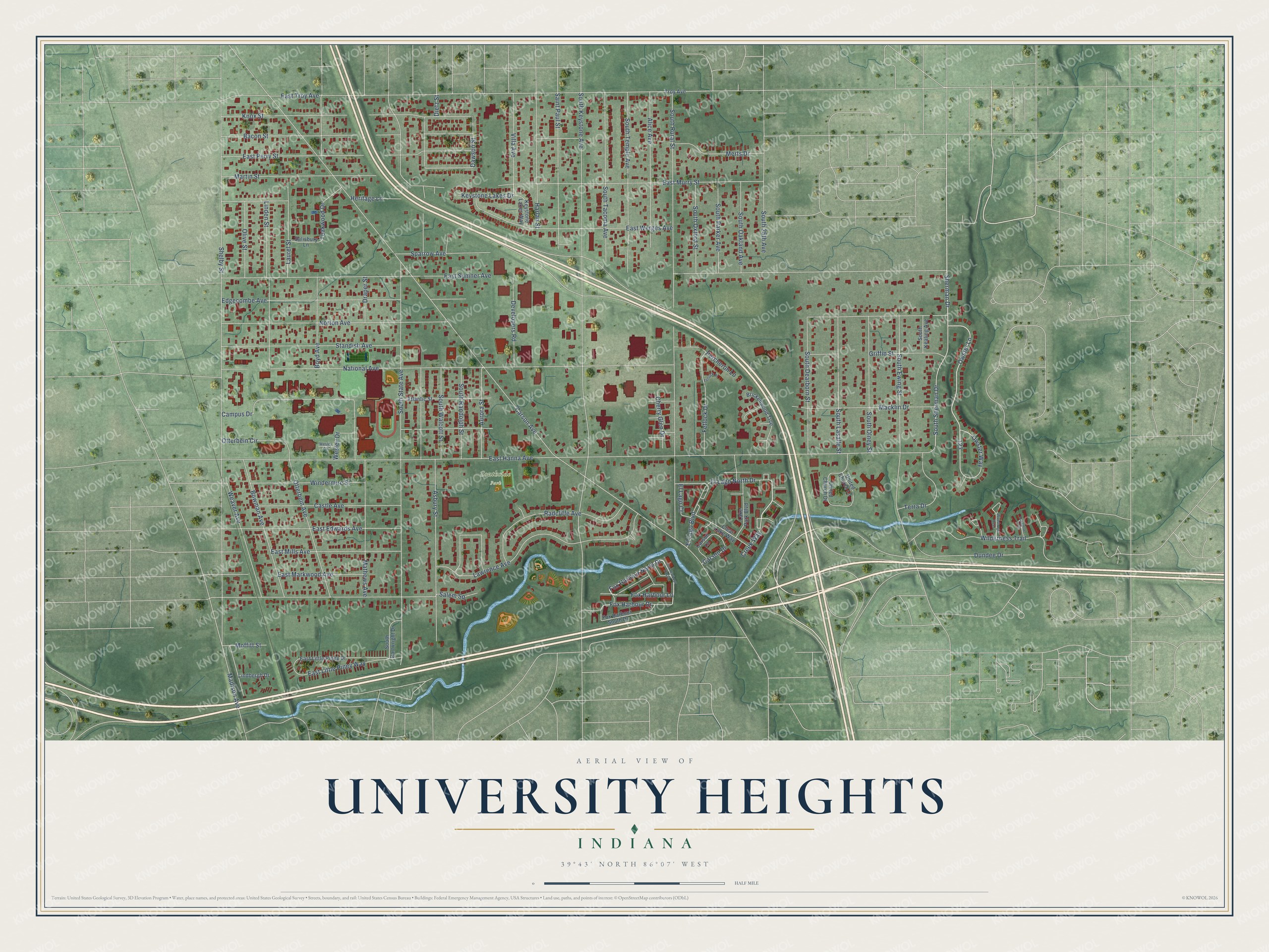
Names on this map
These names are printed on this map.
Places: Southside Park.
Streets and roads: Creek Way, Sherman Drive, Owster Lane, Fox Harbour North Drive, South Sherman Drive, Owster Way, Dawson Street, Martin Street, East Markwood Avenue, East Hanna Avenue, Carson Avenue, National Avenue.
More street names, A to Z
Alice Avenue, Asbury Street, Atlantic Street, Aurora Street, Bacon Street, Bowman Avenue, Boyd Avenue, Brickenwood Trce, Campus Drive, Carson Drive, Carson Lane, Castle Avenue, Cherry Glen Drive, Clear Lake Way, Developers Road, Dietz Street, Draper Street, Dundee Drive, East Edwards Avenue, East Little Piney Drive, East Little Piney Way, East Mills Avenue, East Murry Street, East Perry Street, East Sumner Avenue, East Troy Avenue, East Werges Avenue, Edgecombe Avenue, El Lago Boulevard, El Lago Court, El Lago North Drive, Fetlock Drive, Fetlock Place, Foxglove Trce, Fox Harbour Drive, Fox Harbour East Drive, Fox Harbour Lane, Fox Harbour South Drive, Griffin Street, Harlan Street, Heritage Lane, Keystone Lakes Drive, Keystone Lakes Way, Knox Street, Lake Park Boulevard, Laurel Street, Lawrence Avenue, Lindbergh Drive, Linden Street, Macklin Drive, Madison Avenue, Mathews Avenue, Merts Drive, Moffitt Street, Norton Avenue, Olive Street, Otterbein Avenue, Otterbein Circle, Percheron Lane, Radcliffe Avenue, Saint Paul Street, Salem Square, Salisbury Lane, Shelby Street, South 25th Avenue, South Cartwright Drive, South Dearborn Street, South Ewing Street, South Kealing Avenue, South Keystone Avenue, South Lasalle Street, South Oakland Avenue, South Olney Street, South Oxford Street, South Parker Avenue, South Randolph Street, South Rural Street, South State Avenue, South Tacoma Avenue, South Temple Avenue, South Walcott Street, Sparrow Avenue, Standish Avenue, Teakwood Drive, Terra Drive, Troy Avenue, United Church Drive, United Church Lane, Villa Avenue, Weaver Avenue, Wesley Circle, Wesley Drive, Wilderness Trail, Windermire Street, Woodsage Trce.
See it on a wall
The University Heights map as a framed print. Swipe for more.


This beautifully detailed map of University Heights makes an attractive addition to your office, library, or den, and it can even be used to teach children the geography and history of the area. It also makes a great gift for anyone with University Heights roots. When you’re done exploring, click here to get your copy of the University Heights map.