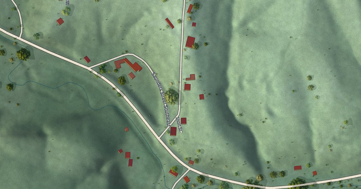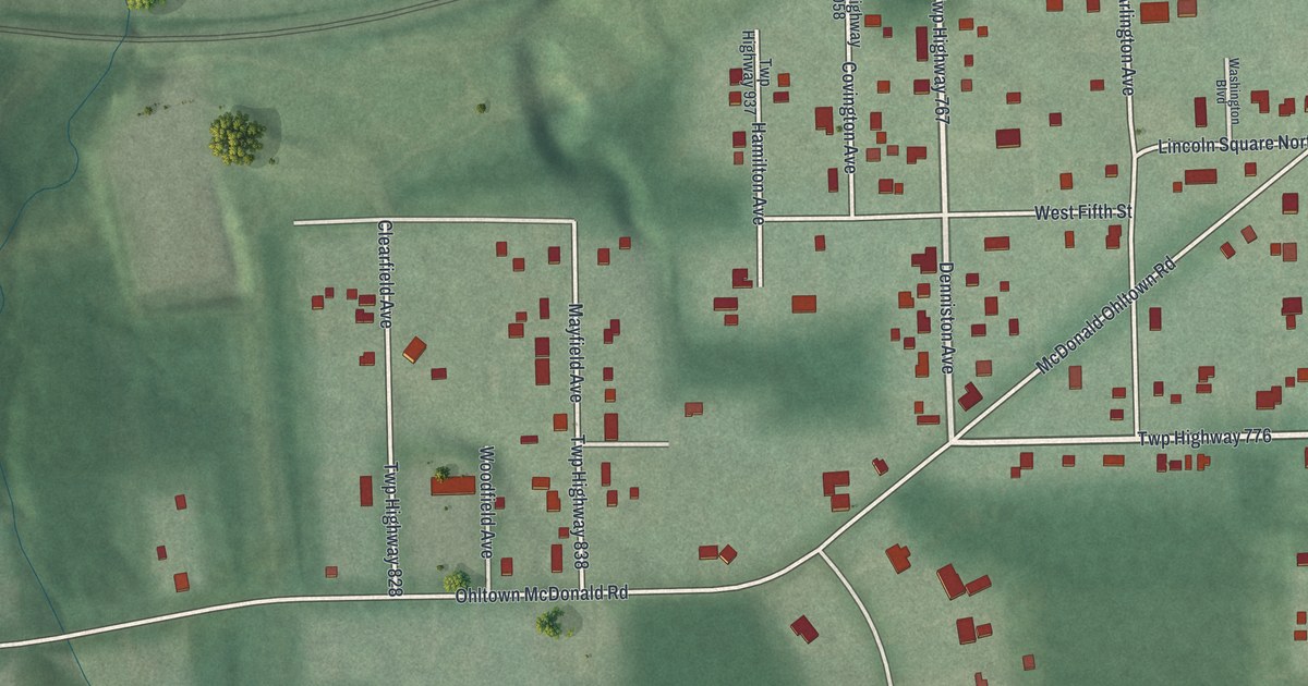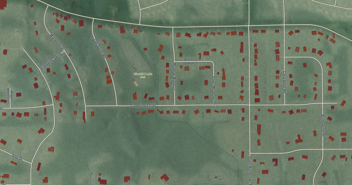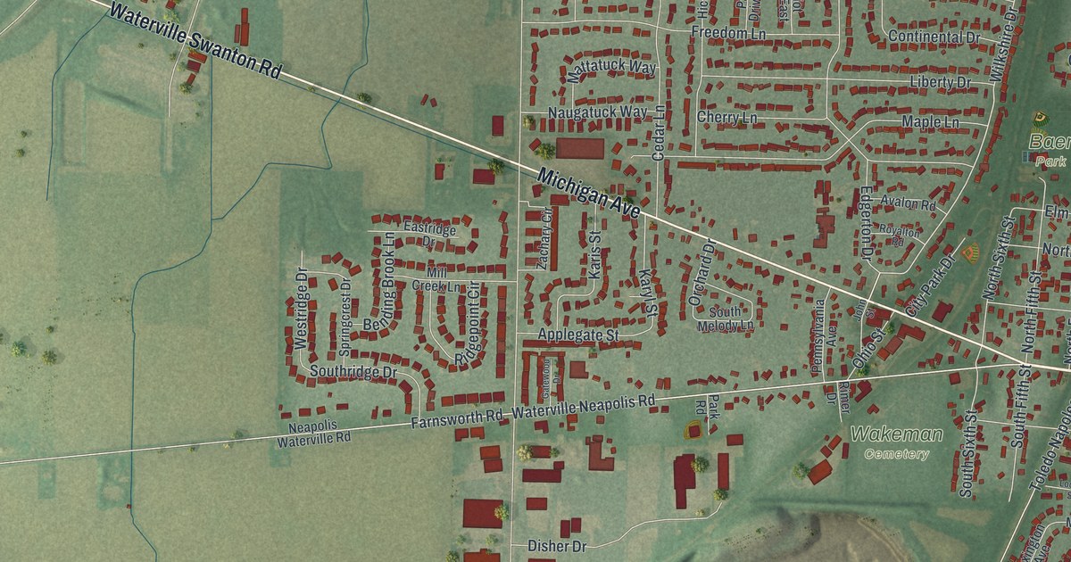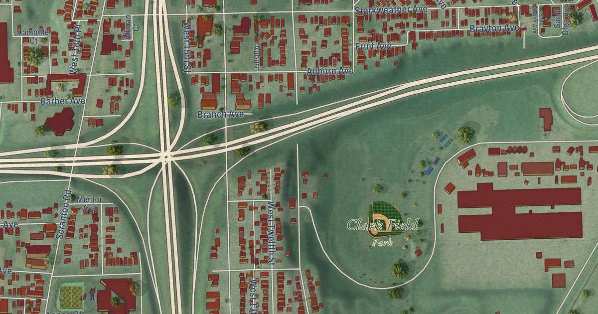
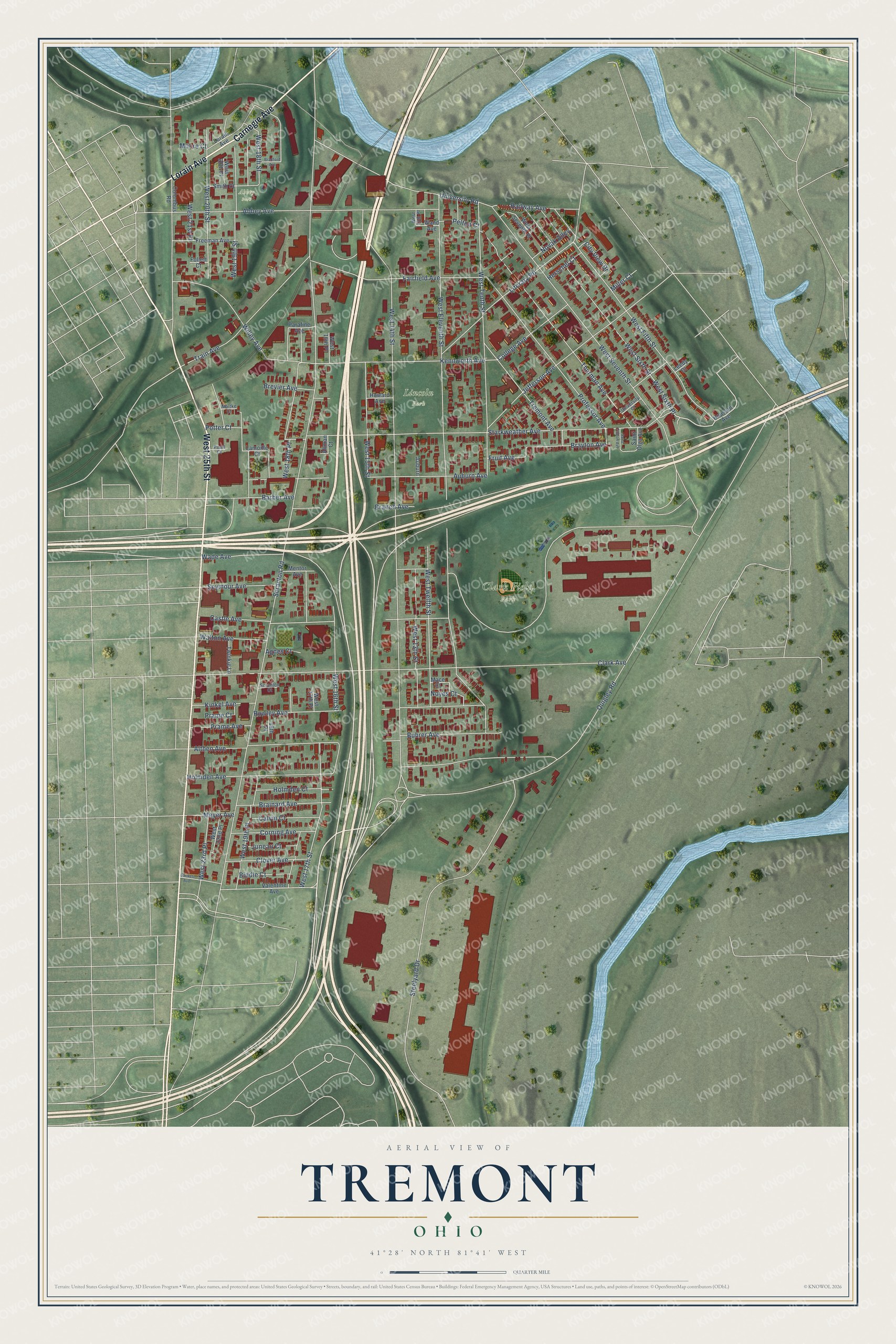
This beautifully detailed map of Tremont, Ohio was created in 2026 using aerial imagery combined with modern topographical, census, street and landmark data. It’s a one-of-a-kind view of Tremont that combines accurate data with a vintage aesthetic. The map shows every building in its true location, many of the roads carry their names, and the shaded topographic relief shows the shape of the land.
Explore an aerial view of Tremont, Ohio
On the map you’ll find Clark Field Park, Lincoln Park, Abbey Park, and West Sixth Place, along with West 25th Street, Lorain Avenue, Carnegie Avenue, West 17th Street, Kenilworth Avenue, Scranton Road, West 14th Street, West Eleventh Street, and more. If you look closely you can even find your house accurately drawn in its correct location. Zoom in on the preview to look for yours.
Did You Know?
From Internet Archive: "Just when a settlement was made by the Stormses around and above Tremont City and German township it is not definitely known, but William Chapman and 94 HISTOEY OF CLARK COUNTY William Eoss came near Tremont City in 1798."
Tremont is a place in Cuyahoga County.
Take a closer look at the Tremont map
Names on this map
These names are printed on this map.
Places: Clark Field Park, Lincoln Park and Abbey Park.
Streets and roads: West 25th Street, Lorain Avenue, Carnegie Avenue, West Sixth Place, West 17th Street, Kenilworth Avenue, Scranton Road, West 14th Street, West Eleventh Street, Clark Avenue, Starkweather Avenue, West Seventh Street.
More street names, A to Z
19th Place, Abbey Avenue, Agnes Court, Allman Court, Althen Avenue, Auburn, Auburn Avenue, Barber Avenue, Biddle Court, Bradford Avenue, Brainard Avenue, Branch Avenue, Brayton Avenue, Brevier Avenue, Buhrer Avenue, Calvin Court, Castle Avenue, City View Drive, Clover Avenue, College Avenue, Columbus Road, Corning Avenue, Fairfield Avenue, Follett Court, Freeman Avenue, Fruit Avenue, Herschel Court, Holmden Avenue, Holmden Court, Houston Avenue, Howard Avenue, Jefferson Avenue, Juneau Court, Kinkel Avenue, Lamoille Court, Leedy Court, Literary Road, Mace Court, Mentor Avenue, Meyer Avenue, Miller Court, Moltke Court, Moore Court, Novak Alley, Noyes Court, Parafine Avenue, Pearl Court, Pelton Court, Potter Court, Prame Avenue, Prame Court, Professor Avenue, Quigley Road, Railway Avenue, Rowley Avenue, Sackett Avenue, Saint Olga Avenue, Saint Tikhon Avenue, Scranton Court, Seymour Avenue, Smith Court, Steelyard Drive, Thurman Avenue, Train Avenue, Tremont Avenue, Twinkie Lane, University Court, University Road, Valentine Avenue, Wade Avenue, Walton Avenue, Wand Avenue, West 13th Place, West 13th Street, West 15th Street, West 16th Place, West 16th Street, West 17th Place, West 18th Place, West 18th Street, West 19th Place, West 19th Street, West 20th Place, West 20th Street, West 21st Place, West 22nd Place, West 23rd Place, West Fifth Street, West Seventh Place, West Sixth Street, West Tenth Street, West Twelfth Street, Willey Avenue.
See it on a wall
The Tremont map as a framed print. Swipe for more.


This beautifully detailed map of Tremont makes an attractive addition to your office, library, or den, and it can even be used to teach children the geography and history of the area. It also makes a great gift for anyone who grew up in Tremont or moved away. When you’re done exploring, click here to get your copy of the Tremont map.