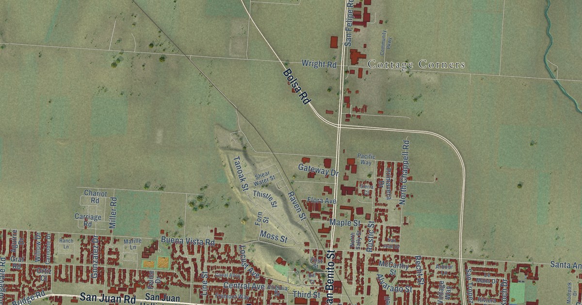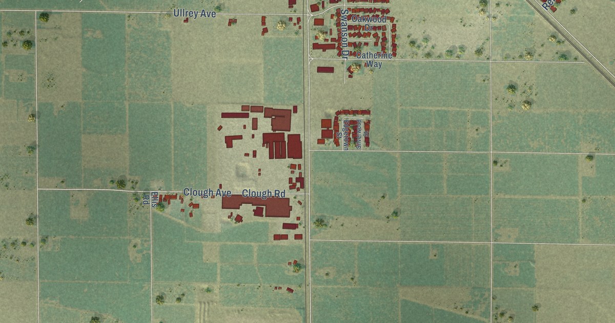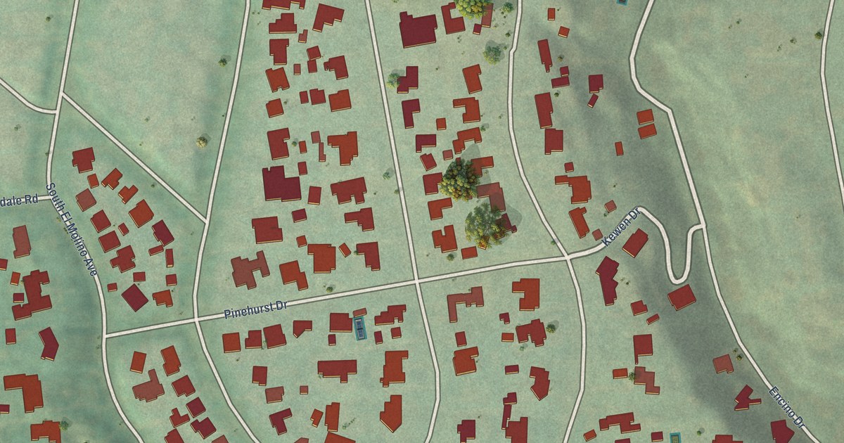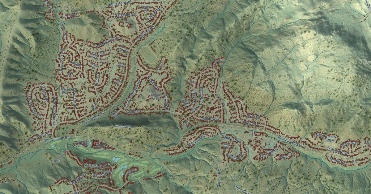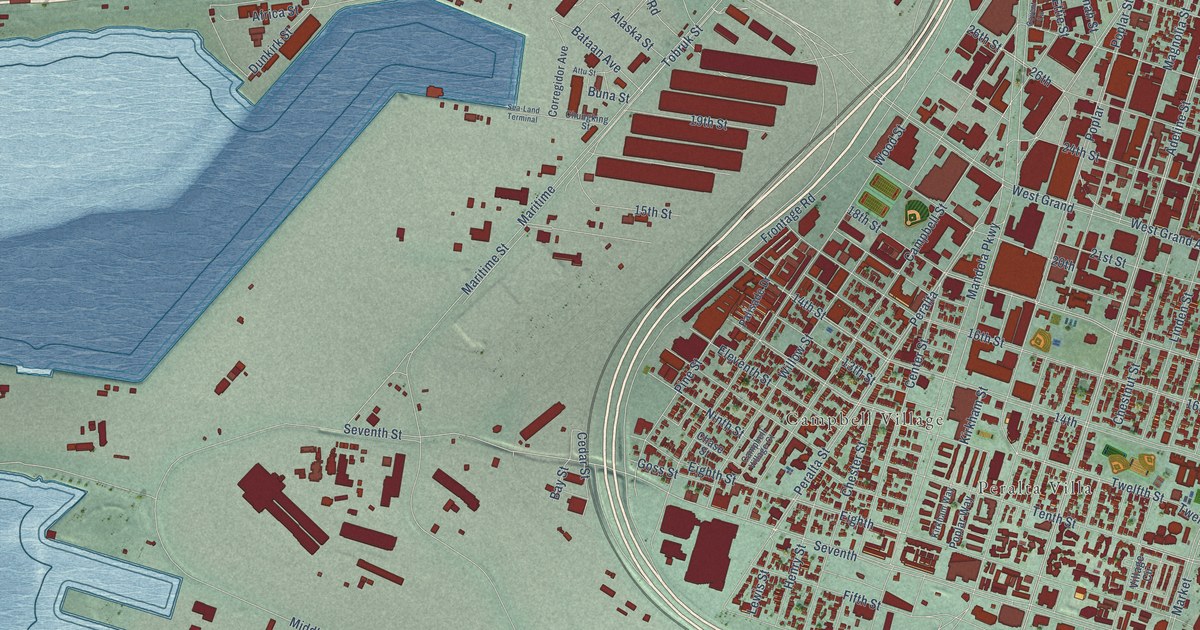
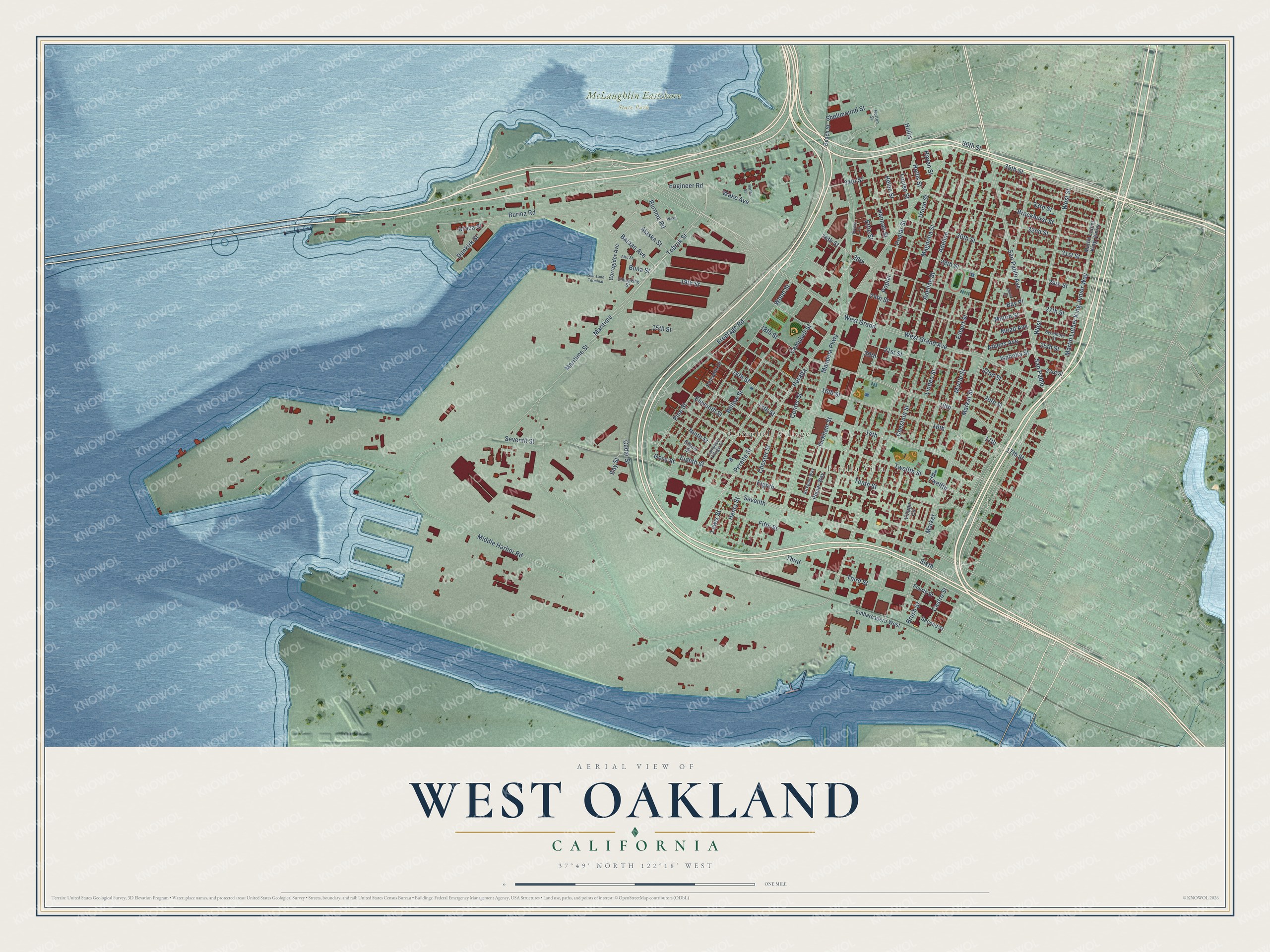
This beautifully detailed map of West Oakland, California was created in 2026 using aerial imagery combined with modern topographical, census, street and landmark data. It’s a one-of-a-kind view of West Oakland that combines accurate data with a vintage aesthetic. The map shows every building in its true location, many of the roads carry their names, and the shaded topographic relief shows the shape of the land.
Explore an aerial view of West Oakland, California
On the map you’ll find Peralta Villa, Campbell Village, McLaughlin Eastshore State Park, and Adeline, along with West Street, Mandela Parkway, Africa Street, Adeline Street, Tenth Street, Seventh Street, Eighth Street, 21st Street, and more. If you look closely you can even find your house accurately drawn in its correct location. Zoom in on the preview to look for yours.
Did You Know?
From Internet Archive: "In 1869 he established his residence in West Oakland, residing there till 1878, when he moved to Alameda."
West Oakland is a place in Alameda County.
Take a closer look at the West Oakland map
Names on this map
These names are printed on this map.
Places: Peralta Villa, Campbell Village and McLaughlin Eastshore State Park.
Streets and roads: West Street, Mandela Parkway, Africa Street, Adeline Street, Adeline, Tenth Street, Seventh Street, Eighth Street, 21st Street, Burnma Road, Middle Harbor Road, San Pablo Avenue.
More street names, A to Z
13th Street, 14th, 14th Street, 15th Street, 16th, 16th Street, 17th, 17th Street, 18th, 18th Street, 19th Street, 20th, 20th Street, 22nd Street, 23rd Street, 24th Street, 25th Street, 26th, 26th Street, 27th Street, 28th Street, 29th Street, 30th Street, 31st Street, 32nd Street, 33rd Street, 34th Street, 35th Street, 36th Street, Alaska Street, Alicia Street, Athens Avenue, Attu Street, Bataan Avenue, Bay Place, Bay Street, Beach Street, Brockhurst Street, Brush Street, Buna Street, Burma Road, Campbell Street, Campbell Village Court, Castro Street, Cedar Street, Center Street, Chase Street, Chester Street, Chestnut Street, Chungking Street, Corregidor Avenue, Covent Lane, Dunkirk Street, Eighth, Eleventh Street, Embarcadero West, Engineer Road, Ettie Street, Fifth Street, Filbert Street, Fourth Street, Frontage Road, Goss Street, Hannah Street, Harlan Street, Haven Street, Helen Street, Henry Street, Hollis, Hollis Street, Horton Street, Isabella Street, Kirkham Street, Kirkham Way, Lewis Street, Linden Street, Louise Street, Magnolia Street, Maritime, Maritime Street, Market, Market Street, Martin Luther King Junior, Martin Luther King Junior Way, Mead Avenue, Milton Street, Myrtle Street, Ninth Street, Palisade Drive, Peralta, Peralta Street, Pine Street, Poplar, Poplar Street, Poplar Way, San Pablo, Sea-Land Terminal, Second Street, Seventh, Shellmound Street, Sixth, Sycamore Street, Third, Third Street, Tobruk Street, Twelfth, Twelfth Street, Union Street, Village Circle, Wake, Wake Avenue, West, West Grand, West Grand Avenue, Willow Street, Wood Street.
See it on a wall
The West Oakland map as a framed print. Swipe for more.


This beautifully detailed map of West Oakland makes an attractive addition to your office, library, or den, and it can even be used to teach children the geography and history of the area. It also makes a great gift for someone who left West Oakland and still calls it home. When you’re done exploring, click here to get your copy of the West Oakland map.