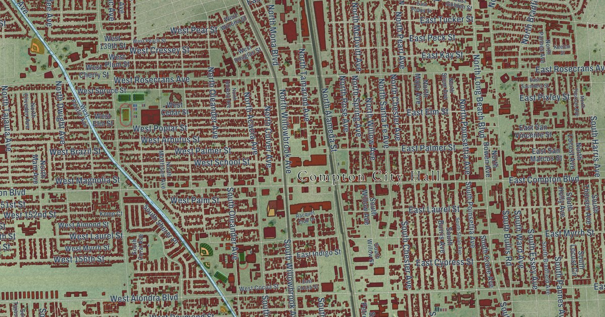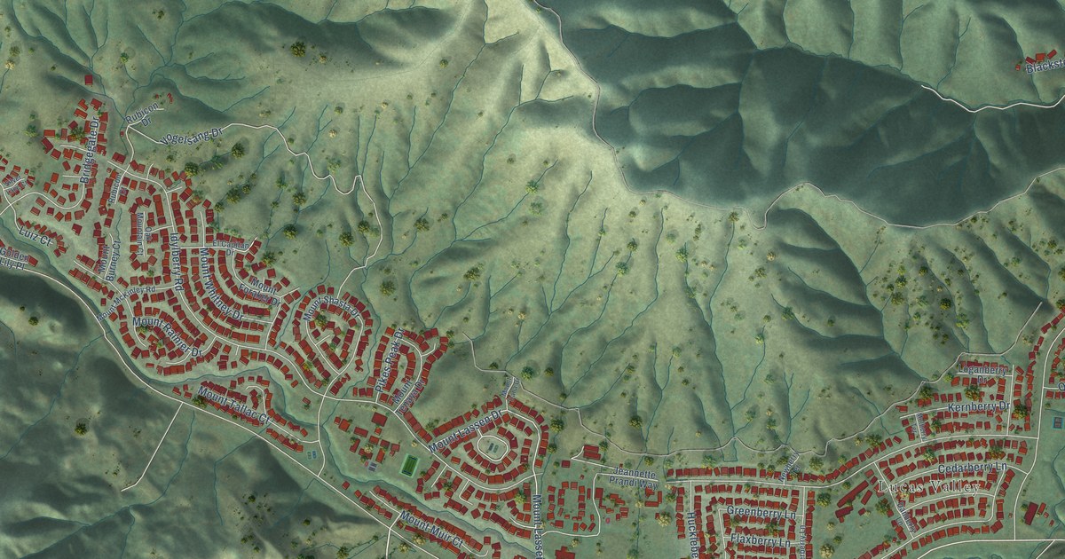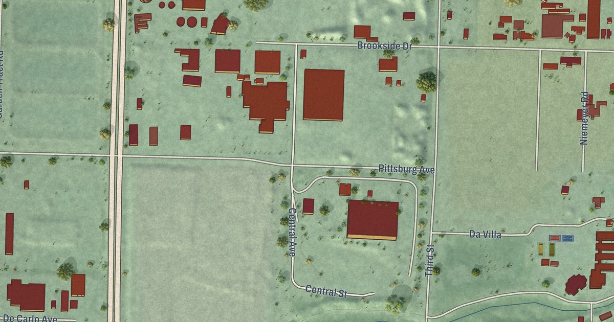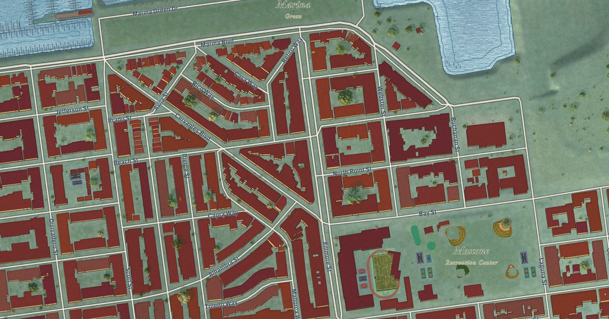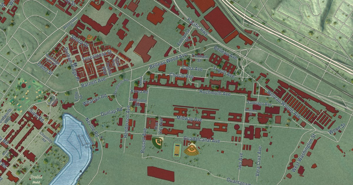
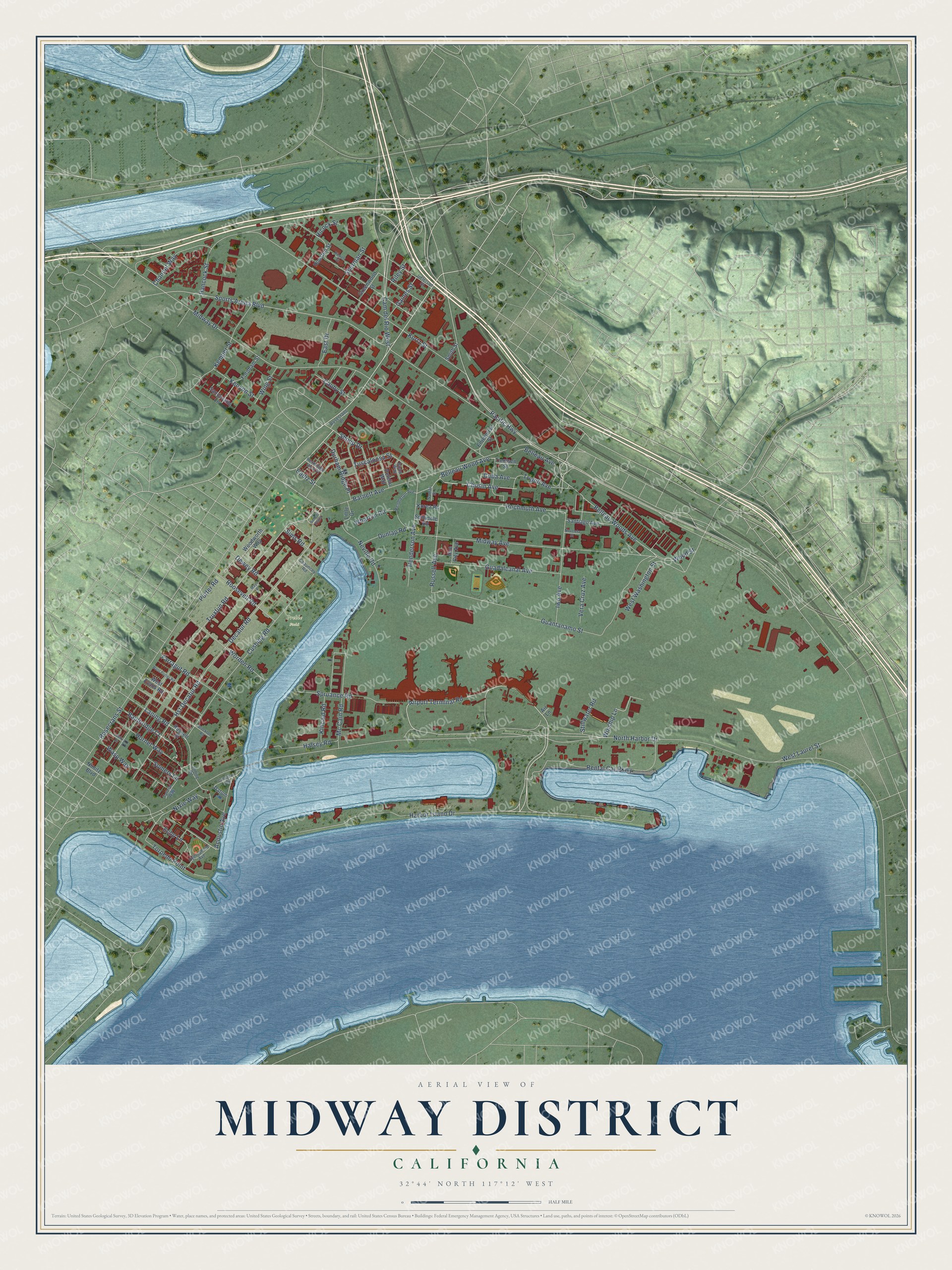
This beautifully detailed map of Midway District, California was created in 2026 using aerial imagery combined with modern topographical, census, street and landmark data. It’s a one-of-a-kind view of Midway District that combines accurate data with a vintage aesthetic. The map shows every building in its true location, many of the roads carry their names, and the shaded topographic relief shows the shape of the land.
Explore an aerial view of Midway District, California
On the map you’ll find Preble Field and Cam del Rio West, along with Harbor Island Drive, Rosecrans Street, Airport Terminal Road, Tripoli Avenue, Pacific Highway, Belleau Wood Avenue, Decatur Road, Hancock Street, Sports Arena Boulevard, Belleau Woods Avenue, and more. If you look closely you can even find your house accurately drawn in its correct location. Zoom in on the preview to look for yours.
Did You Know?
From Internet Archive: "By the first of January there will be at least four new companies operating in this dis- One of the wells of the Midway Oil Co., Midway District."
Midway District is a place in San Diego County.
Take a closer look at the Midway District map
Names on this map
These names are printed on this map.
Places: Preble Field.
Streets and roads: Harbor Island Drive, Rosecrans Street, Airport Terminal Road, Tripoli Avenue, Pacific Highway, Cam del Rio West, Belleau Wood Avenue, Decatur Road, Hancock Street, Sports Arena Boulevard, Belleau Woods Avenue, Nixie Way.
More street names, A to Z
Acoustic Avenue, Air Lane, Bainbridge Court, Barnett Avenue, Belleau Avenue, Cadiz Street, Callaghan Circle, Cauby Street, Channel Way, Chauncey Road, Chosin Avenue, Cuba Avenue, Cushing Road, Datum, Dewey Road, Dunlap Road, Durham Ridge Place, East Drive, Echo Lane, Enterprise Street, Farragut Road, Fordham Street, Gaines Street, Greenwood Street, Guadalcanal Avenue, Guam Way, Guantanamo Street, Halsey Road, Henderson Avenue, Hermitage View Place, Hicock Street, Hochmuth Avenue, Hornet Way, Houston Street, Hst Decatur Road, Hue City Avenue, Hydrophone Avenue, Iwo Avenue, Jefferson Street, Kemper Street, Kenyon Street, Kincaid Road, Korea Road, Kurtz Street, Laning Road, Lanning Road, Leahy Lane, Little Drive, Mayo Place, Mc Cain Road, Midway Avenue, Midway Drive, Neville Road, Nimitz Boulevard, North Harbor Drive, Noveleta Street, Peleliu Way, Pendleton Avenue, Pickett Street, Porter Road, Rental Car Parkway, Riley Street, Roosevelt Road, Rosecrans Place, Russell Avenue, Russell Street, Samar Street, Sandcastle Lane, Santiago Avenue, Sellers Plaza, Seminole Road, Sherman Street, Shoup Drive, Sims Road, Smith Street, Somers Lane, Spruance Road, Stillwater Road, Stockton Road, Tattnal Way, Tientsen Street, Torpedo Point, Truxtun Road, Tuscaloosa Street, Vera Cruz Avenue, Wasp Way, West Evans Road, West Laurel Street, West Porter Road, West Washington Street, Wharton Road, Wing Street, Winship Lane, Wood Street, Woodworth Way, Worden Road.
See it on a wall
The Midway District map as a framed print. Swipe for more.


This beautifully detailed map of Midway District makes an attractive addition to your office, library, or den, and it can even be used to teach children the geography and history of the area. It also makes a great gift for anyone who grew up in Midway District or moved away. When you’re done exploring, click here to get your copy of the Midway District map.