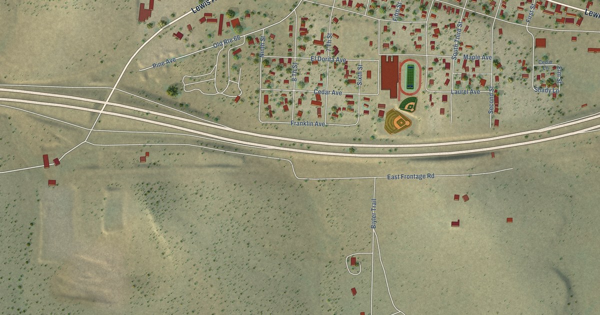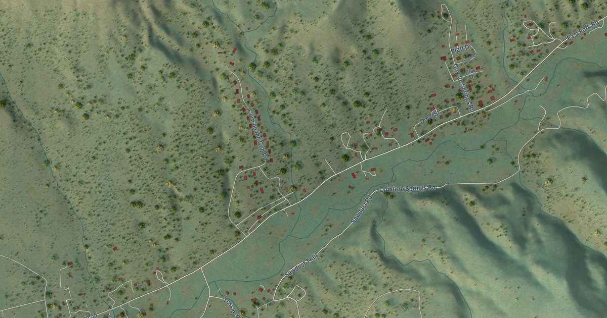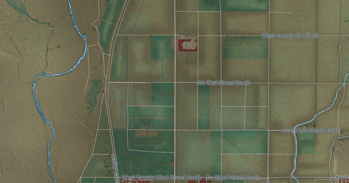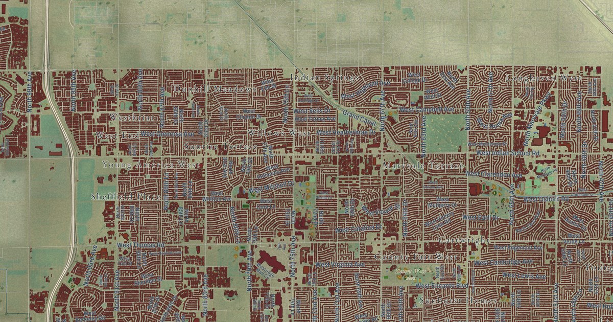
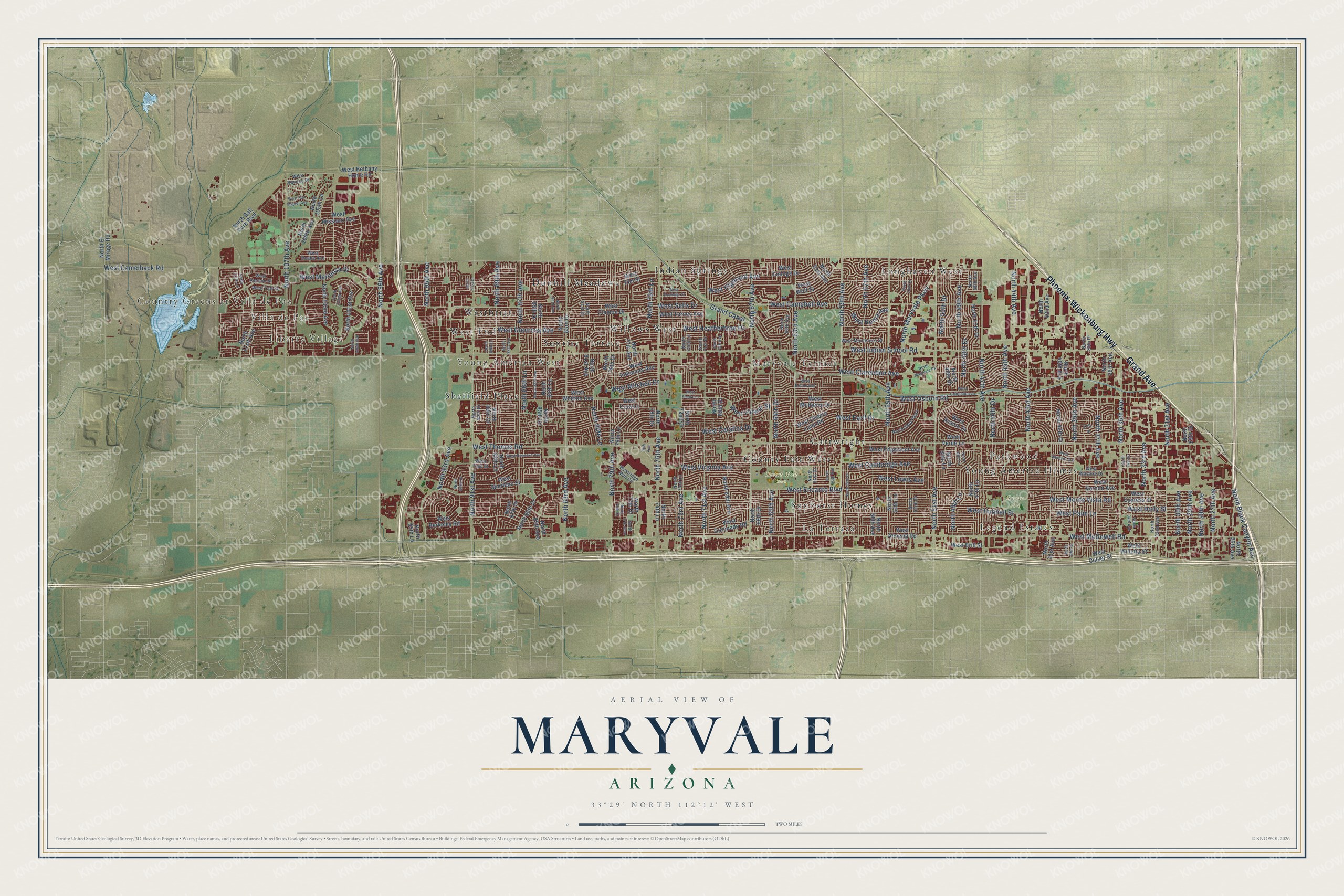
This beautifully detailed map of Maryvale, Arizona was created in 2026 using aerial imagery combined with modern topographical, census, street and landmark data. It’s a one-of-a-kind view of Maryvale that combines accurate data with a vintage aesthetic. The map shows every building in its true location, many of the roads carry their names, and the shaded topographic relief shows the shape of the land.
Explore an aerial view of Maryvale, Arizona
On the map you’ll find Country Greens at Villa de Paz, Villa de Paz, Liberty Village, Young America West, Desert West Park, Sueno Park, Longhaven West, Indian Springs, Cartwright, and Willows West, along with Sunrise Terrace, Maryvale Terrace, and more. If you look closely you can even find your house accurately drawn in its correct location. Zoom in on the preview to look for yours.
Take a closer look at the Maryvale map
Names on this map
These names are printed on this map.
Places: Country Greens at Villa de Paz, Villa de Paz, Liberty Village, Young America West, Desert West Park, Sueno Park, Longhaven West, Indian Springs, Sunrise Terrace, Cartwright, Maryvale Terrace, Willows West, La Terraza, Westbriar, Parkwood, Dunhill Meadows, West End, Legend Estates, Sunburst Homes, Sheffield Place, County Fair West and Young America Homes.
Streets and roads: Grand Avenue, Phoenix-Wickenburg Highway, North 67th Avenue, North 59th Avenue, West Hubbell Street, North 99th Avenue, North Black Canyon Acc, West Thomas Road, West Encanto Boulevard, West Indian School Road, West Osborn Road, West McDowell Road.
More street names, A to Z
37th Drive, 76th Avenue, Grand Canal, North 25th Avenue, North 27th Avenue, North 28th Avenue, North 29th Avenue, North 29th Drive, North 30th Avenue, North 31st Avenue, North 32nd Avenue, North 33rd Avenue, North 34th Avenue, North 34th Drive, North 35th Avenue, North 36th Avenue, North 37th Avenue, North 38th Drive, North 39th Avenue, North 39th Drive, North 40th Avenue, North 40th Drive, North 41st Avenue, North 42nd Avenue, North 43rd Avenue, North 44th Avenue, North 45th Avenue, North 46th Drive, North 47th Avenue, North 47th Drive, North 47th Lane, North 48th Avenue, North 48th Drive, North 48th Lane, North 49th Avenue, North 49th Drive, North 49th Lane, North 50th Drive, North 50th Lane, North 51st Avenue, North 52nd Drive, North 53rd Drive, North 53rd Parkway, North 54th Lane, North 55th Avenue, North 56th Avenue, North 57th Avenue, North 58th Drive, North 60th Avenue, North 61st Avenue, North 61st Drive, North 63rd Avenue, North 64th Avenue, North 64th Drive, North 65th Avenue, North 66th Drive, North 69th Avenue, North 69th Drive, North 70th Avenue, North 71st Avenue, North 71st Drive, North 72nd Drive, North 72nd Lane, North 73rd Avenue, North 73rd Lane, North 74th Lane, North 75th Avenue, North 75th Drive, North 75th Lane, North 77th Avenue, North 77th Drive, North 77th Glen, North 78th Drive, North 79th Avenue, North 79th Drive, North 79th Lane, North 80th Lane, North 81st Avenue, North 81st Drive, North 83rd Avenue, North 83rd Drive, North 84th Avenue, North 84th Lane, North 85th Avenue, North 85th Drive, North 85th Lane, North 86th Avenue, North 86th Drive, North 86th Lane, North 87th Avenue, North 87th Drive, North 88th Avenue, North 88th Lane, North 89th Avenue, North 89th Drive, North 89th Lane, North 90th Drive, North 91st Avenue, North 91st Drive, North 92nd Drive, North 93rd Avenue, North 95th Avenue, North 95th Lane, North 100th Avenue, North 101st Avenue, North 102nd Avenue, North 103rd Avenue, North 105th Lane, North 106th Avenue, North 107th Avenue, North 111th Avenue, North 111th Lane, North Ball Park Boulevard, North El Mirage Road, North Maryvale Parkway, North Maryvale Pk, West Almeria Road, West Avalon Drive, West Berkeley Road, West Bethany Home Road, West Brill Street, West Britton Avenue, West Cambridge Avenue, West Camelback Road, West Campbell Avenue, West Catalina Drive, West Cheery Lynn Road, West Clarendon Avenue, West Clayton Drive, West College Drive, West Coolidge Street, West Cora Lane, West Coronado Road, West Crittenden Lane, West Culver Street, West Cypress Street, West Earll Drive, West Edgemont Avenue, West Elm Street, West Flower Street, West Glenrosa Avenue, West Heatherbrae Drive, West Highland Avenue, West Holly Street, West Indianola Avenue, West Lewis Avenue, West Mariposa Street, West Missouri Avenue, West Mitchell Drive, West Monterosa Street, West Monte Vista Road, West Mulberry Drive, West Palm Lane, West Pierson Street, West Rancho Drive, West Reade Avenue, Westridge Mall Circle, West Roanoke Avenue, West Roma Avenue, West San Miguel Avenue, West Sells Drive, West Sheila Lane, West Sheridan Street, West Taft Street, West Turney Avenue, West Verde Lane, West Vernon Avenue, West Virginia Avenue, West Whitton Avenue, West Willetta Street, West Wilshire Drive, West Windsor Avenue, West Wolf Street, West Yale Street.
See it on a wall
The Maryvale map as a framed print. Swipe for more.


This beautifully detailed map of Maryvale makes an attractive addition to your office, library, or den, and it can even be used to teach children the geography and history of the area. It also makes a great gift for anyone who grew up in Maryvale or moved away. When you’re done exploring, click here to get your copy of the Maryvale map.