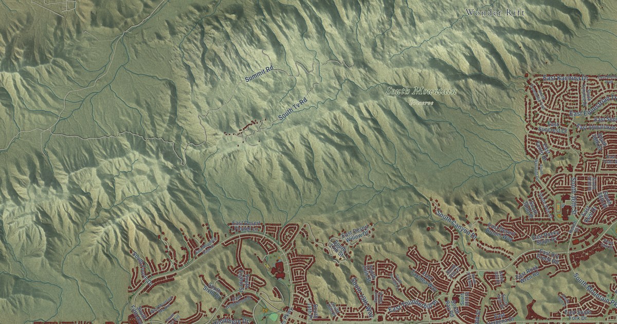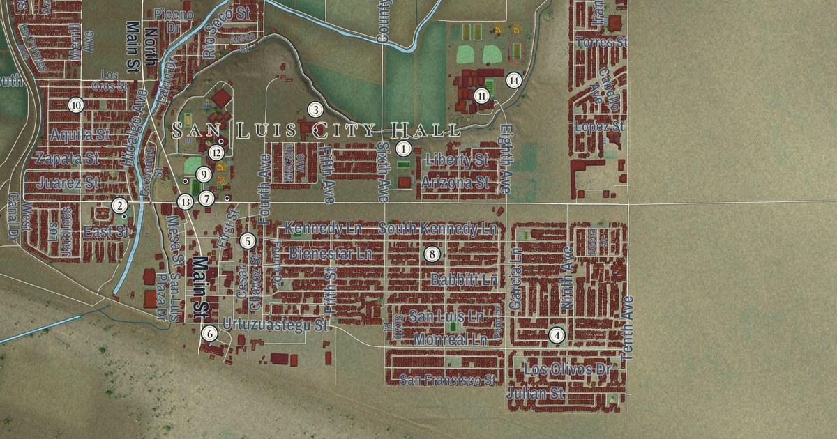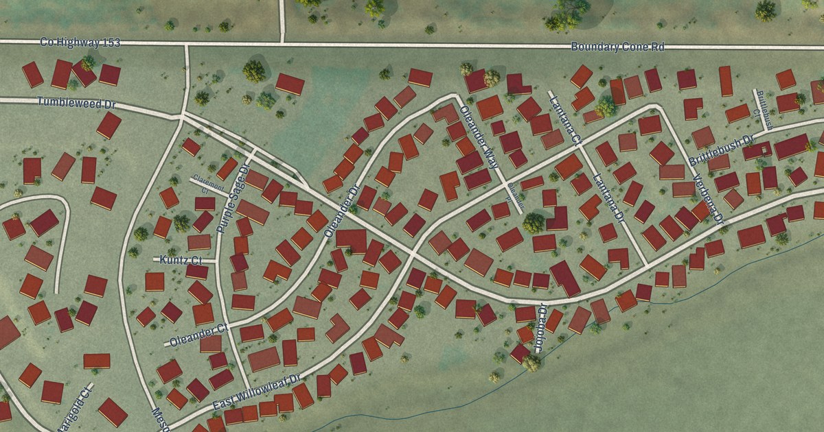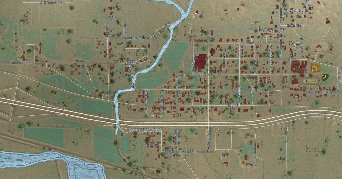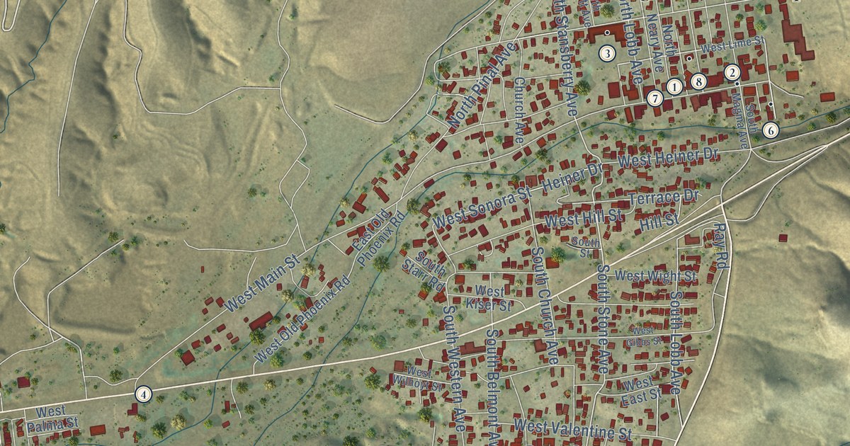
This beautifully detailed map of Superior, Arizona was created in 2026 using aerial imagery combined with modern topographical, census, street and landmark data. It’s a one-of-a-kind view of Superior that combines accurate data with a vintage aesthetic. The map shows every building in its true location, many of the roads carry their names, and the shaded topographic relief shows the shape of the land.
See the Superior, Arizona map on a wall
The Superior map as an 18 x 24 inch print in a black frame.

Explore an aerial view of Superior, Arizona
On the map you’ll find Superior Town Hall and Fairview Cemetery, along with West US Highway 60, Ray Road, Silver King Mine Road, North Stansberry Avenue, South Stone Avenue, West Ray Street, South Lobb Avenue, Gomez Drive, West Sonora Street, Heiner Drive, and more. If you look closely you can even find your house accurately drawn in its correct location. Zoom in on the preview to look for yours.
Did you know this piece of Superior, Arizona history?
Superior began as a mining town after Charles G. Mason and four partners found native silver in 1875. They staked the Silver King claim. The town was first called Queen, then Hastings. In 1902 it took the name of the Lake Superior and Arizona Copper Company.
Take a closer look at the Superior map
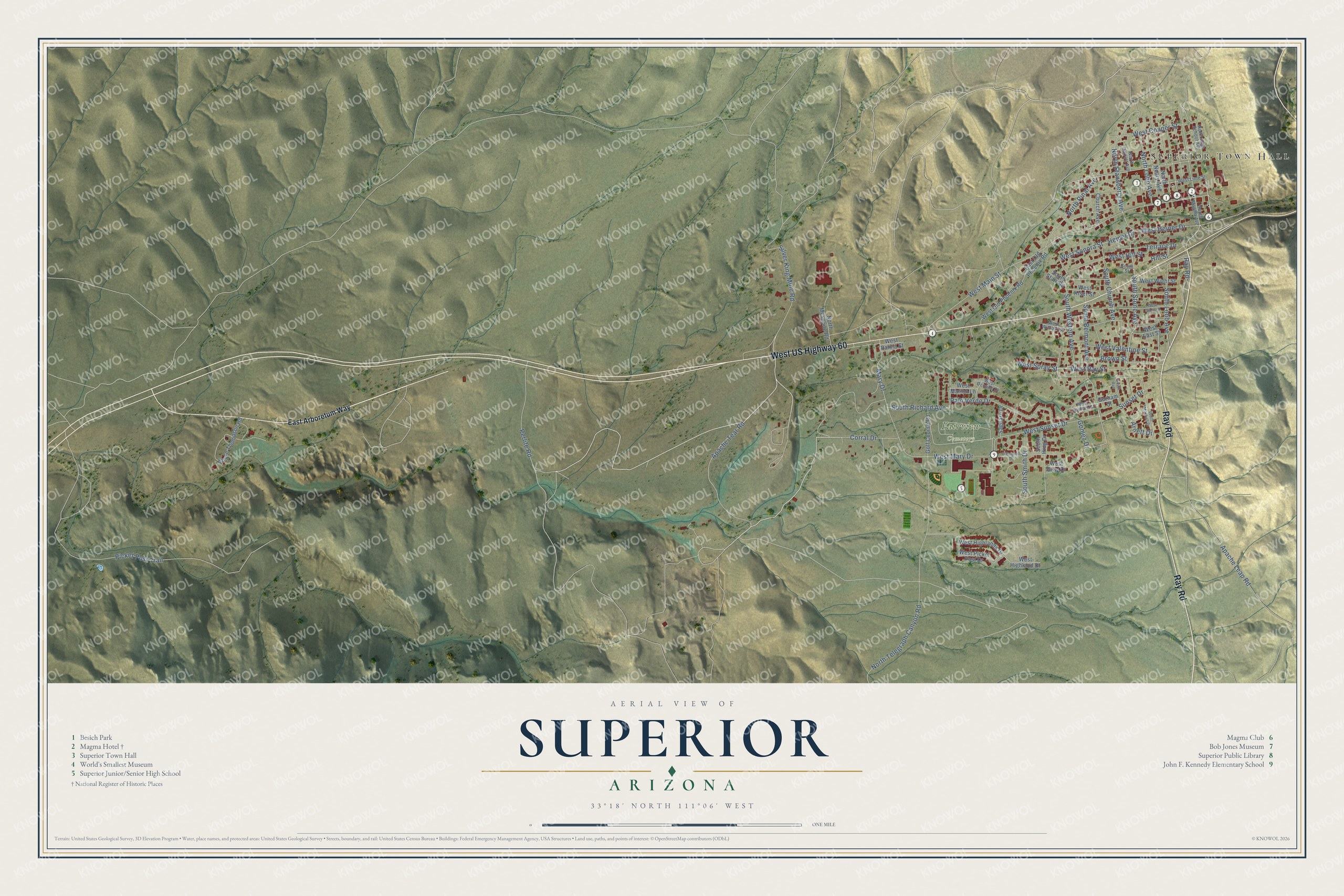
Click to explore a larger preview. The digital watermark does not appear on printed maps.
Street and place names on the Superior, Arizona map
These names are printed on the map of Superior, Arizona.
Places: Superior Town Hall and Fairview Cemetery.
Streets and roads: West US Highway 60, Ray Road, Silver King Mine Road, North Stansberry Avenue, South Stone Avenue, West Ray Street, South Lobb Avenue, Gomez Drive, West Sonora Street, Heiner Drive, Perlite Road, West Main Street.
More street names, A to Z
Apache Leap Road, Apache Tear Road, Arnett Drive, Boyce Thompson Road, Brown Street, Church Avenue, Corral Drive, East Arboretum Way, East Old Phoenix Road, Golf Course Road, Gorham Street, Hill Street, Mary Drive, North Garrott Avenue, North High School Avenue, North Lobb Avenue, North Mesquite Road, North Neary Avenue, North Pinal Avenue, North Telegraph Canyon Road, O'Donnell Drive, Palo Verde Drive, Picket Post Trail, Saguaro Drive, South Avenue, South Belmont Avenue, South Church Avenue, South Hing Drive, South Magma Avenue, South Mitchell Drive, South Richard Avenue, South Smith Drive, South Starr Road, South Street, South Western Avenue, Sunset Drive, Terrace Drive, West Copper Street, West East Street, West Gibbs Street, West Gorham Street, West Gray Drive, West Heiner Drive, West Highland Drive, West Highlands Drive, West Hill Street, West Kiser Street, West Lime Street, West Marion Lane, West Mary Drive, West Ocotillo Drive, West Old Phoenix Road, West Palma Street, West Picket Post Drive, West Spray Street, West Sunset Drive, West Valentine Street, West Wight Street, West Wilhoyt Street.
This beautifully detailed map of Superior makes an attractive addition to your office, library, or den, and it can even be used to teach children the geography and history of the area. It also makes a great gift for someone who left Superior and still calls it home. When you’re done exploring, click here to get your copy of the Superior map.