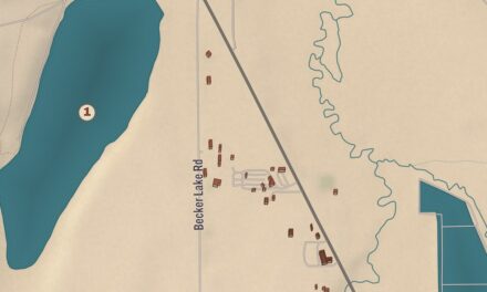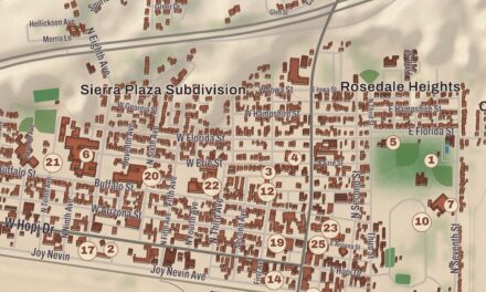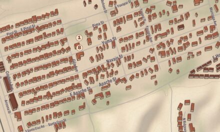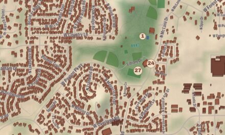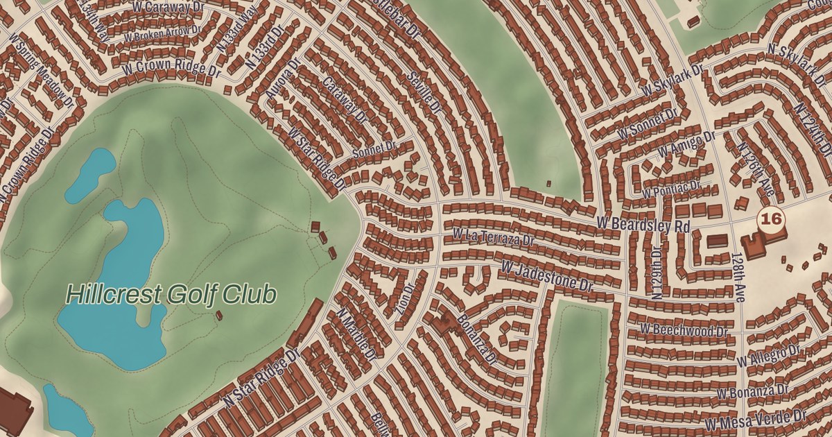
Sun City West was built by Del Webb’s company between 1978 and 1997, and one of the men who built it, R. H. Johnson, left his name all over it. This map of Sun City West prints the Kuentz Recreation Center, the R.H. Johnson Recreation Center, the R.H. Johnson Library, the Desert Trails Golf Course, the Grandview Golf Course and the Property Owners and Residents Association of Sun City West, with the River of Life giving shape to the land.
Sun City West is an unincorporated community in Maricopa County, 23 miles northwest of downtown Phoenix.
KNOWOL made this map in 2026 and gave modern data the look of a vintage atlas. The shaded relief of the landscape comes from United States Geological Survey elevation data, and the streets were drawn from Census Bureau files. The 2020 census counted 25,806 people here. Surprise borders the community on the south, west and north, U.S. Route 60 runs along its southwest edge, and the State Route 303 freeway bounds it to the north and northwest.
Built by Webb, named for Johnson
Sun City West went up on an 11,000-acre site west of the original Sun City, including part of the old Lizard Acres cattle ranch. The Del E. Webb Construction Company built it, with R. H. Johnson overseeing the work, and the Recreation Centers of Sun City West put the building years at 1978 to 1997, when the community was finished with some 16,900 homes; a sister community, Sun City Grand, was then started southwest of Grand Avenue. Johnson’s own story runs through the place. He went to work for Del Webb in 1935 as a timekeeper at $75 a month, on a dormitory job for Northern Arizona University, became president of the company in 1967, and as chairman and chief executive from 1974 to 1981 he oversaw the start of Sun City West. The community’s library, a recreation center and its main boulevard are named for him.
A town without a town government
Instead of a city council, Sun City West is looked after by two community groups. The Recreation Centers of Sun City West run the parks and recreation, including the Kuentz and R.H. Johnson recreation centers and seven golf courses, among them Desert Trails and Grandview. The Property Owners and Residents Association, PORA, founded in 1979, speaks for the community with county and state government. Its milestones include leaving the Dysart School District in its first years, which ended school taxes in the original area, a 1983 drive for senior overlay zoning that the county approved in 1984, getting Sun City West included on the state map in 1982, and 11,000 signatures sent to Washington in a push for a post office. Its bingo games provide $12,000 a year to charities, and its building holds a visitors center and the Del Sol Gallery.
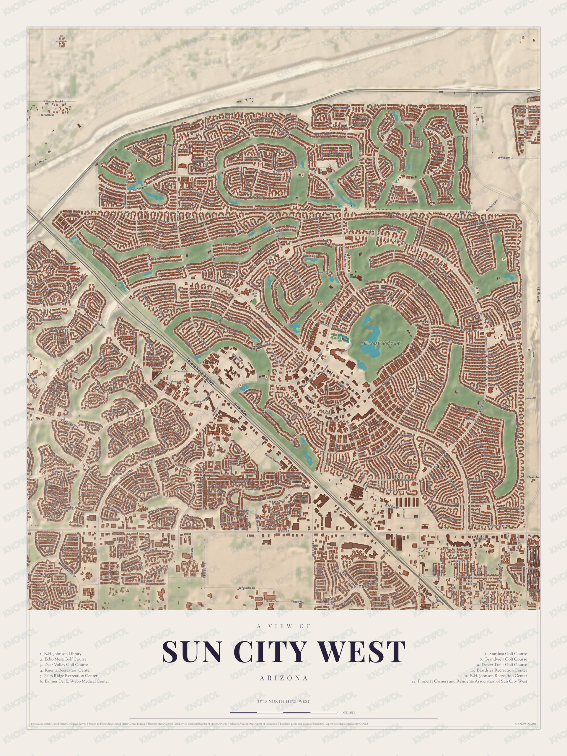
Click to explore a larger preview. The digital watermark does not appear on printed maps.
Names on this map
These names are printed on this map.
Streets and roads: W Pinnacle Peak Rd, W Planada Ln, W Williams Dr, Deer Valley, Bell Dr, W Yorkshire Dr, Wickenburg Hwy, Phoenix Ave, Stardust Blvd, Rock Dr, N Grand Ave, Deer Valley Dr.
More street names, A to Z
Goldwater Ridge Dr, Mountain View Bay, N Reems Blvd, Spanish Garden Dr, W Bell Rd, W Paradise Ln, W Parkview Dr, W Statler Blvd.
Around the map
Most of Sun City West isn’t in any school district, though pieces of it fall in the Dysart and Peoria districts. Water and sewer service comes from a private utility, Epcor Water. The R.H. Johnson Library, the Kuentz Recreation Center, the Desert Trails and Grandview golf courses and the River of Life all have their places on the sheet. The Recreation Centers describe Sun City West as an active adult community, built with what Del Webb’s company had learned from the original Sun City.
This Sun City West map makes a good addition to an office, library or den, and it can help teach children and grandchildren the geography and history of the area. It’s made for anyone who calls Sun City West home, and KNOWOL created it in 2026 to show the community as it looks today. Zoom in on the preview above to explore the details, then click here to get your copy of the Sun City West map.

Sources