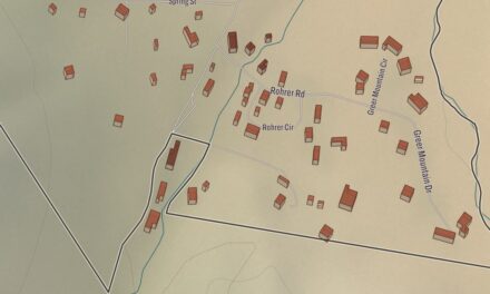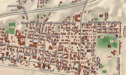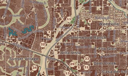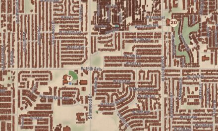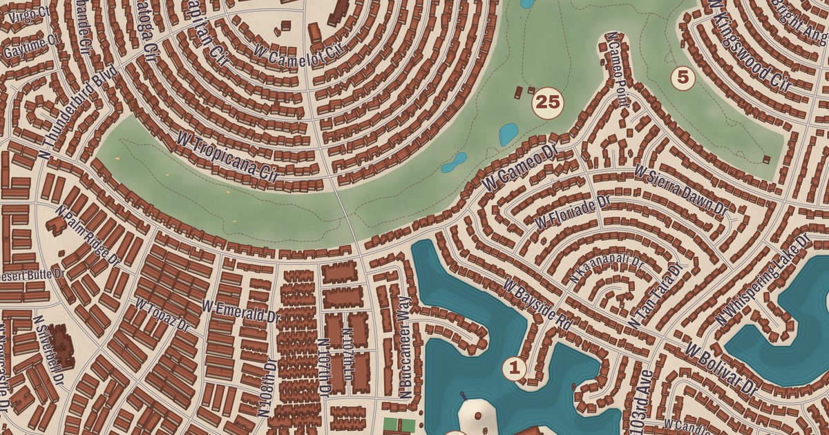
Look at Sun City from above and the streets curl into circles, set in four big pinwheels. This map of Sun City prints the Sun City Library, the Bell Recreation Center, the Lakeview Recreation Center, the Sundial Recreation Center, the Union Hills Golf Club and Viewpoint Lake, from Westbrook Village out to Country Meadows, with Dawn Lake giving shape to the land.
Sun City is an unincorporated community in Maricopa County, 16 miles northwest of downtown Phoenix.
KNOWOL made this map in 2026 and gave modern data the look of a vintage atlas. The shaded relief of the landscape comes from United States Geological Survey elevation data, and the streets were drawn from Census Bureau files. The 2020 census counted 39,931 people in Sun City, a retirement community popular with snowbirds, with Sun City West as its adjoining sister.
Opening weekend
The land was farm country first. In 1892 R. P. Davie and a partner, both from Wisconsin, bought 640 acres each along the Santa Fe railroad and set up a water stop they called Marinette, after their home town; homes, a general store and in 1912 a post office followed. Davie tried sugar beets in 1918, but the soil couldn’t make them sweet enough, and in 1920 he sold to the Southwest Cotton Company, which sold to J. G. Boswell in 1936 for cotton and lettuce. In June 1959 James G. Boswell II sold the company’s Marinette and Santa Fe ranches, 20,000 acres in all, to the Del E. Webb Development Co. for more than $20 million.
Sun City opened on January 1, 1960, with five model homes, a shopping center, a recreation center and a golf course. The opening weekend drew 100,000 people, ten times more than expected, and landed the community a Time magazine cover story. At first it was called the Marinette Retirement Community, but after a nationwide naming contest, with a house as the prize, Del Webb chose the name Sun City. It was his company’s first retirement community, and Sun City West, Sun City Grand, Sun City Anthem and Sun City Festival followed. The old town lives on in the name of the Marinette Recreation Center and in a historical marker at the Del Webb Sun Cities Museum. Sun City is also known to law students: when a cattle feedlot’s smell and flies reached the new homes, Webb sued, and in Spur Industries v. Del E. Webb Development Co. in 1972 the Arizona Supreme Court upheld shutting the feedlot down as a public nuisance but made Webb cover the feedlot’s losses from moving or closing, a case used in first-year property law courses.
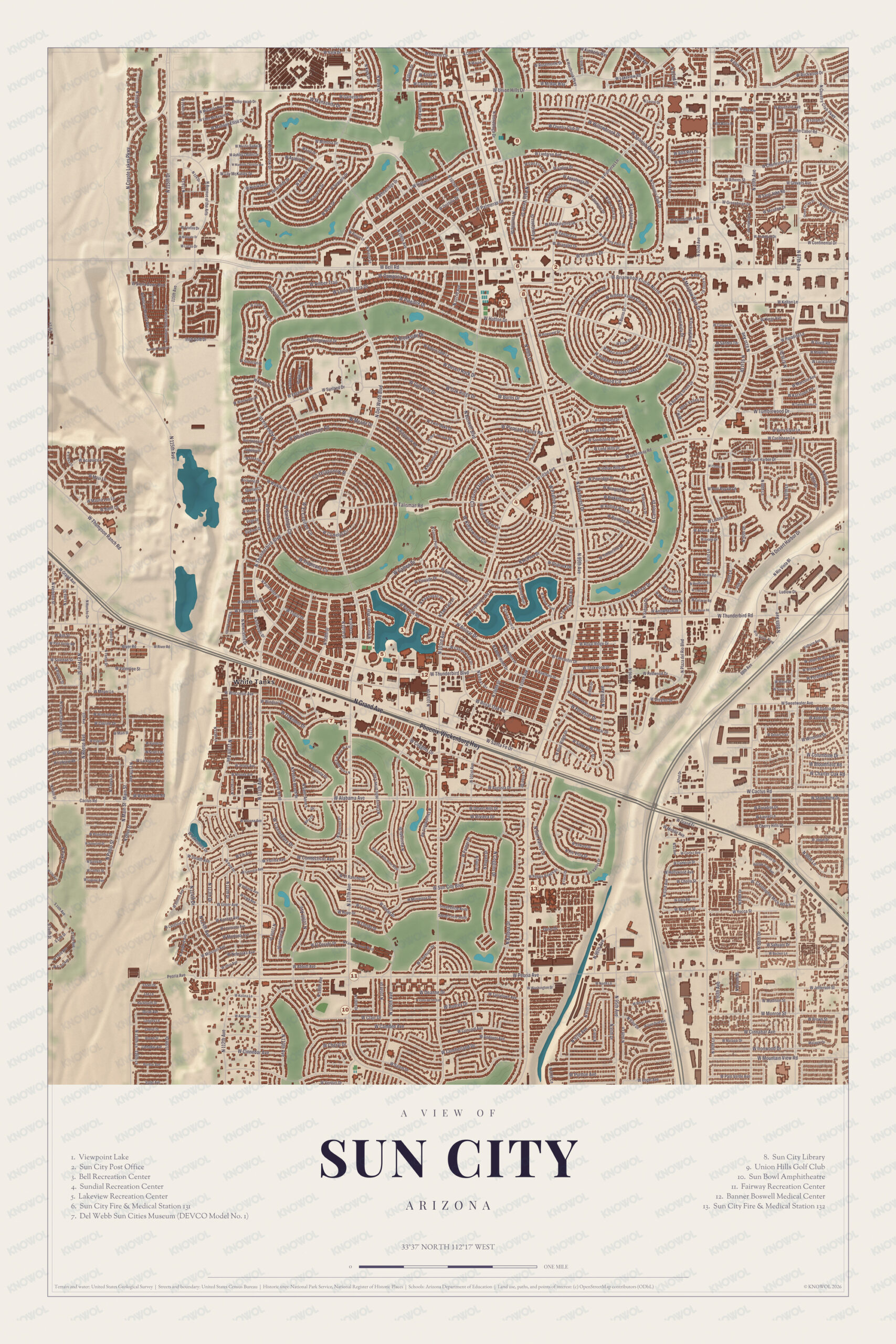
Click to explore a larger preview. The digital watermark does not appear on printed maps.
Names on this map
These names are printed on this map.
Streets and roads: Ave of the Arts, W Union Hills Dr, W Bell Rd, W River Rd, W Sunland Ct, N Grand Ave, Id Ranch Rd, N Honcho Dr, Sunland Dr, W Talisman Rd, W Thunderbird Blvd, N Plaza del Rio Blvd.
More street names, A to Z
Leawood Dr, Ludlow Dr, N Rio Vista Bl, Peoria Ave, Sweetwater Ave, W Alabama Ave, W Cactus Rd, W Cinnabar Ave, Wickenburg Hwy, W Mountain View Rd, W Thunderbird Rd.
Golf, bowls and baseball
Sun City has eight golf courses, seven recreation centers and the Sun Bowl Amphitheatre, and its four lawn bowling locations were among the sites of the 2019 US Lawn Bowling Open’s South Central Division. Sun City Stadium, built by Del Webb, was dedicated on June 17, 1971, when the Sun City Saints, a women’s softball team, won a doubleheader there, and it was the spring training home of the Milwaukee Brewers from 1973 to 1985 before it was taken down in 1995. Sun City isn’t in any school district: the Sun City Home Owners Association led the effort to keep it out as a way of lowering taxes, and students can attend schools in the neighboring Peoria and Dysart districts. The Sun City Library, the Union Hills Golf Club, Viewpoint Lake, Dawn Lake, Westbrook Village and Country Meadows all have their places on the sheet.
This Sun City map makes a good addition to an office, library or den, and it can help teach children and grandchildren the geography and history of the area. It’s made for anyone who calls Sun City home, and KNOWOL created it in 2026 to show the community as it looks today. Zoom in on the preview above to explore the details, then click here to get your copy of the Sun City map.

Sources