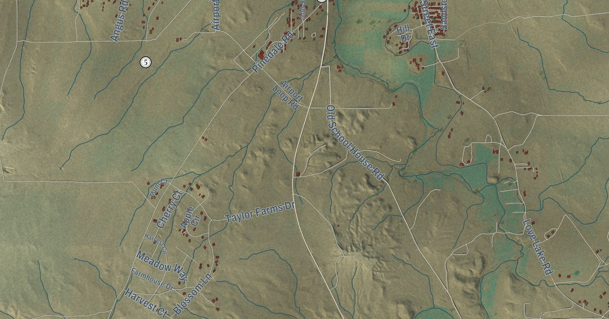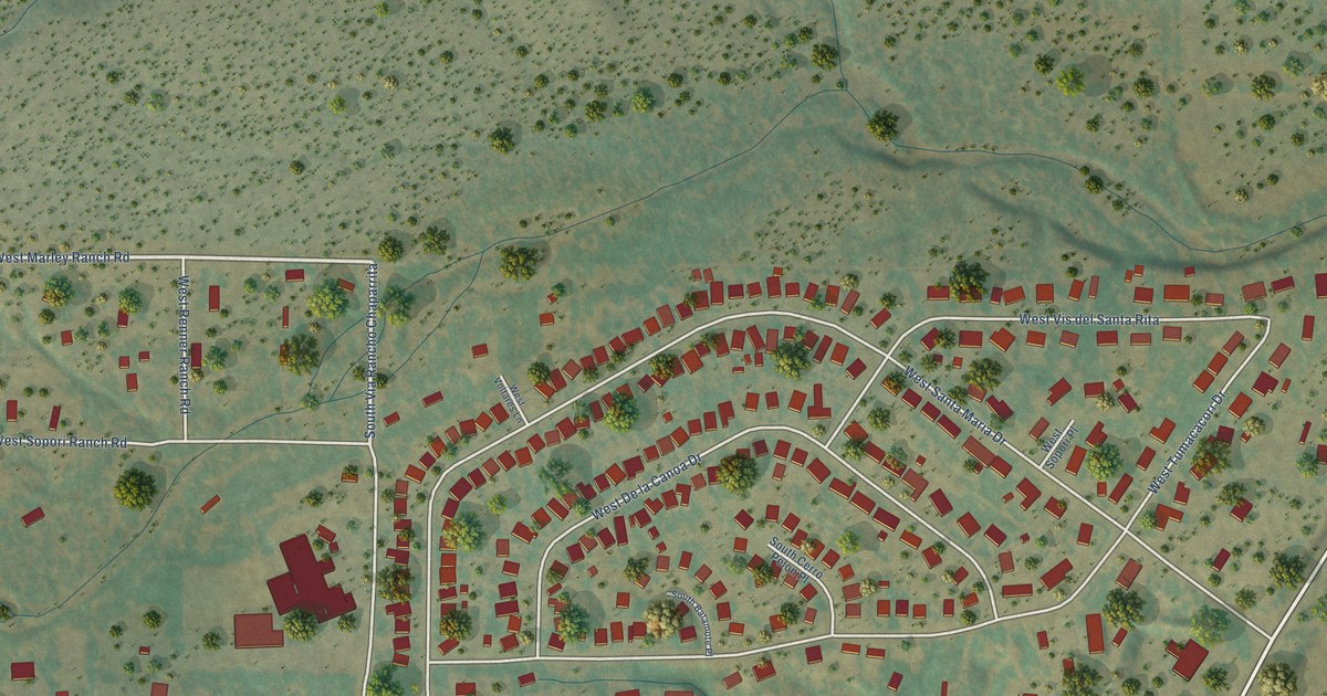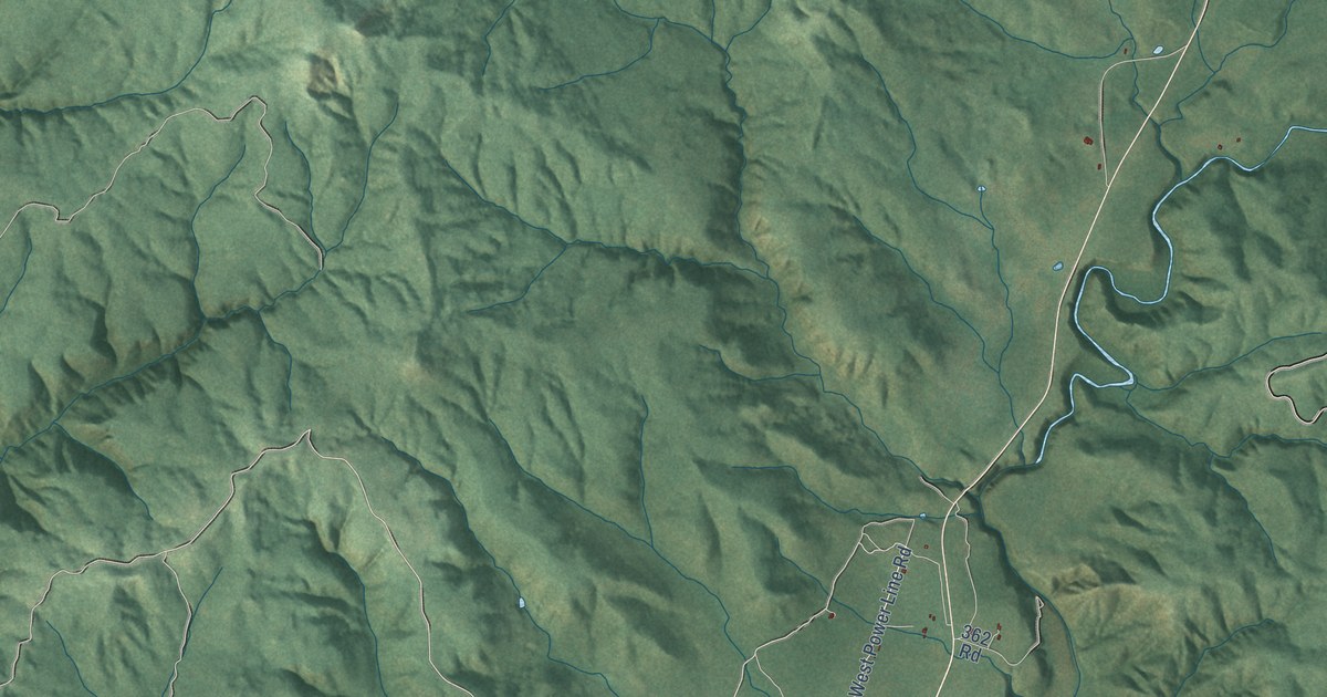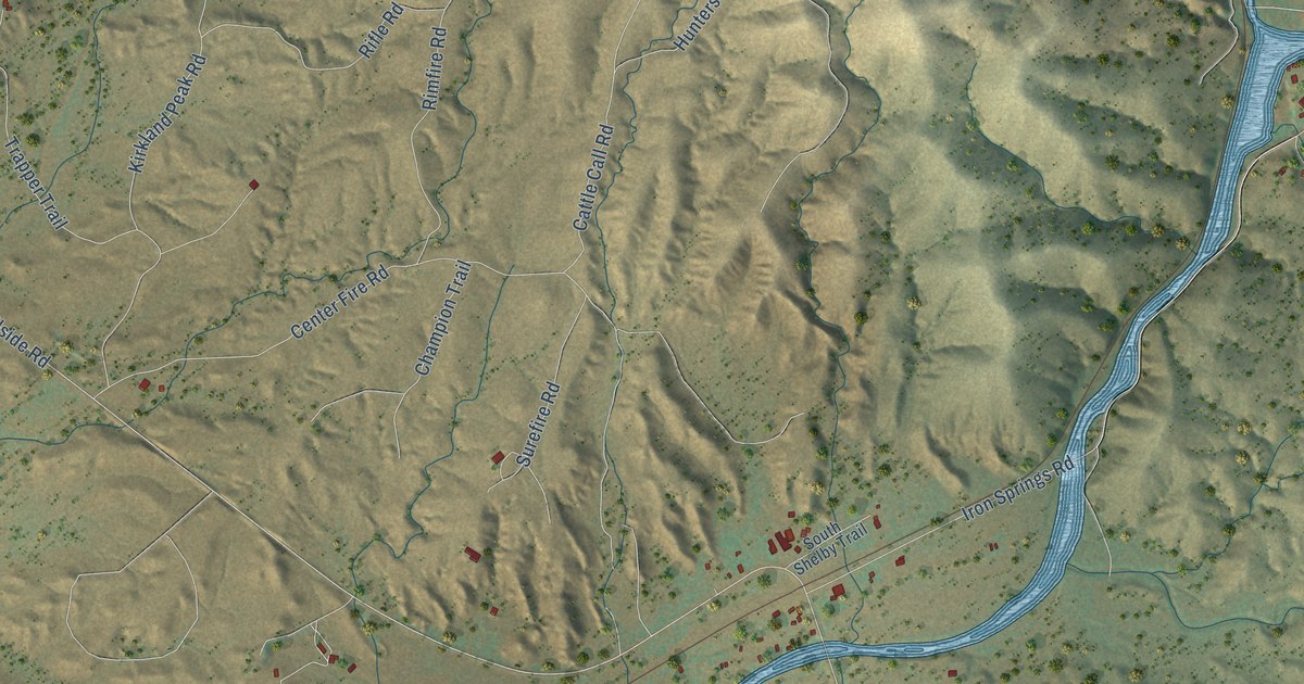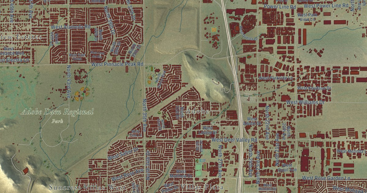
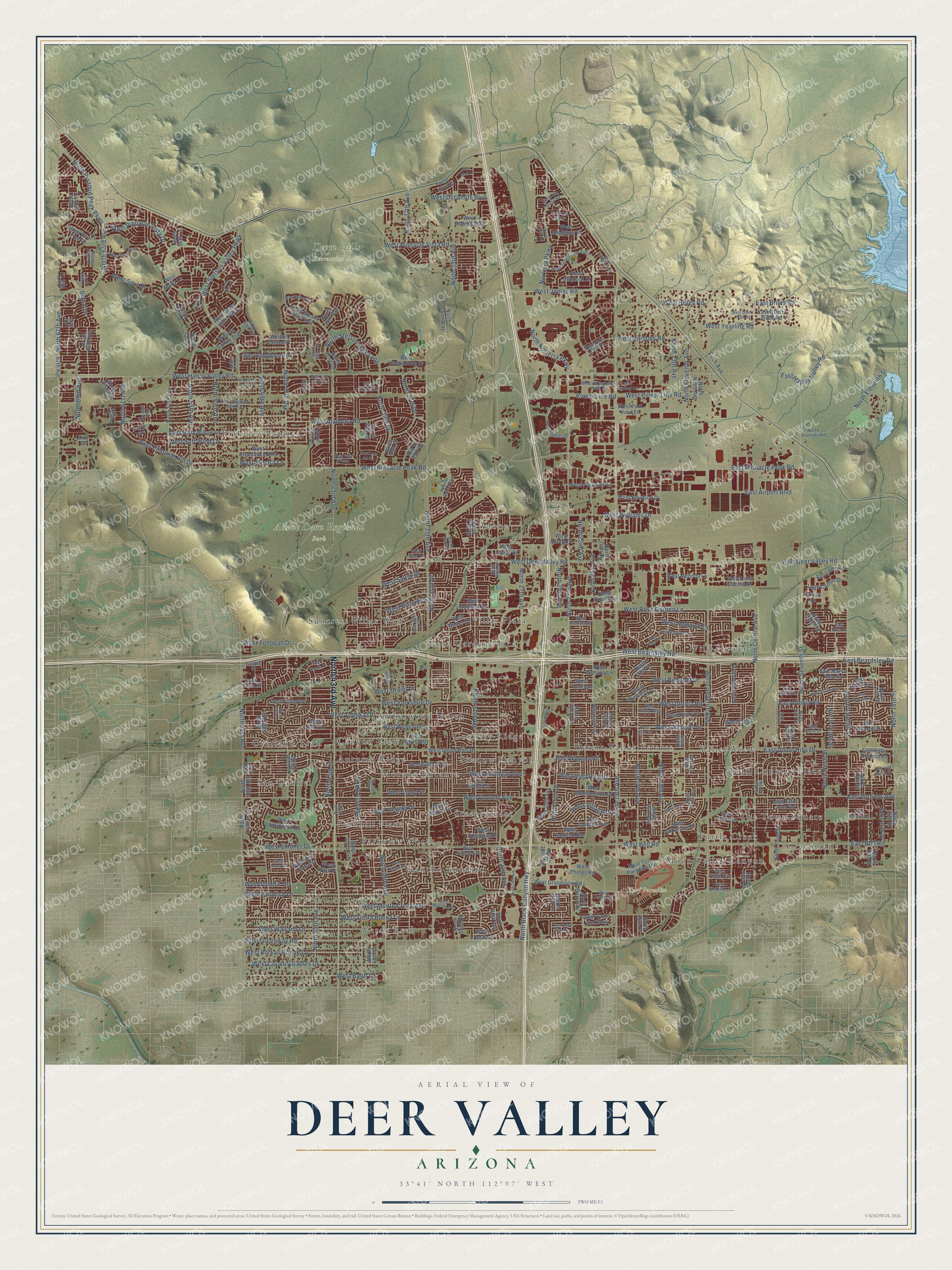
This beautifully detailed map of Deer Valley, Arizona was created in 2026 using aerial imagery combined with modern topographical, census, street and landmark data. It’s a one-of-a-kind view of Deer Valley that combines accurate data with a vintage aesthetic. The map shows every building in its true location, many of the roads carry their names, and the shaded topographic relief shows the shape of the land.
Explore an aerial view of Deer Valley, Arizona
On the map you’ll find Adobe Dam Regional Park, Cave Buttes Recreation Area, Deem Hills Recreation Area, Turf Paradise, Verde Real, Wild Flower, Greentrails, Country Ridge, Adobe, Rose Garden Place, and Rancho Encanto, along with Overland Trail, and more. If you look closely you can even find your house accurately drawn in its correct location. Zoom in on the preview to look for yours.
Take a closer look at the Deer Valley map
Names on this map
These names are printed on this map.
Places: Adobe Dam Regional Park, Cave Buttes Recreation Area, Deem Hills Recreation Area, Turf Paradise, Verde Real, Wild Flower, Overland Trail, Greentrails, Country Ridge, Adobe, Rose Garden Place, Rancho Encanto, Steeplechase, Parkview Estates, Suncrest Villas West, Moon Valley Canyon, Valley View, Amberwood North, Parkview North, Desert Valley Estates, Turtle Creek, Morado Encanto, San Gabriel, Dunhill Place, Canyon View, Quail Country Place, Shadow Canyon, Autumn Ridge, Villas Plaza and The Town Square.
Streets and roads: North 43rd Avenue, North Black Canyon Highway, West Beardsley Road, West Jomax Road, West Utopia Road, North 63rd Avenue, North 41st Avenue, West Villa Rita Drive, West Alameda Road, North 17th Avenue, West Happy Valley Road, North 19th Avenue.
More street names, A to Z
49th Terrace, 64th Avenue, 67th Avenue, Covey Lane, East Airport Boulevard, East Beardsley Road, East Bell Road, East Briles Road, East Deer Valley Road, East Grovers Avenue, East Happy Valley Road, East Helena Drive, East Irma Lane, East Marco Polo Road, East Oraibi Drive, East Pinnacle Peak Road, East Piute Avenue, East Quartz Rock Road, East Sack Drive, East Saint John Road, East Salter Drive, East Sequoia Drive, East Tonto Lane, East Union Hills Drive, East Utopia Road, East Villa Maria Drive, East Villa Theresa Drive, East Wescott Drive, Escuda Drive, Fifth Avenue, Honeywell Inc, Line Drive, Lone Cactus Drive, Norterra Parkway, North 13th Avenue, North 13th Drive, North 13th Street, North 14th Place, North 14th Street, North 15th Avenue, North 15th Place, North 15th Street, North 16th Avenue, North 16th Drive, North 16th Street, North 17th Drive, North 19th Drive, North 20th Avenue, North 20th Drive, North 21st Avenue, North 22nd Avenue, North 22nd Lane, North 23rd Avenue, North 23rd Lane, North 24th Avenue, North 24th Drive, North 25th Avenue, North 25th Drive, North 26th Avenue, North 27th Avenue, North 28th Avenue, North 29th Avenue, North 29th Drive, North 30th Avenue, North 31st Avenue, North 31st Drive, North 32nd Drive, North 33rd Avenue, North 33rd Drive, North 34th Drive, North 35th Avenue, North 35th Drive, North 36th Avenue, North 37th Avenue, North 37th Drive, North 38th Avenue, North 38th Drive, North 39th Avenue, North 39th Drive, North 40th Avenue, North 40th Drive, North 40th Lane, North 42nd Avenue, North 42nd Drive, North 42nd Lane, North 43rd Drive, North 44th Avenue, North 44th Drive, North 44th Lane, North 45th Avenue, North 45th Drive, North 46th Drive, North 47th Avenue, North 47th Lane, North 48th Avenue, North 49th Avenue, North 49th Lane, North 50th Avenue, North 51st Avenue, North 51st Drive, North 52nd Drive, North 53rd Avenue, North 54th Avenue, North 55th Avenue, North 55th Lane, North 56th Drive, North 56th Lane, North 57th Avenue, North 59th Avenue, North 61st Avenue, North 61st Drive, North 62nd Avenue, North 64th Avenue, North 64th Drive, North 64th Lane, North 65th Avenue, North 65th Lane, North 66th Lane, North 67th Avenue, North Alameda Road, North Central Avenue, North Dream Hills Parkway, North Eighth Street, North Eleventh Avenue, North Eleventh Street, North Fifth Street, North First Drive, North First Street, North Fourth Street, North Garrin Drive, North Gidiyup Trail, North Hance Boulevard, North Lindner Drive, North Ninth Avenue, North Ninth Street, North Norterra Parkway, North Pocono Way, North Pyramid Peak Parkway, North Seventh Avenue, North Seventh Street, North Sixth Street, North Stetson Hills Loop, North Tenth Avenue, North Tenth Drive, North Tenth Street, North Third Avenue, North Third Street, North Twelfth Street, Paso Trail, Power Line Road, West Adobe Drive, West Aire Libre Avenue, West Anderson Drive, West Angela Drive, West Banff Lane, West Beck Lane, West Behrend Drive, West Bell Road, West Bent Tree Drive, West Betty Elyse Lane, West Beverly Lane, West Blaylock Drive, West Bluefield Avenue, West Blue Sky Drive, West Briles Road, West Cam del Rio, West Cam Vivaz, West Carol Ann Way, West Chama Drive, West Cll Lejos, West Continental Drive, West Coolbrook Avenue, West Country Gables Drive, West Creedance Boulevard, West Danbury Drive, West Davis Road, West Deem Hills Parkway, West Deer Valley Road, West Dynamite Boulevard, West El Cortez Place, West El Cortez Trail, West Electra Lane, West Escuda Drive, West Fallen Leaf Lane, West Fetlock Trail, West Grandview Road, West Greenway Road, West Grovers Avenue, West Hackamore Drive, West Halstead Drive, West Hartford Avenue, West Hatfield Road, West Hedgehog Place, West Helena Drive, West Juniper Avenue, West Kelton Lane, West Kerry Lane, West Kings Avenue, West Knudson Drive, West Kristal Way, West Lavey Road, West Libby Street, West Lindner Drive, West Lone Cactus Drive, West Louise Drive, West Lucia Drive, West Marconi Avenue, West Mark Lane, West Matthew Drive, West Melinda Lane, West Michelle Drive, West Michigan Avenue, West Misty Willow Lane, West Mohawk Lane, West Molly Lane, West Monona Drive, West Monte Cristo Avenue, West Montoya Lane, West Morningside Drive, West Morrow Drive, West Muriel Drive, West Oberlin Way, West Oraibi Drive, West Paradise Lane, West Park Place, West Parkside Lane, West Park View Lane, West Parsons Road, West Phelps Road, West Pinnacle Hill Drive, West Pinnacle Peak Road, West Pinnacle Vista Drive, West Pinnacle Vista Road, West Piute Avenue, West Port au Prince Lane, West Potter Drive, West Power Line Road, West Quail Avenue, West Quartz Rock Road, West Questa Drive, West Rose Garden Lane, West Ross Avenue, West Rowel Road, West Sack Drive, West Saddlehorn Road, West Saguaro Park Lane, West Salter Drive, West Sandra Terrace, West Soft Wind Drive, West Spur Drive, West Stetson Valley Parkway, West Taro Drive, West Taro Lane, West Tierra Buena Lane, West Tina Lane, West Tombstone Trail, West Tonopah Drive, West Tonto Lane, West Tonto Road, West Topeka Drive, West Turf Paradise Road, West Union Hills Drive, West Union Park Drive, West Via Dona Road, West Village Drive, West Villa Linda Drive, West Wagoner Road, West Wahalla Lane, West Waltann Lane, West Wescott Drive, West Westcott Drive, West Whispering Wind Drive, West Wickieup Lane, West Williams Drive, West Yearling Road, West Yorkshire Drive, West Yukon Drive.
See it on a wall
The Deer Valley map as a framed print. Swipe for more.


This beautifully detailed map of Deer Valley makes an attractive addition to your office, library, or den, and it can even be used to teach children the geography and history of the area. It also makes a great gift for someone who left Deer Valley and still calls it home. When you’re done exploring, click here to get your copy of the Deer Valley map.